Beacon Hill
Hill, Mountain in Yorkshire Ribble Valley
England
Beacon Hill
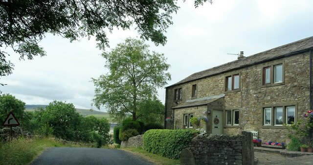
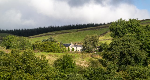
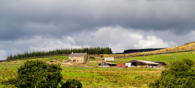
Beacon Hill is a prominent hill located in the county of Yorkshire, England. Standing at an elevation of approximately 1,000 feet, it is part of the Pennines mountain range, which stretches across northern England. The hill is situated near the village of Haworth and is within close proximity to the Yorkshire Dales National Park.
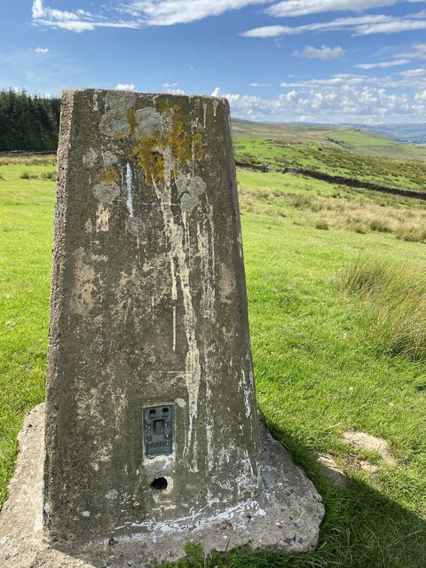
Beacon Hill gets its name from the historical practice of using it as a beacon site, where fires were lit to signal important messages or warnings. Its strategic location made it an ideal spot for this purpose, offering clear views of the surrounding landscape.
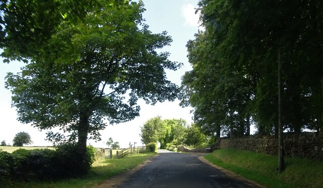
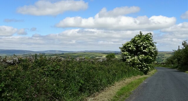
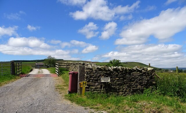
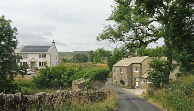
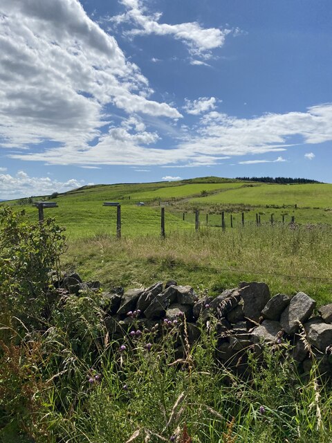
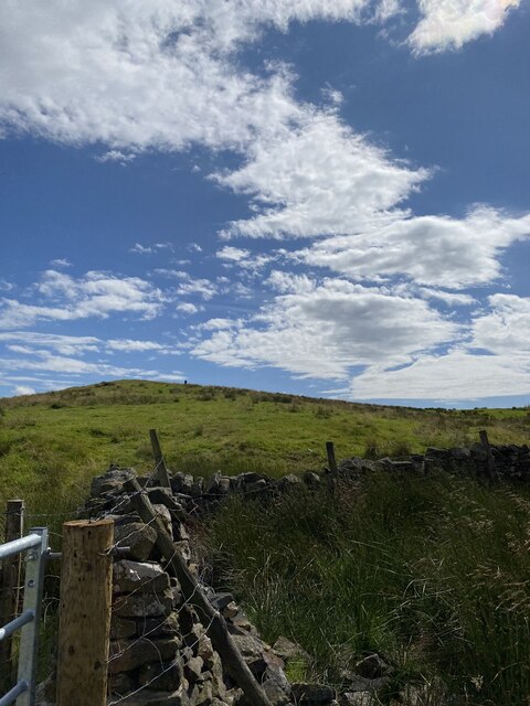
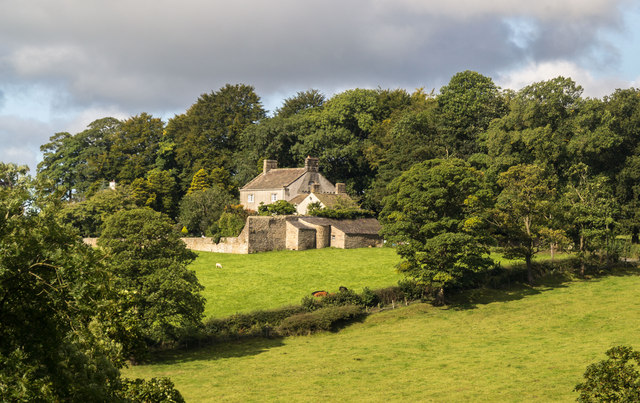
The hill itself is characterized by its gently sloping sides and a rounded summit, providing stunning panoramic vistas of the Yorkshire countryside. The area is known for its picturesque beauty, with rolling green hills, charming villages, and meandering streams.
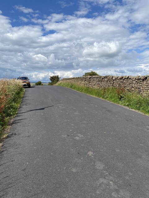
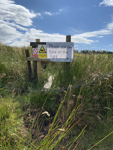
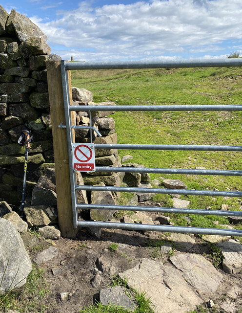
Beacon Hill is a popular destination for outdoor enthusiasts, hikers, and nature lovers. There are several well-maintained walking trails that allow visitors to explore the hill and its surroundings, providing opportunities to spot local wildlife and enjoy the tranquil atmosphere.
Additionally, the hill is home to an abundance of flora and fauna, including various species of birds, wildflowers, and trees. This makes it an ideal location for birdwatching and nature photography.
Overall, Beacon Hill, Yorkshire, offers visitors a unique blend of natural beauty, historical significance, and recreational opportunities, making it a must-visit destination for those exploring the Yorkshire region.
If you have any feedback on the listing, please let us know in the comments section below.
Beacon Hill Images
Images are sourced within 2km of 53.92824/-2.3764713 or Grid Reference SD7548. Thanks to Geograph Open Source API. All images are credited.


Beacon Hill is located at Grid Ref: SD7548 (Lat: 53.92824, Lng: -2.3764713)
Division: West Riding
Administrative County: Lancashire
District: Ribble Valley
Police Authority: Lancashire
What 3 Words
///bandstand.gems.coats. Near Chatburn, Lancashire
Nearby Locations
Related Wikis

Easington Fell
Easington Fell is a Marilyn in the Forest of Bowland in Lancashire, England. It has been surveyed to be 70 cm higher than a nearby fell of almost identical...

Bowland High
Bowland High is a coeducational secondary school with academy status, located in Grindleton in Lancashire, England. It educates pupils from ages 11–16...

Grindleton
Grindleton is a village and civil parish in the Ribble Valley district of the English county of Lancashire, formerly in the West Riding of Yorkshire. Its...

Grindletonians
The Grindletonians were a Puritan sect that arose in the town of Grindleton in Lancashire, England, in around 1610. The sect remained active in the North...
Nearby Amenities
Located within 500m of 53.92824,-2.3764713Have you been to Beacon Hill?
Leave your review of Beacon Hill below (or comments, questions and feedback).