Grinnell's Hill

Hill, Mountain in Gloucestershire Forest of Dean

England

Grinnell's Hill

Upleadon Mill A disused watermill that still retains some machinery and has a wheel thought to be a Poncelet design. Unfortunately the wheel is so overgrown that it is barely visible. It might be clearer in the winter.
Upleadon Mill Credit: Chris Allen

Grinnell's Hill, located in Gloucestershire, is a prominent hill that forms part of the Cotswold Range. With an elevation of approximately 208 meters (682 feet), it offers stunning panoramic views of the surrounding countryside. The hill is situated about 3 kilometers (1.9 miles) northeast of the town of Dursley, making it easily accessible for both locals and visitors.

Grinnell's Hill is a popular destination for outdoor enthusiasts, hikers, and nature lovers. It boasts a diverse range of flora and fauna, with the surrounding area being home to various species of plants and animals. The hill is covered in lush green vegetation, including grasses, wildflowers, and scattered trees, adding to its scenic beauty.

At the summit of Grinnell's Hill, there is a trig point, which serves as a prominent landmark. From this vantage point, visitors can enjoy breathtaking views of the rolling hills, valleys, and villages that dot the Gloucestershire landscape. On clear days, it is even possible to catch glimpses of the distant Severn Estuary.

The hill is a popular spot for outdoor activities such as picnicking, walking, and birdwatching. Its well-maintained footpaths and trails make it accessible to people of all ages and fitness levels. Additionally, the hill is often used by paragliders, who take advantage of the favorable wind conditions to soar above the countryside.

Overall, Grinnell's Hill in Gloucestershire offers a serene and picturesque natural retreat, providing visitors with an opportunity to immerse themselves in the beauty of the Cotswold countryside.

If you have any feedback on the listing, please let us know in the comments section below.

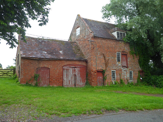
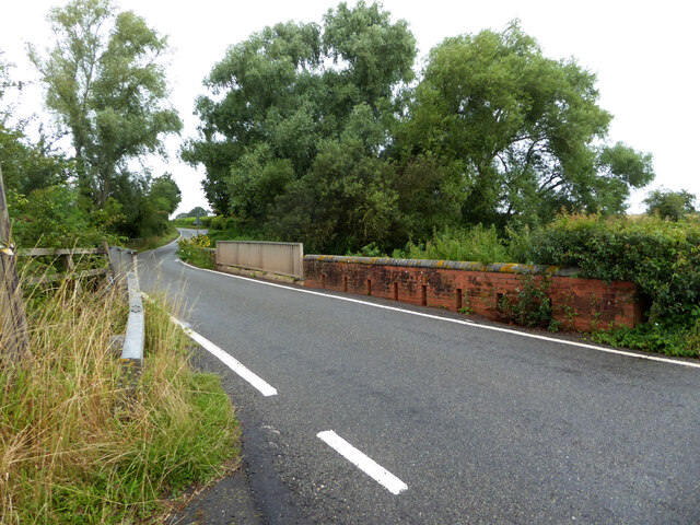
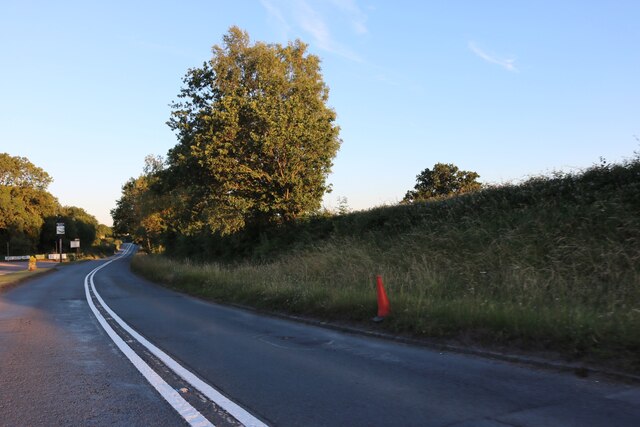
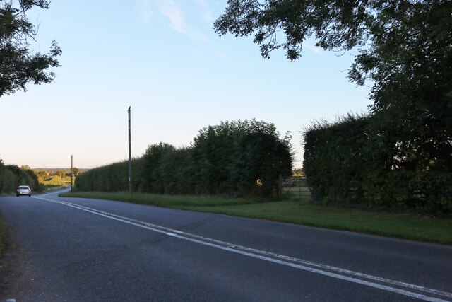
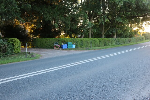
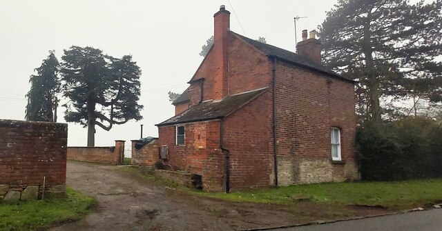
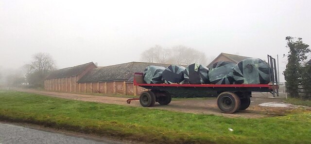
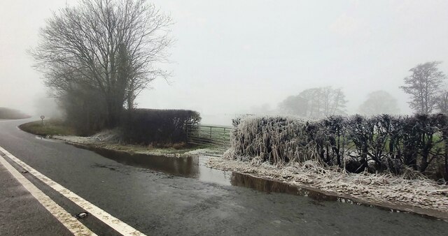
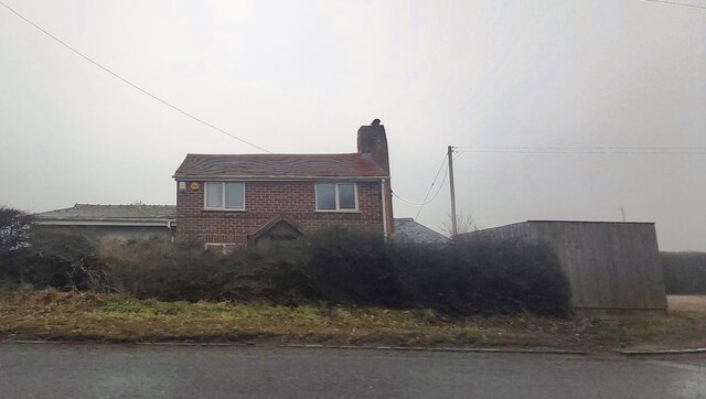
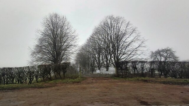
Grinnell's Hill Images

Images are sourced within 2km of 51.930495/-2.3599514 or Grid Reference SO7525. Thanks to Geograph Open Source API. All images are credited.

Upleadon Mill A disused watermill that still retains some machinery and has a wheel thought to be a Poncelet design. Unfortunately the wheel is so overgrown that it is barely visible. It might be clearer in the winter.
Upleadon Mill
A disused watermill that still retains some machinery and has a wheel thought to be a Poncelet design. Unfortunately the wheel is so overgrown that it is barely visible. It might be clearer in the winter.
Road over the River Leadon Upleadon Mill is hidden behind the trees to the right of the road.
Road over the River Leadon
Upleadon Mill is hidden behind the trees to the right of the road.
St Mary the Virgin Church, Upleadon
Upleadon Court
Upleadon Court
The B4215, Malswick
The B4215, Malswick
The B4215 before Highleadon
Aylescroft Farm House
Rymes Place Farm
Rymes Place Farm
Frozen Hedge at Malswick Mill
House near Malswick
House near Malswick
Entrance gates of Solar Farm
Trunk of a Dead Tree in a Field by the B4215
Upleadon - Church of St Mary
Stream Lane Stream Lane leading towards Okle Green and Highleadon.
Stream Lane
Stream Lane leading towards Okle Green and Highleadon.
B4215 at Malswick Looking north towards Newent with the house named on OS mapping as Spring Bank on the right.
B4215 at Malswick
Looking north towards Newent with the house named on OS mapping as Spring Bank on the right.
B4215 at Malswick Looking south-east towards Gloucester.
B4215 at Malswick
Looking south-east towards Gloucester.
Track to Moat Farm Free-range eggs are currently (March 2011) 1.70/dozen.
May Hill can be seen in the sunny distance.
Track to Moat Farm
Free-range eggs are currently (March 2011) 1.70/dozen. May Hill can be seen in the sunny distance.
Show me another place!

Grinnell's Hill is located at Grid Ref: SO7525 (Lat: 51.930495, Lng: -2.3599514)

Administrative County: Gloucestershire

District: Forest of Dean

Police Authority: Gloucestershire

What 3 Words

///persuade.haystack.squabbles. Near Newent, Gloucestershire

Nearby Locations

Grinnell's Hill Okle Green

Related Wikis

Upleadon

Upleadon is a village and civil parish situated 10.5 km north-west of Gloucester. Soon after the Norman conquest Upleadon became part of the estates of...

Okle Green

Okle Green is a village in Gloucestershire, England.

Malswick Halt railway station

Malswick Halt was a request stop on the former Ledbury and Gloucester Railway. It opened on 1st February 1938 and was closed in 1959 when the line was...

Newent Town F.C.

Newent Town Association Football Club is a football club based in Newent, Gloucestershire, England. They were established in 1920. Affiliated to the Gloucestershire...

Nearby Amenities

Located within 500m of 51.930495,-2.3599514
Power: pole
Lat/Long: 51.932946/-2.3656829
Power: pole
Lat/Long: 51.9323333/-2.365188
Power: pole
Lat/Long: 51.930457/-2.3667383
Okle Green
Power: pole
Transformer: distribution
Voltage Primary: 11000
Lat/Long: 51.9307274/-2.3647843
Power: pole
Lat/Long: 51.9309428/-2.3655702
Power: pole
Lat/Long: 51.9311545/-2.3650713
Power: pole
Lat/Long: 51.9317734/-2.3647374
Power: pole
Lat/Long: 51.9311131/-2.3642284
Power: pole
Lat/Long: 51.9306972/-2.3632018
Power: pole
Lat/Long: 51.9303056/-2.362247
Power: pole
Lat/Long: 51.9298487/-2.36116
Power: pole
Lat/Long: 51.929561/-2.3604774
Power: pole
Lat/Long: 51.9291756/-2.3595487
Golden Valley West
Power: pole
Transformer: distribution
Voltage Primary: 11000
Lat/Long: 51.9279033/-2.3592684
Power: pole
Lat/Long: 51.9282026/-2.3590578
Power: pole
Lat/Long: 51.9287981/-2.3586441
Power: pole
Lat/Long: 51.9284201/-2.3577476
Power: pole
Lat/Long: 51.9283494/-2.3563387
Okle Green Sewage Pump
Power: pole
Transformer: distribution
Voltage Primary: 11000
Lat/Long: 51.9282796/-2.3548997
Power: pole
Lat/Long: 51.928237/-2.3541212
The data included in this document is from www.openstreetmap.org. The data is made available under ODbL.

Have you been to Grinnell's Hill?

Leave your review of Grinnell's Hill below (or comments, questions and feedback).