Great Hallingbury
Civil Parish in Essex Uttlesford
England
Great Hallingbury
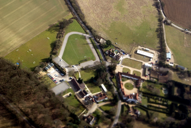
Great Hallingbury is a civil parish located in the district of Uttlesford, in the county of Essex, England. Situated approximately 4 miles northeast of the town of Bishop's Stortford and 2 miles south of Stansted Mountfitchet, Great Hallingbury covers an area of about 19 square kilometers.
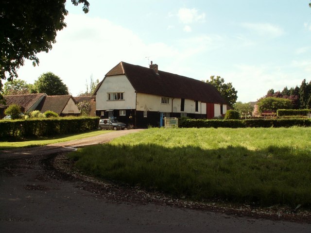
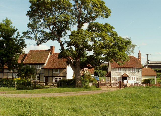
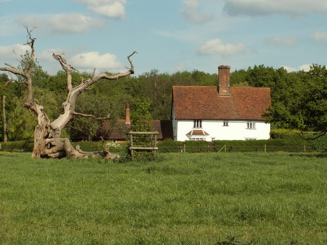
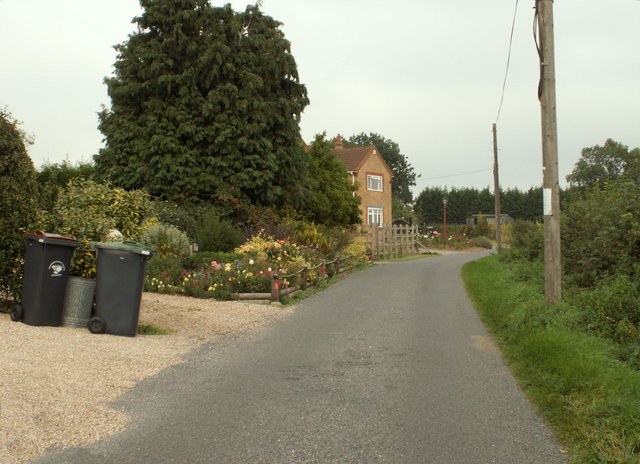
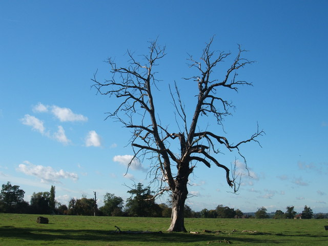
The parish is primarily rural, characterized by its picturesque countryside and charming landscapes. It is home to a population of around 1,500 residents, residing in a mix of traditional and modern homes. The village itself has a small but vibrant community, with a range of amenities and facilities to cater to the needs of its inhabitants.
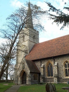
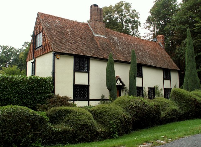
One of the notable landmarks in Great Hallingbury is the Church of St. Giles, a beautiful Grade II listed building dating back to the 12th century. The church is known for its striking architecture and historical significance, attracting visitors from both near and far.
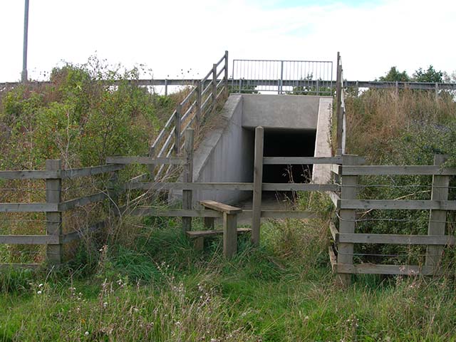
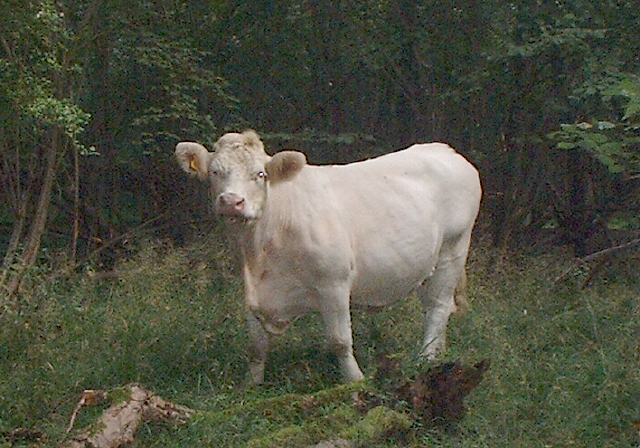
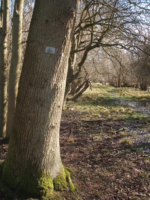
The parish also boasts stunning natural surroundings, including woodland areas, fields, and a number of lakes. It offers ample opportunities for outdoor activities such as walking, cycling, and birdwatching. The nearby Hallingbury Marina provides an idyllic setting for boating and fishing enthusiasts.
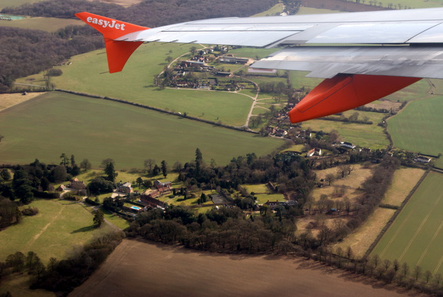
Great Hallingbury benefits from its close proximity to Stansted Airport, which contributes to the local economy and makes it an appealing location for commuters. The village is well-connected to nearby towns and cities through a network of roads and public transportation.
In summary, Great Hallingbury is a charming and peaceful civil parish in Essex, offering a rural lifestyle with easy access to urban amenities and transport links.
If you have any feedback on the listing, please let us know in the comments section below.
Great Hallingbury Images
Images are sourced within 2km of 51.853843/0.199029 or Grid Reference TL5119. Thanks to Geograph Open Source API. All images are credited.


Great Hallingbury is located at Grid Ref: TL5119 (Lat: 51.853843, Lng: 0.199029)
Administrative County: Essex
District: Uttlesford
Police Authority: Essex
What 3 Words
///island.suffer.vows. Near Little Hallingbury, Essex
Related Wikis

Bedlar's Green
Bedlar's Green is a hamlet in the Uttlesford district of Essex, England adjacent to the village of Great Hallingbury.

Korean Air Cargo Flight 8509
Korean Air Cargo Flight 8509 was a Boeing 747-2B5F, registered HL7451 bound for Milan Malpensa Airport, that crashed due to instrument malfunction and...

Rushy Mead
Rushy Mead is a 4.6-hectare (11-acre) nature reserve on the bank of the River Stort in Essex, between Sawbridgeworth and Bishop's Stortford. Until the...

Portingbury Hills
Portingbury Hills (grid reference TL5320) or Portingbury Rings is a hill in Hatfield Forest, Hatfield Broad Oak, Essex, United Kingdom. == Artefacts... ==
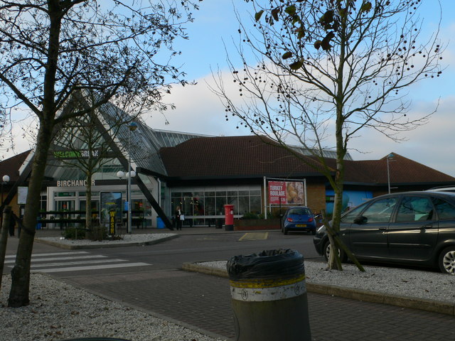
Birchanger Green services
Birchanger Green services is a motorway service station on the M11 motorway at Birchanger near Stansted in Essex, England. It is owned by Welcome Break...
Start Hill, Essex
Start Hill is a hamlet on the B1256 road, in the Great Hallingbury civil parish, Uttlesford District, in the English county of Essex. It is near the town...

Hatfield Forest
Hatfield Forest is a 403.2-hectare (996-acre) biological Site of Special Scientific Interest in Essex, three miles east of Bishop's Stortford. It is also...

Herts and Essex Hospital
The Herts and Essex Hospital, more formally known as The Herts and Essex Community Hospital, is a community hospital in Bishop's Stortford, Hertfordshire...
Nearby Amenities
Located within 500m of 51.853843,0.199029Have you been to Great Hallingbury?
Leave your review of Great Hallingbury below (or comments, questions and feedback).