Great Hallingbury
Settlement in Essex Uttlesford
England
Great Hallingbury
Great Hallingbury is a charming village located in the county of Essex, in the southeastern region of England. Situated near the border with Hertfordshire, the village is part of the Uttlesford district. With a population of around 1,500 residents, it offers a peaceful and idyllic setting.
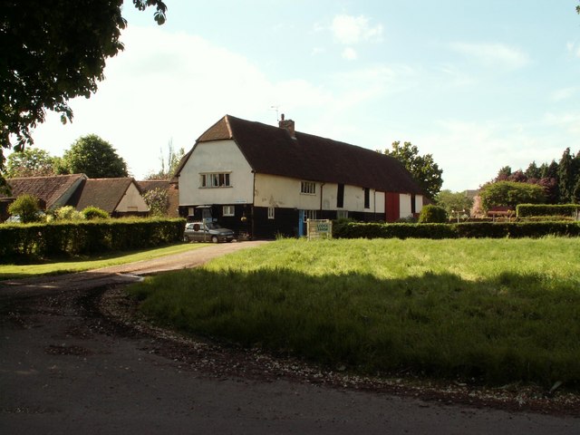
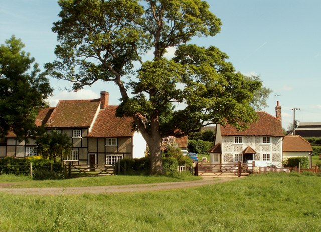
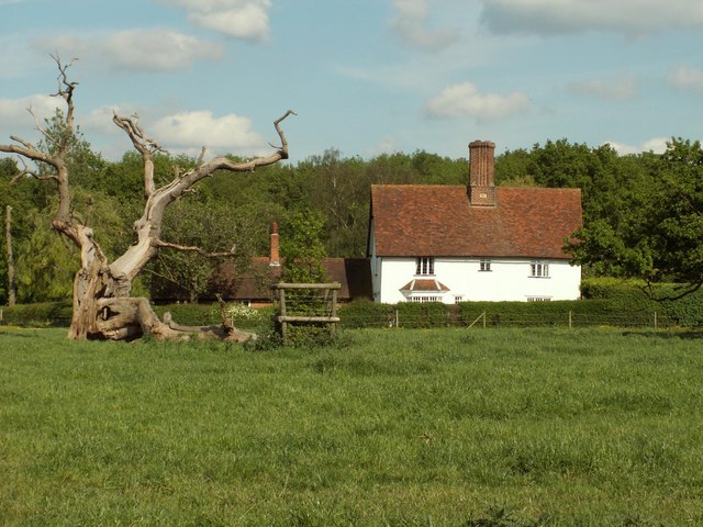
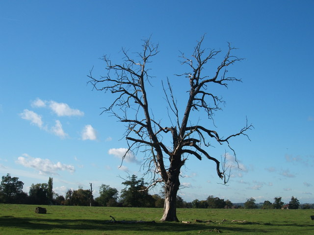
The village of Great Hallingbury is known for its picturesque countryside, dotted with beautiful rolling hills and fields. It is surrounded by stunning natural landscapes, including the nearby Hatfield Forest, a vast ancient woodland maintained by the National Trust.
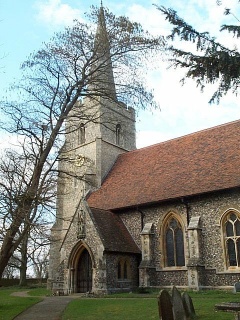
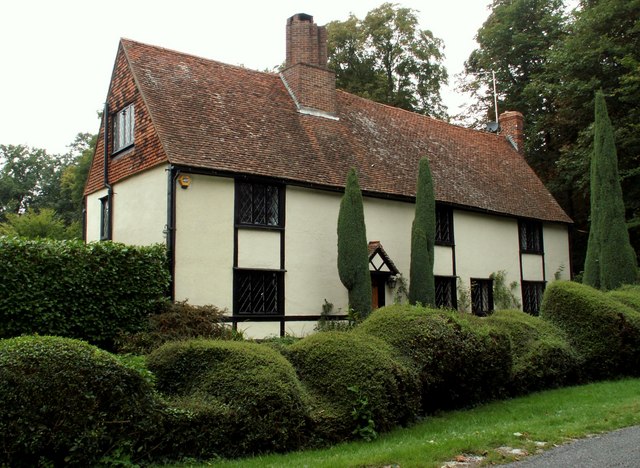
The village itself is steeped in history, with evidence of settlements dating back to Roman times. It is home to several historical landmarks, such as the St. Giles Church, a Grade I listed building that dates back to the 13th century and features stunning medieval architecture.
In terms of amenities, Great Hallingbury offers a range of services to cater to its residents' needs. These include a village hall, a primary school, and a local pub, providing a sense of community and social gathering spaces.
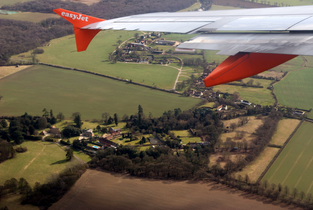
The village benefits from its proximity to Stansted Airport, which is just a short drive away. This makes Great Hallingbury an attractive location for those who work at or frequently travel through the airport, while still enjoying the tranquility of village life.
Overall, Great Hallingbury is a delightful village that seamlessly blends its rich history with the beauty of the surrounding countryside, creating a unique and desirable place to live.
If you have any feedback on the listing, please let us know in the comments section below.
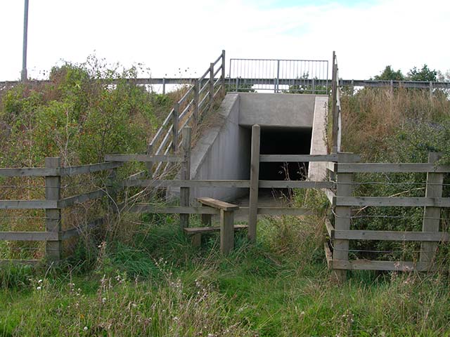
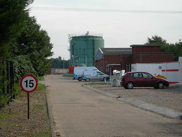
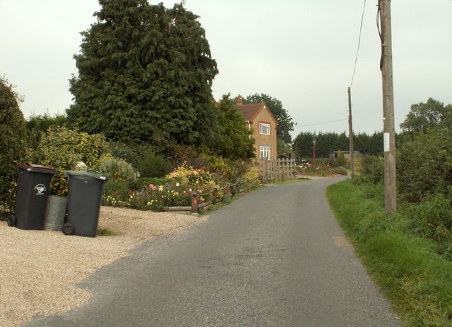
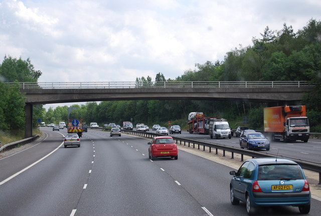
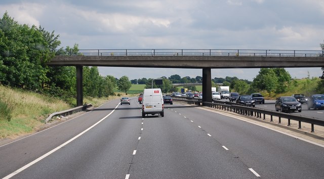
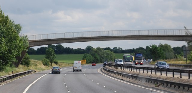
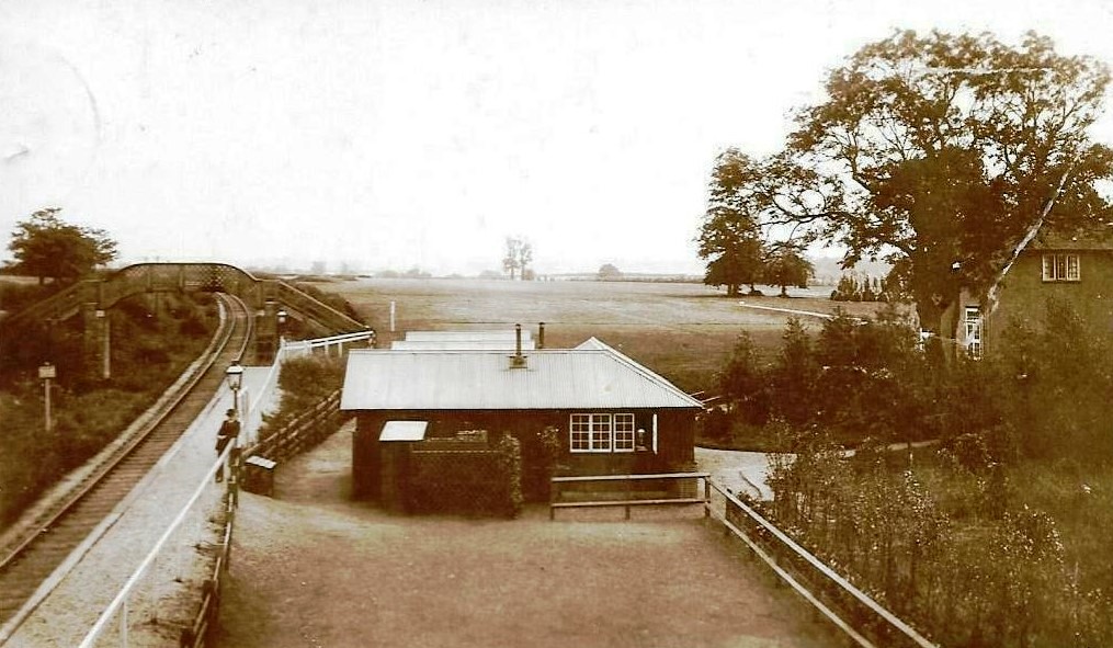
Great Hallingbury Images
Images are sourced within 2km of 51.855354/0.194673 or Grid Reference TL5119. Thanks to Geograph Open Source API. All images are credited.


Great Hallingbury is located at Grid Ref: TL5119 (Lat: 51.855354, Lng: 0.194673)
Administrative County: Essex
District: Uttlesford
Police Authority: Essex
What 3 Words
///edit.data.twice. Near Little Hallingbury, Essex
Related Wikis

Bedlar's Green
Bedlar's Green is a hamlet in the Uttlesford district of Essex, England adjacent to the village of Great Hallingbury.

Korean Air Cargo Flight 8509
Korean Air Cargo Flight 8509 was a Boeing 747-2B5F, registered HL7451 bound for Milan Malpensa Airport, that crashed due to instrument malfunction and...

Rushy Mead
Rushy Mead is a 4.6-hectare (11-acre) nature reserve on the bank of the River Stort in Essex, between Sawbridgeworth and Bishop's Stortford. Until the...
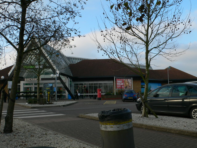
Birchanger Green services
Birchanger Green services is a motorway service station on the M11 motorway at Birchanger near Stansted in Essex, England. It is owned by Welcome Break...

Herts and Essex Hospital
The Herts and Essex Hospital, more formally known as The Herts and Essex Community Hospital, is a community hospital in Bishop's Stortford, Hertfordshire...
Hockerill Halt railway station
Hockerill Halt railway station was a station serving the Hockerill area of Bishop's Stortford in East Hertfordshire in England. The station was 1 mile...
Start Hill, Essex
Start Hill is a hamlet on the B1256 road, in the Great Hallingbury civil parish, Uttlesford District, in the English county of Essex. It is near the town...
Bishop's Stortford F.C.
Bishop's Stortford Football Club is a football club based in Bishop's Stortford, Hertfordshire, England. They are currently members of the National League...
Nearby Amenities
Located within 500m of 51.855354,0.194673Have you been to Great Hallingbury?
Leave your review of Great Hallingbury below (or comments, questions and feedback).