Great Hale
Civil Parish in Lincolnshire North Kesteven
England
Great Hale
The requested URL returned error: 429 Too Many Requests
If you have any feedback on the listing, please let us know in the comments section below.
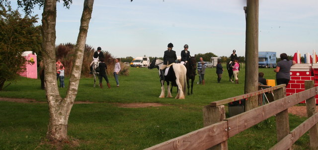
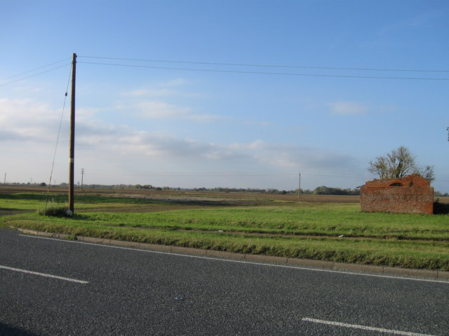
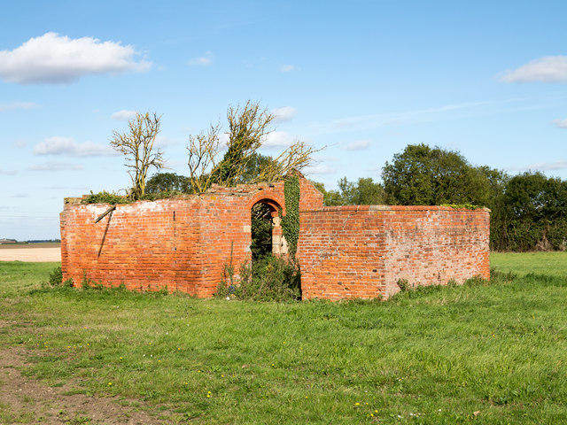
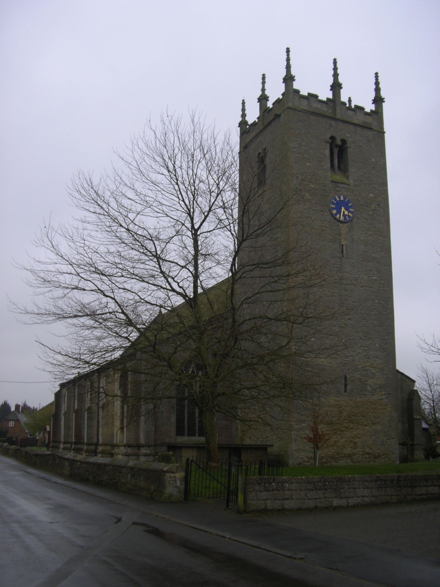
Great Hale Images
Images are sourced within 2km of 52.9694/-0.252472 or Grid Reference TF1742. Thanks to Geograph Open Source API. All images are credited.


Great Hale is located at Grid Ref: TF1742 (Lat: 52.9694, Lng: -0.252472)
Administrative County: Lincolnshire
District: North Kesteven
Police Authority: Lincolnshire
What 3 Words
///employ.repeat.elevator. Near Heckington, Lincolnshire
Nearby Locations
Related Wikis
Great Hale
Great Hale is a village and civil parish in the North Kesteven district of Lincolnshire, England. The population of the civil parish at the 2011 census...
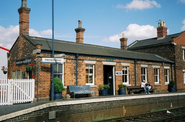
Heckington railway station
Heckington railway station is located in the village of Heckington in Lincolnshire, England. The old station building houses the Heckington Station Railway...
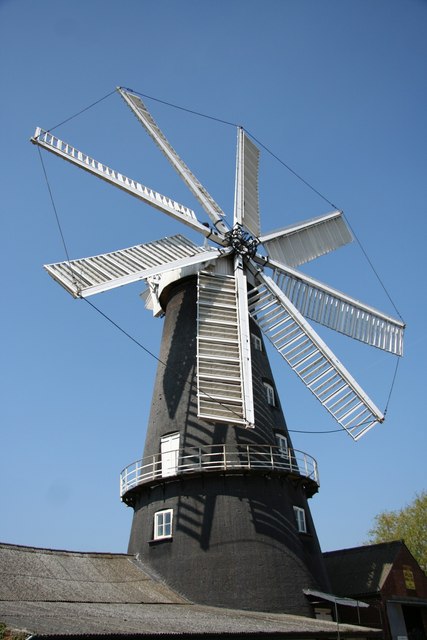
Heckington Windmill
Heckington Windmill is the only eight-sailed tower windmill still standing in the United Kingdom with its sails intact. Heckington is located between Sleaford...

Little Hale
Little Hale is a hamlet and civil parish in the North Kesteven district of Lincolnshire, England. It is situated 5 miles (8 km) south-east from the town...
Nearby Amenities
Located within 500m of 52.9694,-0.252472Have you been to Great Hale?
Leave your review of Great Hale below (or comments, questions and feedback).