Great and Little Preston

Civil Parish in Yorkshire Leeds

England

Great and Little Preston

Billy Woods rock formation, Kippax
Billy Woods rock formation, Kippax Credit: derek dye

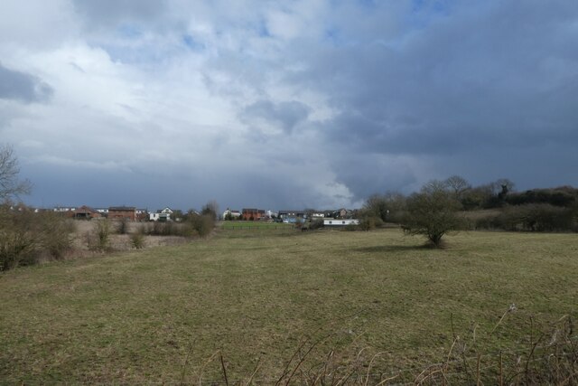
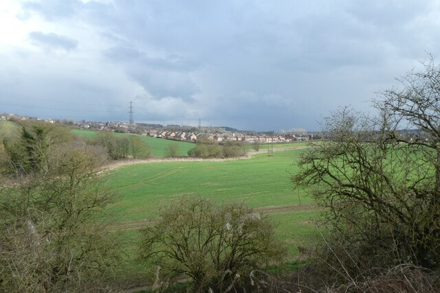
Great and Little Preston is a civil parish located in the county of Yorkshire, in northern England. It is situated approximately 8 miles east of the city of Leeds and falls within the administrative district of Leeds. The parish is made up of two distinct villages, Great Preston and Little Preston, which are located next to each other.

Great Preston is the larger of the two villages and has a population of around 1,500 residents. It is a predominantly residential area with a mix of housing styles, ranging from traditional stone cottages to more modern developments. The village also has a number of amenities, including a primary school, a village hall, and a local pub.

Little Preston is a smaller village with a population of around 500 residents. It is also primarily a residential area, with a mix of housing styles similar to Great Preston. The village has a more rural feel, with open fields and countryside surrounding it. There are limited amenities in Little Preston, but residents have easy access to the facilities in Great Preston.

Both villages benefit from their close proximity to Leeds, which offers a wide range of employment, educational, and recreational opportunities. The area is well-connected by road, with the A1(M) motorway and the M1 motorway both within a short drive. Public transportation is also available, with regular bus services connecting the villages to Leeds and other nearby towns.

Overall, Great and Little Preston offer a peaceful and picturesque setting, with a strong sense of community and easy access to the amenities of larger towns and cities.

If you have any feedback on the listing, please let us know in the comments section below.

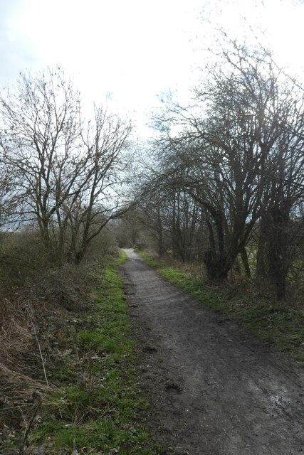
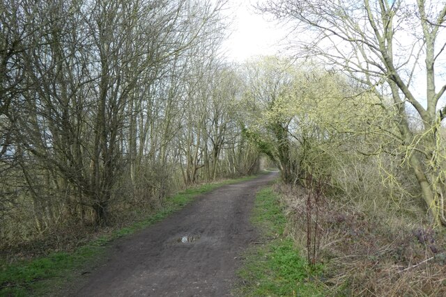
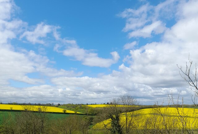
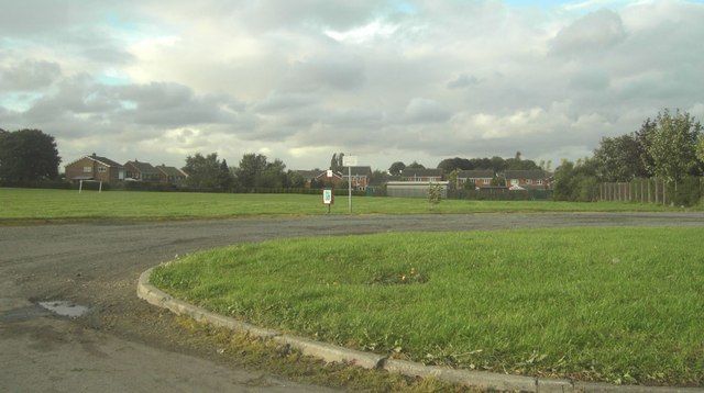
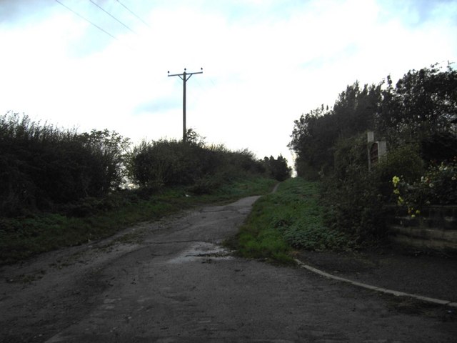
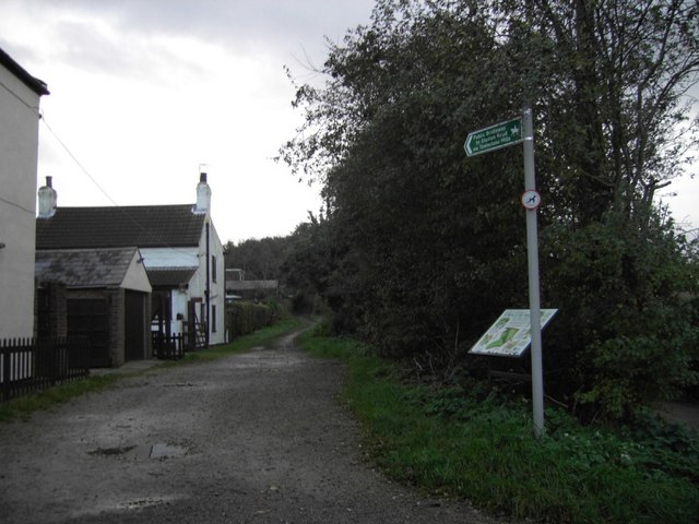
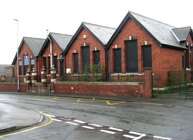
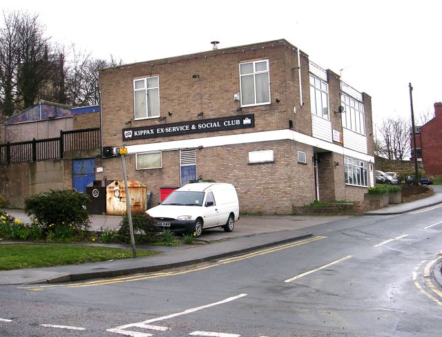
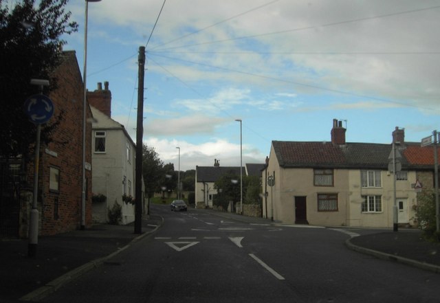
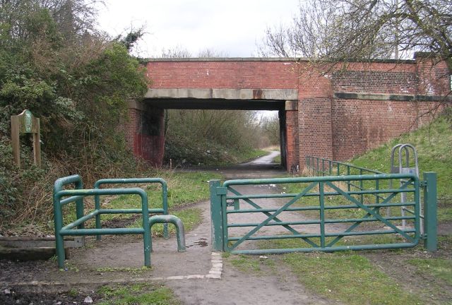
Great and Little Preston Images

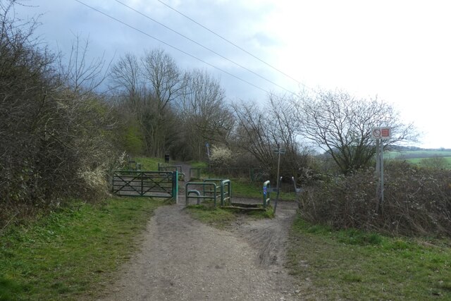
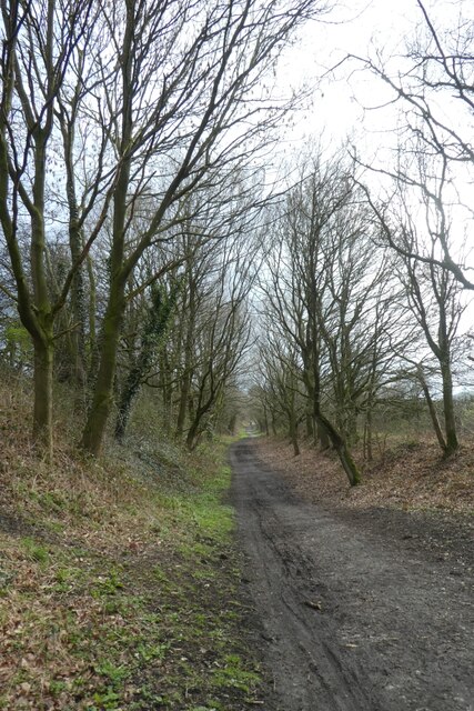
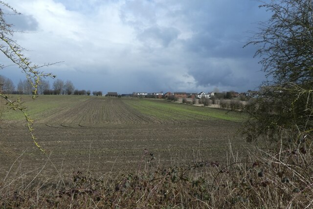
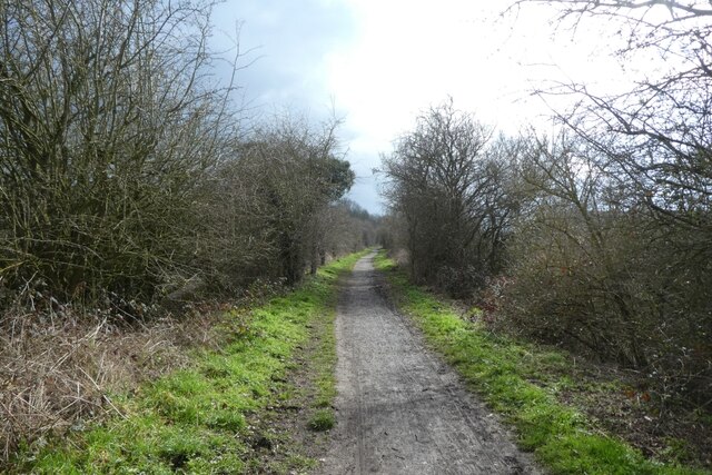
Images are sourced within 2km of 53.760608/-1.397724 or Grid Reference SE3929. Thanks to Geograph Open Source API. All images are credited.

Billy Woods rock formation, Kippax
Crossing Brecks Lane The Lines Way is a cycle path from Garforth to Allerton Bywater along the former railway line. It is designated as part of National Cycle Network route 697.
Crossing Brecks Lane
The Lines Way is a cycle path from Garforth to Allerton Bywater along the former railway line. It is designated as part of National Cycle Network route 697.
The Lines Way near Sparrowhall Farm The Lines Way is a cycle path from Garforth to Allerton Bywater along the former railway line. It is designated as part of National Cycle Network route 697.
The Lines Way near Sparrowhall Farm
The Lines Way is a cycle path from Garforth to Allerton Bywater along the former railway line. It is designated as part of National Cycle Network route 697.
Fields near Kippax Looking towards Kippax from the Lines Way path along the former railway line.
Fields near Kippax
Looking towards Kippax from the Lines Way path along the former railway line.
Lines Way to the west of Kippax The Lines Way is a cycle path from Garforth to Allerton Bywater along the former railway line. It is designated as part of National Cycle Network route 697.
Lines Way to the west of Kippax
The Lines Way is a cycle path from Garforth to Allerton Bywater along the former railway line. It is designated as part of National Cycle Network route 697.
Field near Kippax Looking towards Kippax from The Lines Way, a path along the old railway line.
Field near Kippax
Looking towards Kippax from The Lines Way, a path along the old railway line.
Cycle path to Allerton Bywater The Lines Way is a cycle path from Garforth to Allerton Bywater along the former railway line. It is designated as part of National Cycle Network route 697.
Cycle path to Allerton Bywater
The Lines Way is a cycle path from Garforth to Allerton Bywater along the former railway line. It is designated as part of National Cycle Network route 697.
Pond beside The Lines Way The Lines Way is a cycle path from Garforth to Allerton Bywater along the former railway line. It is designated as part of National Cycle Network route 697.
Pond beside The Lines Way
The Lines Way is a cycle path from Garforth to Allerton Bywater along the former railway line. It is designated as part of National Cycle Network route 697.
Above Townclose Wood Looking towards Kippax from The Lines Way.
Above Townclose Wood
Looking towards Kippax from The Lines Way.
Cycle path from Garforth The Lines Way is a cycle path from Garforth to Allerton Bywater along the former railway line. It is designated as part of National Cycle Network route 697.
Cycle path from Garforth
The Lines Way is a cycle path from Garforth to Allerton Bywater along the former railway line. It is designated as part of National Cycle Network route 697.
Cycle path to Garforth The Lines Way is a cycle path from Garforth to Allerton Bywater along the former railway line. It is designated as part of National Cycle Network route 697.
Cycle path to Garforth
The Lines Way is a cycle path from Garforth to Allerton Bywater along the former railway line. It is designated as part of National Cycle Network route 697.
Fields seen from Townclose Hills
Kippax, St Mary's Church
Kippax Common Playing field on Kippax Common.
Kippax Common
Playing field on Kippax Common.
Green Lane Bridleway Green Lane (Track or Bridleway) on the West side of Kippax leading to Brecks Lane.
Green Lane Bridleway
Green Lane (Track or Bridleway) on the West side of Kippax leading to Brecks Lane.
Green Lane Bridleway Green Lane (Track) on the West side of Kippax. Looking South towards Townclose Hills and Wood, leading to Station Road.
Green Lane Bridleway
Green Lane (Track) on the West side of Kippax. Looking South towards Townclose Hills and Wood, leading to Station Road.
Ash Tree Primary School - Leeds Road, Kippax
Kippax Ex-Service & Social Club - Leeds Road, Kippax
Show me another place!

Great and Little Preston is located at Grid Ref: SE3929 (Lat: 53.760608, Lng: -1.397724)

Division: West Riding

Administrative County: West Yorkshire

District: Leeds

Police Authority: West Yorkshire

What 3 Words

///thigh.ivory.doses. Near Swillington, West Yorkshire

Related Wikis

Great and Little Preston

Great and Little Preston is a civil parish in the City of Leeds metropolitan borough, West Yorkshire, England. In 2001 census it had a population of 1...

Great Preston

Great Preston is a small rural village in the City of Leeds metropolitan borough, West Yorkshire, England. It has incorporated the once neighbouring hamlet...

Kippax railway station

Kippax railway station was a railway station on the Castleford–Garforth line in West Yorkshire, England. The station opened in 1878 and closed to passengers...

Brigshaw High School

Brigshaw High School is a coeducational secondary school and sixth form located in the village of Allerton Bywater, West Yorkshire, England. == History... ==

St Aidan's

St Aidan's is a 355 hectare (877 acres) nature park located between Leeds and Castleford in West Yorkshire, England. The land was formerly an opencast...

Bowers railway station

Bowers railway station was a station opened in 1934 by the London and North Eastern Railway (LNER) on the Castleford–Garforth line, in the West Riding...

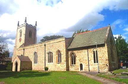
St Mary's Church, Swillington

St Mary's Church is located on Church Lane next to Swillington Primary School, on Wakefield Road, Swillington, West Yorkshire, England. There has been...

Swillington

Swillington is a village and civil parish near Leeds, West Yorkshire, England, in the City of Leeds metropolitan borough. It is situated 5 miles (8 km...

Nearby Amenities

Located within 500m of 53.760608,-1.397724
Great Preston
Is In: West Yorkshire, England, UK
Place: village
Source: npe
Wikidata: Q15222071
Wikipedia: en:Great Preston
Lat/Long: 53.761192/-1.3915596
Traffic Calming: cushion
Lat/Long: 53.7637354/-1.3961985
Traffic Calming: cushion
Lat/Long: 53.7631227/-1.3951229
Traffic Calming: cushion
Lat/Long: 53.7623057/-1.3931801
Traffic Calming: cushion
Lat/Long: 53.7608472/-1.391502
Traffic Calming: cushion
Lat/Long: 53.7610084/-1.3904174
Mini Roundabout
Direction: clockwise
Lat/Long: 53.7608079/-1.3919903
Bus Stop
Whitehouse Lane Whitehouse Crescent
Bus: yes
Local Ref: 45010144
Naptan AtcoCode: 450010144
Naptan Bearing: NW
Naptan CommonName: Whitehouse Lane Whitehouse Crescent
Naptan Crossing: Whitehouse Crescent
Naptan Indicator: Stop 45010144
Naptan PlusbusZoneRef: LEEDS
Naptan ShortCommonName: Whitehouse Crescent
Naptan Street: Whitehouse Lane
Naptan Verified: no
Public Transport: platform
Source: naptan_import
Lat/Long: 53.7630166/-1.3948817
Bus Stop
Preston Lane Berry Lane
Bus: yes
Local Ref: 45010145
Naptan AtcoCode: 450010145
Naptan Bearing: N
Naptan CommonName: Preston Lane Berry Lane
Naptan Crossing: Berry Lane
Naptan Indicator: Stop 45010145
Naptan Landmark: Low Farm Cottage
Naptan Notes: Shelter in RTA removed 16/04/2009 to be replaced
Naptan PlusbusZoneRef: LEEDS
Naptan ShortCommonName: Berry Lane
Naptan Street: Preston Lane
Naptan Verified: no
Network: Metro West Yorkshire
Network Wikidata: Q7987043
Public Transport: platform
Source: naptan_import
Lat/Long: 53.7605484/-1.3920502
Bus Stop
Great Preston Corner
Bus: yes
Local Ref: 45010161
Naptan AtcoCode: 450010161
Naptan Bearing: W
Naptan CommonName: Great Preston Corner
Naptan Crossing: Preston Lane
Naptan Indicator: Stop 45010161
Naptan Landmark: The New Inn
Naptan PlusbusZoneRef: LEEDS
Naptan ShortCommonName: Preston Lane
Naptan Street: Berry Lane
Naptan Verified: no
Network: Metro West Yorkshire
Network Wikidata: Q7987043
Public Transport: platform
Source: naptan_import
Lat/Long: 53.7609108/-1.3908466
Bus Stop
Whitehouse Lane Whitehouse Avenue
Bus: yes
Local Ref: 45012879
Naptan AtcoCode: 450012879
Naptan Bearing: SE
Naptan CommonName: Whitehouse Lane Whitehouse Avenue
Naptan Crossing: Whitehouse Avenue
Naptan Indicator: Stop 45012879
Naptan PlusbusZoneRef: LEEDS
Naptan ShortCommonName: Whitehouse Avenue
Naptan Street: Whitehouse Lane
Naptan Verified: no
Public Transport: platform
Source: naptan_import
Lat/Long: 53.7641489/-1.3966251
Bus Stop
Preston Lane Wood Lane
Bus: yes
Local Ref: 45012880
Naptan AtcoCode: 450012880
Naptan Bearing: N
Naptan CommonName: Preston Lane Wood Lane
Naptan Crossing: Wood Lane
Naptan Indicator: Stop 45012880
Naptan Landmark: Village Hall
Naptan PlusbusZoneRef: LEEDS
Naptan ShortCommonName: Wood Lane
Naptan Street: Preston Lane
Naptan Verified: no
Network: Metro West Yorkshire
Network Wikidata: Q7987043
Public Transport: platform
Source: naptan_import
Lat/Long: 53.7591544/-1.3919035
Bus Stop
Preston Lane Wood Lane
Bus: yes
Local Ref: 45012881
Naptan AtcoCode: 450012881
Naptan Bearing: SE
Naptan CommonName: Preston Lane Wood Lane
Naptan Crossing: Wood Lane
Naptan Indicator: Stop 45012881
Naptan Landmark: War Memorial
Naptan PlusbusZoneRef: LEEDS
Naptan ShortCommonName: Wood Lane
Naptan Street: Preston Lane
Naptan Verified: no
Network: Metro West Yorkshire
Network Wikidata: Q7987043
Public Transport: platform
Source: naptan_import
Lat/Long: 53.7590785/-1.3917022
Bus Stop
Great Preston Corner
Local Ref: 45012887
Naptan AtcoCode: 450012887
Naptan Bearing: S
Naptan CommonName: Great Preston Corner
Naptan Crossing: Berry Lane
Naptan Indicator: Stop 45012887
Naptan PlusbusZoneRef: LEEDS
Naptan ShortCommonName: Berry Lane
Naptan Street: Whitehouse Lane
Naptan Verified: no
Source: naptan_import
Lat/Long: 53.7611414/-1.3920113
Bus Stop
Great Preston Corner
Bus: yes
Local Ref: 45012888
Naptan AtcoCode: 450012888
Naptan Bearing: E
Naptan CommonName: Great Preston Corner
Naptan Crossing: Whitehouse Lane
Naptan Indicator: Stop 45012888
Naptan PlusbusZoneRef: LEEDS
Naptan ShortCommonName: Whitehouse Lane
Naptan Street: Berry Lane
Naptan Verified: no
Network: Metro West Yorkshire
Network Wikidata: Q7987043
Public Transport: platform
Source: naptan_import
Lat/Long: 53.760913/-1.3912713
Whitehouse Lane Whitehouse Avenue
Local Ref: 45050080
Naptan AtcoCode: 450050080
Naptan Bearing: SW
Naptan BusStopType: CUS
Naptan CommonName: Whitehouse Lane Whitehouse Avenue
Naptan Indicator: Stop 45050080
Naptan PlusbusZoneRef: LEEDS
Naptan ShortCommonName: Whitehouse Avenue
Naptan Street: Whitehouse Lane
Naptan Verified: no
Source: naptan_import
Lat/Long: 53.7640956/-1.3967473
Preston Lane Wood Lane
Bus: yes
Local Ref: 45012881
Public Transport: stop_position
Lat/Long: 53.7591004/-1.3917568
Post Box
Operator: Royal Mail
Post Box Type: lamp
Ref: LS26 196
Lat/Long: 53.7625695/-1.3935223
Waste Basket
Collection Times: Tu
Ref UK Leedscc Bin: 2947
Lat/Long: 53.76136/-1.390243
Waste Basket
Collection Times: Tu
Ref UK Leedscc Bin: 2946
Lat/Long: 53.761288/-1.390211
Noexit: yes
Lat/Long: 53.7605102/-1.3914825
Location Transition: yes
Material: wood
Power: pole
Lat/Long: 53.7642649/-1.3971819
Material: wood
Power: pole
Lat/Long: 53.7637196/-1.3981473
Material: wood
Power: pole
Lat/Long: 53.7632111/-1.3990463
Material: wood
Power: pole
Lat/Long: 53.763183/-1.4007153
Material: wood
Power: pole
Lat/Long: 53.7631627/-1.4024922
Traffic Calming: cushion
Lat/Long: 53.7643354/-1.3969796
Preston Lane Wood Lane
Bus: yes
Local Ref: 45012880
Public Transport: stop_position
Lat/Long: 53.7591967/-1.3917942
Traffic Calming: table
Lat/Long: 53.7595033/-1.3918575
Noexit: yes
Lat/Long: 53.7601413/-1.3943067
Noexit: yes
Lat/Long: 53.7603695/-1.391013
Great Preston Corner
Bus: yes
Local Ref: 45012888
Public Transport: stop_position
Lat/Long: 53.7608852/-1.3911622
Great Preston Corner
Bus: yes
Local Ref: 45010161
Public Transport: stop_position
Lat/Long: 53.7609126/-1.3909495
Preston Lane Berry Lane
Bus: yes
Local Ref: 45010145
Public Transport: stop_position
Lat/Long: 53.7606115/-1.3919769
The data included in this document is from www.openstreetmap.org. The data is made available under ODbL.

Have you been to Great and Little Preston?

Leave your review of Great and Little Preston below (or comments, questions and feedback).