Great and Little Wigborough

Civil Parish in Essex Colchester

England

Great and Little Wigborough

Great Wigborough: Public footpath
Great Wigborough: Public footpath Credit: Michael Garlick

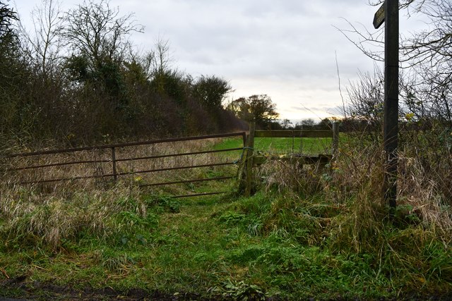
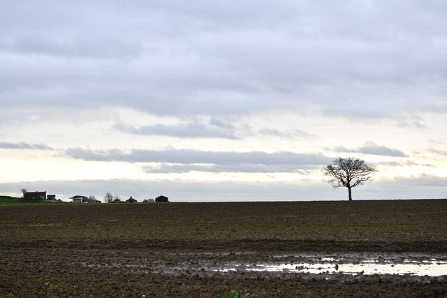
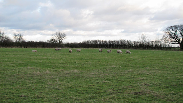
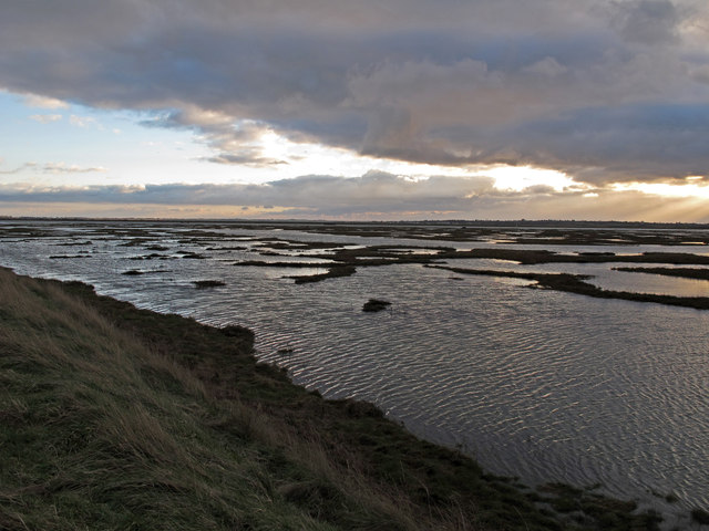
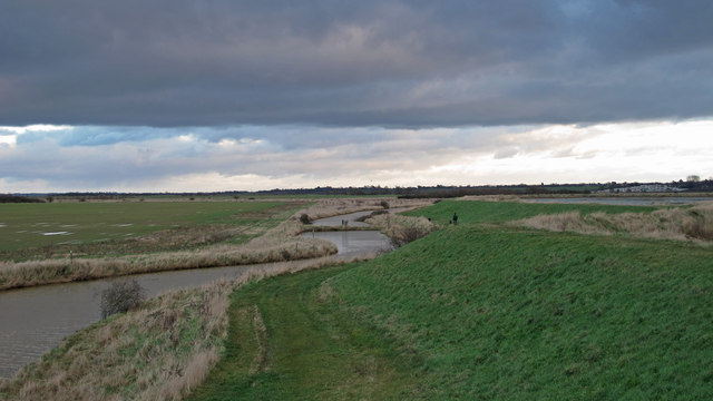
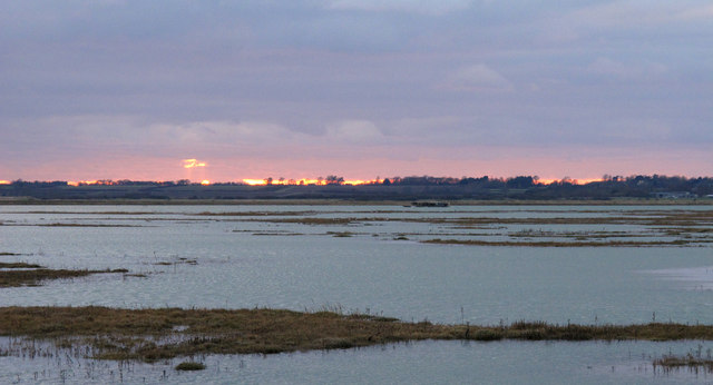
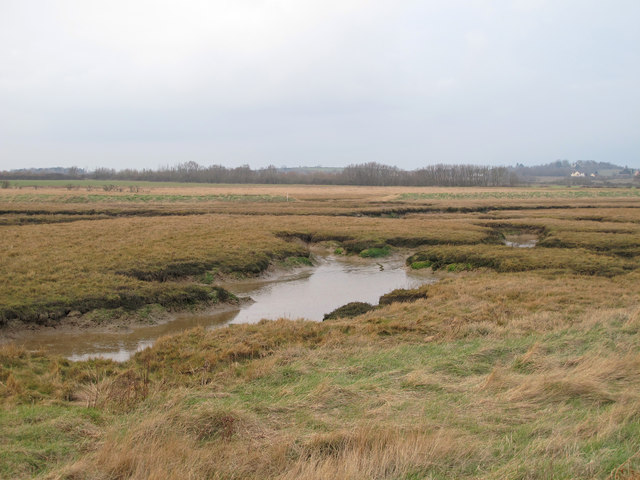
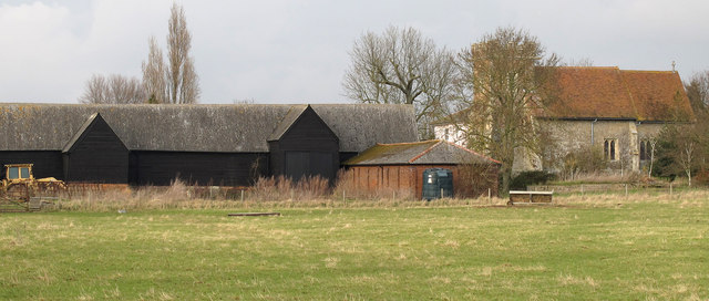
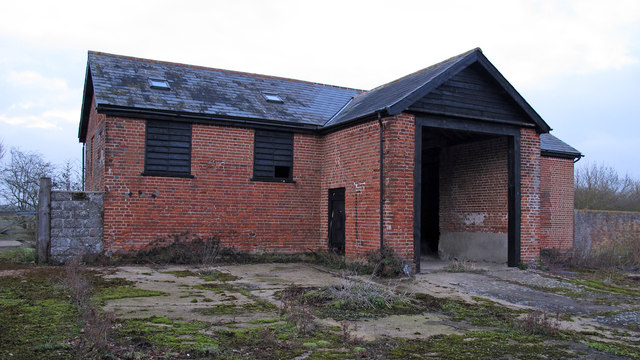
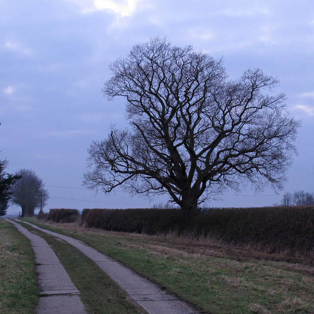
Great and Little Wigborough is a civil parish located in the county of Essex, in the eastern part of England. The parish includes two small villages, Great Wigborough and Little Wigborough, which are situated in the Colchester borough. The area is predominantly rural, characterized by its picturesque farmland, open fields, and scattered country houses.

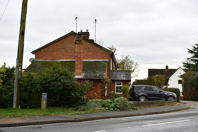
Great Wigborough is the larger of the two villages, with a population of around 300 people. It is located about 6 miles southeast of Colchester, making it easily accessible for commuters. The village is known for its charming thatched cottages, traditional pubs, and quaint village green. It also has a beautiful 12th-century church, St. Stephen's, which is a popular attraction for visitors.

Little Wigborough, on the other hand, is a smaller village with a population of around 70 people. It is located just south of Great Wigborough, nestled amongst the rolling countryside. The village is characterized by its peaceful and idyllic atmosphere, offering a tranquil retreat for residents and visitors alike.

Both villages enjoy a strong sense of community, with various social and recreational activities taking place throughout the year. The surrounding area offers ample opportunities for outdoor pursuits, including walking, cycling, and horse riding, thanks to the vast network of footpaths and bridleways.

In summary, Great and Little Wigborough is a charming civil parish in Essex, boasting two picturesque villages that offer a peaceful and rural lifestyle for its residents.

If you have any feedback on the listing, please let us know in the comments section below.

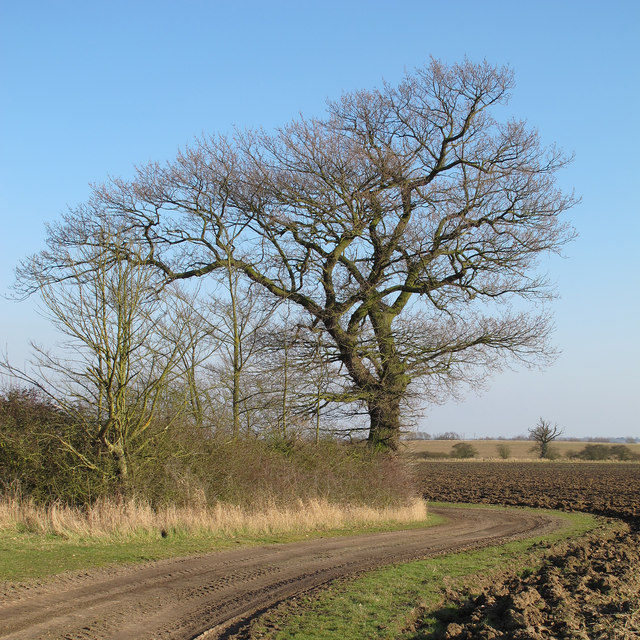
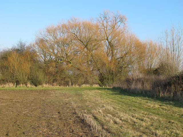
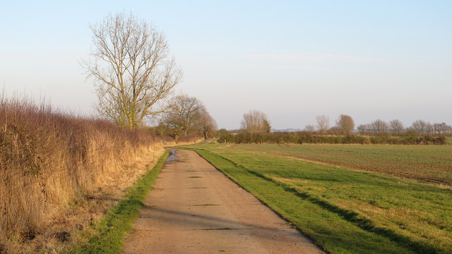
Great and Little Wigborough Images

Images are sourced within 2km of 51.796461/0.857765 or Grid Reference TL9714. Thanks to Geograph Open Source API. All images are credited.

Great Wigborough: Public footpath
Great Wigborough: Boggy field
Great Wigborough: Houses in Peldon Road
Little Wigborough: Ploughed field
Little Wigborough: Wigborough Road
Saltmarsh by Salcott Channel
Breach B This panorama shows part of the largest continuous stretch of salt-marsh in Essex. It was created by Essex Wildlife Trust <span class="nowrap"><a title="http://www.essexwt.org.uk/visitor_centres__nature_reserves/abbotts_hall_farm/" rel="nofollow ugc noopener" href="http://www.essexwt.org.uk/visitor_centres__nature_reserves/abbotts_hall_farm/">Link</a><img style="margin-left:2px;" alt="External link" title="External link - shift click to open in new window" src="https://s1.geograph.org.uk/img/external.png" width="10" height="10"/></span> by cutting five breaches in the existing sea wall in October 2002, thus allowing 200 acres of reclaimed farmland to revert to a more natural state. You can see the scene in 2007 at <a href="https://www.geograph.org.uk/photo/550777">TL9613 : New Saltmarsh</a> "Breach B" is the largest of the gaps.
Breach B
This panorama shows part of the largest continuous stretch of salt-marsh in Essex. It was created by Essex Wildlife Trust LinkExternal link by cutting five breaches in the existing sea wall in October 2002, thus allowing 200 acres of reclaimed farmland to revert to a more natural state. You can see the scene in 2007 at TL9613 : New Saltmarsh "Breach B" is the largest of the gaps.
Field with sheep Sheep at Copt Hall Farm, owned by the National Trust.
Field with sheep
Sheep at Copt Hall Farm, owned by the National Trust.
Abbot's Hall Saltings As seen from the sea wall near the National Trust's Copt Hall Farm. The water is Salcott Channel, part of the Blackwater Estuary.
Abbot's Hall Saltings
As seen from the sea wall near the National Trust's Copt Hall Farm. The water is Salcott Channel, part of the Blackwater Estuary.
Borrow Dyke near Copthall Saltings This borrow dyke is behind the seawall at Copthall Saltings. To the left is the National Trust Copt Hall Marshes.
Borrow Dyke near Copthall Saltings
This borrow dyke is behind the seawall at Copthall Saltings. To the left is the National Trust Copt Hall Marshes.
Sunset over Salcott Channel Taken from the seawall between Copthall Saltings and the National Trust's Copt Hall Marshes.
Sunset over Salcott Channel
Taken from the seawall between Copthall Saltings and the National Trust's Copt Hall Marshes.
Abbot's Hall Saltings Salt marsh seen from the sea wall on the boundary of the National Trust's Copt Hall Marshes.
Abbot's Hall Saltings
Salt marsh seen from the sea wall on the boundary of the National Trust's Copt Hall Marshes.
Farm and Church Copt Hall Farm outbuildings and church of St Nicholas, Little Wigborough.
Farm and Church
Copt Hall Farm outbuildings and church of St Nicholas, Little Wigborough.
Lower Barn: from the south This barn at Copt Hall Farm is named on the map as "Lower Barn", this view from the south.
Lower Barn: from the south
This barn at Copt Hall Farm is named on the map as "Lower Barn", this view from the south.
Winter Oak Silhouetted against the winter sky, this oak is near the track that leads to Lower Barn <a title="https://www.geograph.org.uk/photo/3328130" href="https://www.geograph.org.uk/photo/3328130">Link</a> at the National Trust's Copt Hall Marshes.
Winter Oak
Silhouetted against the winter sky, this oak is near the track that leads to Lower Barn Link at the National Trust's Copt Hall Marshes.
Oak on field boundary, Abbotts Hall Farm Oak near farm track in arable land at Essex Wildlife Trust's Abbotts Hall Farm, Great Wigborough.
Oak on field boundary, Abbotts Hall Farm
Oak near farm track in arable land at Essex Wildlife Trust's Abbotts Hall Farm, Great Wigborough.
Willow on field boundary, Abbotts Hall Farm One of a number of willows near a pond close to marsh barn at Essex Wildlife Trust's Abbotts Hall Farm, Great Wigborough.
Willow on field boundary, Abbotts Hall Farm
One of a number of willows near a pond close to marsh barn at Essex Wildlife Trust's Abbotts Hall Farm, Great Wigborough.
Track along field boundary,  Abbotts Hall Farm One of the main permissive paths near arable land at Essex Wildlife Trust's Abbotts Hall Farm, Great Wigborough.
Track along field boundary, Abbotts Hall Farm
One of the main permissive paths near arable land at Essex Wildlife Trust's Abbotts Hall Farm, Great Wigborough.
Show me another place!

Great and Little Wigborough is located at Grid Ref: TL9714 (Lat: 51.796461, Lng: 0.857765)

Administrative County: Essex

District: Colchester

Police Authority: Essex

What 3 Words

///combines.flukes.cornering. Near Tollesbury, Essex

Related Wikis

Great Wigborough

Great Wigborough is a village and former civil parish, now in the parish of Great and Little Wigborough in the Colchester borough of Essex, England. The...

Great and Little Wigborough

Great and Little Wigborough is a civil parish in the City of Colchester district of Essex, England, about 6 miles (10 km) from Colchester. The parish includes...

Little Wigborough

Little Wigborough is a village and former civil parish, now in the parish of Great and Little Wigborough, in the Colchester borough of Essex, England and...

Abbotts Hall Farm

Abbotts Hall Farm is a 282 hectare nature reserve in Great Wigborough in Essex. It is the head office of the Essex Wildlife Trust, which manages the site...

Virley

Virley is a village and civil parish in the Colchester borough of Essex, England and forms part of the Winstred Hundred grouped parish council. According...

Salcott

Salcott or Salcott cum Virley is a village and civil parish in the Colchester borough of Essex, England, and forms part of the Winstred Hundred grouped...

Peldon

Peldon is a village and civil parish in the Colchester borough of Essex, England. With Salcott, Virley, Great Wigborough and Little Wigborough, it forms...
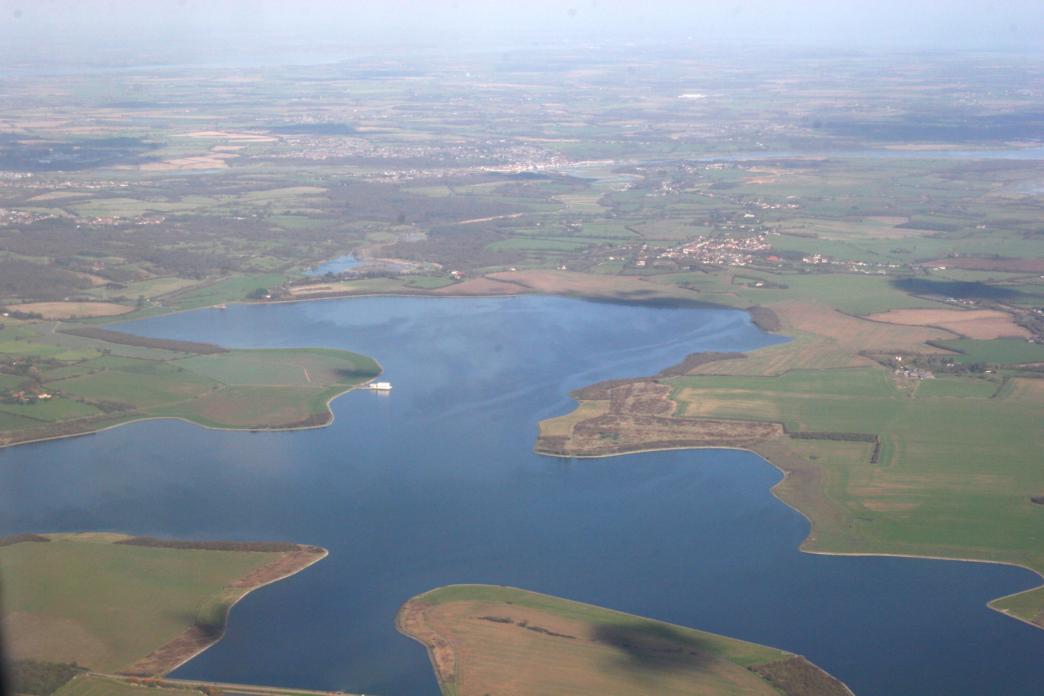
Abberton Reservoir

Abberton Reservoir is a pumped storage freshwater reservoir in eastern England near the Essex coast, with an area of 700 hectares (1,700 acres). Most of...

Nearby Amenities

Located within 500m of 51.796461,0.857765
School Lane South
Naptan AtcoCode: 1500IM262
Naptan Bearing: W
Naptan BusStopType: CUS
Naptan CommonName: Drakes Corner
Naptan Crossing: School Lane South
Naptan Indicator: W-bound
Naptan Landmark: Drakes Corner
Naptan NaptanCode: esxadamt
Naptan Street: Maldon Road
Naptan Verified: no
Public Transport: platform
Source: naptan_import
Lat/Long: 51.7983271/0.8527084
Bus Stop
School Lane South
Naptan AtcoCode: 1500IM262B
Naptan Bearing: E
Naptan BusStopType: CUS
Naptan CommonName: Drakes Corner
Naptan Crossing: School Lane South
Naptan Indicator: E-bound
Naptan Landmark: Drakes Corner
Naptan NaptanCode: esxdajwj
Naptan Street: Maldon Road
Public Transport: platform
Shelter: yes
Source: naptan_import;survey
Lat/Long: 51.7982869/0.8521401
Man Made: village_sign
Lat/Long: 51.7988026/0.8533769
The data included in this document is from www.openstreetmap.org. The data is made available under ODbL.

Have you been to Great and Little Wigborough?

Leave your review of Great and Little Wigborough below (or comments, questions and feedback).