Great and Little Plumstead
Civil Parish in Norfolk Broadland
England
Great and Little Plumstead

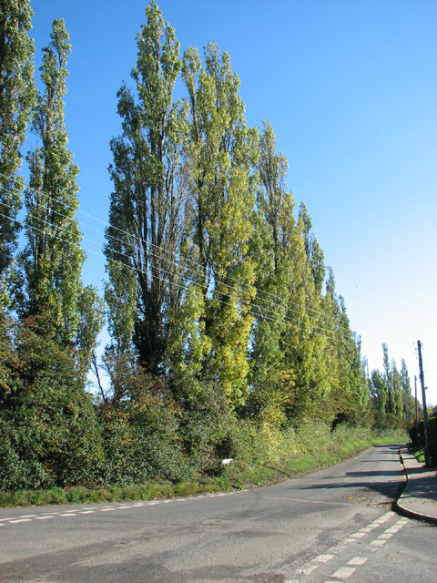
Great and Little Plumstead is a civil parish located in the county of Norfolk, England. It is situated approximately 5 miles east of Norwich, the county's capital city. The parish consists of two distinct villages, Great Plumstead and Little Plumstead, which are separated by a small stretch of farmland.
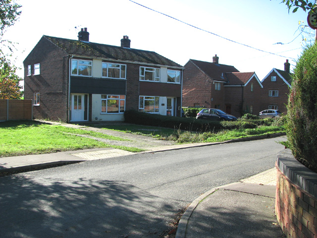
Great Plumstead, the larger of the two villages, is home to a population of around 1,700 residents. It retains a rural charm with its picturesque cottages and scenic countryside surroundings. The village is known for its historic St. Mary's Church, which dates back to the 12th century and features a striking tower. It also has a primary school, a village hall, and a local pub, providing essential amenities for its residents.
Little Plumstead, with a population of approximately 500, is situated to the east of Great Plumstead. It is a quieter village, with a more secluded atmosphere. The village is primarily residential, with several attractive period properties and modern housing developments. It has a small church, St. Protus and St. Hyacinth, which was built in the late 19th century.
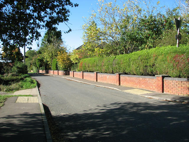
Both villages benefit from their proximity to Norwich, which provides access to a wider range of amenities, employment opportunities, and cultural attractions. The area is well-connected by road, with the A47 running nearby, offering convenient transportation links to other parts of Norfolk and beyond.
Overall, Great and Little Plumstead offer a peaceful and idyllic countryside setting, making them desirable places to live for those seeking a quieter, rural lifestyle within easy reach of urban amenities.
If you have any feedback on the listing, please let us know in the comments section below.
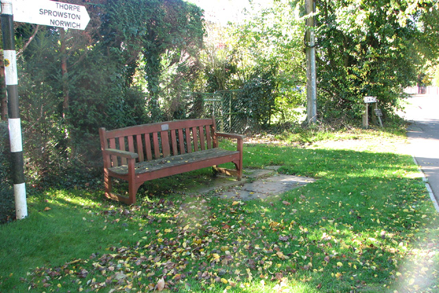
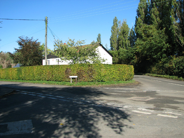
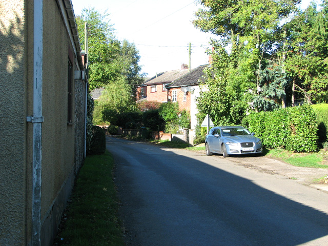
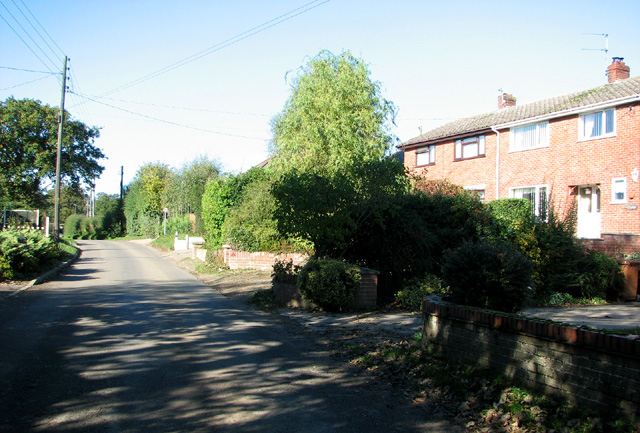
Great and Little Plumstead Images
Images are sourced within 2km of 52.648677/1.395795 or Grid Reference TG2911. Thanks to Geograph Open Source API. All images are credited.


Great and Little Plumstead is located at Grid Ref: TG2911 (Lat: 52.648677, Lng: 1.395795)
Administrative County: Norfolk
District: Broadland
Police Authority: Norfolk
What 3 Words
///squad.intervals.nasal. Near Rackheath, Norfolk
Nearby Locations
Related Wikis

Great and Little Plumstead
Great and Little Plumstead is a civil parish in the English county of Norfolk consisting of the villages of Great Plumstead, Little Plumstead and Thorpe...
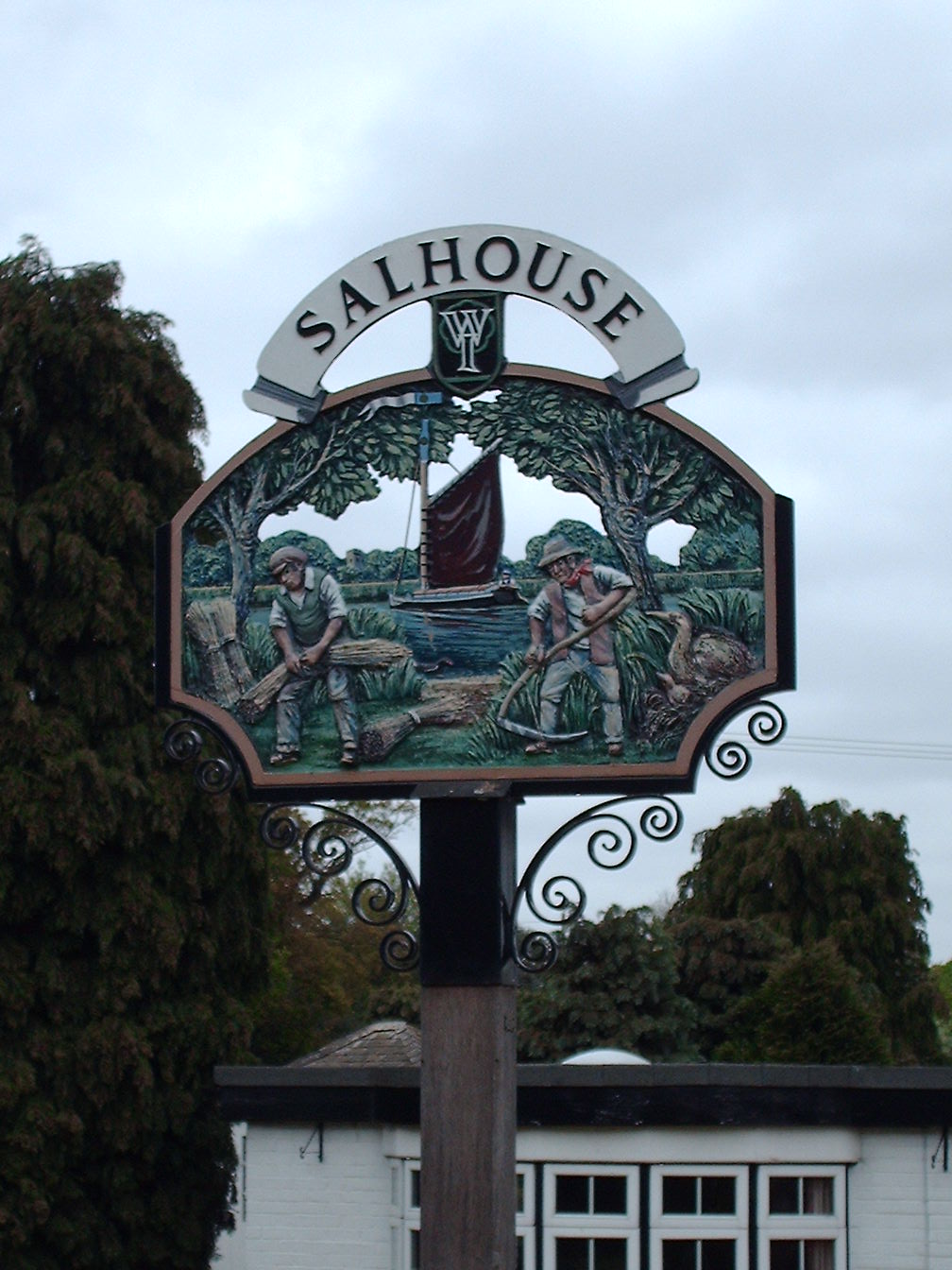
Salhouse
Salhouse is a village and civil parish in the Broads in the English county of Norfolk. It lies south of the River Bure and Salhouse Broad, about 10 kilometres...

Postwick with Witton
Postwick with Witton ( ) is a civil parish on the Broads in the English county of Norfolk, comprising the two adjacent villages of Postwick and Witton...

Blofield Heath
Blofield Heath is a hamlet in the civil parish of Blofield, in the Broadland district, in the county of Norfolk, England. It is about 7 miles from Norwich...
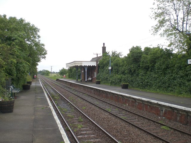
Salhouse railway station
Salhouse railway station is on the Bittern Line in Norfolk, England, serving the village of Salhouse. It is the next station along the line from Norwich...

Thorpe St Andrew School
Thorpe St. Andrew School is an 11 to 18 mixed secondary school in Thorpe St. Andrew on the outskirts of the city of Norwich in the English county of Norfolk...

St Andrew's Hospital, Norwich
St Andrew's Hospital was a mental health facility in Thorpe St Andrew, Norwich, Norfolk, England. The main building survives and it is a Grade II listed...
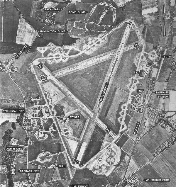
RAF Rackheath
Royal Air Force Rackheath, more commonly known as RAF Rackheath, is a former Royal Air Force station located near the village of Rackheath, approximately...
Nearby Amenities
Located within 500m of 52.648677,1.395795Have you been to Great and Little Plumstead?
Leave your review of Great and Little Plumstead below (or comments, questions and feedback).