Flitwick
Civil Parish in Bedfordshire
England
Flitwick
Flitwick is a civil parish in the county of Bedfordshire, England. It is located approximately 10 miles south of Bedford and 5 miles north-west of Luton. The parish covers an area of around 2.7 square miles and has a population of around 13,000 people.
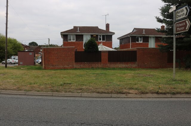
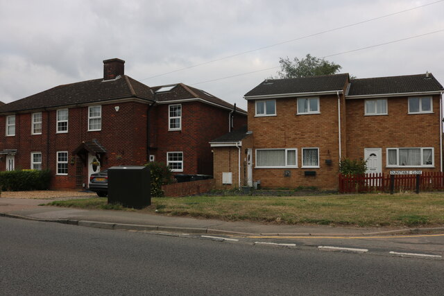
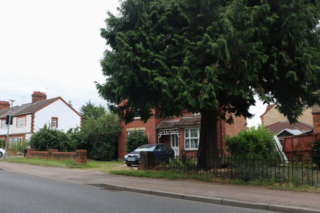
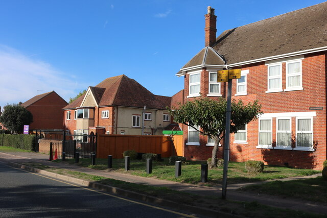
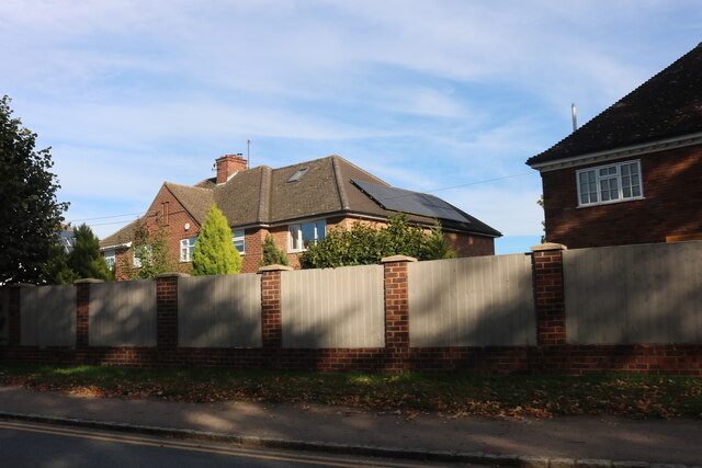
The town of Flitwick is situated on the River Flit, which flows through the parish. It is primarily a residential area, with a mix of housing styles including detached and semi-detached houses, as well as some apartment buildings. The town center is relatively small but offers a range of amenities, including shops, cafes, restaurants, and a library.
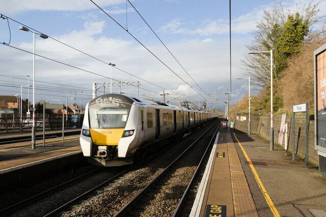
Flitwick is well-connected by transport links, with a train station that provides regular services to London and other major cities. It is also conveniently located near the M1 motorway, making it easily accessible by car.
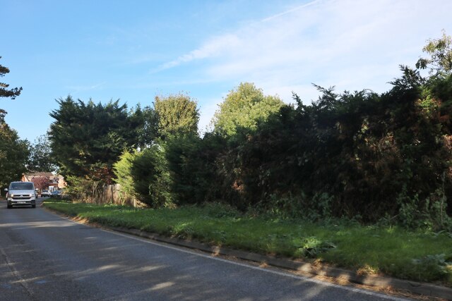
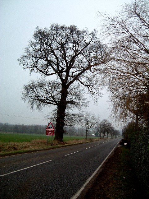
The parish has a number of green spaces, including Flitwick Moor, a nature reserve that is home to a variety of wildlife. There are also several parks and recreational areas, providing opportunities for outdoor activities and leisure.
Flitwick has a strong sense of community, with various local organizations and groups that contribute to the social fabric of the parish. The town also has several schools, making it an attractive place for families to live.
Overall, Flitwick offers a pleasant and convenient living environment, with its proximity to major cities and transport links, combined with its green spaces and community spirit.
If you have any feedback on the listing, please let us know in the comments section below.
Flitwick Images
Images are sourced within 2km of 52.001947/-0.501897 or Grid Reference TL0234. Thanks to Geograph Open Source API. All images are credited.

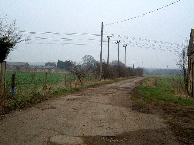


![Peakes End, Steppingley Peakes End (no sign of an apostrophe) is a little back lane in Steppingley. It leads to Park Farm which is in the adjacent southern square ([TL0134])](https://s3.geograph.org.uk/photos/17/37/173715_c2c236b2.jpg)


Flitwick is located at Grid Ref: TL0234 (Lat: 52.001947, Lng: -0.501897)
Unitary Authority: Central Bedfordshire
Police Authority: Bedfordshire
What 3 Words
///lovely.picturing.essay. Near Flitwick, Bedfordshire
Nearby Locations
Related Wikis
Flitwick
Flitwick ( ) is a town and civil parish in Bedfordshire, England. It is mentioned in the Domesday Book of 1086 as "a hamlet on the River Flitt". The spelling...
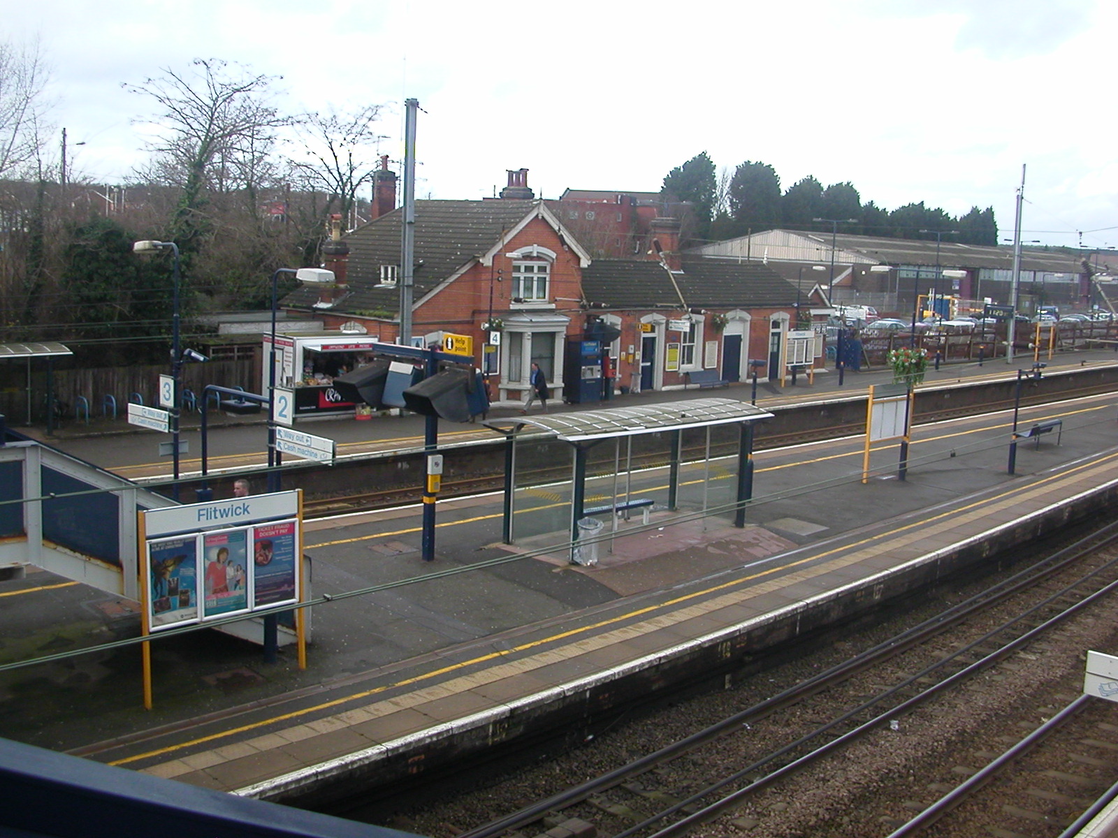
Flitwick railway station
Flitwick railway station is in the centre of Flitwick, in Bedfordshire, England. The station is situated on the Midland Main Line. The station is managed...

Flitwick Castle
Flitwick Castle was an 11th-century castle located in the town of Flitwick, in the county of Bedfordshire, England. It was a small, timber Motte-and-bailey...
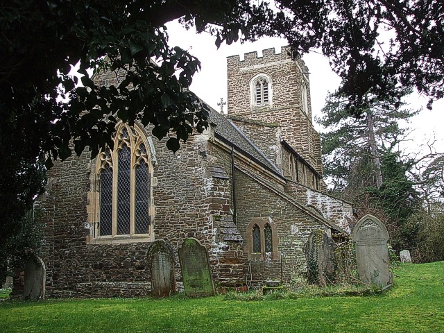
Church of St Peter & St Paul, Flitwick
The Church of St Peter & St Paul is the Church of England parish church in Flitwick, Bedfordshire, England. It became a Grade I listed building on 23 January...
Nearby Amenities
Located within 500m of 52.001947,-0.501897Have you been to Flitwick?
Leave your review of Flitwick below (or comments, questions and feedback).