Flitton and Greenfield

Civil Parish in Bedfordshire

England

Flitton and Greenfield

Houses on Park Road, Westoning
Houses on Park Road, Westoning Credit: David Howard

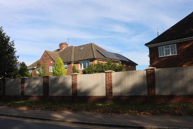
Flitton and Greenfield is a civil parish located in the county of Bedfordshire, England. The parish is made up of two small villages, Flitton and Greenfield, which are situated approximately 7 miles south of Bedford. The area is predominantly rural, with a mix of agricultural land, residential properties, and small businesses.

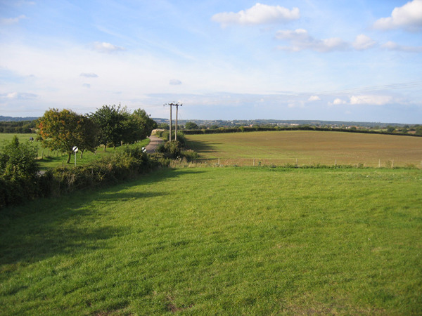
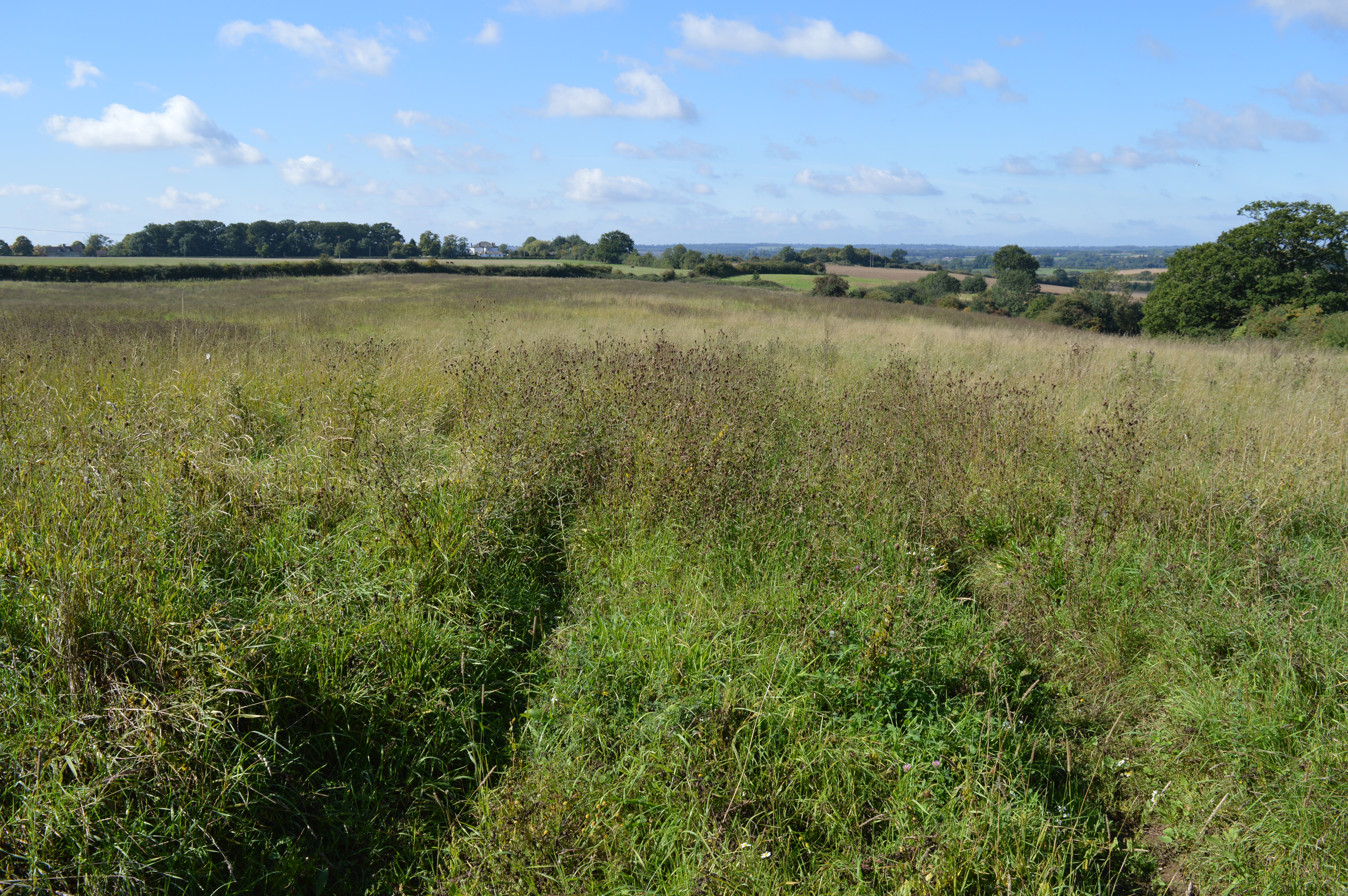
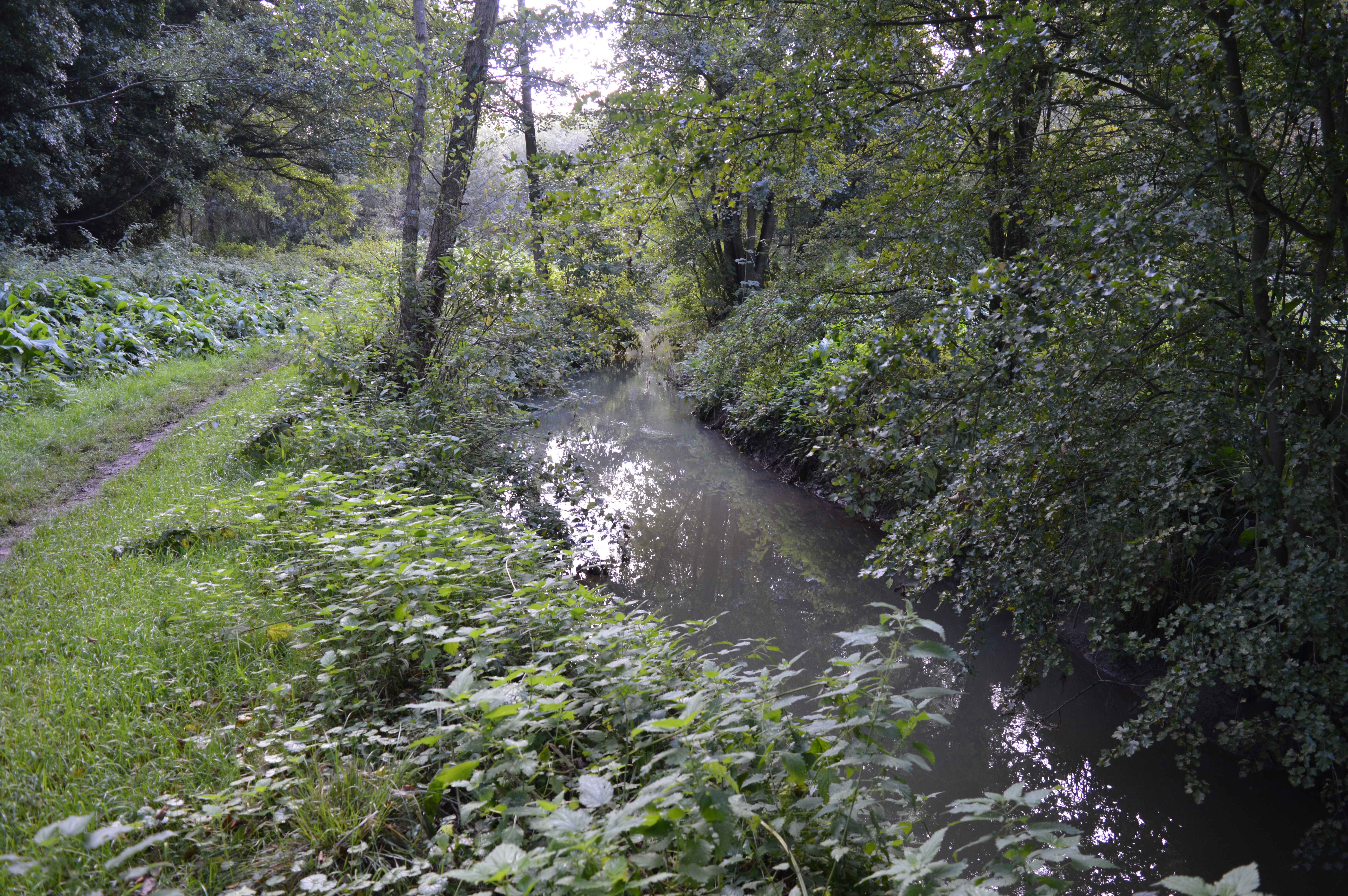
Flitton and Greenfield are known for their picturesque countryside, including rolling hills, woodlands, and meadows. The villages are home to a close-knit community, with a village hall, church, and local pub providing focal points for social gatherings.

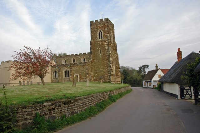
The parish has a rich history, with several historic buildings and landmarks, including the Grade I listed St John the Baptist Church in Flitton, which dates back to the 12th century. The area is also home to the Flitton Oak, a famous ancient tree that is estimated to be over 500 years old.

Overall, Flitton and Greenfield offers a peaceful and idyllic setting for residents and visitors alike, with plenty of opportunities for outdoor activities such as walking, cycling, and birdwatching.

If you have any feedback on the listing, please let us know in the comments section below.

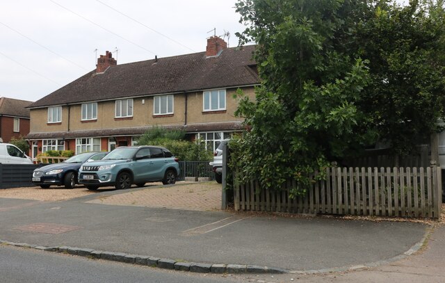
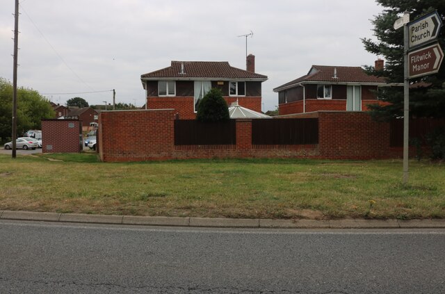
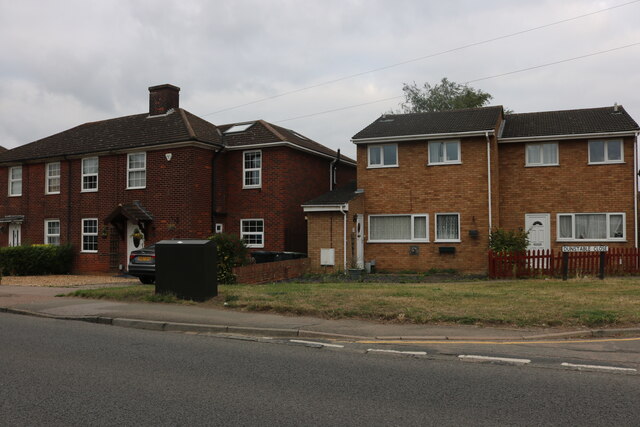
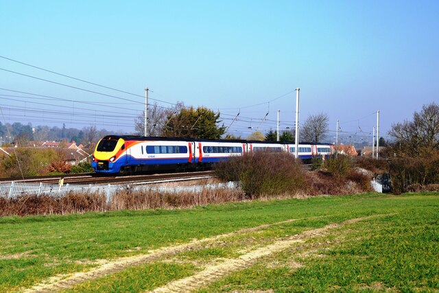
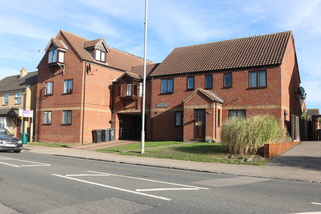
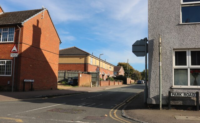
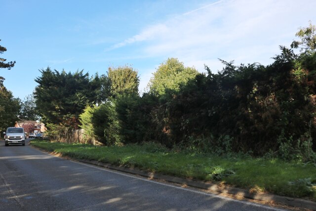
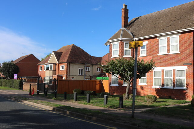
Flitton and Greenfield Images

Images are sourced within 2km of 51.994044/-0.479497 or Grid Reference TL0433. Thanks to Geograph Open Source API. All images are credited.

Houses on Park Road, Westoning
Houses by Dunstable Road, Flitwick
Houses on Dunstable Road, Flitwick
An East Midlands train near Westoning An East Midlands EMU passing Westoning on its way from the Midlands to London St. Pancras.
An East Midlands train near Westoning
An East Midlands EMU passing Westoning on its way from the Midlands to London St. Pancras.
The Compasses, Greenfield I assume this was a 'pub' but it is now a 'craft bar & restaurant.
The Compasses, Greenfield
I assume this was a 'pub' but it is now a 'craft bar & restaurant.
The Cross Keys public house, Pulloxhill
Westoria Court, Westoning Here is an earlier visit. <a title="https://www.geograph.org.uk/photo/5060166" href="https://www.geograph.org.uk/photo/5060166">Link</a>
Westoria Court, Westoning
Here is an earlier visit. Link
Sampshill Road, Westoning From Park Road
Sampshill Road, Westoning
From Park Road
Dunstable Road, Flitwick
Steppingley Road, Flitwick Flitwick Day Nursery is on the left.
Steppingley Road, Flitwick
Flitwick Day Nursery is on the left.
Houses on Dunstable Road, Flitwick The fence panels have just been added, replacing railings.
Houses on Dunstable Road, Flitwick
The fence panels have just been added, replacing railings.
Platform 1, Flitwick Railway Station Standing at the Northern end of Platform 1 with a train passing Platform 2 heading North towards Bedford.
Platform 1, Flitwick Railway Station
Standing at the Northern end of Platform 1 with a train passing Platform 2 heading North towards Bedford.
Flitton Church and surrounds Flitton church has an attached mausoleum (visible on the left) for the de Grey family of Wrest Park, Silsoe.
Flitton Church and surrounds
Flitton church has an attached mausoleum (visible on the left) for the de Grey family of Wrest Park, Silsoe.
Parish church, Pulloxhill, Beds Dedicated to St James the Apostle.
Parish church, Pulloxhill, Beds
Dedicated to St James the Apostle.
Rushy Meade ancient meadow, Pulloxhill, Beds View ESE across the square, towards the chalk escarpment N of Barton-le-Clay.
Rushy Meade ancient meadow, Pulloxhill, Beds
View ESE across the square, towards the chalk escarpment N of Barton-le-Clay.
Flitton Road, Pulloxhill, Beds View N towards Flitton.
Flitton Road, Pulloxhill, Beds
View N towards Flitton.
Farmland SW of Pulloxhill, Beds View NW towards the Flit valley.
Farmland SW of Pulloxhill, Beds
View NW towards the Flit valley.
View N from Greenfield Road, Pulloxhill, Beds
Show me another place!

Flitton and Greenfield is located at Grid Ref: TL0433 (Lat: 51.994044, Lng: -0.479497)

Unitary Authority: Central Bedfordshire

Police Authority: Bedfordshire

What 3 Words

///twinkling.serves.rhino. Near Greenfield, Bedfordshire

Nearby Locations

Flitton and Greenfield

Related Wikis

Flitton and Greenfield

Flitton and Greenfield is a civil parish in Bedfordshire, England. It consists of Flitton and Greenfield. Flitton and Greenfield are two small hamlets...

Pulloxhill Marsh

Pulloxhill Marsh is a 5.1-hectare (13-acre) biological Site of Special Scientific Interest in Pulloxhill in Bedfordshire. It was notified in 1985 under...

Greenfield, Bedfordshire

Greenfield is a small village about 2 km (1.2 mi) from the town of Flitwick in Bedfordshire, England. It lies across Flitwick Moor from the larger settlement...

Flitwick Moor

Flitwick Moor is a 59.8-hectare (148-acre) biological Site of Special Scientific Interest between Flitwick and Greenfield in Bedfordshire. It was notified...

Nearby Amenities

Located within 500m of 51.994044,-0.479497
Power: pole
Lat/Long: 51.9953882/-0.4737586
Power: pole
Lat/Long: 51.9946517/-0.4749012
Power: pole
Lat/Long: 51.9939316/-0.4760492
Power: pole
Lat/Long: 51.993119/-0.4773259
Power: pole
Lat/Long: 51.9907935/-0.4814726
Power: pole
Lat/Long: 51.9914443/-0.4802334
Power: pole
Lat/Long: 51.9922734/-0.4788119
Power: pole
Lat/Long: 51.9970067/-0.4824328
Power: pole
Lat/Long: 51.9962701/-0.4829907
Power: pole
Lat/Long: 51.9954939/-0.4835272
Power: pole
Lat/Long: 51.9945394/-0.4842567
Power: pole
Lat/Long: 51.9936508/-0.4848522
Power: pole
Lat/Long: 51.9927656/-0.4854906
Power: pole
Lat/Long: 51.9973502/-0.481993
Power: pole
Lat/Long: 51.9964089/-0.4826742
Power: pole
Lat/Long: 51.9954675/-0.4833663
Power: pole
Lat/Long: 51.9944733/-0.4840583
Power: pole
Lat/Long: 51.9935815/-0.4846859
Power: pole
Lat/Long: 51.9926797/-0.4853511
Power: pole
Lat/Long: 51.9900949/-0.4826555
Power: pole
Lat/Long: 51.9979678/-0.4817784
Power: pole
Lat/Long: 51.9982452/-0.4813626
Marker: aerial
Utility: gas
Lat/Long: 51.9904364/-0.4832708
The data included in this document is from www.openstreetmap.org. The data is made available under ODbL.

Have you been to Flitton and Greenfield?

Leave your review of Flitton and Greenfield below (or comments, questions and feedback).