Fenstanton

Civil Parish in Huntingdonshire Huntingdonshire

England

Fenstanton

B1040 crossing the A14
B1040 crossing the A14 Credit: Dave Thompson

Fenstanton is a civil parish located in the district of Huntingdonshire, Cambridgeshire, England. It is situated on the eastern bank of the River Ouse, approximately 3 miles southwest of St Ives and 10 miles northwest of the city of Cambridge. The parish covers an area of about 5.6 square miles and has a population of around 2,000.

The village of Fenstanton has a long history, with evidence of human activity dating back to the Roman period. It is mentioned in the Domesday Book of 1086, where it is recorded as "Fenestantune." The name is believed to come from the Old English words "fen" meaning marsh, and "stantun" meaning settlement, reflecting the area's geographical features.

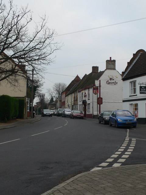
Today, Fenstanton is a vibrant community with a range of amenities and services. The village has a primary school, a village hall, a post office, a convenience store, and several pubs. It also benefits from good transport connections, with easy access to major roads such as the A14 and A1, making it convenient for commuters.

The surrounding landscape of Fenstanton is characterized by agricultural fields and open countryside, providing opportunities for outdoor activities such as walking and cycling. The nearby River Ouse offers fishing and boating opportunities.

Overall, Fenstanton is a picturesque and well-connected village with a rich history, making it an attractive place to live or visit in Huntingdonshire.

If you have any feedback on the listing, please let us know in the comments section below.
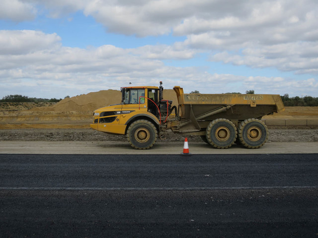
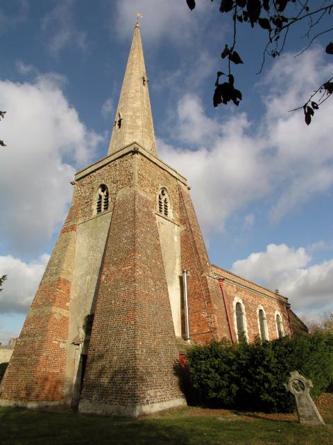
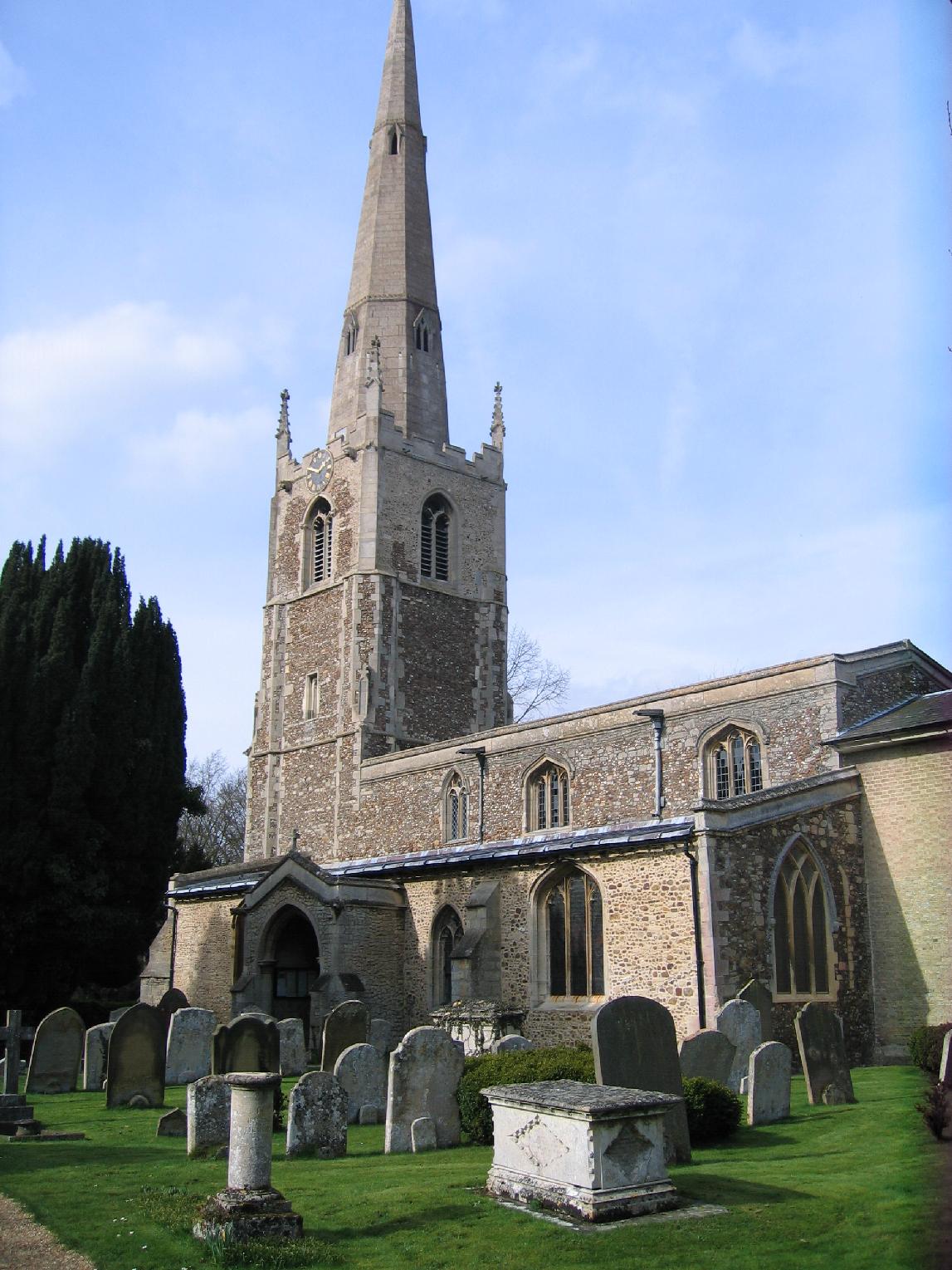
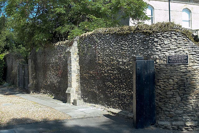
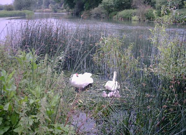
Fenstanton Images

Images are sourced within 2km of 52.296518/-0.07641 or Grid Reference TL3168. Thanks to Geograph Open Source API. All images are credited.

B1040 crossing the A14
Potton Road by the new A14 Here is an earlier visit <a title="https://www.geograph.org.uk/photo/6870361" href="https://www.geograph.org.uk/photo/6870361">Link</a>
Potton Road by the new A14
Here is an earlier visit Link
B1040 Potton Road This section was remade to put a bridge over the new A14.
B1040 Potton Road
This section was remade to put a bridge over the new A14.
New Lake by West Brook Dug to provide bulk aggregate for the new A14, see <a href="https://www.geograph.org.uk/photo/5970222">TL3067 : Aggregate extraction for A14 construction</a>
New Lake by West Brook
Dug to provide bulk aggregate for the new A14, see TL3067 : Aggregate extraction for A14 construction
Footpath This footpath leaves the B1040 and heads off into the field towards the left tracking along the edge of the drainage ditch visible in the foreground.
Footpath
This footpath leaves the B1040 and heads off into the field towards the left tracking along the edge of the drainage ditch visible in the foreground.
Inert waste management facility Woolpack farm Inert waste management facility
Inert waste management facility
Woolpack farm Inert waste management facility
A14 westbound
A14 westbound
Looking north from A14
A14 westbound
A14 westbound
A14 roadside A line of willows, a broken fence and a ditch separate the busy A14 from low lying fields.
A14 roadside
A line of willows, a broken fence and a ditch separate the busy A14 from low lying fields.
New A14 taking shape From the new B1040 bridge.
New A14 taking shape
From the new B1040 bridge.
Old and new B1040 The new bridge is open, allowing the new A14 to be built under it and through the old road.
Old and new B1040
The new bridge is open, allowing the new A14 to be built under it and through the old road.
A14 under construction The new road, which both expands the road to three lanes and bypasses Huntingdon and it's dodgy flyover.
A14 under construction
The new road, which both expands the road to three lanes and bypasses Huntingdon and it's dodgy flyover.
New B1040 bridge Over the route of the new A14, which can now be built through the old B1040.
New B1040 bridge
Over the route of the new A14, which can now be built through the old B1040.
Road surfacing equipment On display during a charity walk along 10km of the new road.
Road surfacing equipment
On display during a charity walk along 10km of the new road.
New B1040 bridge Over the new A14.
New B1040 bridge
Over the new A14.
New B1040 bridge Taken during a charity walk along 10km of the new A14.
New B1040 bridge
Taken during a charity walk along 10km of the new A14.
Dumper truck by new A14 With one of the extraction pits for the road behind. The project is self-sufficient for bulk materials due to good supplies of sand, gravel and clay along the route.
Dumper truck by new A14
With one of the extraction pits for the road behind. The project is self-sufficient for bulk materials due to good supplies of sand, gravel and clay along the route.
Show me another place!

Fenstanton is located at Grid Ref: TL3168 (Lat: 52.296518, Lng: -0.07641)

Administrative County: Cambridgeshire

District: Huntingdonshire

Police Authority: Cambridgeshire

What 3 Words

///moved.awesome.paddocks. Near Fenstanton, Cambridgeshire

Nearby Locations

Fenstanton Fenstanton

Related Wikis

Fenstanton

Fenstanton is a village and civil parish in Cambridgeshire, England, 2 miles (3 km) south of St Ives in Huntingdonshire, a non-metropolitan district of...

Conington, South Cambridgeshire

Conington (Conington St Mary, or Coningtom-juxta-Cantab) is a small village in the South Cambridgeshire district of Cambridgeshire with about 50 houses...

Hemingford Grey Meadow

Hemingford Grey Meadow is a 0.7-hectare (1.7-acre) biological Site of Special Scientific Interest south of Hemingford Grey in Cambridgeshire. It is managed...

Fen Drayton

Fen Drayton is a small village between Cambridge and St. Ives in Cambridgeshire, England, and between the villages of Fenstanton and Swavesey. The village...

Hemingford Abbots

Hemingford Abbots is a village and civil parish in Cambridgeshire, England. Hemingford Abbots lies approximately 3 miles (5 km) east of Huntingdon, and...

St Ives railway station (Cambridgeshire)

St Ives railway station is a former railway station in St Ives, Cambridgeshire. It formed a junction, with lines to the east heading towards Cambridge...

St Ives Priory

St Ives Priory was a priory in Cambridgeshire, England. It was established in 1017 by monks from Ramsey Abbey. == References ==

Ouse Valley Way

The Ouse Valley Way is a 150-mile (240 km) footpath in England, following the River Great Ouse from its source near Syresham in Northamptonshire to its...

Nearby Amenities

Located within 500m of 52.296518,-0.07641
Motorway Junction
Lat/Long: 52.3001771/-0.0796113
Fenstanton
Place: village
Wikidata: Q2801921
Wikipedia: en:Fenstanton
Lat/Long: 52.2979284/-0.070588
King William IV
Disused Amenity: pub
Wikidata: Q26615720
Lat/Long: 52.2988335/-0.073533
Mini Roundabout
Direction: clockwise
Lat/Long: 52.2989147/-0.073382
Turning Circle
Lat/Long: 52.2978546/-0.0749263
Motorway Junction
Layer: 3
Old Ref: 27
Lat/Long: 52.2974524/-0.0737352
Mount Farm
Place: farm
Lat/Long: 52.2943026/-0.0708463
Turning Circle
Lat/Long: 52.2963615/-0.0762121
Pub
Crown and Pipes
Wikidata: Q26615686
Lat/Long: 52.2982438/-0.0714341
Pub
The Duchess
Lat/Long: 52.298162/-0.0721834
Bus Stop
Pear Tree Close
Naptan AtcoCode: 0500HFENS001
Naptan Bearing: NE
Naptan BusStopType: CUS
Naptan CommonName: Pear Tree Close
Naptan Indicator: opp
Naptan Landmark: Pear Tree Close
Naptan NaptanCode: cmbdpadt
Naptan ShortCommonName: Pear Tree Close
Naptan Street: Hilton Road
Naptan Verified: no
Source: naptan_import
Lat/Long: 52.2954285/-0.0794664
Bus Stop
Chequer Street
Bus: yes
Naptan AtcoCode: 0500HFENS002
Naptan Bearing: SE
Naptan CommonName: Chequer Street
Naptan Indicator: near
Naptan Landmark: Chequer Street
Naptan NaptanCode: cmbdpadw
Naptan ShortCommonName: Chequer Street
Naptan Street: High Street
Naptan Verified: no
Public Transport: platform
Source: naptan_import
Lat/Long: 52.2986578/-0.0729913
Bus Stop
Chequer Street
Bus: yes
Naptan AtcoCode: 0500HFENS003
Naptan Bearing: NW
Naptan BusStopType: CUS
Naptan CommonName: Chequer Street
Naptan Indicator: opp
Naptan Landmark: Chequer Street
Naptan NaptanCode: cmbdpaga
Naptan ShortCommonName: Chequer Street
Naptan Street: High Street
Naptan Verified: no
Public Transport: platform
Source: naptan_import
Lat/Long: 52.2985852/-0.0731086
Bus Stop
Pear Tree Close
Naptan AtcoCode: 0500HFENS009
Naptan Bearing: SW
Naptan CommonName: Pear Tree Close
Naptan Indicator: near
Naptan Landmark: Pear Tree Close
Naptan NaptanCode: cmbdpagw
Naptan ShortCommonName: Pear Tree Close
Naptan Street: Hilton Road
Naptan Verified: no
Source: naptan_import
Lat/Long: 52.2953916/-0.0794094
Power: pole
Lat/Long: 52.2980818/-0.0752119
Power: pole
Lat/Long: 52.2955934/-0.080359
Power: pole
Lat/Long: 52.2949207/-0.0818181
Power: pole
Lat/Long: 52.2962364/-0.078983
Power: pole
Lat/Long: 52.2977143/-0.0761882
Power: pole
Lat/Long: 52.2969368/-0.0774946
Ash's Fenstanton Nisa Local
Shop: convenience
Lat/Long: 52.2981334/-0.0709466
Barkers Bakery
Addr Postcode: PE28 9JZ
Fhrs Id: 341359
Shop: bakery
Lat/Long: 52.2978466/-0.0705545
Fast Food
Barry's Plaice
Addr Postcode: PE28 9LQ
Cuisine: fish_and_chips
Fhrs Id: 997429
Lat/Long: 52.2982295/-0.0729128
Fenstanton Family Butchers
Addr Postcode: PE28 9LQ
Fhrs Id: 594444
Shop: butcher
Lat/Long: 52.2983342/-0.0719669
Pharmacy
Fenstanton Pharmacy
Lat/Long: 52.2976707/-0.0697254
Post Office
Fenstanton Post Office
Lat/Long: 52.29819/-0.0732337
Kindergarten
Ladybird Day Nursery
Addr Postcode: PE28 9JZ
Fhrs Id: 1106403
Lat/Long: 52.2979826/-0.0698094
The Gallows Guest House
Tourism: guest_house
Lat/Long: 52.2981249/-0.0717968
Post Box
Ref: PE28 92
Lat/Long: 52.2982583/-0.0733061
Clock
Man Made: tower
Lat/Long: 52.2984611/-0.0730657
Barrier: stile
Lat/Long: 52.2954591/-0.08311
Line Attachment: anchor
Location Transition: yes
Power: pole
Lat/Long: 52.2992174/-0.0733105
Power: pole
Lat/Long: 52.3003619/-0.0733397
Give Way
Lat/Long: 52.2997599/-0.0767662
Give Way
Lat/Long: 52.2997141/-0.0768829
Give Way
Lat/Long: 52.2987052/-0.0732511
Morris Homes
Office: estate_agent
Lat/Long: 52.2962209/-0.0693365
The data included in this document is from www.openstreetmap.org. The data is made available under ODbL.

Have you been to Fenstanton?

Leave your review of Fenstanton below (or comments, questions and feedback).