Fenstanton

Settlement in Huntingdonshire Huntingdonshire

England

Fenstanton

B1040 Potton Road This section was remade to put a bridge over the new A14.
B1040 Potton Road Credit: Hugh Venables

The requested URL returned error: 429 Too Many Requests

If you have any feedback on the listing, please let us know in the comments section below.
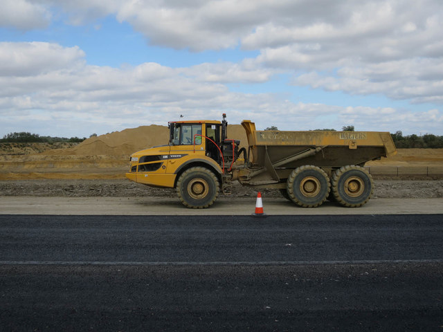
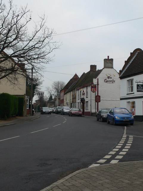
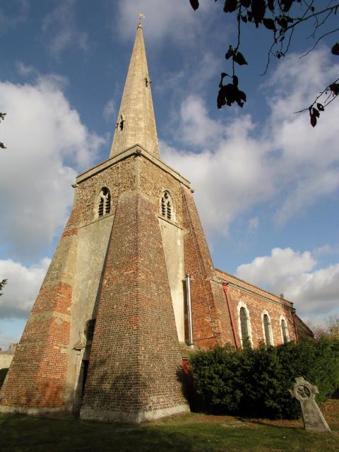
Fenstanton Images

Images are sourced within 2km of 52.298364/-0.072693 or Grid Reference TL3168. Thanks to Geograph Open Source API. All images are credited.

B1040 Potton Road This section was remade to put a bridge over the new A14.
B1040 Potton Road
This section was remade to put a bridge over the new A14.
New Lake by West Brook Dug to provide bulk aggregate for the new A14, see <a href="https://www.geograph.org.uk/photo/5970222">TL3067 : Aggregate extraction for A14 construction</a>
New Lake by West Brook
Dug to provide bulk aggregate for the new A14, see TL3067 : Aggregate extraction for A14 construction
Inert waste management facility Woolpack farm Inert waste management facility
Inert waste management facility
Woolpack farm Inert waste management facility
A14 westbound
A14 westbound
Looking north from A14
New A14 taking shape From the new B1040 bridge.
New A14 taking shape
From the new B1040 bridge.
Dumper truck by new A14 With one of the extraction pits for the road behind. The project is self-sufficient for bulk materials due to good supplies of sand, gravel and clay along the route.
Dumper truck by new A14
With one of the extraction pits for the road behind. The project is self-sufficient for bulk materials due to good supplies of sand, gravel and clay along the route.
A14 under construction Taken during a charity walk along 10km of the new road.
A14 under construction
Taken during a charity walk along 10km of the new road.
The new A14, Hilton The road has only been open very recently.
The new A14, Hilton
The road has only been open very recently.
West Brook Pit by new A14 One of several sources of bulk aggragate for the new road, now doing well for wildlife with birds such as Little Ringed Plovers making use of the bare edges. Viewable from the B1040. See <a href="https://www.geograph.org.uk/photo/5970212">TL2967 : Dumper truck by new A14</a>
West Brook Pit by new A14
One of several sources of bulk aggragate for the new road, now doing well for wildlife with birds such as Little Ringed Plovers making use of the bare edges. Viewable from the B1040. See TL2967 : Dumper truck by new A14
Cyclepath by B1040 Just for the stretch for the bridge over the new A14, hopefully it will be connected back to Hilton at some point.
Cyclepath by B1040
Just for the stretch for the bridge over the new A14, hopefully it will be connected back to Hilton at some point.
Pond by the new A14, Hilton These stretch for over a mile and appear to be filled gravel pits.
Pond by the new A14, Hilton
These stretch for over a mile and appear to be filled gravel pits.
Boathaven Bungalow A residence at the St Ives Boathaven Marina.
Boathaven Bungalow
A residence at the St Ives Boathaven Marina.
Fenstanton Clock Tower & Lockup Recorded in the Listed Buildings register as:

"On green at road junction, W. end of High Street-Late C17 square brick structure with rusticated quoins, and over sailing courses at eaves, with pyramidal slate roof surmounted by timber cupola, with round keyed circle in each face, and containing bell dated. 1660 or 1666; weather vane above"
Fenstanton Clock Tower & Lockup
Recorded in the Listed Buildings register as: "On green at road junction, W. end of High Street-Late C17 square brick structure with rusticated quoins, and over sailing courses at eaves, with pyramidal slate roof surmounted by timber cupola, with round keyed circle in each face, and containing bell dated. 1660 or 1666; weather vane above"
Marsh Lane Gravel Pits, Hemingford Grey Normally inaccessible to the public, these flooded gravel pits are a haven for wildlife.
Marsh Lane Gravel Pits, Hemingford Grey
Normally inaccessible to the public, these flooded gravel pits are a haven for wildlife.
Low Road, St Ives Looking towards the roundabout on the A1096.  The footpath, whose sign can just be discerned in the trees to the right, leads to the River Great Ouse.
Low Road, St Ives
Looking towards the roundabout on the A1096. The footpath, whose sign can just be discerned in the trees to the right, leads to the River Great Ouse.
Fenland fields This is the view from the footpath north from the church in Fenstanton, showing typical fenland agricultural fields.
Fenland fields
This is the view from the footpath north from the church in Fenstanton, showing typical fenland agricultural fields.
Water house This is a building owned by the water company as part of the pumping system to keep the fens drained. This is the only feature except a caravan park, stream and fields in this area of the fens between Fenstanton and St. Ives.
Water house
This is a building owned by the water company as part of the pumping system to keep the fens drained. This is the only feature except a caravan park, stream and fields in this area of the fens between Fenstanton and St. Ives.
Show me another place!

Fenstanton is located at Grid Ref: TL3168 (Lat: 52.298364, Lng: -0.072693)

Administrative County: Cambridgeshire

District: Huntingdonshire

Police Authority: Cambridgeshire

What 3 Words

///upon.copy.feasted. Near Fenstanton, Cambridgeshire

Nearby Locations

Fenstanton Fenstanton

Related Wikis

Fenstanton

Fenstanton is a village and civil parish in Cambridgeshire, England, 2 miles (3 km) south of St Ives in Huntingdonshire, a non-metropolitan district of...

Fen Drayton

Fen Drayton is a small village between Cambridge and St. Ives in Cambridgeshire, England, and between the villages of Fenstanton and Swavesey. The village...

Conington, South Cambridgeshire

Conington (Conington St Mary, or Coningtom-juxta-Cantab) is a small village in the South Cambridgeshire district of Cambridgeshire with about 50 houses...

Hemingford Grey Meadow

Hemingford Grey Meadow is a 0.7-hectare (1.7-acre) biological Site of Special Scientific Interest south of Hemingford Grey in Cambridgeshire. It is managed...

Nearby Amenities

Located within 500m of 52.298364,-0.072693
Fenstanton
Place: village
Wikidata: Q2801921
Wikipedia: en:Fenstanton
Lat/Long: 52.2979284/-0.070588
King William IV
Disused Amenity: pub
Wikidata: Q26615720
Lat/Long: 52.2988335/-0.073533
Mini Roundabout
Direction: clockwise
Lat/Long: 52.2989147/-0.073382
Turning Circle
Lat/Long: 52.2998958/-0.0694343
Turning Circle
Lat/Long: 52.2992391/-0.0701407
Turning Circle
Lat/Long: 52.2963817/-0.0661963
Turning Circle
Lat/Long: 52.2965071/-0.0678318
Turning Circle
Lat/Long: 52.2978546/-0.0749263
Motorway Junction
Layer: 3
Old Ref: 27
Lat/Long: 52.2974524/-0.0737352
Mount Farm
Place: farm
Lat/Long: 52.2943026/-0.0708463
Model Farm
Place: farm
Lat/Long: 52.2943076/-0.0699291
Turning Circle
Lat/Long: 52.2963615/-0.0762121
Pub
Crown and Pipes
Wikidata: Q26615686
Lat/Long: 52.2982438/-0.0714341
Pub
The Duchess
Lat/Long: 52.298162/-0.0721834
Bus Stop
Chequer Street
Bus: yes
Naptan AtcoCode: 0500HFENS002
Naptan Bearing: SE
Naptan CommonName: Chequer Street
Naptan Indicator: near
Naptan Landmark: Chequer Street
Naptan NaptanCode: cmbdpadw
Naptan ShortCommonName: Chequer Street
Naptan Street: High Street
Naptan Verified: no
Public Transport: platform
Source: naptan_import
Lat/Long: 52.2986578/-0.0729913
Bus Stop
Chequer Street
Bus: yes
Naptan AtcoCode: 0500HFENS003
Naptan Bearing: NW
Naptan BusStopType: CUS
Naptan CommonName: Chequer Street
Naptan Indicator: opp
Naptan Landmark: Chequer Street
Naptan NaptanCode: cmbdpaga
Naptan ShortCommonName: Chequer Street
Naptan Street: High Street
Naptan Verified: no
Public Transport: platform
Source: naptan_import
Lat/Long: 52.2985852/-0.0731086
Bus Stop
Swan Road
Bus: yes
Naptan AtcoCode: 0500HFENS004
Naptan Bearing: E
Naptan CommonName: Swan Road
Naptan Indicator: near
Naptan Landmark: Swan Road
Naptan NaptanCode: cmbdpagd
Naptan ShortCommonName: Swan Road
Naptan Street: High Street
Naptan Verified: no
Public Transport: platform
Source: naptan_import
Lat/Long: 52.2976224/-0.0689879
Bus Stop
Swan Road
Bus: yes
Naptan AtcoCode: 0500HFENS006
Naptan Bearing: W
Naptan CommonName: Swan Road
Naptan Indicator: opp
Naptan Landmark: Swan Road
Naptan NaptanCode: cmbdpagm
Naptan ShortCommonName: Swan Road
Naptan Street: High Street
Naptan Verified: no
Public Transport: platform
Source: naptan_import
Lat/Long: 52.2975236/-0.0689922
Bus Stop
Rookery Way
Bus: yes
Naptan AtcoCode: 0500HFENS007
Naptan Bearing: NW
Naptan CommonName: Rookery Way
Naptan Indicator: opp
Naptan Landmark: Rookery Way
Naptan NaptanCode: cmbdpagp
Naptan ShortCommonName: Rookery Way
Naptan Street: High Street
Naptan Verified: no
Public Transport: platform
Source: naptan_import
Lat/Long: 52.2967264/-0.0664311
Power: pole
Lat/Long: 52.2980818/-0.0752119
Power: pole
Lat/Long: 52.2962364/-0.078983
Power: pole
Lat/Long: 52.2977143/-0.0761882
Power: pole
Lat/Long: 52.2969368/-0.0774946
Ash's Fenstanton Nisa Local
Shop: convenience
Lat/Long: 52.2981334/-0.0709466
Barkers Bakery
Addr Postcode: PE28 9JZ
Fhrs Id: 341359
Shop: bakery
Lat/Long: 52.2978466/-0.0705545
Fast Food
Barry's Plaice
Addr Postcode: PE28 9LQ
Cuisine: fish_and_chips
Fhrs Id: 997429
Lat/Long: 52.2982295/-0.0729128
Fenstanton Family Butchers
Addr Postcode: PE28 9LQ
Fhrs Id: 594444
Shop: butcher
Lat/Long: 52.2983342/-0.0719669
Pharmacy
Fenstanton Pharmacy
Lat/Long: 52.2976707/-0.0697254
Post Office
Fenstanton Post Office
Lat/Long: 52.29819/-0.0732337
Kindergarten
Ladybird Day Nursery
Addr Postcode: PE28 9JZ
Fhrs Id: 1106403
Lat/Long: 52.2979826/-0.0698094
The Gallows Guest House
Tourism: guest_house
Lat/Long: 52.2981249/-0.0717968
Post Box
Ref: PE28 92
Lat/Long: 52.2982583/-0.0733061
Clock
Man Made: tower
Lat/Long: 52.2984611/-0.0730657
Post Box
Lat/Long: 52.2985489/-0.0680848
Ron's Farm Shop
Addr Housenumber: 2
Addr Street: Honey Hill
Addr Village: Fenstanton
Opening Hours: Tu 07:30-17:00; We 07:30-13:00; Th-Fr 07:30-17:00; Sa 07:30-14:00; Su 07:30-12:30
Shop: greengrocer
Lat/Long: 52.3014981/-0.0678507
High Street, Fenstanton
Frequency: 50
Location: outdoor
Operator: UK Power Networks
Power: substation
Ref: L3191 6827B
Source: survey
Substation: minor_distribution
Voltage: 11000
Lat/Long: 52.2968934/-0.0668599
Give Way
Lat/Long: 52.2974306/-0.0686457
Give Way
Lat/Long: 52.2975112/-0.0686571
Turning Circle
Lat/Long: 52.2997575/-0.0711989
Turning Circle
Lat/Long: 52.2987367/-0.0653969
Line Attachment: anchor
Location Transition: yes
Power: pole
Lat/Long: 52.2992174/-0.0733105
Power: pole
Lat/Long: 52.3003619/-0.0733397
Power: pole
Lat/Long: 52.3014772/-0.073369
Power: pole
Lat/Long: 52.3026015/-0.0734016
Give Way
Lat/Long: 52.2997599/-0.0767662
Give Way
Lat/Long: 52.2997141/-0.0768829
Give Way
Lat/Long: 52.2987052/-0.0732511
Give Way
Lat/Long: 52.2970747/-0.0672846
Kier
Office: estate_agent
Lat/Long: 52.2957151/-0.0677031
Morris Homes
Office: estate_agent
Lat/Long: 52.2962209/-0.0693365
Barrier: yes
Foot: yes
Lat/Long: 52.299372/-0.0697425
Artwork Type: sculpture
Tourism: artwork
Lat/Long: 52.3015647/-0.0763918
The data included in this document is from www.openstreetmap.org. The data is made available under ODbL.

Have you been to Fenstanton?

Leave your review of Fenstanton below (or comments, questions and feedback).