Farcet
Civil Parish in Huntingdonshire Huntingdonshire
England
Farcet

Farcet is a civil parish located in the district of Huntingdonshire, in the county of Cambridgeshire, England. Situated approximately 6 miles south-west of the town of Peterborough, Farcet covers an area of about 3.9 square miles. It lies on the eastern bank of the River Nene and is bordered by the A1 road to the west.
The village of Farcet has a long history, dating back to at least the 12th century. It was once a farming community, but over the years it has developed into a residential area with a mix of modern and traditional housing. The parish includes several smaller settlements, including Stanground and Farcet Fen.
Farcet offers a range of amenities for its residents, including a primary school, a village hall, a medical practice, and a post office. The village also has a number of shops, pubs, and restaurants, providing locals with convenient access to everyday necessities.
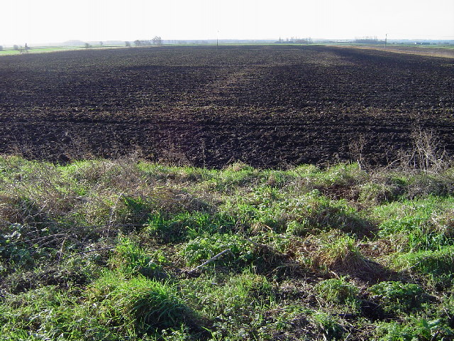
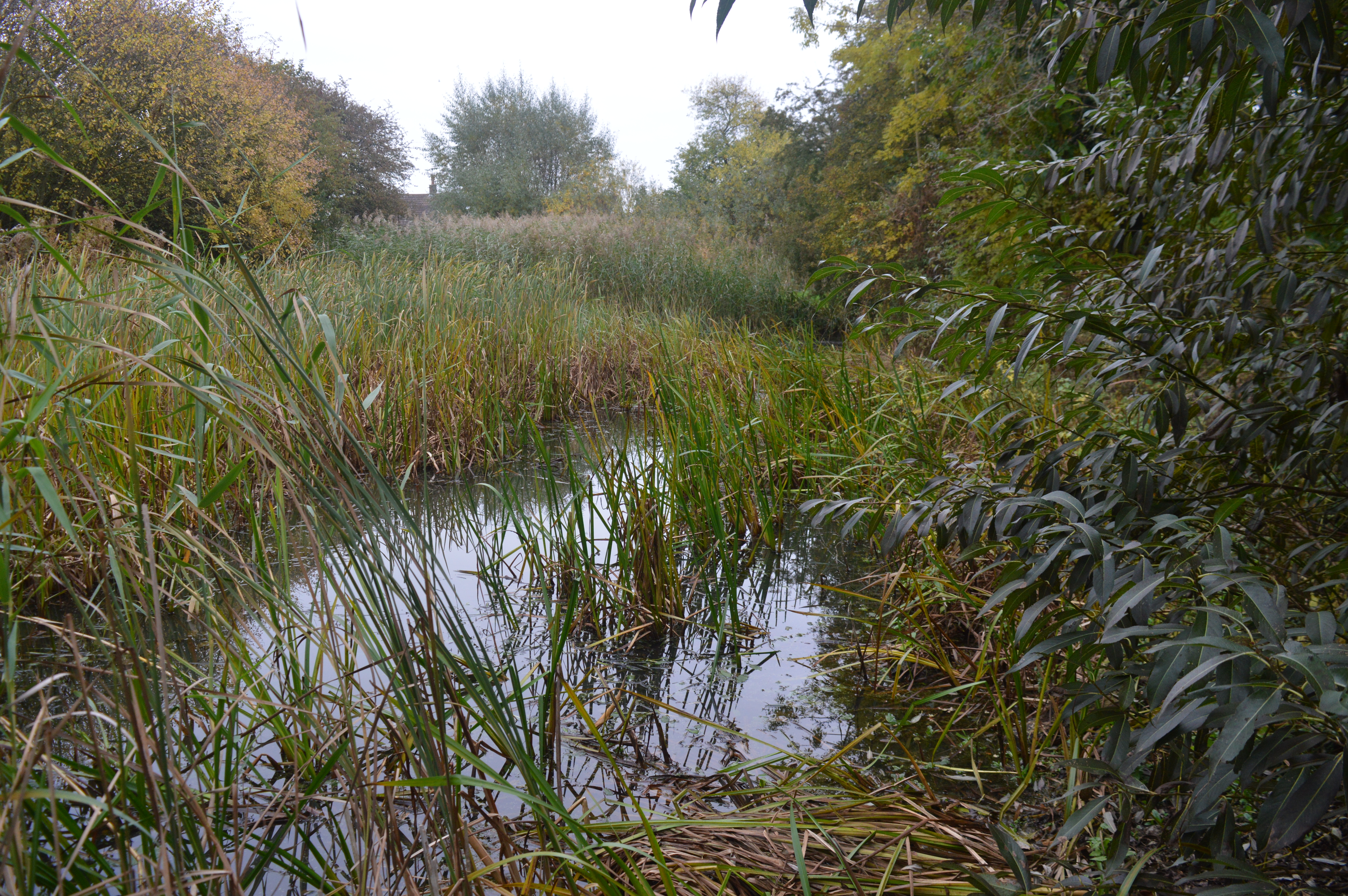
The surrounding countryside is characterized by open fields and farmland, providing opportunities for outdoor activities such as walking and cycling. The area is also known for its wildlife, with several nature reserves nearby, including the Farcet Fen Nature Reserve.
Transport links in Farcet are well-established, with the A1 providing easy access to Peterborough, as well as other major cities such as Cambridge and London. The village also has good public transport connections, with regular bus services to nearby towns and villages.
Overall, Farcet offers a peaceful and picturesque setting for its residents, combining the charm of a rural village with the convenience of nearby amenities and transport links.
If you have any feedback on the listing, please let us know in the comments section below.
Farcet Images
Images are sourced within 2km of 52.521485/-0.192035 or Grid Reference TL2293. Thanks to Geograph Open Source API. All images are credited.


Farcet is located at Grid Ref: TL2293 (Lat: 52.521485, Lng: -0.192035)
Administrative County: Cambridgeshire
District: Huntingdonshire
Police Authority: Cambridgeshire
What 3 Words
///reacting.screening.copying. Near Yaxley, Cambridgeshire
Nearby Locations
Related Wikis

Whittlesey Mere
Whittlesea Mere was an area of open water in the Fenland area of the county of Huntingdonshire (now Cambridgeshire), England. The mere occupied the land...
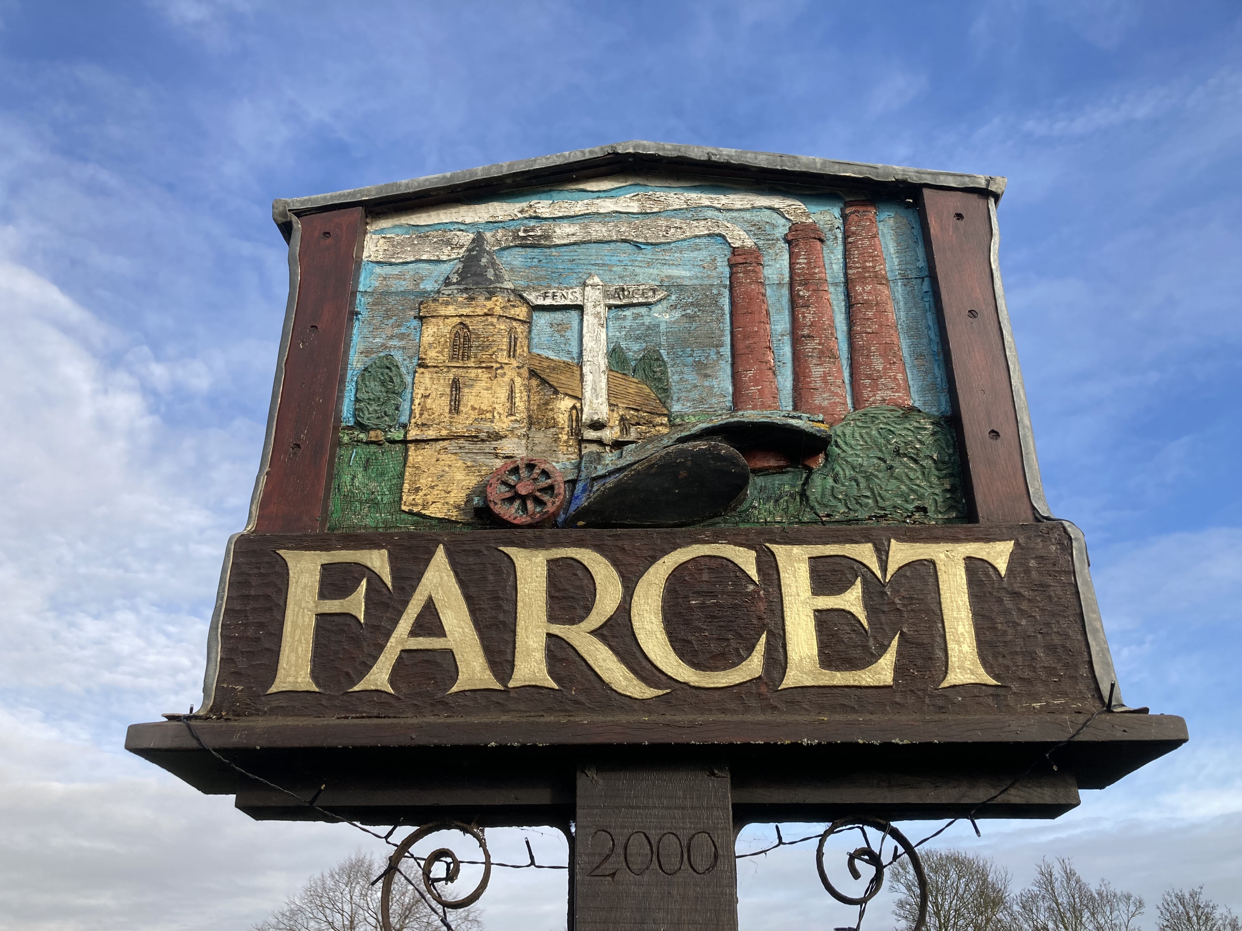
Farcet
Farcet is a village and civil parish in Cambridgeshire, England. Farcet lies approximately 2 miles (3 km) south of Peterborough city centre, between Yaxley...

Yaxley and Farcet railway station
Yaxley and Farcet railway station is a former station in Yaxley, Cambridgeshire, just south of Peterborough. == History == The station was opened by the...

Pondersbridge
Pondersbridge is a village in Whittlesey civil parish, part of the Fenland district of Cambridgeshire, England. Pondersbridge is essentially a settlement...
Stanground Academy
Stanground Academy is a co-educational academy school and specialist college for sport, in the city of Peterborough in the United Kingdom. As of 20 October...

Must Farm Bronze Age settlement
Part of a Bronze Age settlement was uncovered at Must Farm quarry, at Whittlesey, near Peterborough, in Cambridgeshire, England. The site has been described...

Stanground
Stanground is a residential area of Peterborough, in the ceremonial county of Cambridgeshire, England. For electoral purposes, it comprises the Stanground...
Stanground Newt Ponds
Stanground Newt Ponds is a 0.8-hectare (2.0-acre) nature reserve in Peterborough in Cambridgeshire. It is managed by the Wildlife Trust for Bedfordshire...
Related Videos

A walk along the river nene
I take a walk along the river nene and then check out Lynch Bridge which carries the nene valley railway over the river nene.

Alwalton & Castor on the Nene/ A Cinematic Journey
Join me on a Cinematic journey as I make my way on a beautiful summers morning from the villages of Alwalton & Castor to Ferry ...
Narrowboat Cruising the River Nene #crymeariver #relaxingvideos #summertime
In this video, we're cruising the river Nene on a narrowboat! If you're looking for a relaxing summertime video, check out our trip ...

Guru Tackle Fusion Cool Bag
Guru Fusion cool bag just an overview of it in my words.
Nearby Amenities
Located within 500m of 52.521485,-0.192035Have you been to Farcet?
Leave your review of Farcet below (or comments, questions and feedback).