Johnson's Land
Downs, Moorland in Huntingdonshire Huntingdonshire
England
Johnson's Land

The requested URL returned error: 429 Too Many Requests
If you have any feedback on the listing, please let us know in the comments section below.
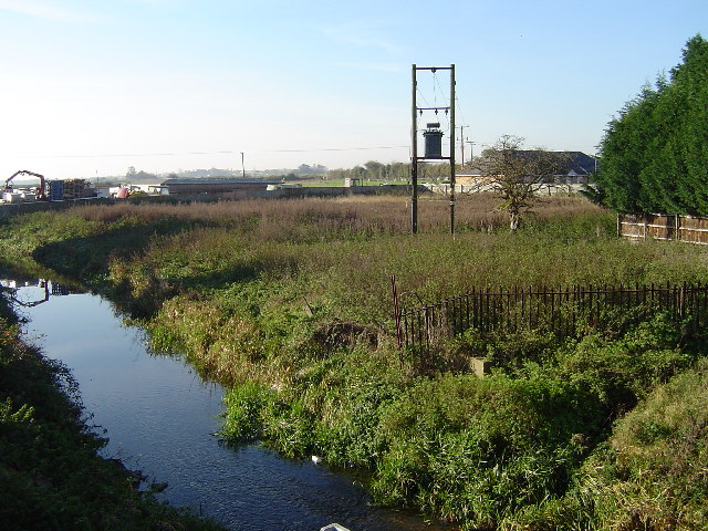
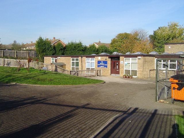
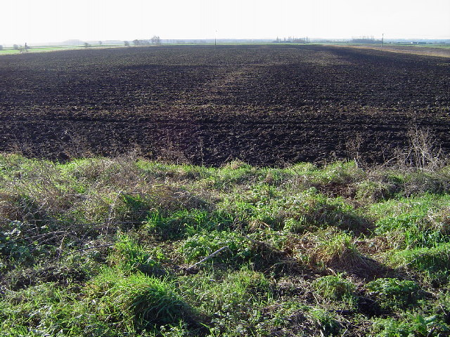
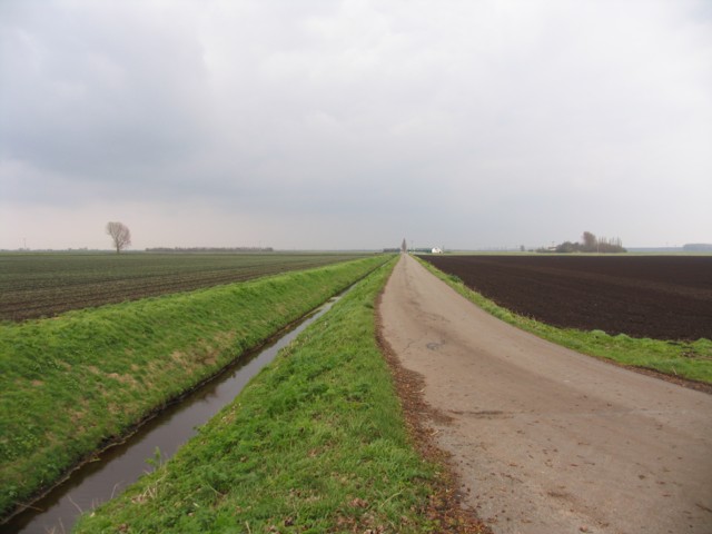
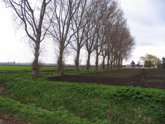
Johnson's Land Images
Images are sourced within 2km of 52.523542/-0.20225084 or Grid Reference TL2293. Thanks to Geograph Open Source API. All images are credited.


Johnson's Land is located at Grid Ref: TL2293 (Lat: 52.523542, Lng: -0.20225084)
Administrative County: Cambridgeshire
District: Huntingdonshire
Police Authority: Cambridgeshire
What 3 Words
///smoothly.cheese.tasks. Near Yaxley, Cambridgeshire
Nearby Locations
Related Wikis
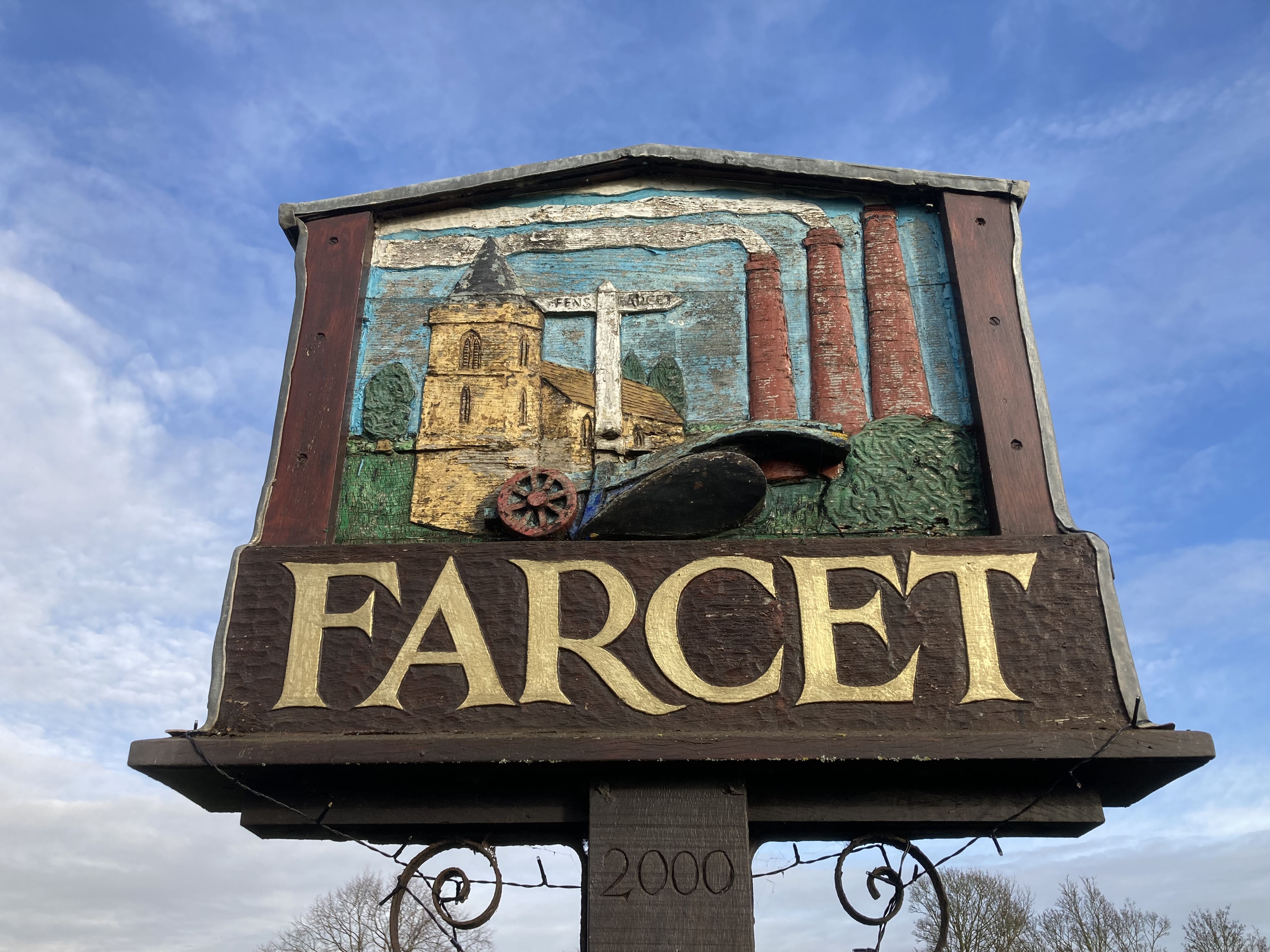
Farcet
Farcet is a village and civil parish in Cambridgeshire, England. Farcet lies approximately 2 miles (3 km) south of Peterborough city centre, between Yaxley...

Whittlesey Mere
Whittlesea Mere was an area of open water in the Fenland area of the county of Huntingdonshire (now Cambridgeshire), England. The mere occupied the land...

Yaxley and Farcet railway station
Yaxley and Farcet railway station is a former station in Yaxley, Cambridgeshire, just south of Peterborough. == History == The station was opened by the...

Stanground Academy
Stanground Academy is a co-educational academy school and specialist college for sport, in the city of Peterborough in the United Kingdom. As of 20 October...
Nearby Amenities
Located within 500m of 52.523542,-0.20225084Have you been to Johnson's Land?
Leave your review of Johnson's Land below (or comments, questions and feedback).