Endon and Stanley
Civil Parish in Staffordshire Staffordshire Moorlands
England
Endon and Stanley
Endon and Stanley is a civil parish located in the Staffordshire Moorlands district of Staffordshire, England. It is situated about 5 miles northeast of Stoke-on-Trent and 11 miles northwest of Leek. The parish is made up of two neighboring villages, Endon and Stanley, which are often referred to collectively due to their close proximity.
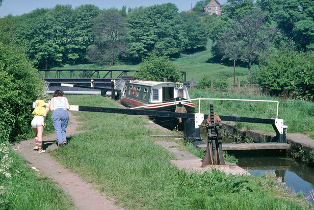
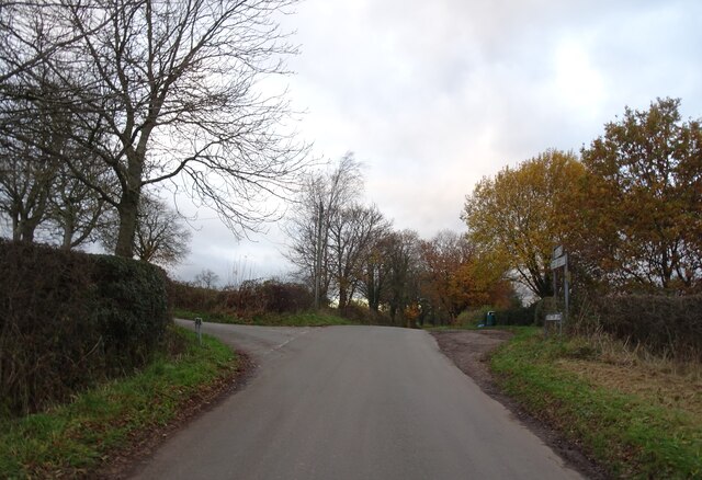
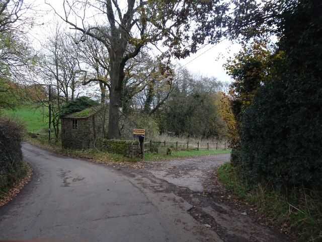
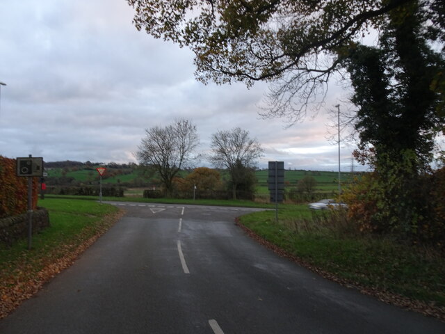
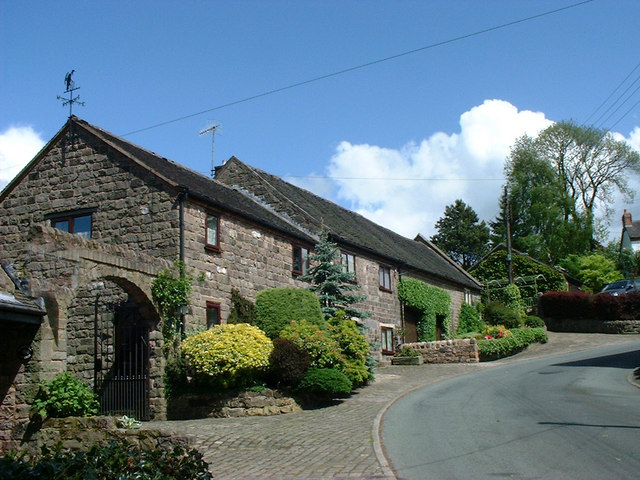
Endon and Stanley are nestled in a picturesque setting, surrounded by the rolling Staffordshire countryside. The area is known for its natural beauty, with numerous walking trails and scenic spots to explore, including the nearby Tittesworth Reservoir and Rudyard Lake.
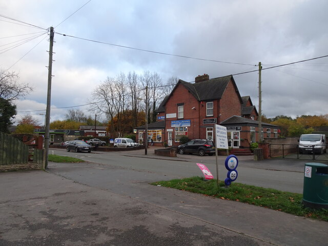
The villages have a combined population of approximately 5,500 residents. Endon is the larger of the two, with a range of amenities and services, including a post office, shops, pubs, and a primary school. Stanley, a smaller village, is primarily residential in nature.
The area has a rich history, with evidence of human habitation dating back to the Bronze Age. There are several notable landmarks in the parish, such as the Grade II listed St. Luke's Church in Endon, which dates back to the 17th century.
Endon and Stanley have a strong sense of community, with various local events and activities taking place throughout the year. The villages are well-connected, with good transport links to nearby towns and cities, making it an attractive location for commuters.
Overall, Endon and Stanley offer a tranquil and idyllic setting, with a friendly community and a range of amenities, making it a desirable place to live or visit.
If you have any feedback on the listing, please let us know in the comments section below.
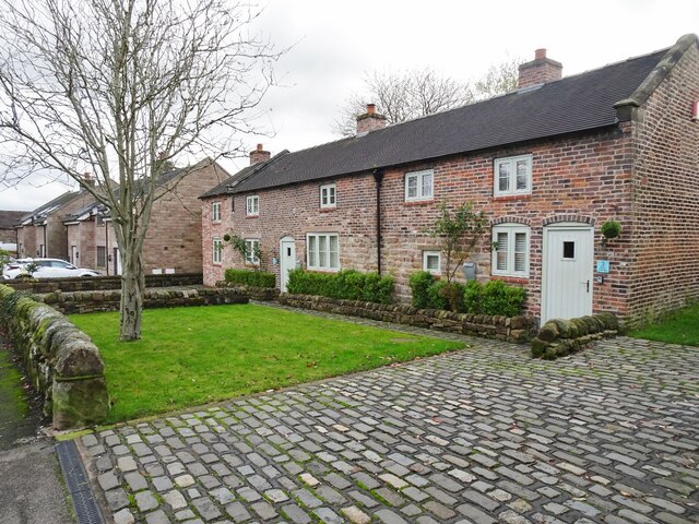
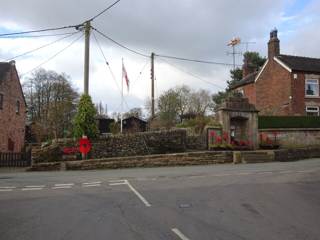
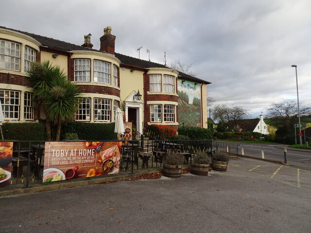
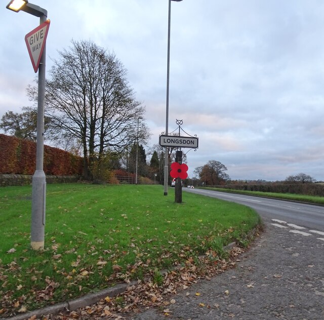
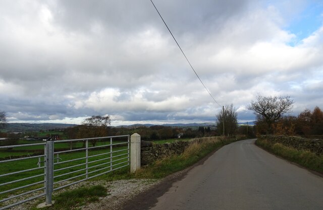
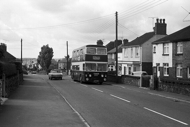
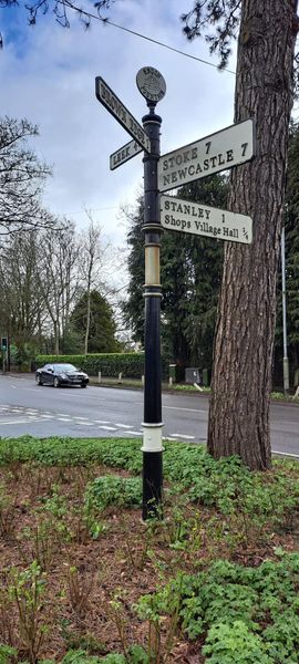
Endon and Stanley Images
Images are sourced within 2km of 53.078829/-2.109523 or Grid Reference SJ9253. Thanks to Geograph Open Source API. All images are credited.


Endon and Stanley is located at Grid Ref: SJ9253 (Lat: 53.078829, Lng: -2.109523)
Administrative County: Staffordshire
District: Staffordshire Moorlands
Police Authority: Staffordshire
What 3 Words
///prevented.careful.loopholes. Near Cheddleton, Staffordshire
Nearby Locations
Related Wikis

Endon
Endon is a village within the Staffordshire Moorlands district of Staffordshire, England. It is 4 miles (6.4 km) southwest of Leek and 6 miles (9.7 km...
St Luke's Church, Endon
St Luke's Church is an Anglican church in Endon, Staffordshire, England, and in the Diocese of Lichfield. The building, dating originally from about 1720...

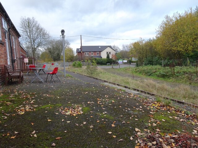
Endon railway station
Endon railway station is a disused railway station in Staffordshire. The Stoke–Leek line was opened by the North Staffordshire Railway (NSR) in 1867 and...

Endon and Stanley
Endon and Stanley is a civil parish in Staffordshire, England, containing the villages Endon and Stanley. The civil parish (replacing a civil parish containing...

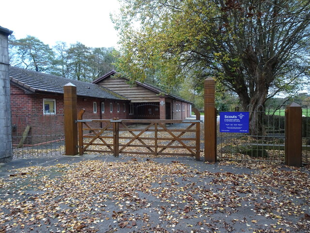
Endon High School
Endon High School is a coeducational secondary school located in Endon in the English county of Staffordshire.Endon Hall Primary School and St Lukes CE...

The Ashes, Endon
The Ashes near Endon in Staffordshire is a building of historical significance and is Grade II* listed on the English Heritage Register. It was built in...
Stanley, Staffordshire
Stanley is a small village in the Staffordshire Moorlands district of Staffordshire, England, about 4 miles (6.4 km) southwest of Leek. The village of...
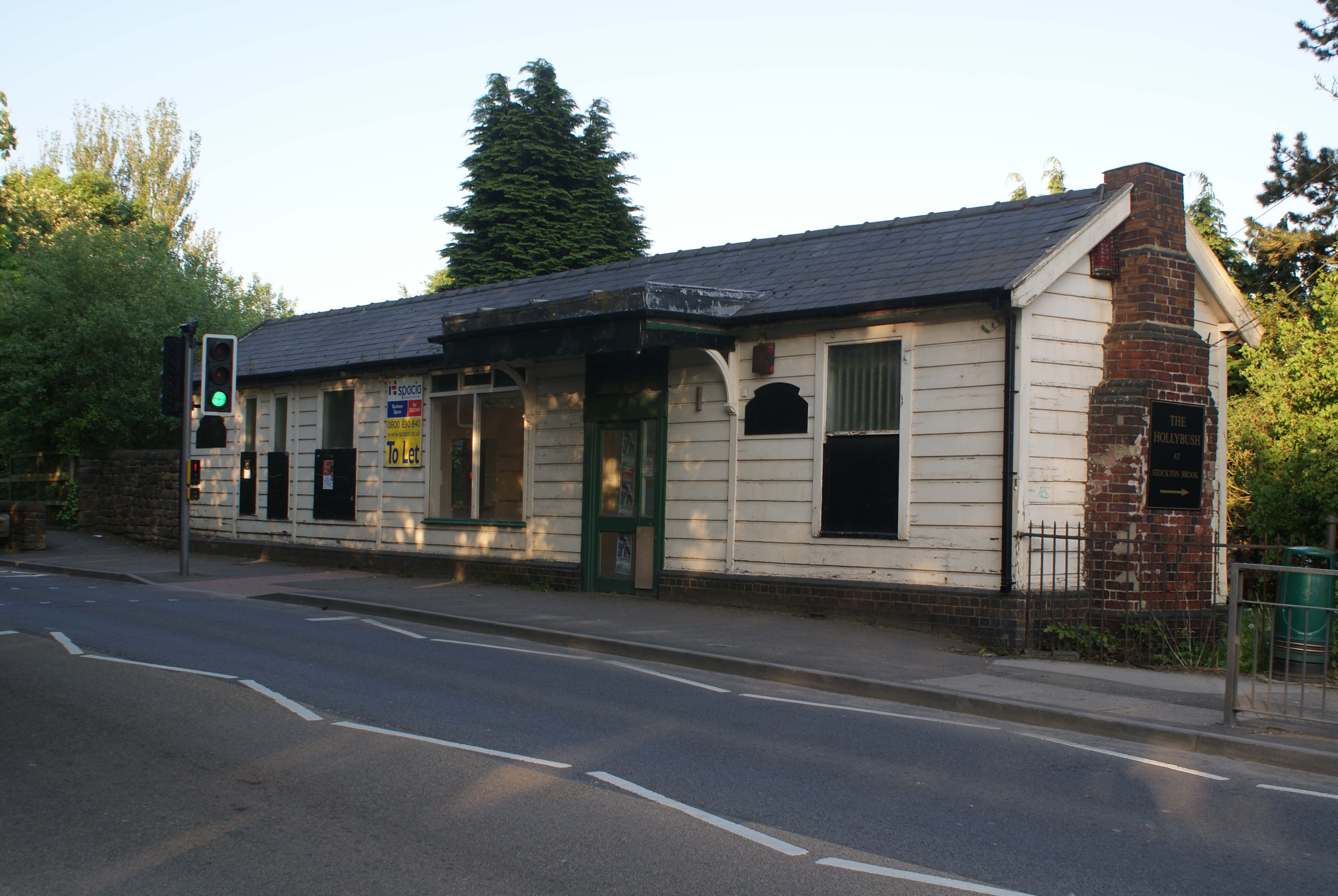
Stockton Brook railway station
Stockton Brook railway station is a disused railway station in Staffordshire. == History == The Stoke–Leek line was opened by the North Staffordshire Railway...
Nearby Amenities
Located within 500m of 53.078829,-2.109523Have you been to Endon and Stanley?
Leave your review of Endon and Stanley below (or comments, questions and feedback).