Stoney Wood

Wood, Forest in Staffordshire Staffordshire Moorlands

England

Stoney Wood

Lock 7, Railway Lock, Caldon Canal, 1978 The railway concerned crosses the bridge below the lock, with a truss pipe bridge beyond.
Lock 7, Railway Lock, Caldon Canal, 1978 Credit: Robin Webster

Stoney Wood, located in Staffordshire, England, is a picturesque woodland area known for its natural beauty and serene atmosphere. Spread across several acres, this forest is a popular destination for nature enthusiasts and those seeking tranquility away from the hustle and bustle of urban life.

The wood is characterized by its dense canopy of trees, primarily consisting of oak, birch, and beech. These towering trees create a cool and shaded environment, providing a habitat for a diverse range of flora and fauna. Bluebells, wild garlic, and ferns carpet the forest floor, adding to its enchanting appeal.

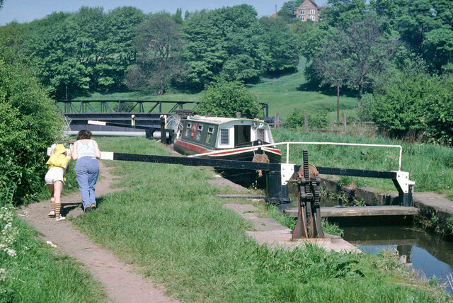
Stoney Wood is crisscrossed by a network of walking trails, offering visitors the opportunity to explore its various nooks and crannies. These paths wind through the wood, passing by babbling brooks and small ponds, creating a sense of calm and serenity. The sound of birdsong fills the air, further enhancing the natural ambiance.

The wood also boasts a rich history. It is believed to have been used as a hunting ground during medieval times and later served as a source of timber for local industries. Today, it stands as a protected area, allowing visitors to witness the beauty of nature in its undisturbed state.

Stoney Wood is easily accessible, located just a short distance from the town of Stafford. It attracts a wide range of visitors, from families looking for a peaceful picnic spot to hikers and birdwatchers seeking a closer connection with nature. With its tranquil atmosphere and natural beauty, Stoney Wood is a true gem of Staffordshire.

If you have any feedback on the listing, please let us know in the comments section below.
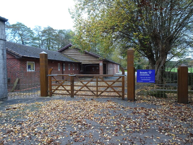
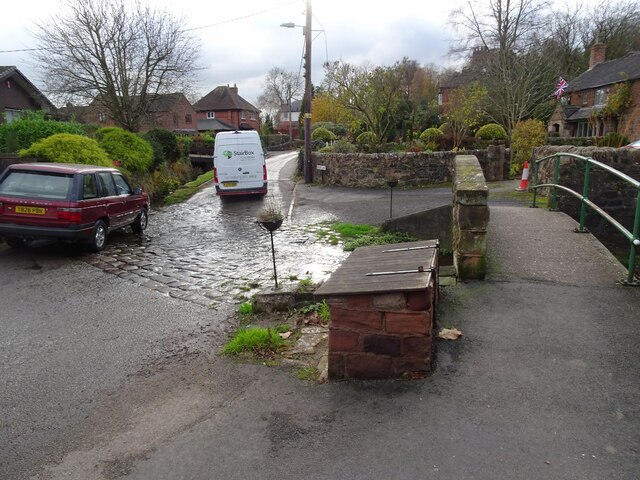
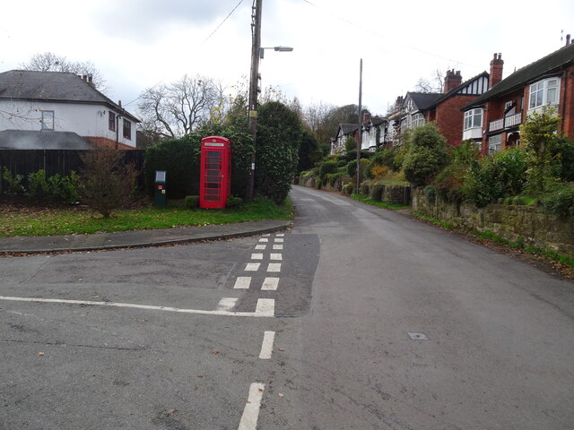
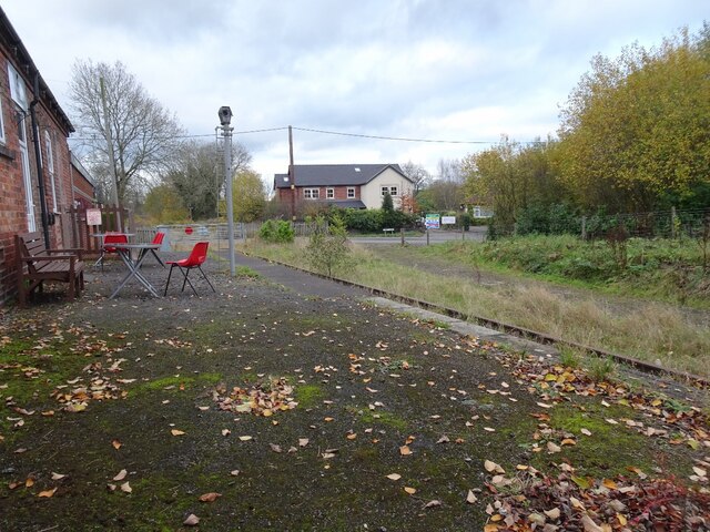
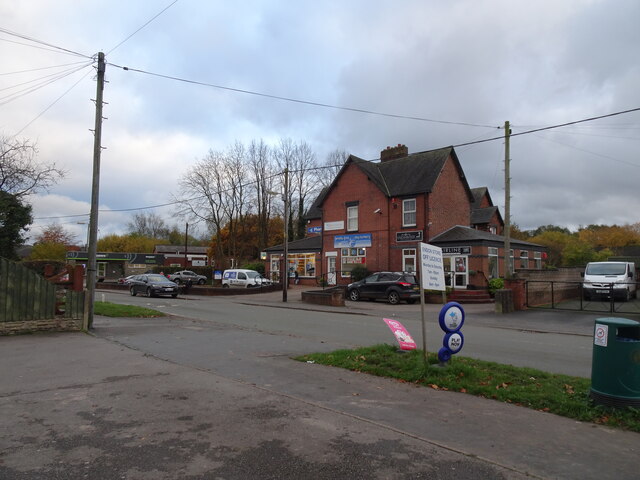
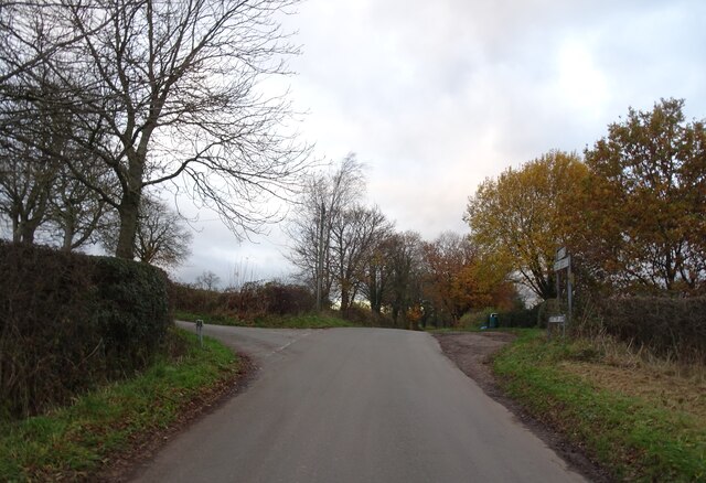
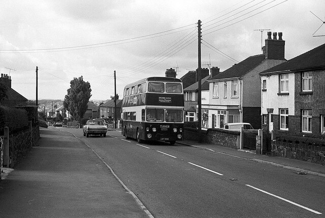
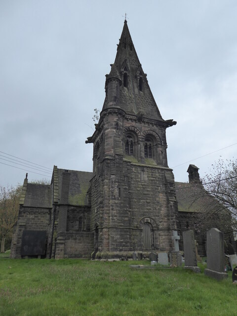
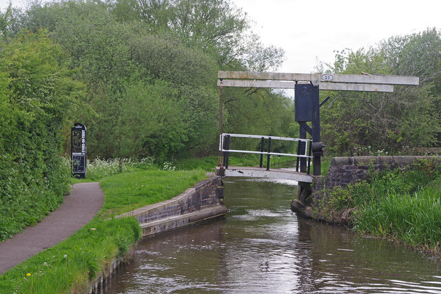
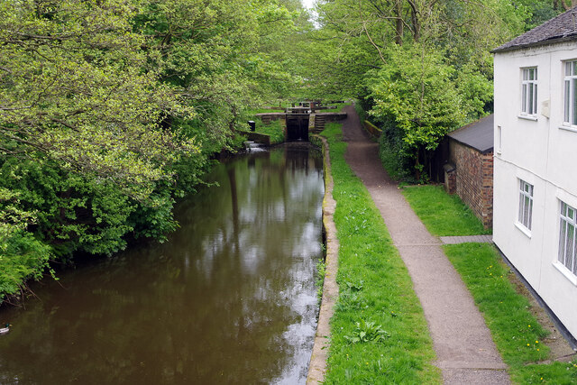
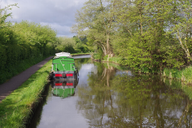
Stoney Wood Images

Images are sourced within 2km of 53.07631/-2.1197014 or Grid Reference SJ9253. Thanks to Geograph Open Source API. All images are credited.

Lock 7, Railway Lock, Caldon Canal, 1978 The railway concerned crosses the bridge below the lock, with a truss pipe bridge beyond.
Lock 7, Railway Lock, Caldon Canal, 1978
The railway concerned crosses the bridge below the lock, with a truss pipe bridge beyond.
Rose Cottages The view in The Village, in Endon Staffordshire.
Rose Cottages
The view in The Village, in Endon Staffordshire.
Endon Well The view from The Village, in Endon Staffordshire.
Endon Well
The view from The Village, in Endon Staffordshire.
The  Plough The view of the Toby Pub on the A53 in Endon Staffordshire.
The Plough
The view of the Toby Pub on the A53 in Endon Staffordshire.
1st Endon Scouts The view in the Village of Endon Staffordshire.
1st Endon Scouts
The view in the Village of Endon Staffordshire.
Ford in Endon The ford with footbridge in Brook Lane, Endon.
Ford in Endon
The ford with footbridge in Brook Lane, Endon.
Brook Lane The view of the empty phone box on Brook Lane in Endon.
Brook Lane
The view of the empty phone box on Brook Lane in Endon.
Railway View The view of the disused railway off Station Road in Endon.
Railway View
The view of the disused railway off Station Road in Endon.
Endon Chemist The view of Station Road in Endon.
Endon Chemist
The view of Station Road in Endon.
Holehouse Lane Junction The view from Gratton Lane near Endon.
Holehouse Lane Junction
The view from Gratton Lane near Endon.
High Lane, Brown Edge – 1970 Turner's were a small family bus company based in the village, typical of several small operators in the Potteries area serving what had been industrial communities. Both Smallthorne and Norton were essentially colliery villages.

Unlike many such operators which purchased second hand vehicles, the majority of Turner's fleet were purchased new, and were kept in very smart condition. Bus no.7 is a Daimler Fleetline with Northern Counties bodywork which entered service just a couple of months before this picture was taken.

This is one of a series of views featuring buses in the 60s, 70s, and 80s. <a title="https://www.geograph.org.uk/search.php?i=137652761" href="https://www.geograph.org.uk/search.php?i=137652761">Link</a>
High Lane, Brown Edge – 1970
Turner's were a small family bus company based in the village, typical of several small operators in the Potteries area serving what had been industrial communities. Both Smallthorne and Norton were essentially colliery villages. Unlike many such operators which purchased second hand vehicles, the majority of Turner's fleet were purchased new, and were kept in very smart condition. Bus no.7 is a Daimler Fleetline with Northern Counties bodywork which entered service just a couple of months before this picture was taken. This is one of a series of views featuring buses in the 60s, 70s, and 80s. Link
Brick Kiln Bridge No. 33, Caldon Canal
Brown Edge, St Anne
Brown Edge, St Anne
Direction Sign - Signpost on the A53 in Endon Located in Endon on a traffic island on the northwest side of the crossroads of the A53 Leek Road, B5051 Clay Lake and Station Road. Endon and Stanley parish. 4 arms and disc finial.

Milestone Society National ID: ST_SJ9253
Direction Sign - Signpost on the A53 in Endon
Located in Endon on a traffic island on the northwest side of the crossroads of the A53 Leek Road, B5051 Clay Lake and Station Road. Endon and Stanley parish. 4 arms and disc finial. Milestone Society National ID: ST_SJ9253
Long Butts Lift Bridge, Caldon Canal There has been an obvious change to this lift bridge since 2012, see <a href="https://www.geograph.org.uk/photo/3020778">SJ9052 : Long Butts Lift Bridge, Caldon Canal</a>. It is doubtful if the bridge is any busier however.
Long Butts Lift Bridge, Caldon Canal
There has been an obvious change to this lift bridge since 2012, see SJ9052 : Long Butts Lift Bridge, Caldon Canal. It is doubtful if the bridge is any busier however.
Caldon Canal, Stockton Brook There are five locks in the flight at Stockton Brook; this is the view from the A53 bridge to the second from top lock.
Caldon Canal, Stockton Brook
There are five locks in the flight at Stockton Brook; this is the view from the A53 bridge to the second from top lock.
Caldon Canal, Stockton Brook A narrowboat is moored by the towpath below the Stockton Brook flight - the only suitable moorings in the area.
Caldon Canal, Stockton Brook
A narrowboat is moored by the towpath below the Stockton Brook flight - the only suitable moorings in the area.
Stockton Brook Waterworks Large derelict buildings are always a sad sight, sitting there waiting for somebody to find a use for them. Here the old waterworks at Stockton Brook, reflected in the Caldon Canal on a sunny morning, looks quite benign but in the moonlight from this spot it can seem very spooky indeed. The building dates from  1884 when a deep well was bored in order to pump water from the underlying millstone grit formations which then served the growing population of the pottery towns. It has been disused for many years as this view from 2007 shows: <a href="https://www.geograph.org.uk/photo/597668">SJ9152 : Stockton Brook Waterworks, Stoke-on-Trent</a> although there have been various development proposals. In 2003 it was reported that the site had been purchased from Severn Trent Water and that the new owners intended to open a restaurant, cafe, conference rooms or possibly a wedding venue. None of that happened and the works were offered at auction in 2018 with 'development potential (subject to planning)' and a guide price of £400,000; there was interest but the property failed to reach its reserve price.
Stockton Brook Waterworks
Large derelict buildings are always a sad sight, sitting there waiting for somebody to find a use for them. Here the old waterworks at Stockton Brook, reflected in the Caldon Canal on a sunny morning, looks quite benign but in the moonlight from this spot it can seem very spooky indeed. The building dates from 1884 when a deep well was bored in order to pump water from the underlying millstone grit formations which then served the growing population of the pottery towns. It has been disused for many years as this view from 2007 shows: SJ9152 : Stockton Brook Waterworks, Stoke-on-Trent although there have been various development proposals. In 2003 it was reported that the site had been purchased from Severn Trent Water and that the new owners intended to open a restaurant, cafe, conference rooms or possibly a wedding venue. None of that happened and the works were offered at auction in 2018 with 'development potential (subject to planning)' and a guide price of £400,000; there was interest but the property failed to reach its reserve price.
Show me another place!

Stoney Wood is located at Grid Ref: SJ9253 (Lat: 53.07631, Lng: -2.1197014)

Administrative County: Staffordshire

District: Staffordshire Moorlands

Police Authority: Staffordshire

What 3 Words

///afflicted.hometown.trailing. Near Cheddleton, Staffordshire

Related Wikis

Endon High School

Endon High School is a coeducational secondary school located in Endon in the English county of Staffordshire.Endon Hall Primary School and St Lukes CE...

Endon

Endon is a village within the Staffordshire Moorlands district of Staffordshire, England. It is 4 miles (6.4 km) southwest of Leek and 6 miles (9.7 km...

Endon railway station

Endon railway station is a disused railway station in Staffordshire. The Stoke–Leek line was opened by the North Staffordshire Railway (NSR) in 1867 and...
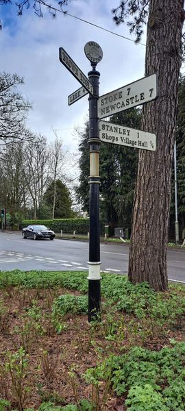
Endon and Stanley

Endon and Stanley is a civil parish in Staffordshire, England, containing the villages Endon and Stanley. The civil parish (replacing a civil parish containing...

Nearby Amenities

Located within 500m of 53.07631,-2.1197014
Bus Stop
Clay Lake Fountain
Bus: yes
Naptan AtcoCode: 3800C806400
Naptan Bearing: W
Naptan CommonName: Clay Lake Fountain
Naptan Indicator: Adj
Naptan Landmark: Fountain
Naptan PlusbusZoneRef: STOKEOT
Naptan Street: Clay Lake
Naptan Verified: no
Public Transport: platform
Source: naptan_import
Lat/Long: 53.0767396/-2.1142209
Bus Stop
Stoney Lane
Bus: yes
Naptan AtcoCode: 3800C806401
Naptan Bearing: N
Naptan CommonName: Stoney Lane
Naptan Indicator: Opp
Naptan Landmark: Hillswood Drive
Naptan PlusbusZoneRef: STOKEOT
Naptan Street: Clay Lake
Naptan Verified: no
Public Transport: platform
Source: naptan_import
Lat/Long: 53.0768565/-2.113791
Bus Stop
Endon High School
Bus: yes
Naptan AtcoCode: 3800C815400
Naptan Bearing: NE
Naptan CommonName: Endon High School
Naptan Indicator: Adj
Naptan Landmark: Endon High School
Naptan PlusbusZoneRef: STOKEOT
Naptan Street: Leek Rd
Naptan Verified: no
Public Transport: platform
Source: naptan_import
Lat/Long: 53.0733672/-2.1152745
Bus Stop
Endon High School
Bus: yes
Naptan AtcoCode: 3800C815401
Naptan Bearing: SW
Naptan CommonName: Endon High School
Naptan Indicator: Opp
Naptan Landmark: Endon High School
Naptan PlusbusZoneRef: STOKEOT
Naptan Street: Leek Road
Naptan Verified: no
Public Transport: platform
Source: naptan_import
Lat/Long: 53.0728907/-2.1153478
Bus Stop
The Little Croft
Bus: yes
Naptan AtcoCode: 3800C818501
Naptan Bearing: E
Naptan CommonName: The Little Croft
Naptan Indicator: Opp
Naptan Street: Clay Lake
Naptan Verified: no
Public Transport: platform
Source: naptan_import
Lat/Long: 53.0768278/-2.1155524
Bus Stop
Edge Lane
Bus: yes
Naptan AtcoCode: 3800C856402
Naptan Bearing: SW
Naptan CommonName: Edge Lane
Naptan Indicator: Adj
Naptan Landmark: Edge Ln
Naptan PlusbusZoneRef: STOKEOT
Naptan Street: Clay Lake
Naptan Verified: no
Public Transport: platform
Source: naptan_import
Lat/Long: 53.077519/-2.1253617
Bus Stop
High Point
Bus: yes
Naptan AtcoCode: 3800C856601
Naptan Bearing: SW
Naptan CommonName: High Point
Naptan Indicator: Adj
Naptan Landmark: Hough Farm
Naptan PlusbusZoneRef: STOKEOT
Naptan Street: Clay Lake
Naptan Verified: no
Public Transport: platform
Source: naptan_import
Lat/Long: 53.0786088/-2.1233794
Bus Stop
Hough Farm
Bus: yes
Naptan AtcoCode: 3800C856602
Naptan Bearing: W
Naptan BusStopType: CUS
Naptan CommonName: Hough Farm
Naptan Indicator: Opp
Naptan Landmark: Hough Farm
Naptan PlusbusZoneRef: STOKEOT
Naptan Street: Clay Lake
Naptan Verified: no
Public Transport: platform
Source: naptan_import
Lat/Long: 53.0784468/-2.1235581
Bus Stop
Greenways
Bus: yes
Naptan AtcoCode: 3800C856701
Naptan Bearing: SE
Naptan CommonName: Greenways
Naptan Indicator: Adj
Naptan Landmark: Greenways
Naptan PlusbusZoneRef: STOKEOT
Naptan Street: Clay Lake
Naptan Verified: no
Public Transport: platform
Source: naptan_import
Lat/Long: 53.0785048/-2.1196322
Bus Stop
Greenways
Bus: yes
Naptan AtcoCode: 3800C856702
Naptan Bearing: NW
Naptan BusStopType: CUS
Naptan CommonName: Greenways
Naptan Indicator: Adj
Naptan Landmark: Greenways
Naptan PlusbusZoneRef: STOKEOT
Naptan Street: Clay Lake
Naptan Verified: no
Public Transport: platform
Source: naptan_import
Lat/Long: 53.0786122/-2.1200505
Bus Stop
Methodist Church
Bus: yes
Naptan AtcoCode: 3800C891301
Naptan Bearing: N
Naptan CommonName: Methodist Church
Naptan Indicator: Opp
Naptan Landmark: Endon Methodist Church
Naptan PlusbusZoneRef: STOKEOT
Naptan Street: Leek Rd
Naptan Verified: no
Public Transport: platform
Source: naptan_import
Lat/Long: 53.076408/-2.1127748
Bus Stop
Methodist Church
Bus: yes
Naptan AtcoCode: 3800C891302
Naptan Bearing: S
Naptan CommonName: Methodist Church
Naptan Indicator: Adj
Naptan Landmark: Endon Methodist Church
Naptan PlusbusZoneRef: STOKEOT
Naptan Street: Leek Rd
Naptan Verified: no
Public Transport: platform
Source: naptan_import
Lat/Long: 53.0762552/-2.1127296
Turning Circle
Lat/Long: 53.0719359/-2.1189909
Leisure: playground
Lat/Long: 53.0804048/-2.1178279
Speed Camera
Maxspeed: 30 mph
Lat/Long: 53.0729468/-2.1154951
The data included in this document is from www.openstreetmap.org. The data is made available under ODbL.

Have you been to Stoney Wood?

Leave your review of Stoney Wood below (or comments, questions and feedback).