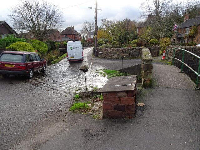
Endon Bank
Settlement in Staffordshire Staffordshire Moorlands
England
Endon Bank
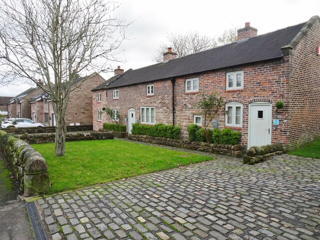
Endon Bank, located in the county of Staffordshire, England, is a charming village situated near the beautiful Peak District National Park. It is a part of the Staffordshire Moorlands district and lies approximately 6 miles northeast of the city of Stoke-on-Trent. With its picturesque setting, Endon Bank offers a tranquil and scenic environment for residents and visitors alike.
The village is renowned for its stunning natural surroundings, with rolling hills, lush green fields, and a winding river that adds to its charm. Endon Bank is particularly popular among outdoor enthusiasts, as it provides excellent opportunities for walking, cycling, and exploring the nearby Peak District.
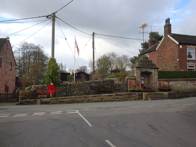
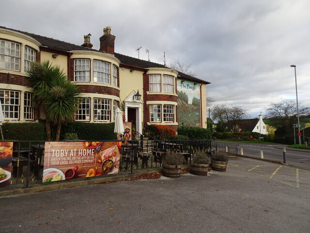
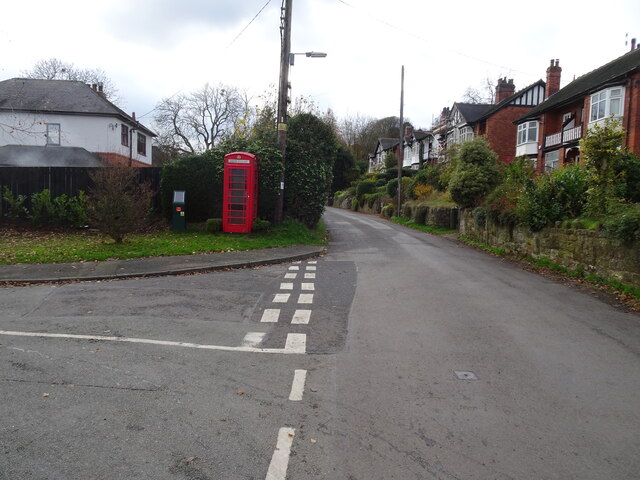
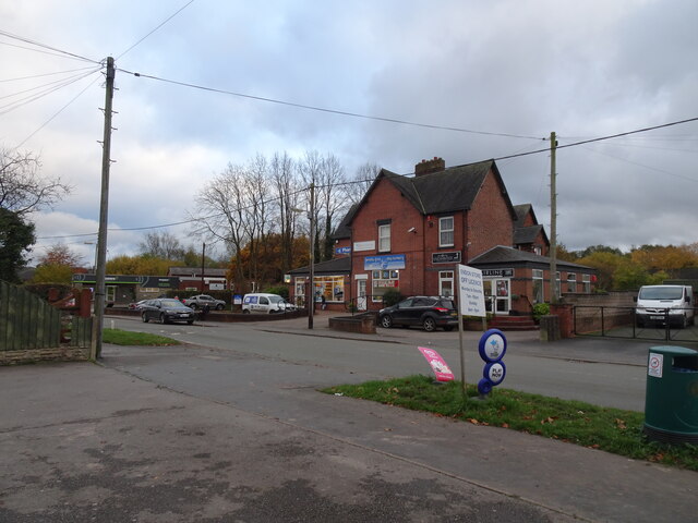
In terms of amenities, the village boasts a range of facilities to cater to the needs of its residents. These include a primary school, a village hall, a library, and a number of local shops and businesses. There are also several pubs and restaurants in the area, offering a variety of dining options.
Endon Bank is well-connected to neighboring towns and cities, with regular bus services and easy access to major road networks. The nearby city of Stoke-on-Trent provides further amenities, including shopping centers, entertainment venues, and cultural attractions.
Overall, Endon Bank offers a peaceful and idyllic setting for those seeking a rural retreat, while still providing convenient access to nearby urban areas. Its natural beauty, combined with its community spirit and range of amenities, makes it a highly desirable place to live or visit in Staffordshire.
If you have any feedback on the listing, please let us know in the comments section below.
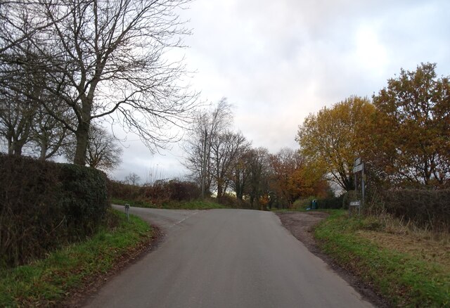
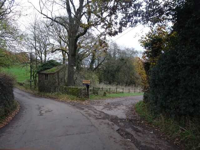
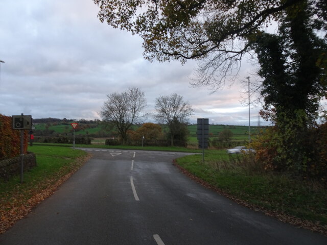
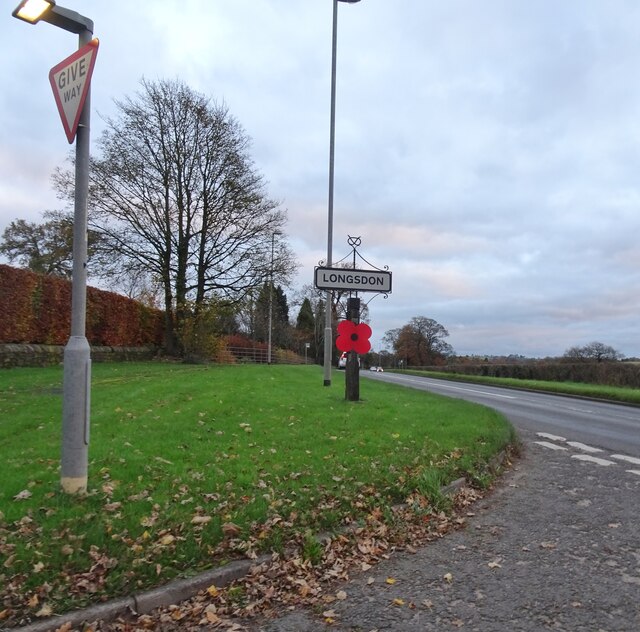
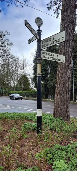
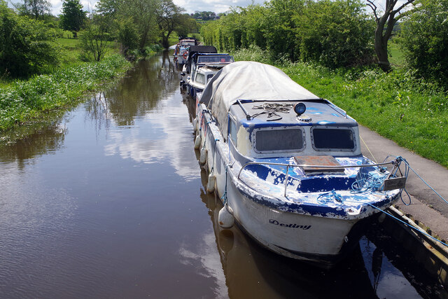
Endon Bank Images
Images are sourced within 2km of 53.081805/-2.108948 or Grid Reference SJ9253. Thanks to Geograph Open Source API. All images are credited.


Endon Bank is located at Grid Ref: SJ9253 (Lat: 53.081805, Lng: -2.108948)
Administrative County: Staffordshire
District: Staffordshire Moorlands
Police Authority: Staffordshire
What 3 Words
///heave.cubic.saving. Near Cheddleton, Staffordshire
Nearby Locations
Related Wikis

St Luke's Church, Endon
St Luke's Church is an Anglican church in Endon, Staffordshire, England, and in the Diocese of Lichfield. The building, dating originally from about 1720...
Endon
Endon is a village within the Staffordshire Moorlands district of Staffordshire, England. It is 4 miles (6.4 km) southwest of Leek and 6 miles (9.7 km...

The Ashes, Endon
The Ashes near Endon in Staffordshire is a building of historical significance and is Grade II* listed on the English Heritage Register. It was built in...

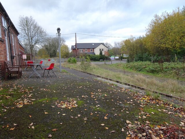
Endon railway station
Endon railway station is a disused railway station in Staffordshire. The Stoke–Leek line was opened by the North Staffordshire Railway (NSR) in 1867 and...
Nearby Amenities
Located within 500m of 53.081805,-2.108948Have you been to Endon Bank?
Leave your review of Endon Bank below (or comments, questions and feedback).