Eathorpe

Civil Parish in Warwickshire Warwick

England

Eathorpe

Ivy-clad trees on a frosty morning The public footpath through these water meadows along the River Leam crosses a tiny stream at this gap in the hedgerow. The unnamed stream is the boundary between the civil parishes of Princethorpe and Frankton.
Ivy-clad trees on a frosty morning Credit: Greg Fitchett

Eathorpe is a civil parish located in the county of Warwickshire, England. Situated approximately six miles southeast of the town of Leamington Spa, Eathorpe is a small and picturesque village surrounded by beautiful countryside. The parish covers an area of around 3 square miles and has a population of approximately 300 residents.

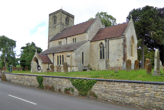
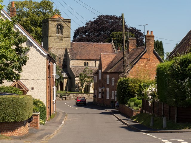
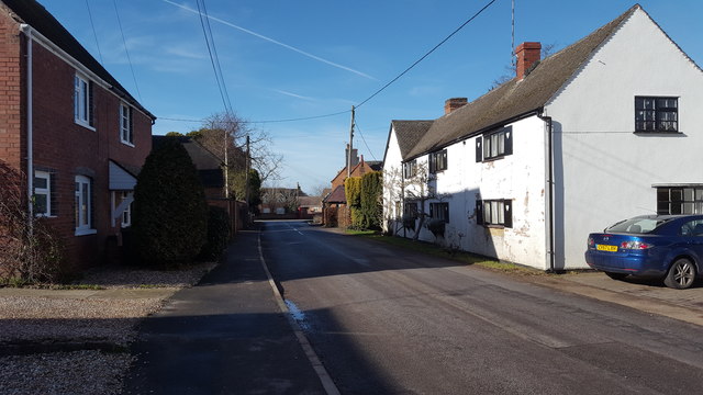
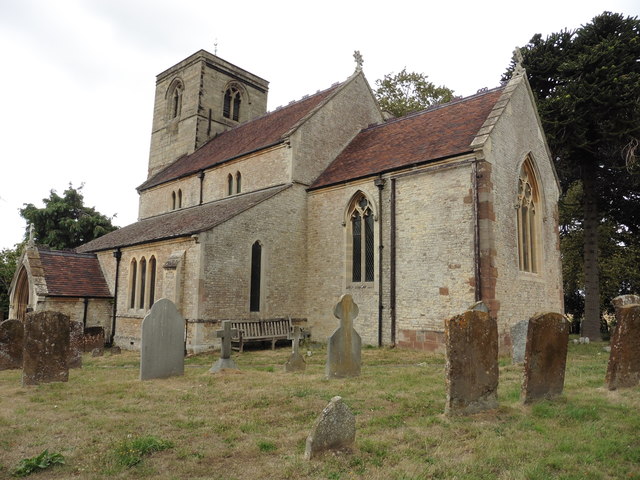
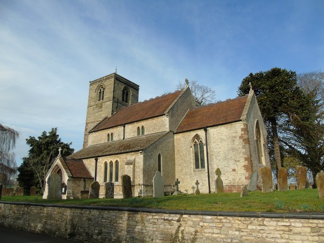
The village itself is known for its charming and well-preserved architecture, with many traditional thatched-roof cottages and historic buildings dating back to the 17th and 18th centuries. The parish church, St. Peter's, is a notable landmark, featuring a striking medieval tower and stained glass windows.

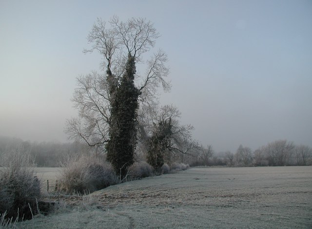
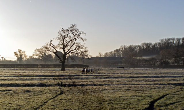
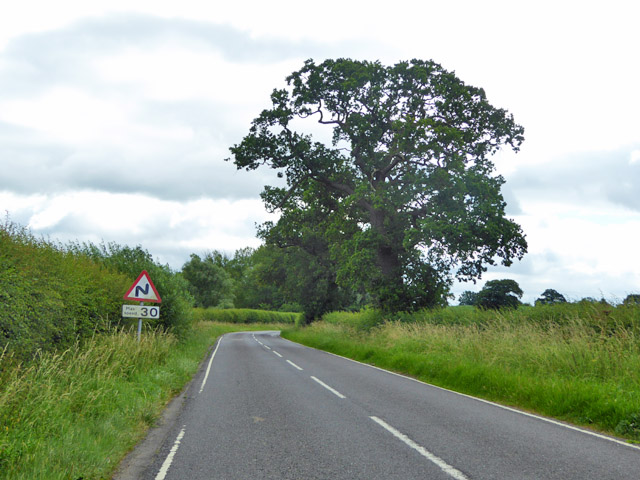
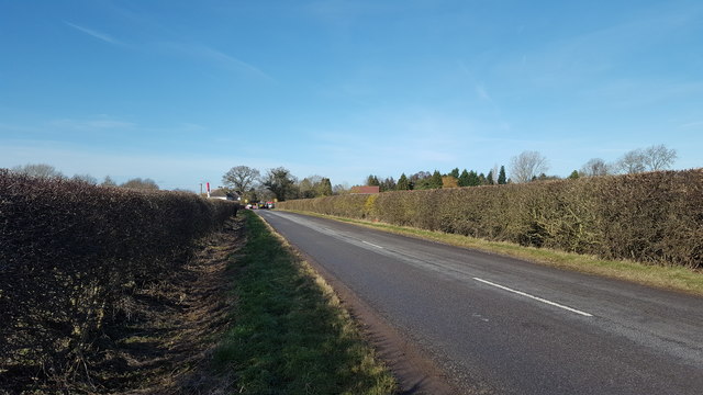
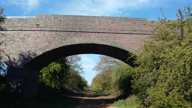
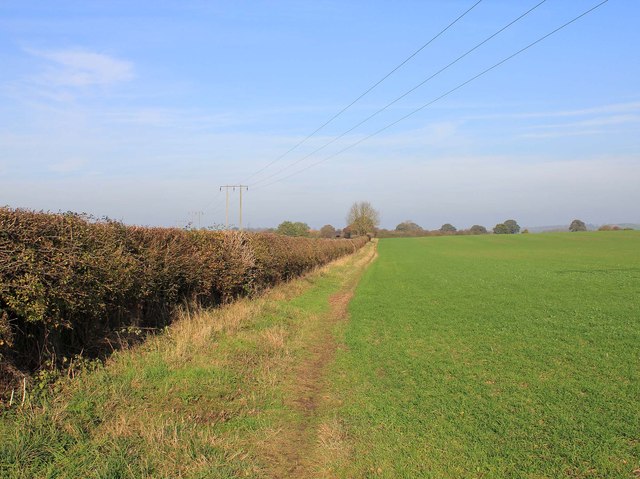
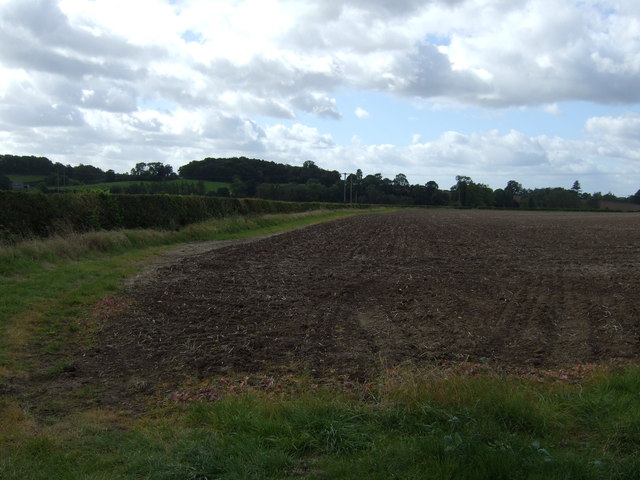
Eathorpe is a predominantly rural area, and the landscape is characterized by rolling hills, meadows, and farmland. The village is surrounded by several nature reserves and green spaces, offering plenty of opportunities for walking, cycling, and enjoying the outdoors.

Although small in size, Eathorpe has a strong sense of community, with a village hall that hosts various events and activities throughout the year, fostering a close-knit and friendly atmosphere. The village also has a primary school, providing education for local children.

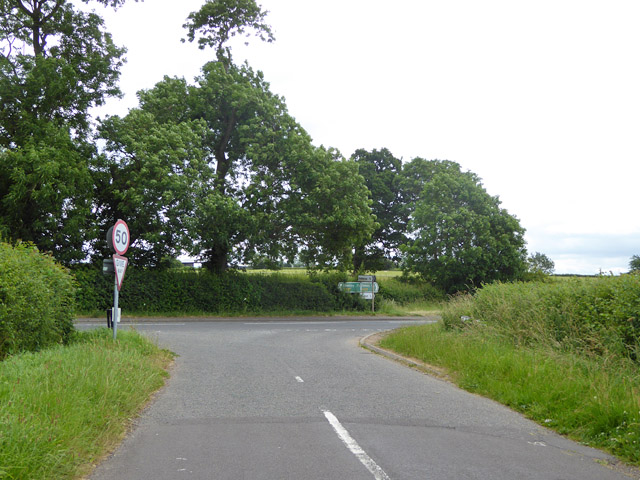
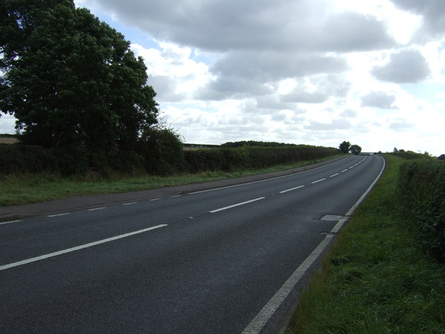
The location of Eathorpe offers easy access to nearby towns and cities, with Leamington Spa providing a range of amenities including shops, restaurants, and leisure facilities. The village is well-connected to the wider region via road links, making it an attractive place to live for those seeking a peaceful and rural lifestyle within reach of urban conveniences.

If you have any feedback on the listing, please let us know in the comments section below.
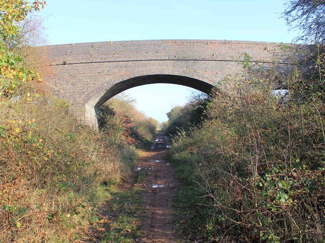
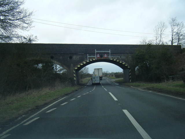
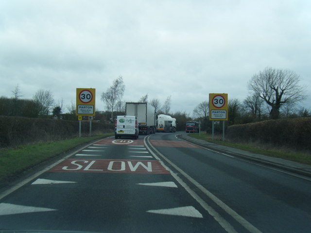
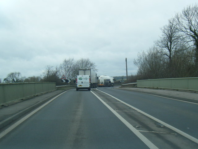
Eathorpe Images

Images are sourced within 2km of 52.317542/-1.420645 or Grid Reference SP3968. Thanks to Geograph Open Source API. All images are credited.

Ivy-clad trees on a frosty morning The public footpath through these water meadows along the River Leam crosses a tiny stream at this gap in the hedgerow. The unnamed stream is the boundary between the civil parishes of Princethorpe and Frankton.
Ivy-clad trees on a frosty morning
The public footpath through these water meadows along the River Leam crosses a tiny stream at this gap in the hedgerow. The unnamed stream is the boundary between the civil parishes of Princethorpe and Frankton.
Following the sheep Sheep follow the public footpath across the ridge and furrow pasture towards Marton Bridge on a frosty morning.
Following the sheep
Sheep follow the public footpath across the ridge and furrow pasture towards Marton Bridge on a frosty morning.
Barn Lane meets A423 Oxford Road The lane is a short cut for those wishing to turn right from the B4455 into the A423.
Barn Lane meets A423 Oxford Road
The lane is a short cut for those wishing to turn right from the B4455 into the A423.
Marton church St. Esprit's is a grade II*(star) listed building.
Marton church
St. Esprit's is a grade II*(star) listed building.
Bends ahead on Birdingbury Road
Village High Street and church, Marton The church of St.Esprit is viewed from High Street at the junction with Shepherd Street. Several typical Warwickshire red brick cottages line the quiet village street, which has no shops.
Village High Street and church, Marton
The church of St.Esprit is viewed from High Street at the junction with Shepherd Street. Several typical Warwickshire red brick cottages line the quiet village street, which has no shops.
Entering Marton from the east Burlington Road on its approach to Marton.
Entering Marton from the east
Burlington Road on its approach to Marton.
Marton village Houses in the centre of the village.
Marton village
Houses in the centre of the village.
Marton, Warwickshire, St Esprit
Marton Church
Marton Church
Bridge over Lias Line Farm bridge over the disused Rugby to Leamington Railway Line
Bridge over Lias Line
Farm bridge over the disused Rugby to Leamington Railway Line
Bridleway to Marton Looking NNE along the bridleway towards Tithe Farm and Marton.
Bridleway to Marton
Looking NNE along the bridleway towards Tithe Farm and Marton.
Bridge over dismantled railway Looking ENE along the trackbed of the now dismantled Leamington Spa to Rugby railway. The bridge carries a farm track and a bridleway over the railway. Although the trackbed is not an official right of way, it is used as such by walkers and cyclists, although it is very wet and muddy in many places. There is an easy way down from the bridleway onto the trackbed on the far side of the bridge, but on foot only.
Bridge over dismantled railway
Looking ENE along the trackbed of the now dismantled Leamington Spa to Rugby railway. The bridge carries a farm track and a bridleway over the railway. Although the trackbed is not an official right of way, it is used as such by walkers and cyclists, although it is very wet and muddy in many places. There is an easy way down from the bridleway onto the trackbed on the far side of the bridge, but on foot only.
Oxford Road passing under disused railway bridge
Marton village boundary sign
Coventry Road at Marton Bridge
Farmland off Barn Lane
Oxford Road (A423) Heading south.
Oxford Road (A423)
Heading south.
Show me another place!

Eathorpe is located at Grid Ref: SP3968 (Lat: 52.317542, Lng: -1.420645)

Administrative County: Warwickshire

District: Warwick

Police Authority: Warwickshire

What 3 Words

///loving.myths.evoke. Near Long Itchington, Warwickshire

Related Wikis

Eathorpe

Eathorpe is a small village and civil parish five miles east of Leamington Spa, in Warwickshire, England. The parish is part of the electoral ward of Cubbington...

River Itchen, Warwickshire

The River Itchen flows through east Warwickshire in England. It is a small river, about 18 miles (29 km) long, and its general course is from south to...

Marton, Warwickshire

Marton is a village and civil parish in Warwickshire, England. The parish is within the Borough of Rugby and in the 2011 Census' had a population of 484...

Wappenbury

Wappenbury is a small village and civil parish in the English county of Warwickshire. Located on the north bank of the River Leam Wappenbury is almost...

Princethorpe

Princethorpe is a village and civil parish in the Rugby district of Warwickshire, England. In the 2011 census the parish had a population 376, increasing...

Marton railway station (Warwickshire)

Marton railway station was a railway station serving Marton in the English county of Warwickshire on the Rugby to Leamington line. Among the many schemes...

Princethorpe College

Princethorpe College is a Catholic independent day school located in Princethorpe, near Rugby, Warwickshire, England. Princethorpe College opened in September...

Hunningham

Hunningham is a small village and civil parish in Warwickshire, England. It is 3 miles to the north-east of Leamington Spa, within the Radford Semele ward...

Nearby Amenities

Located within 500m of 52.317542,-1.420645
Eathorpe
Is In: Warwicshire
Place: village
Wikidata: Q5331271
Lat/Long: 52.3188956/-1.4274887
Bus Stop
Bus Shelter
Bus: yes
Naptan AtcoCode: 4200F021000
Naptan Bearing: S
Naptan CommonName: Bus Shelter
Naptan Indicator: Adj
Naptan NaptanCode: warapawa
Naptan Street: Main Street
Public Transport: platform
Route Ref: 538
Source: naptan_import
Lat/Long: 52.3191062/-1.4270932
Bus Stop
Green
Bus: yes
Naptan AtcoCode: 4200F021100
Naptan Bearing: W
Naptan CommonName: Green
Naptan Indicator: Adj
Naptan NaptanCode: warapawd
Naptan Street: Main Street
Naptan Verified: no
Public Transport: platform
Source: naptan_import
Lat/Long: 52.3172078/-1.4253569
Bus Stop
Old Post Office
Bus: yes
Naptan AtcoCode: 4200F021101
Naptan Bearing: N
Naptan CommonName: Old Post Office
Naptan Indicator: Opp
Naptan NaptanCode: warapawg
Naptan Street: Main Road
Public Transport: platform
Route Ref: 538
Source: naptan_import
Lat/Long: 52.3191138/-1.4272102
Post Box
Brand: Royal Mail
Brand Wikidata: Q638098
Collection Times: Mo-Fr 16:15; Sa 11:00
Operator: Royal Mail
Operator Wikidata: Q638098
Post Box Type: lamp
Ref: CV33 171
Royal Cypher: EIIR
Royal Cypher Wikidata: Q33102113
Source: survey
Lat/Long: 52.3191833/-1.427061
Grit Bin
Source: survey
Lat/Long: 52.3192676/-1.4270453
Defibrillator
Booth: K6
Covered: booth
Defibrillator Location: Inside red phone box in Eathorpe, opposite playground.
Disused Amenity: telephone
Emergency: defibrillator
Man Made: telephone_box
Source: survey
Lat/Long: 52.3193033/-1.427143
Operator: National Grid
Source: survey
Utility: gas
Lat/Long: 52.3175401/-1.4278605
Operator: National Grid Electricity Distribution
Power: pole
Lat/Long: 52.3162086/-1.4138085
The data included in this document is from www.openstreetmap.org. The data is made available under ODbL.

Have you been to Eathorpe?

Leave your review of Eathorpe below (or comments, questions and feedback).