Eaton
Civil Parish in Nottinghamshire Bassetlaw
England
Eaton
Eaton is a civil parish located in Nottinghamshire, England. It is situated approximately 4 miles south of the historic market town of Retford. The parish covers an area of about 2.5 square miles and has a population of around 500 people.
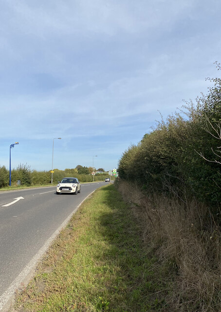
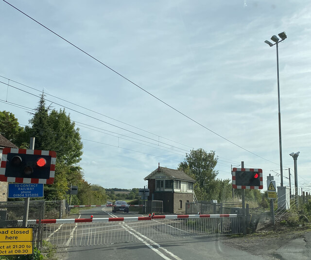
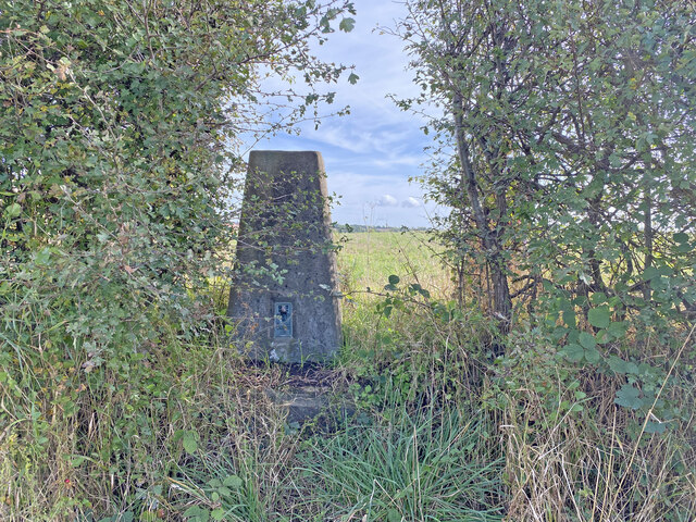
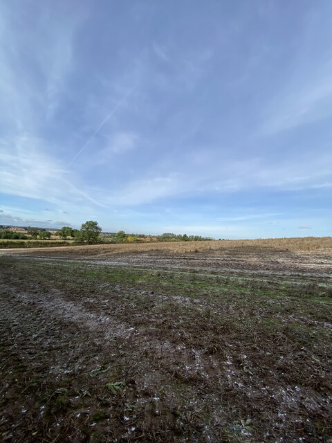
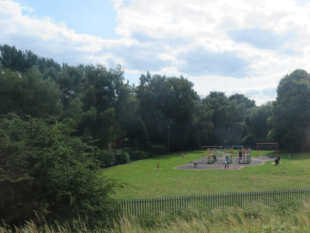
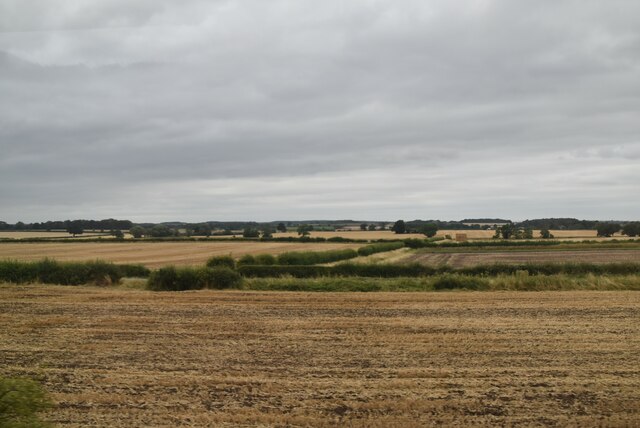
Eaton is a predominantly rural area, characterized by its picturesque countryside and charming village atmosphere. The landscape is dotted with traditional English cottages, farms, and fields, creating a tranquil and idyllic setting. The parish is surrounded by rolling hills and lush greenery, offering stunning views and ample opportunities for outdoor activities such as walking, cycling, and horse riding.
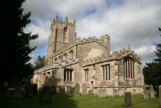
The heart of Eaton is the St. Denys Church, a beautiful medieval building that serves as a focal point for the community. The church dates back to the 12th century and features stunning architectural details, including a Norman doorway and a 14th-century octagonal font.
Despite its small size, Eaton has a vibrant community spirit. The parish organizes various events and activities throughout the year, such as summer fetes, community gatherings, and charity fundraisers. The village also has a primary school, providing education for local children.
Eaton benefits from its proximity to Retford, which offers a range of amenities including shops, restaurants, and leisure facilities. The town also provides excellent transport links, with regular train services to nearby cities such as Nottingham and Sheffield.
Overall, Eaton, Nottinghamshire, is a charming and peaceful rural parish that offers a close-knit community, stunning natural scenery, and easy access to nearby amenities.
If you have any feedback on the listing, please let us know in the comments section below.
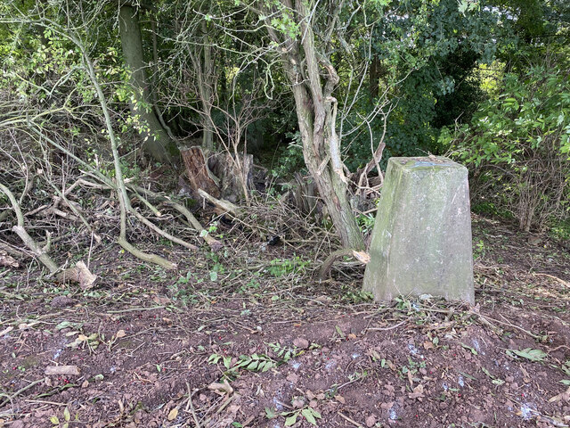
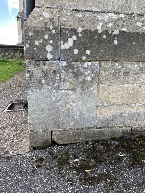
Eaton Images
Images are sourced within 2km of 53.294511/-0.935098 or Grid Reference SK7178. Thanks to Geograph Open Source API. All images are credited.


Eaton is located at Grid Ref: SK7178 (Lat: 53.294511, Lng: -0.935098)
Administrative County: Nottinghamshire
District: Bassetlaw
Police Authority: Nottinghamshire
What 3 Words
///inches.zealous.ends. Near Retford, Nottinghamshire
Related Wikis

All Saints' Church, Eaton
All Saints' Church is a Grade II listed parish church in the Church of England in Eaton, Nottinghamshire. == History == The church was rebuilt 1860 in...

Jamia Al-Karam
Jamia Al-Karam, (Arabic: جامعة الکرم) is an Islamic institution Islamic Studies College located in Eaton in 30-acre premises. The Darul Uloom is managed...
Eaton, Nottinghamshire
Eaton is a village and civil parish in Nottinghamshire, England. According to the 2001 census it had a population of 105, increasing to 233 at the 2011...
Gamston, Bassetlaw
Gamston is a village and civil parish four miles south of Retford in the English county of Nottinghamshire. The village lies on the A638 road between Retford...

All Hallows' Church, Ordsall
All Hallows' Church is a Grade II* listed parish church in the Church of England in Ordsall, Nottinghamshire. == History == The church dates from the 13th...
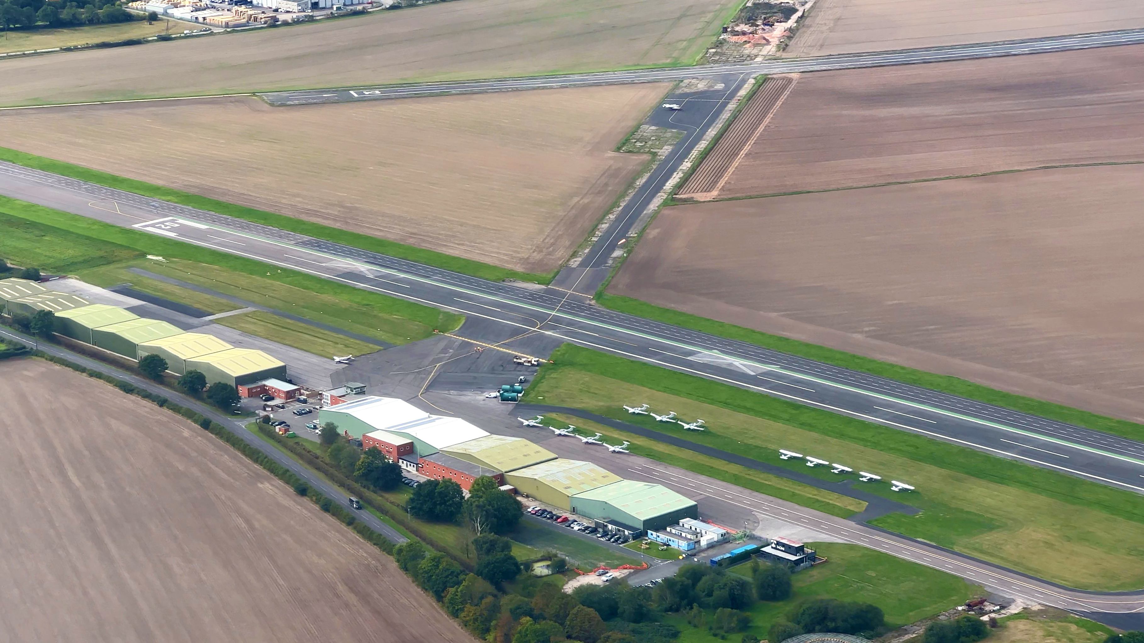
Retford Gamston Airport
Retford Gamston Airport (ICAO: EGNE) is a small English airport, located 2 NM (3.7 km; 2.3 mi) south of Retford and close to Gamston, Bassetlaw in Nottinghamshire...
Ordsall, Nottinghamshire
Ordsall is an area and former civil parish in Retford, in the Bassetlaw district of Nottinghamshire, England. The Bassetlaw ward of the same name had a...
St Peter's Church, Gamston
St Peter's Church, Gamston is a Grade I listed parish church in the Church of England in Gamston, Bassetlaw. == History == The church dates from the 13th...
Nearby Amenities
Located within 500m of 53.294511,-0.935098Have you been to Eaton?
Leave your review of Eaton below (or comments, questions and feedback).