Barratt's Brake

Wood, Forest in Warwickshire Warwick

England

Barratt's Brake

Ivy-clad trees on a frosty morning The public footpath through these water meadows along the River Leam crosses a tiny stream at this gap in the hedgerow. The unnamed stream is the boundary between the civil parishes of Princethorpe and Frankton.
Ivy-clad trees on a frosty morning Credit: Greg Fitchett

Barratt's Brake is a woodland in Warwickshire, England, known for its serene and picturesque surroundings. Situated near the village of Wood and nestled within the heart of the forest, it offers visitors a tranquil escape from the hustle and bustle of everyday life.

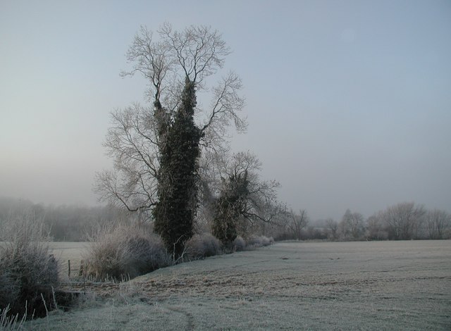
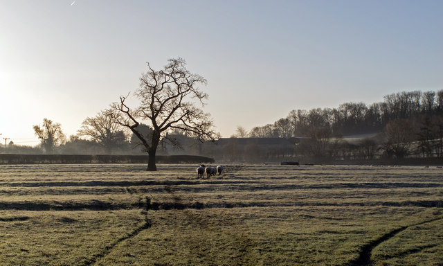
Covering an area of approximately 50 acres, Barratt's Brake is home to a diverse range of flora and fauna. The woodland is predominantly comprised of native species such as oak, birch, and beech trees, which provide a rich habitat for various woodland animals and birds.

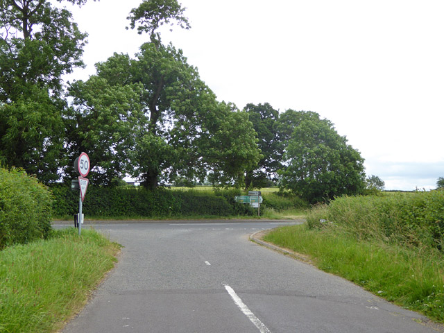
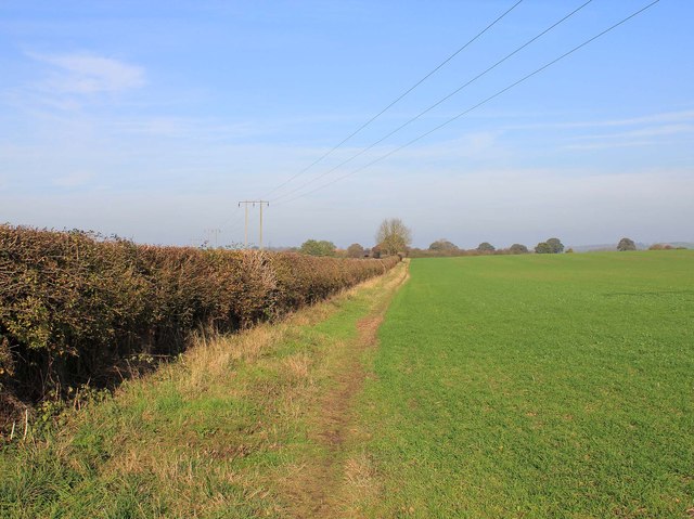
Walking through Barratt's Brake, visitors can enjoy the peaceful ambiance and immerse themselves in the natural beauty of the surroundings. The woodland boasts a network of well-maintained footpaths and trails, making it an ideal destination for walkers, hikers, and nature enthusiasts.

Birdwatchers will find Barratt's Brake particularly appealing, as it attracts a wide variety of bird species throughout the year. From woodpeckers to finches, visitors can observe these beautiful creatures in their natural habitat and listen to their melodic songs.

Aside from its natural beauty, Barratt's Brake also offers recreational facilities for visitors. There are picnic areas and benches scattered throughout the woodland, providing the perfect spot for families and friends to enjoy a leisurely outdoor lunch or simply relax amidst the peaceful surroundings.

Overall, Barratt's Brake in Warwickshire is a haven for those seeking solace in nature. With its diverse wildlife, well-maintained trails, and tranquil ambiance, it is a must-visit destination for anyone wishing to experience the beauty of a Warwickshire woodland.

If you have any feedback on the listing, please let us know in the comments section below.

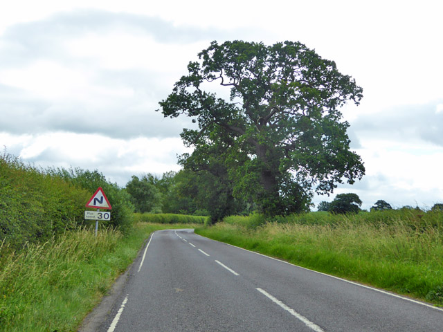
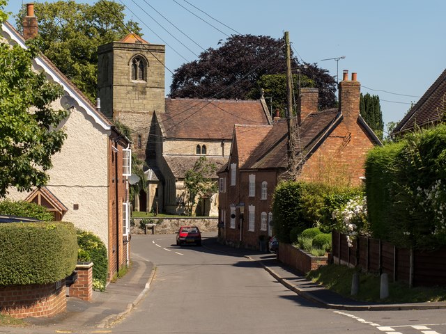
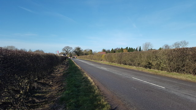
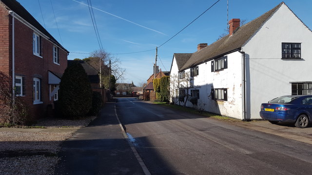
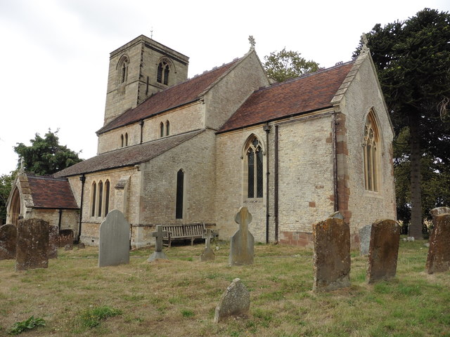
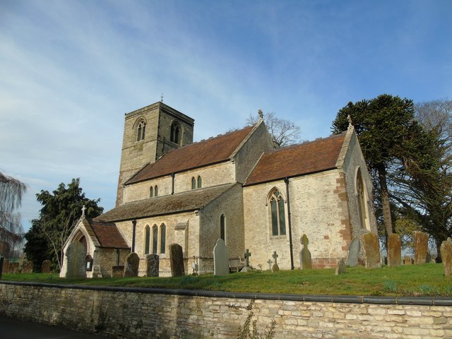
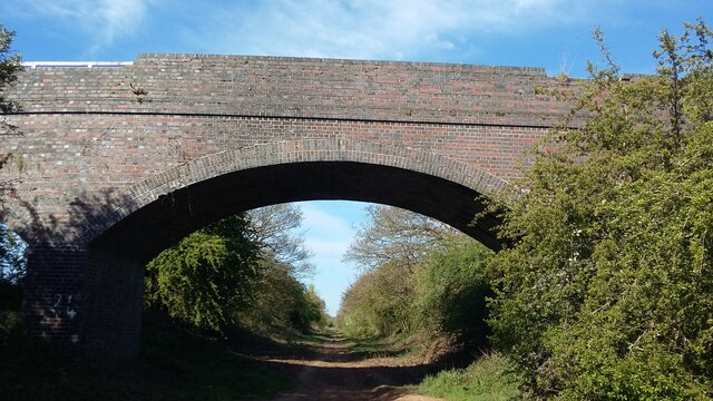
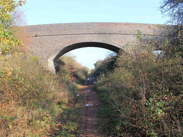
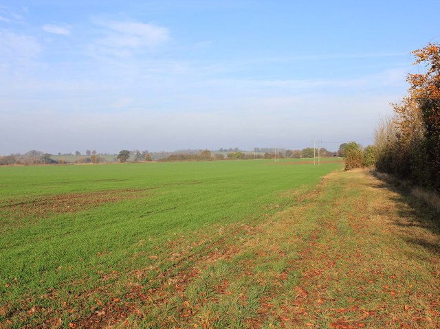
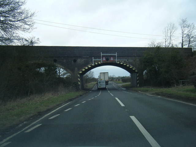
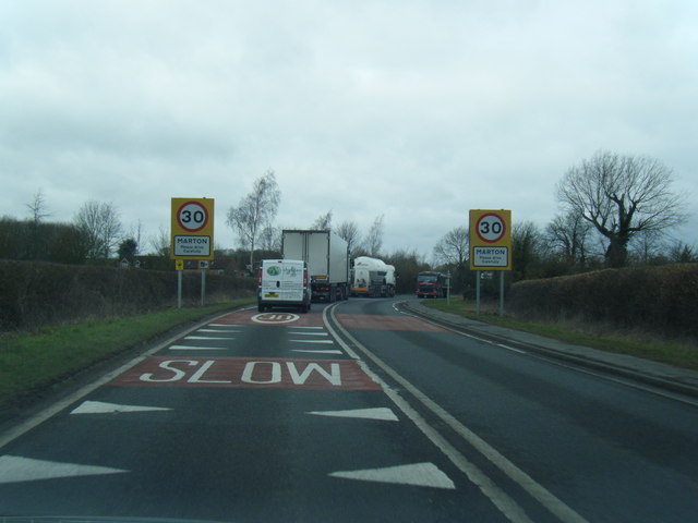
Barratt's Brake Images

Images are sourced within 2km of 52.313658/-1.4173799 or Grid Reference SP3968. Thanks to Geograph Open Source API. All images are credited.

Ivy-clad trees on a frosty morning The public footpath through these water meadows along the River Leam crosses a tiny stream at this gap in the hedgerow. The unnamed stream is the boundary between the civil parishes of Princethorpe and Frankton.
Ivy-clad trees on a frosty morning
The public footpath through these water meadows along the River Leam crosses a tiny stream at this gap in the hedgerow. The unnamed stream is the boundary between the civil parishes of Princethorpe and Frankton.
Following the sheep Sheep follow the public footpath across the ridge and furrow pasture towards Marton Bridge on a frosty morning.
Following the sheep
Sheep follow the public footpath across the ridge and furrow pasture towards Marton Bridge on a frosty morning.
Barn Lane meets A423 Oxford Road The lane is a short cut for those wishing to turn right from the B4455 into the A423.
Barn Lane meets A423 Oxford Road
The lane is a short cut for those wishing to turn right from the B4455 into the A423.
Marton church St. Esprit's is a grade II*(star) listed building.
Marton church
St. Esprit's is a grade II*(star) listed building.
Bends ahead on Birdingbury Road
Village High Street and church, Marton The church of St.Esprit is viewed from High Street at the junction with Shepherd Street. Several typical Warwickshire red brick cottages line the quiet village street, which has no shops.
Village High Street and church, Marton
The church of St.Esprit is viewed from High Street at the junction with Shepherd Street. Several typical Warwickshire red brick cottages line the quiet village street, which has no shops.
Entering Marton from the east Burlington Road on its approach to Marton.
Entering Marton from the east
Burlington Road on its approach to Marton.
Marton village Houses in the centre of the village.
Marton village
Houses in the centre of the village.
Marton, Warwickshire, St Esprit
Marton Church
Marton Church
Bridge over Lias Line Farm bridge over the disused Rugby to Leamington Railway Line
Bridge over Lias Line
Farm bridge over the disused Rugby to Leamington Railway Line
Bridleway to Marton Looking NNE along the bridleway towards Tithe Farm and Marton.
Bridleway to Marton
Looking NNE along the bridleway towards Tithe Farm and Marton.
Bridge over dismantled railway Looking ENE along the trackbed of the now dismantled Leamington Spa to Rugby railway. The bridge carries a farm track and a bridleway over the railway. Although the trackbed is not an official right of way, it is used as such by walkers and cyclists, although it is very wet and muddy in many places. There is an easy way down from the bridleway onto the trackbed on the far side of the bridge, but on foot only.
Bridge over dismantled railway
Looking ENE along the trackbed of the now dismantled Leamington Spa to Rugby railway. The bridge carries a farm track and a bridleway over the railway. Although the trackbed is not an official right of way, it is used as such by walkers and cyclists, although it is very wet and muddy in many places. There is an easy way down from the bridleway onto the trackbed on the far side of the bridge, but on foot only.
Bridleway north of Newfields Farm View NNE along the bridleway towards Tithe Farm and Marton.
Bridleway north of Newfields Farm
View NNE along the bridleway towards Tithe Farm and Marton.
Oxford Road passing under disused railway bridge
Marton village boundary sign
Coventry Road at Marton Bridge
Farmland off Barn Lane
Show me another place!

Barratt's Brake is located at Grid Ref: SP3968 (Lat: 52.313658, Lng: -1.4173799)

Administrative County: Warwickshire

District: Warwick

Police Authority: Warwickshire

What 3 Words

///station.releasing.remarked. Near Long Itchington, Warwickshire

Related Wikis

Nearby Amenities

Located within 500m of 52.313658,-1.4173799
Operator: National Grid Electricity Distribution
Power: pole
Lat/Long: 52.3162086/-1.4138085
Operator: National Grid Electricity Distribution
Power: pole
Lat/Long: 52.3162988/-1.4128456
Operator: National Grid Electricity Distribution
Power: pole
Lat/Long: 52.3164103/-1.4117351
The data included in this document is from www.openstreetmap.org. The data is made available under ODbL.

Have you been to Barratt's Brake?

Leave your review of Barratt's Brake below (or comments, questions and feedback).