Durweston

Civil Parish in Dorset North Dorset

England

Durweston

Old Bridge Marker beside the A357 on Durweston Bridge Bridge Marker set in the south parapet of Durweston Bridge below DO_TRADURbr. On the boundary of Durweston and Stourpaine parishes. Grade II* Listed details <span class="nowrap"><a title="https://historicengland.org.uk/listing/the-list/list-entry/1110240" rel="nofollow ugc noopener" href="https://historicengland.org.uk/listing/the-list/list-entry/1110240">Link</a><img style="margin-left:2px;" alt="External link" title="External link - shift click to open in new window" src="https://s1.geograph.org.uk/img/external.png" width="10" height="10"/></span>.

Milestone Society National ID: DO_DURSTO01br
Old Bridge Marker beside the A357 on Durweston Bridge Credit: M Faherty

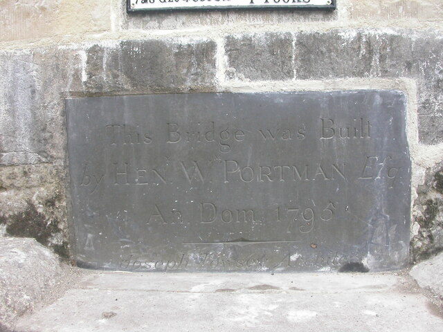
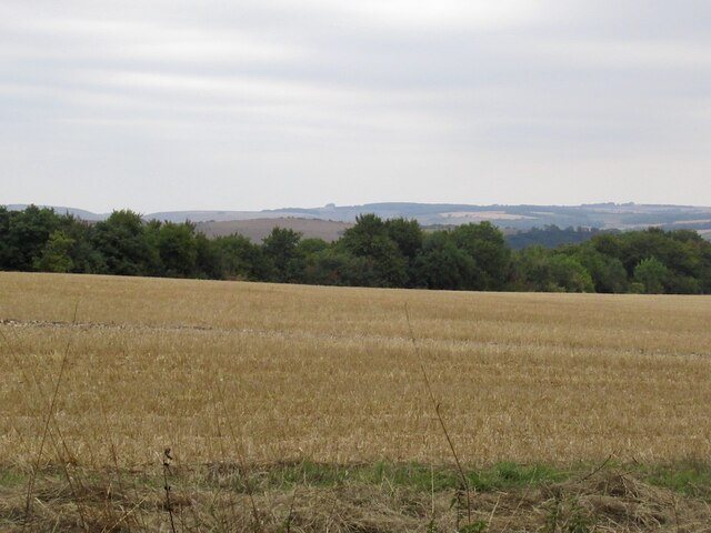
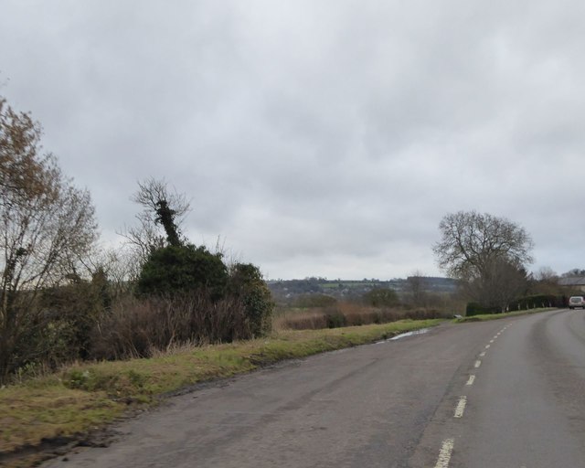
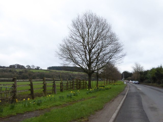
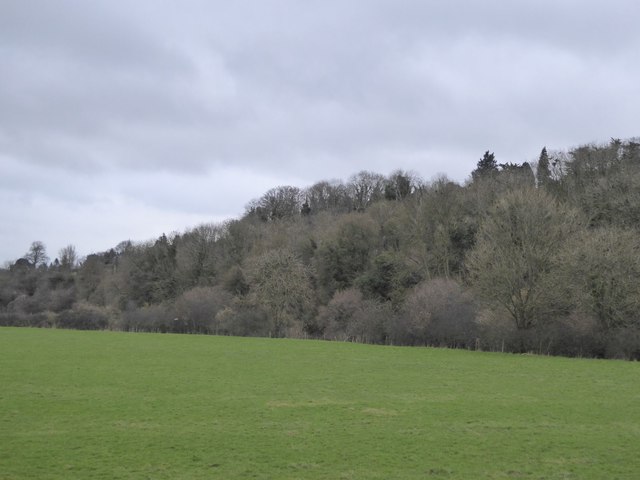
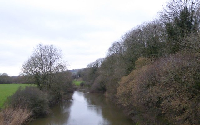
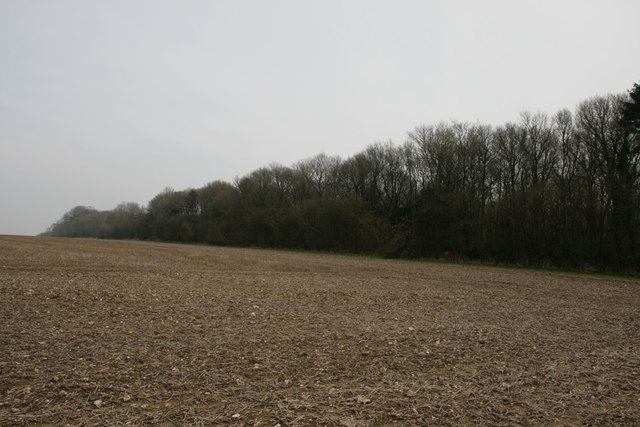
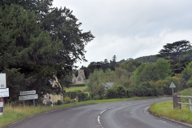
Durweston is a civil parish located in the county of Dorset, England. Situated near the River Stour, it lies approximately 3 miles north of the town of Blandford Forum. The village is surrounded by picturesque countryside, offering stunning views and a peaceful atmosphere.

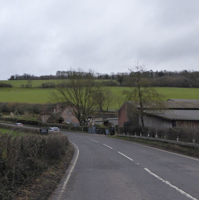
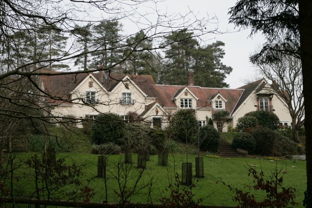
The parish is home to a relatively small population, consisting mainly of residential properties and farmland. The architecture of the village is predominantly traditional, with many charming cottages and houses adding to its character. The local church, St. Nicholas, is a notable landmark in Durweston, known for its beautiful architecture and historical significance.

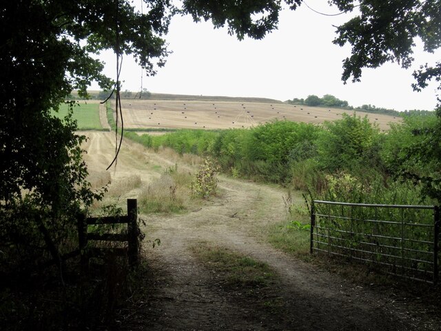
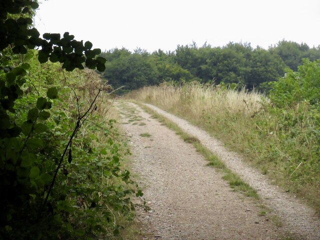
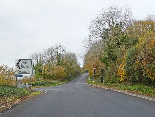
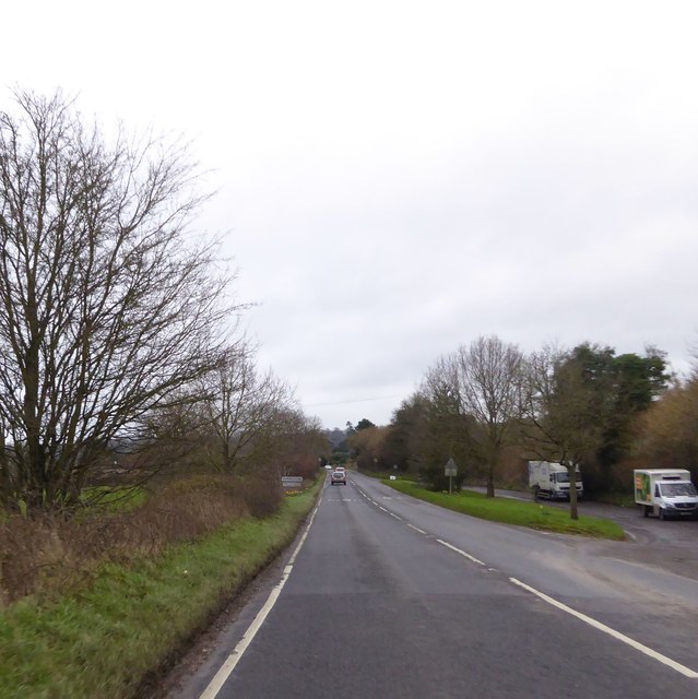
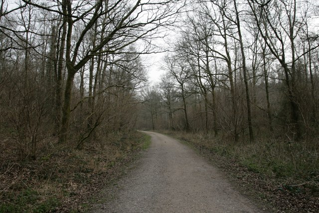
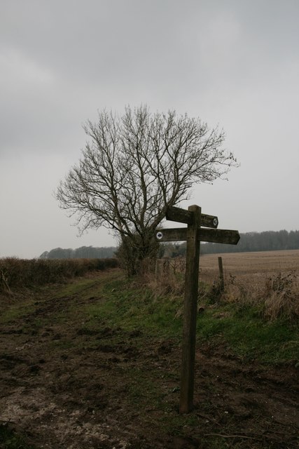
The village is well-connected by road, with the A350 passing nearby, providing easy access to nearby towns and cities. Despite its rural location, Durweston benefits from a range of amenities, including a primary school, a village hall, and a local pub. The area also offers opportunities for outdoor activities such as walking, cycling, and fishing, with the River Stour providing a popular spot for anglers.

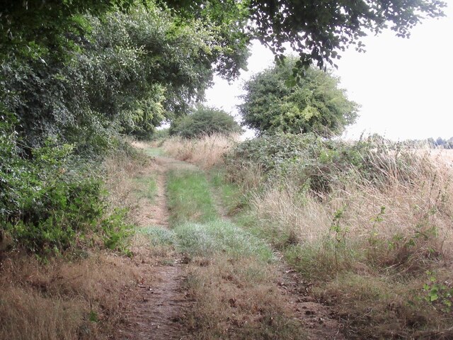
Durweston is surrounded by natural beauty, with the nearby Dorset Downs and Cranborne Chase Areas of Outstanding Natural Beauty offering stunning landscapes and a variety of wildlife. The village is also within close proximity to other popular attractions, including the ancient hillfort of Hambledon Hill and the historic town of Sherborne.

In summary, Durweston is a charming civil parish in Dorset, offering a peaceful and close-knit community, beautiful countryside, and a range of amenities and activities for residents and visitors to enjoy.

If you have any feedback on the listing, please let us know in the comments section below.
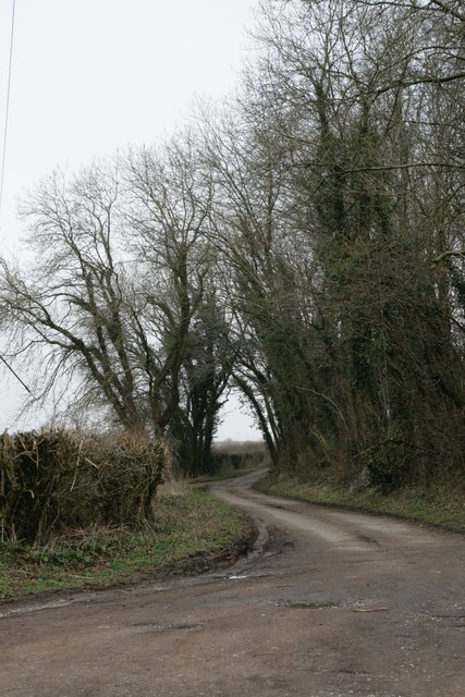
Durweston Images

Images are sourced within 2km of 50.870467/-2.219708 or Grid Reference ST8407. Thanks to Geograph Open Source API. All images are credited.

Old Bridge Marker beside the A357 on Durweston Bridge Bridge Marker set in the south parapet of Durweston Bridge below DO_TRADURbr. On the boundary of Durweston and Stourpaine parishes. Grade II* Listed details <span class="nowrap"><a title="https://historicengland.org.uk/listing/the-list/list-entry/1110240" rel="nofollow ugc noopener" href="https://historicengland.org.uk/listing/the-list/list-entry/1110240">Link</a><img style="margin-left:2px;" alt="External link" title="External link - shift click to open in new window" src="https://s1.geograph.org.uk/img/external.png" width="10" height="10"/></span>.

Milestone Society National ID: DO_DURSTO01br
Old Bridge Marker beside the A357 on Durweston Bridge
Bridge Marker set in the south parapet of Durweston Bridge below DO_TRADURbr. On the boundary of Durweston and Stourpaine parishes. Grade II* Listed details LinkExternal link. Milestone Society National ID: DO_DURSTO01br
Fields, Stourpaine View from the rails to trails path.
Fields, Stourpaine
View from the rails to trails path.
Track on Shillingstone Hill Crossing farmland on the flat top, surrounding steep ground is wooded.
Track on Shillingstone Hill
Crossing farmland on the flat top, surrounding steep ground is wooded.
Stubble, Shillingstone Hill The flat higher ground is arable farmland.
Stubble, Shillingstone Hill
The flat higher ground is arable farmland.
Track, Shillingstone Hill On the woodland edge.
Track, Shillingstone Hill
On the woodland edge.
Turning for Sturminster Newton
Lay-by on A357 on north-east of Shillingstone Hill The lay-by also gives access to the house in the distance on the right
Lay-by on A357 on north-east of Shillingstone Hill
The lay-by also gives access to the house in the distance on the right
Enford Farm The farm and farm shop at the end of the valley of Enford Bottom.  The A357 takes a left-hand bend following a bend in the River Stour
Enford Farm
The farm and farm shop at the end of the valley of Enford Bottom. The A357 takes a left-hand bend following a bend in the River Stour
Lay-by on the A357 north of Durweston A lay-by that resulted from road realignment; the village sign for Durweston is on the left
Lay-by on the A357 north of Durweston
A lay-by that resulted from road realignment; the village sign for Durweston is on the left
Daffodils by the A357 on south of Durweston
Grassland and woodland by Durweston Bridge Grassland (this side) and woodland (beyond) on the banks of the River Stour
Grassland and woodland by Durweston Bridge
Grassland (this side) and woodland (beyond) on the banks of the River Stour
River Stour from Durweston Bridge
Jubilee Trail through Field Grove
Free Down Border
Free Down Border
Field Grove House
Field Grove House
Footpath crossroads in Turnworth
New Road near Winterborne Stickland
A357 entering Durweston
Show me another place!

Durweston is located at Grid Ref: ST8407 (Lat: 50.870467, Lng: -2.219708)

Administrative County: Dorset

District: North Dorset

Police Authority: Dorset

What 3 Words

///passages.streak.unframed. Near Shillingstone, Dorset

Nearby Locations

Durweston Roundbush Wood

Related Wikis

Durweston

Durweston ( dər-WES-tən) is a village and civil parish in the English county of Dorset. It lies two miles (three kilometres) northwest of the town of Blandford...

Blandford Forest

Blandford Forest is a scattered area of woodland centred to the northwest of the town of Blandford Forum in North Dorset, England. == Location == According...

Stourpaine and Durweston railway station

Stourpaine & Durweston Halt was a railway station in the English county of Dorset. It was located between Shillingstone and Blandford Forum on the Somerset...

Stourpaine

Stourpaine () is a village and civil parish in the ceremonial county of Dorset in southern England. It is situated in the valley of the River Stour in...

The Coade Hall

The Coade Hall is a brick-built theatre and concert hall at Bryanston School, near Blandford Forum in Dorset, England. == History == It was opened on...

Bryanston School

Bryanston School is a public school (English private boarding and day school for pupils aged 13–18) located next to the village of Bryanston, and near...

Turnworth

Turnworth is a small village and civil parish in north Dorset, England, situated on the Dorset Downs five miles (eight kilometres) west of Blandford Forum...

Hod Hill

Hod Hill (or Hodd Hill) is a large hill fort in the Blackmore Vale, 3 miles (5 km) north-west of Blandford Forum, Dorset, England. The fort sits on a 143...

Nearby Amenities

Located within 500m of 50.870467,-2.219708
Material: wood
Power: pole
Source: bing
Lat/Long: 50.8712456/-2.2265741
Material: wood
Power: pole
Source: bing
Lat/Long: 50.8699879/-2.225571
Material: wood
Power: pole
Source: bing
Lat/Long: 50.8693769/-2.2249594
Material: wood
Power: pole
Source: bing
Lat/Long: 50.8687827/-2.2243291
Material: wood
Power: pole
Source: bing
Lat/Long: 50.8681784/-2.2237417
Material: wood
Power: pole
Source: bing
Lat/Long: 50.8676096/-2.223165
Material: wood
Power: pole
Source: bing
Lat/Long: 50.8670408/-2.2225937
Material: wood
Power: pole
Source: bing
Lat/Long: 50.8664738/-2.2220305
The data included in this document is from www.openstreetmap.org. The data is made available under ODbL.

Have you been to Durweston?

Leave your review of Durweston below (or comments, questions and feedback).