Roundbush Wood
Wood, Forest in Dorset
England
Roundbush Wood
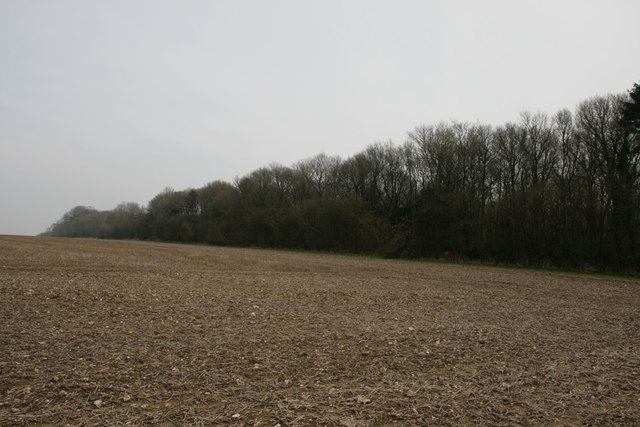
Roundbush Wood is a charming woodland located in the picturesque county of Dorset, England. It covers an area of approximately 100 acres and is known for its lush greenery, diverse wildlife, and tranquil ambiance. The wood is situated near the village of Bere Regis, making it easily accessible for both locals and tourists.
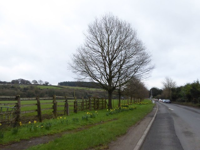
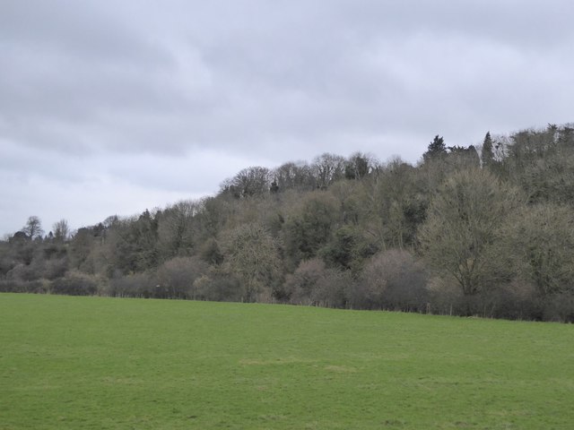
The woodland is primarily composed of deciduous trees, including oak, beech, and ash, creating a beautiful canopy that provides shade and shelter throughout the year. The forest floor is covered in a thick carpet of ferns, wildflowers, and moss, adding to its natural beauty.
Roundbush Wood is a haven for wildlife enthusiasts, as it is home to a wide variety of animal species. Visitors may spot deer, foxes, badgers, and rabbits, as well as an array of birdlife such as woodpeckers, owls, and songbirds. The wood's diverse ecosystem also attracts numerous insects and butterflies, making it a haven for nature lovers and photographers.
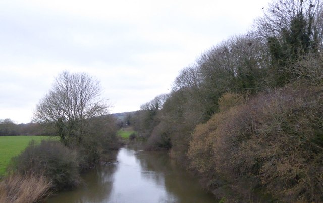
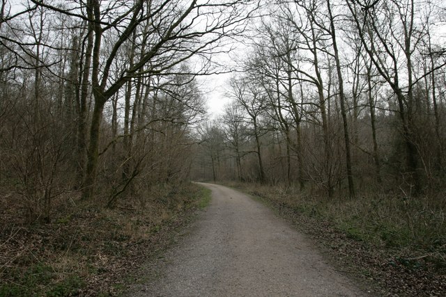
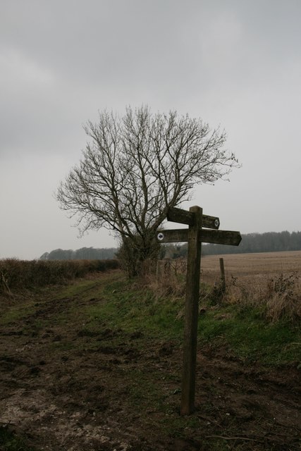
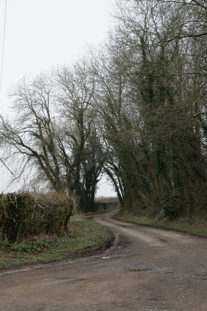
The woodland offers several well-maintained walking trails, allowing visitors to explore its enchanting beauty at their own pace. These trails wind through the forest, offering glimpses of charming streams, small ponds, and hidden clearings along the way. With its peaceful atmosphere, Roundbush Wood is an ideal place for a leisurely stroll, a family picnic, or even a spot of birdwatching.
Overall, Roundbush Wood in Dorset is a charming and idyllic woodland that offers a peaceful retreat from the hustle and bustle of daily life. Its natural beauty, diverse wildlife, and well-maintained trails make it a perfect destination for nature enthusiasts and those seeking a tranquil escape in the heart of the English countryside.
If you have any feedback on the listing, please let us know in the comments section below.
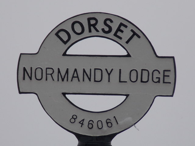
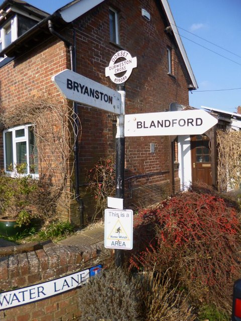
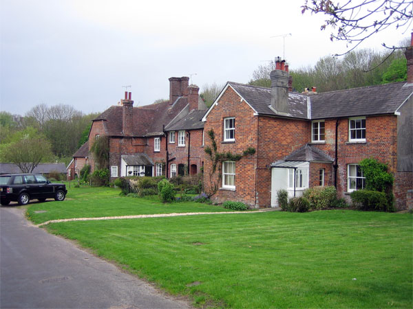
Roundbush Wood Images
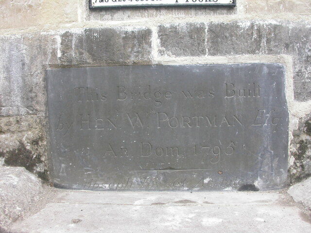
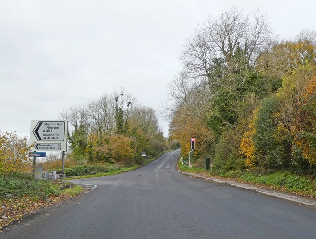
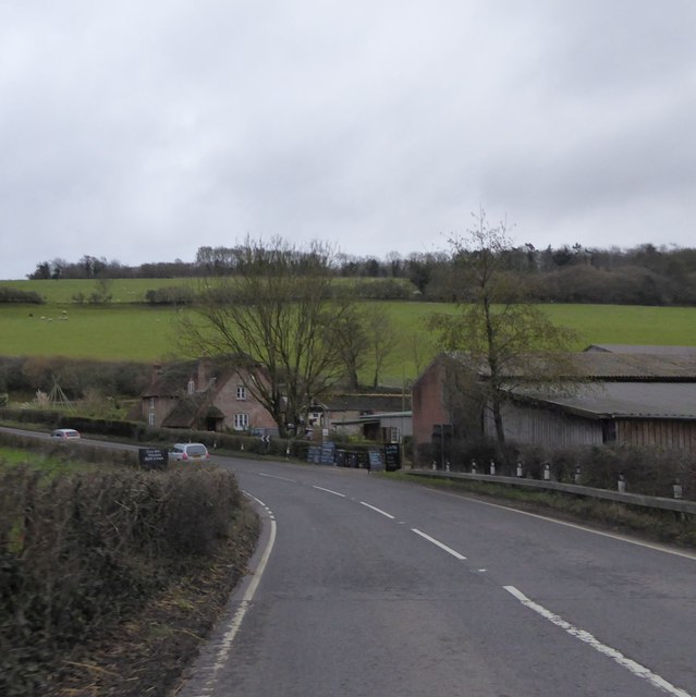
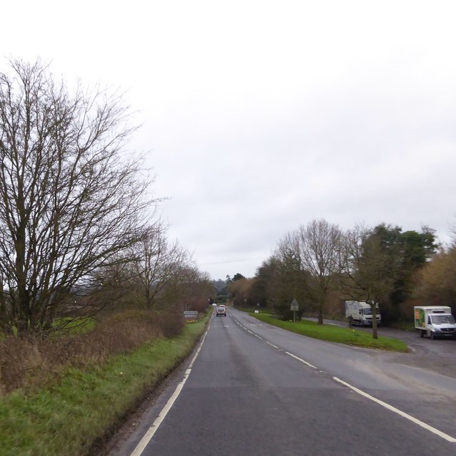
Images are sourced within 2km of 50.868627/-2.217173 or Grid Reference ST8407. Thanks to Geograph Open Source API. All images are credited.
Roundbush Wood is located at Grid Ref: ST8407 (Lat: 50.868627, Lng: -2.217173)
Unitary Authority: Dorset
Police Authority: Dorset
What 3 Words
///tomato.blissful.overt. Near Shillingstone, Dorset
Nearby Locations
Related Wikis

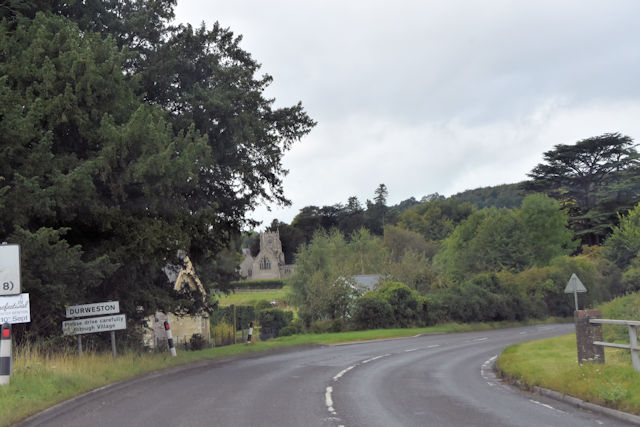
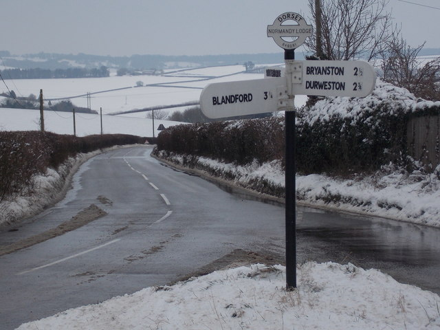
Durweston
Durweston ( dər-WES-tən) is a village and civil parish in the English county of Dorset. It lies two miles (three kilometres) northwest of the town of Blandford...

Blandford Forest
Blandford Forest is a scattered area of woodland centred to the northwest of the town of Blandford Forum in North Dorset, England. == Location == According...

Stourpaine and Durweston railway station
Stourpaine & Durweston Halt was a railway station in the English county of Dorset. It was located between Shillingstone and Blandford Forum on the Somerset...

The Coade Hall
The Coade Hall is a brick-built theatre and concert hall at Bryanston School, near Blandford Forum in Dorset, England. == History == It was opened on...

Bryanston School
Bryanston School is a public school (English private boarding and day school for pupils aged 13–18) located next to the village of Bryanston, and near...

Stourpaine
Stourpaine () is a village and civil parish in the ceremonial county of Dorset in southern England. It is situated in the valley of the River Stour in...
Bryanston
Bryanston is a village and civil parish in north Dorset, England, situated on the River Stour 1 mile (1.5 kilometres) west of Blandford Forum. In the...

Turnworth
Turnworth is a small village and civil parish in north Dorset, England, situated on the Dorset Downs five miles (eight kilometres) west of Blandford Forum...
Nearby Amenities
Located within 500m of 50.868627,-2.217173Have you been to Roundbush Wood?
Leave your review of Roundbush Wood below (or comments, questions and feedback).