Drybrook
Civil Parish in Gloucestershire Forest of Dean
England
Drybrook
Drybrook is a civil parish located in the Forest of Dean district of Gloucestershire, England. Situated on the eastern edge of the county, it is surrounded by the picturesque countryside that characterizes the region. The parish covers an area of approximately 7 square kilometers and is home to a population of around 2,000 residents.
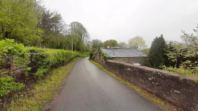
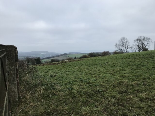
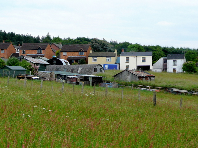
The village of Drybrook itself is nestled in the heart of the Forest of Dean, known for its beautiful woodlands and rich history. The area has a strong mining heritage, with coal mining having been a significant industry in the past. Today, the village has transformed into a peaceful residential area, with a mix of traditional stone cottages and newer housing developments.
Drybrook offers a range of amenities for its residents, including a primary school, a post office, a village hall, and a small selection of shops and pubs. The parish is well-connected by road, with the A4136 passing through the village, providing easy access to nearby towns and cities.
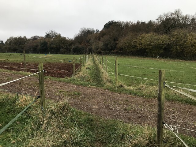
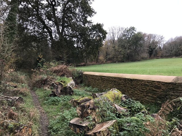
Nature enthusiasts will find plenty to explore in and around Drybrook. The village is surrounded by dense forests and rolling hills, offering opportunities for walking, cycling, and horseback riding. The nearby Wye Valley and Forest of Dean provide further options for outdoor activities, including hiking, wildlife spotting, and canoeing along the River Wye.
Overall, Drybrook is a charming rural parish that offers a tranquil lifestyle in a beautiful natural setting, making it an attractive place to live for those seeking a peaceful retreat in Gloucestershire.
If you have any feedback on the listing, please let us know in the comments section below.
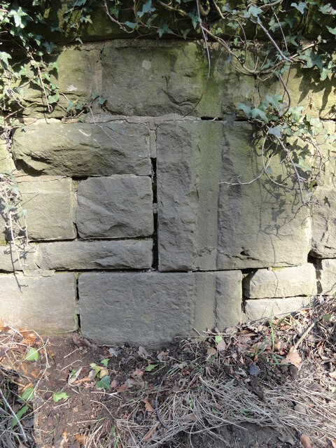
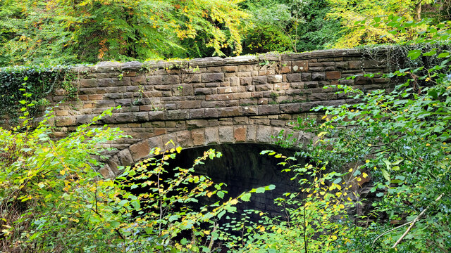
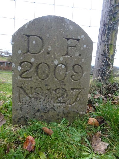
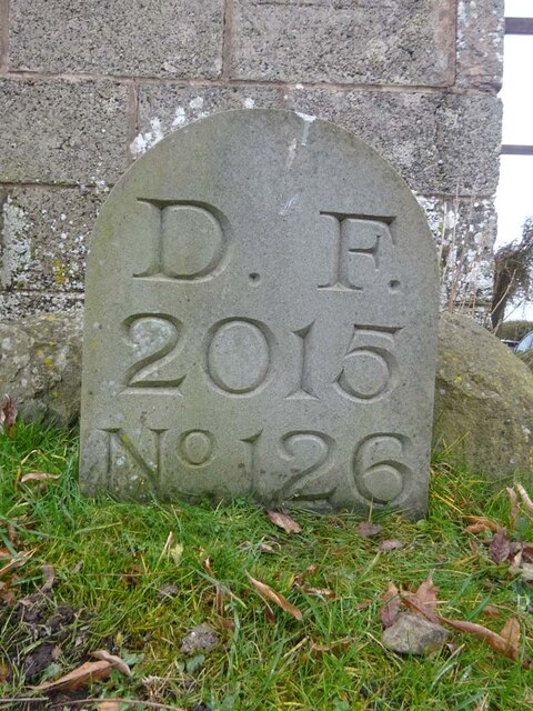
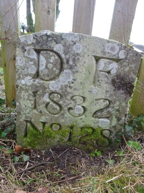
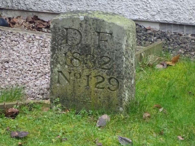
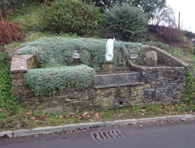
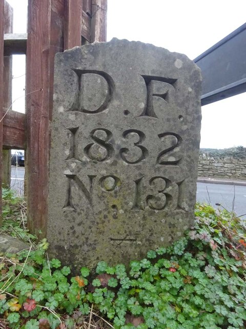
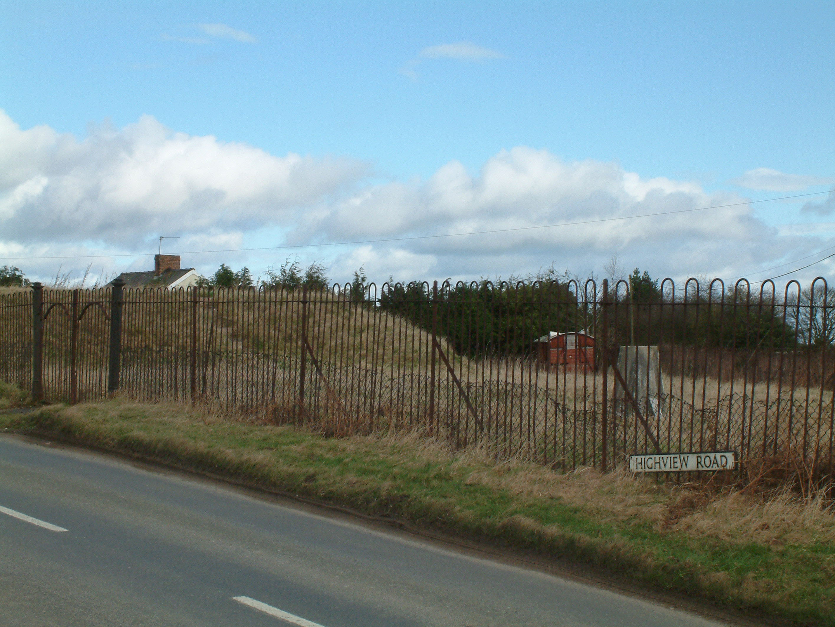
Drybrook Images
Images are sourced within 2km of 51.855915/-2.515613 or Grid Reference SO6417. Thanks to Geograph Open Source API. All images are credited.


Drybrook is located at Grid Ref: SO6417 (Lat: 51.855915, Lng: -2.515613)
Administrative County: Gloucestershire
District: Forest of Dean
Police Authority: Gloucestershire
What 3 Words
///dripped.masterpiece.alarmed. Near Drybrook, Gloucestershire
Related Wikis

Drybrook Halt railway station
Drybrook Halt railway station served the village of Drybrook, Gloucestershire, England, from 1907 to 1930 on the Mitcheldean Road & Forest of Dean Junction...
Mitcheldean Meend Marsh
Mitcheldean Meend Marsh (grid reference SO647180) is a 0.7-hectare (1.7-acre) nature reserve in Gloucestershire in the Forest of Dean. The site is listed...

Puddlebrook Quarry
Puddlebrook Quarry (grid reference SO646183) is a 0.7-hectare (1.7-acre) geological Site of Special Scientific Interest in Gloucestershire, near Drybrook...
Harrow Hill, Gloucestershire
Harrow Hill is a village situated in the Forest of Dean in Gloucestershire, England. It is contiguous with the larger village of Drybrook. Originally,...
Nailbridge Halt railway station
Nailbridge Halt railway station served the suburb of Nailbridge, Gloucestershire, England, from 1907 to 1930 on the Mitcheldean Road and Forest of Dean...
Ruardean Hill
Ruardean Hill is a prominent hill and a village in the English county of Gloucestershire, 20 km (12 mi) west of Gloucester. It lies in the Forest of Dean...
Stenders Quarry
Stenders Quarry (grid reference SO659183) is a 2.8-hectare (6.9-acre) biological and geological Site of Special Scientific Interest in the Forest of Dean...
Scully Grove Quarry
Scully Grove Quarry (grid reference SO657186) is a 0.4-hectare (0.99-acre) geological Site of Special Scientific Interest in Gloucestershire, England,...
Nearby Amenities
Located within 500m of 51.855915,-2.515613Have you been to Drybrook?
Leave your review of Drybrook below (or comments, questions and feedback).