Drybrook

Settlement in Gloucestershire Forest of Dean

England

Drybrook

Jubilee Road, Mitcheldean Looking north towards Plump Hill.
Jubilee Road, Mitcheldean Credit: Jonathan Billinger

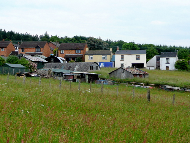
Drybrook is a small village located in the Forest of Dean district of Gloucestershire, England. Situated approximately 15 miles west of Gloucester, it lies on the eastern edge of the Forest of Dean and is surrounded by picturesque countryside. The village is positioned on the B4226 road, which connects it to nearby towns such as Cinderford and Mitcheldean.

With a population of around 2,000 residents, Drybrook has a close-knit community feel. The village is known for its strong sense of community spirit and is home to various amenities and facilities. These include a primary school, a community hall, a post office, and a local convenience store. There are also several pubs and restaurants, providing options for locals and visitors to enjoy a meal or a drink.

Due to its location within the Forest of Dean, Drybrook offers ample opportunities for outdoor activities and exploration. The surrounding woodland provides numerous walking and cycling paths, allowing residents to enjoy the natural beauty of the area. Additionally, the village is located close to popular attractions such as the Dean Heritage Centre and the Sculpture Trail.

Transport links in Drybrook are relatively good, with regular bus services connecting the village to nearby towns and cities. The nearby A4136 road also provides easy access to the wider road network, making it convenient for residents to travel to other parts of Gloucestershire and beyond.

Overall, Drybrook is a charming village that offers a peaceful and picturesque setting, combined with a strong sense of community and access to a range of amenities and outdoor activities.

If you have any feedback on the listing, please let us know in the comments section below.
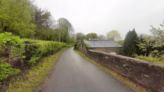
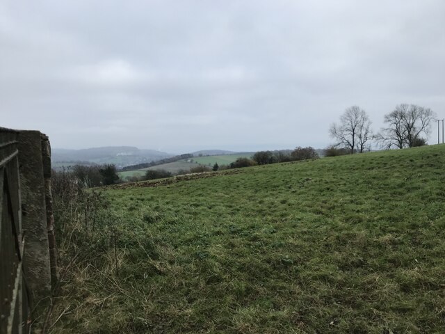
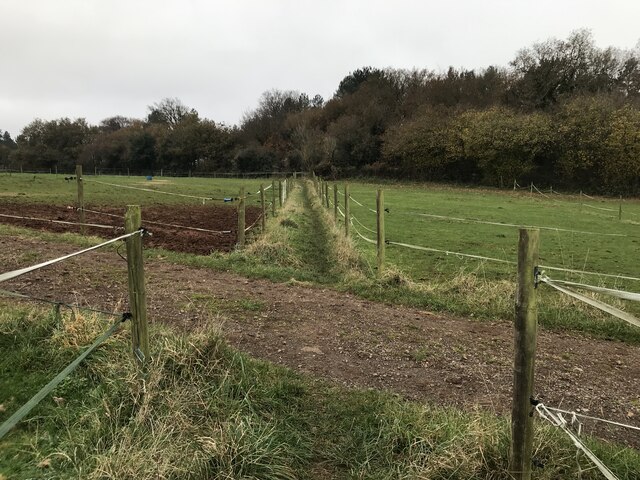
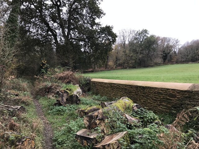
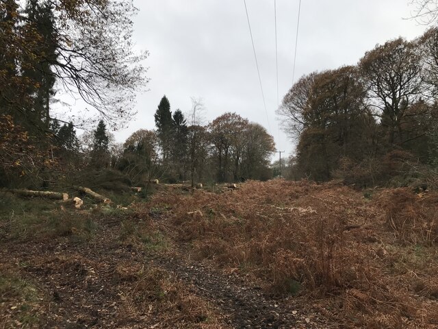
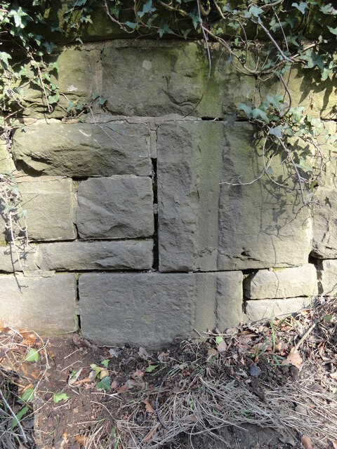
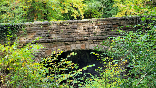
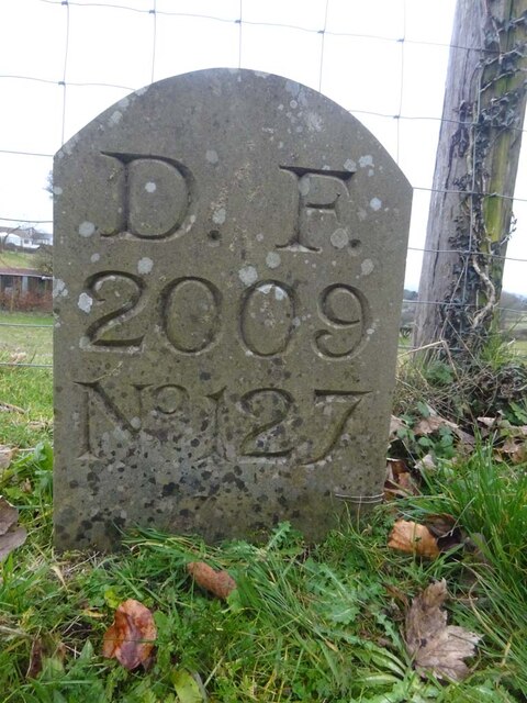
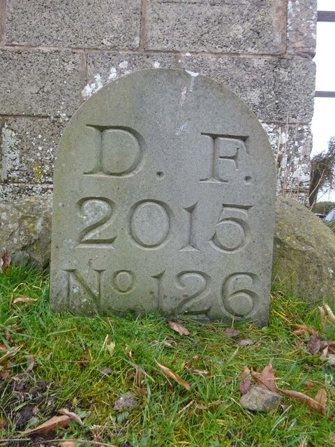
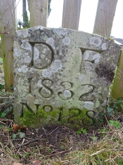
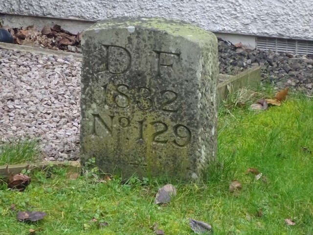
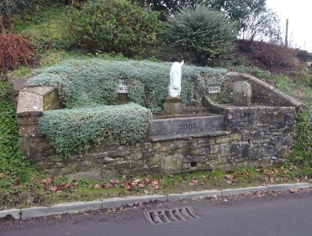
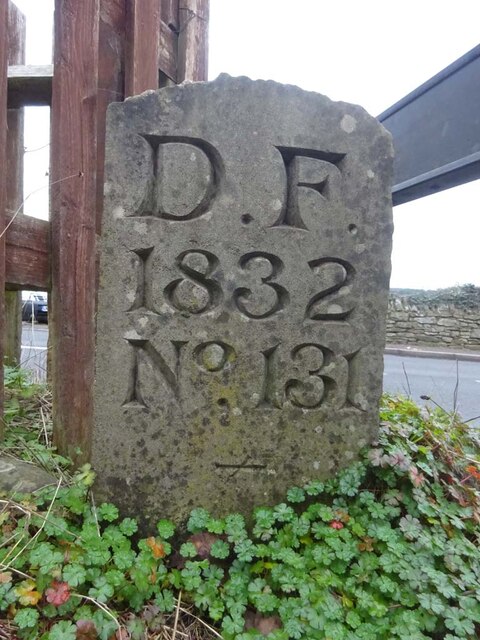
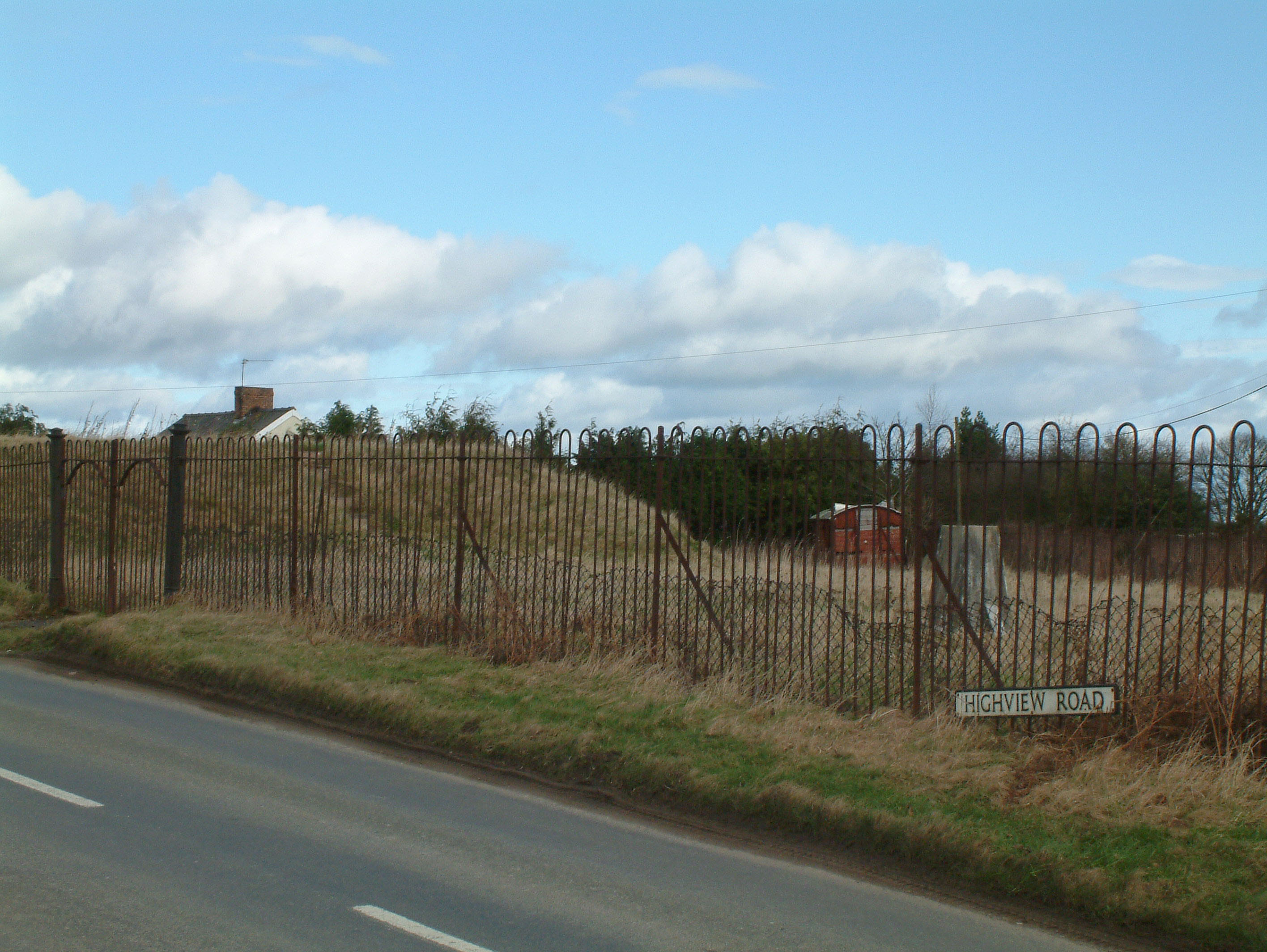
Drybrook Images

Images are sourced within 2km of 51.855452/-2.516507 or Grid Reference SO6417. Thanks to Geograph Open Source API. All images are credited.

Jubilee Road, Mitcheldean Looking north towards Plump Hill.
Jubilee Road, Mitcheldean
Looking north towards Plump Hill.
Grassy hillside
Grassy hillside
Between paddocks
Between paddocks
Overgrown pathway
Overgrown pathway
Repaired wall
Repaired wall
Felled trees
Felled trees
Toll House, A4136, Plump Hill Within the parish of Mitcheldean. The frontage was replaced in 1893 when the building was re-named Grove Cottage. The visible parts of the side and rear are clearly much older and would have been the building depicted on 1877 maps as the Plumphill Gate (TP) when it had a part of the building extending to the road. The flat roof extension is modern. Served the Huntley and Mitcheldean Turnpike Trust.

Inscription: Grove Cottage / 1893

Milestone Society National ID: GL.MIT
Toll House, A4136, Plump Hill
Within the parish of Mitcheldean. The frontage was replaced in 1893 when the building was re-named Grove Cottage. The visible parts of the side and rear are clearly much older and would have been the building depicted on 1877 maps as the Plumphill Gate (TP) when it had a part of the building extending to the road. The flat roof extension is modern. Served the Huntley and Mitcheldean Turnpike Trust. Inscription: Grove Cottage / 1893 Milestone Society National ID: GL.MIT
Old Bridge Marker on Hawthorns Road, Hope Mansell Bridge Marker in the northeast parapet of a bridge on Hawthorns Road over the disused Mitcheldean Road and Forest of Dean Junction Railway. Hope Mansell parish. Inscribed G.W.R. possibly above S D C. The bridge is on a railway line built c.1874 by different contractors for the Mitcheldean Road and Forest of Dean Junction Railway Company. This company was absorbed by the GWR in 1880, who completed the line soon after. The stone is thought to mark the Great Western Railway's ownership of, or responsibility for, the bridge. The vertical groove next to the stone is unexplained but might show where a bridge weight plate, e.g. <a title="https://www.geograph.org.uk/photo/6463518," href="https://www.geograph.org.uk/photo/6463518,">Link</a> was fixed to the parapet.

Milestone Society National ID: HF_HOPEMA01br
Old Bridge Marker on Hawthorns Road, Hope Mansell
Bridge Marker in the northeast parapet of a bridge on Hawthorns Road over the disused Mitcheldean Road and Forest of Dean Junction Railway. Hope Mansell parish. Inscribed G.W.R. possibly above S D C. The bridge is on a railway line built c.1874 by different contractors for the Mitcheldean Road and Forest of Dean Junction Railway Company. This company was absorbed by the GWR in 1880, who completed the line soon after. The stone is thought to mark the Great Western Railway's ownership of, or responsibility for, the bridge. The vertical groove next to the stone is unexplained but might show where a bridge weight plate, e.g. Link was fixed to the parapet. Milestone Society National ID: HF_HOPEMA01br
Old Boundary Stone, Mitcheldean One of the many boundary stone delineating the periphery of the "Forest of Dean". The "Forest" is very specific because resident have "rights in common" like grazing sheep and coal mining, though you may have to be born there to classify as a "free miner". This is on the Northern verge of "The Stenders". Mitcheldean is to the East, while East Dean parish is to the West. The boundary runs along the road from the next <a href="https://www.geograph.org.uk/photo/7295087">SO6518 : Modern Boundary Stone, Mitcheldean</a> and turns North here.

Inscription: D.F / 1832 / N. 180

Milestone Society National ID: GL_DFMITC180em
Old Boundary Stone, Mitcheldean
One of the many boundary stone delineating the periphery of the "Forest of Dean". The "Forest" is very specific because resident have "rights in common" like grazing sheep and coal mining, though you may have to be born there to classify as a "free miner". This is on the Northern verge of "The Stenders". Mitcheldean is to the East, while East Dean parish is to the West. The boundary runs along the road from the next SO6518 : Modern Boundary Stone, Mitcheldean and turns North here. Inscription: D.F / 1832 / N. 180 Milestone Society National ID: GL_DFMITC180em
Modern Boundary Stone, Mitcheldean One of the many replacement boundary stone delineating the periphery of the "Forest of Dean". The "Forest" is very specific because resident have "rights in common" like grazing sheep and coal mining, though you may have to be born there to classify as a "free miner". This is on the Southern verge of "The Stenders". Mitcheldean is to the East, while East Dean parish is to the West. The boundary runs along the road from the next <a href="https://www.geograph.org.uk/photo/7295071">SO6518 : Old Boundary Stone, Mitcheldean</a> and turns South here.

Inscription: D. F. / 2011 / Nᴼ. 181

Milestone Society National ID: GL_DFMITC181em
Modern Boundary Stone, Mitcheldean
One of the many replacement boundary stone delineating the periphery of the "Forest of Dean". The "Forest" is very specific because resident have "rights in common" like grazing sheep and coal mining, though you may have to be born there to classify as a "free miner". This is on the Southern verge of "The Stenders". Mitcheldean is to the East, while East Dean parish is to the West. The boundary runs along the road from the next SO6518 : Old Boundary Stone, Mitcheldean and turns South here. Inscription: D. F. / 2011 / Nᴼ. 181 Milestone Society National ID: GL_DFMITC181em
Old railway bridge The road to Drybrook crosses the Severn and Wye railway which closed to passenger service in 1929.
Old railway bridge
The road to Drybrook crosses the Severn and Wye railway which closed to passenger service in 1929.
Boundary Stone, Ruardean Woodside Royal Forest of Dean boundary stone on the West side of Walker's Lane opposite the farmyard entrance. It also marks the boundary between Ruardean and East Dean, Gloucestershire.

Inscription: D. F. / 2009 / Nᴼ. 127

Milestone Society National ID: GL_DFDRRU127em
Boundary Stone, Ruardean Woodside
Royal Forest of Dean boundary stone on the West side of Walker's Lane opposite the farmyard entrance. It also marks the boundary between Ruardean and East Dean, Gloucestershire. Inscription: D. F. / 2009 / Nᴼ. 127 Milestone Society National ID: GL_DFDRRU127em
Boundary Stone, Ruardean Woodside Forest of Dean boundary stone on the West side of Walker's Lane and adjacent to Gloucestershire footpath DRD45.

Inscription: D. F. / 2015 / Nᴼ. 126

Milestone Society National ID: GL_DFDRRU126em
Boundary Stone, Ruardean Woodside
Forest of Dean boundary stone on the West side of Walker's Lane and adjacent to Gloucestershire footpath DRD45. Inscription: D. F. / 2015 / Nᴼ. 126 Milestone Society National ID: GL_DFDRRU126em
Boundary Stone, Ruardean Hill Forest of Dean boundary stone at the corner of Spout Lane and a stile on Gloucestershire footpath DRD41.

Inscription: D. F. / 1832 / Nᴼ. 128

Milestone Society National ID: GL_DFDRRU128em
Boundary Stone, Ruardean Hill
Forest of Dean boundary stone at the corner of Spout Lane and a stile on Gloucestershire footpath DRD41. Inscription: D. F. / 1832 / Nᴼ. 128 Milestone Society National ID: GL_DFDRRU128em
Boundary Stone, Ruardean Walk Forest of Dean boundary marker in the garden of "Morse View" on the North side of Spout Lane.

Inscription: D. F. / 1832 / Nᴼ. 129

Milestone Society National ID: GL_DFDRRU129em
Boundary Stone, Ruardean Walk
Forest of Dean boundary marker in the garden of "Morse View" on the North side of Spout Lane. Inscription: D. F. / 1832 / Nᴼ. 129 Milestone Society National ID: GL_DFDRRU129em
Boundary Stone & horse trough, Swish Lane Modern horse trough (2003) and Forest of Dean boundary stone set in a feature garden with hanging evergreen plants. And aphorisms. In the Ruardean Hill/Ruardean Walk area.

Inscription: D. F. / 1832 / Nᴼ. 130 / ―

Milestone Society National ID: GL_DFDRRU130em
Boundary Stone & horse trough, Swish Lane
Modern horse trough (2003) and Forest of Dean boundary stone set in a feature garden with hanging evergreen plants. And aphorisms. In the Ruardean Hill/Ruardean Walk area. Inscription: D. F. / 1832 / Nᴼ. 130 / ― Milestone Society National ID: GL_DFDRRU130em
Boundary Stone, Ruardean Hill Forest of Dean boundary stone at the apex of the junction between Batts Lane and Morse Road. Despit the date on the inscription, this is from a more recent century, probably the 20ᵗʰ. 

Inscription: D. F. / 1832 / Nᴼ. 131 / ―

Milestone Society National ID: GL_DFDRYB131em
Boundary Stone, Ruardean Hill
Forest of Dean boundary stone at the apex of the junction between Batts Lane and Morse Road. Despit the date on the inscription, this is from a more recent century, probably the 20ᵗʰ. Inscription: D. F. / 1832 / Nᴼ. 131 / ― Milestone Society National ID: GL_DFDRYB131em
Boundary Stone, field, Morse Road Forest of Dean boundary stone in a field in the area described on old maps as The Morse. Looking from Morse Road the stone is maybe 100 yds from the road, ie private land.

Inscription (assumed): D. F. / 1832 / Nᴼ. 133 

Milestone Society National ID: GL_DFDRRU133em
Boundary Stone, field, Morse Road
Forest of Dean boundary stone in a field in the area described on old maps as The Morse. Looking from Morse Road the stone is maybe 100 yds from the road, ie private land. Inscription (assumed): D. F. / 1832 / Nᴼ. 133 Milestone Society National ID: GL_DFDRRU133em
Show me another place!

Drybrook is located at Grid Ref: SO6417 (Lat: 51.855452, Lng: -2.516507)

Administrative County: Gloucestershire

District: Forest of Dean

Police Authority: Gloucestershire

What 3 Words

///keyboards.tumble.strong. Near Drybrook, Gloucestershire

Nearby Locations

Drybrook Drybrook

Related Wikis

Drybrook Halt railway station

Drybrook Halt railway station served the village of Drybrook, Gloucestershire, England, from 1907 to 1930 on the Mitcheldean Road & Forest of Dean Junction...

Mitcheldean Meend Marsh

Mitcheldean Meend Marsh (grid reference SO647180) is a 0.7-hectare (1.7-acre) nature reserve in Gloucestershire in the Forest of Dean. The site is listed...

Harrow Hill, Gloucestershire

Harrow Hill is a village situated in the Forest of Dean in Gloucestershire, England. It is contiguous with the larger village of Drybrook. Originally,...

Puddlebrook Quarry

Puddlebrook Quarry (grid reference SO646183) is a 0.7-hectare (1.7-acre) geological Site of Special Scientific Interest in Gloucestershire, near Drybrook...

Nailbridge Halt railway station

Nailbridge Halt railway station served the suburb of Nailbridge, Gloucestershire, England, from 1907 to 1930 on the Mitcheldean Road and Forest of Dean...

Ruardean Hill

Ruardean Hill is a prominent hill and a village in the English county of Gloucestershire, 20 km (12 mi) west of Gloucester. It lies in the Forest of Dean...

Stenders Quarry

Stenders Quarry (grid reference SO659183) is a 2.8-hectare (6.9-acre) biological and geological Site of Special Scientific Interest in the Forest of Dean...

Scully Grove Quarry

Scully Grove Quarry (grid reference SO657186) is a 0.4-hectare (0.99-acre) geological Site of Special Scientific Interest in Gloucestershire, England,...

Nearby Amenities

Located within 500m of 51.855452,-2.516507
Drybrook
Is In: Gloucestershire, England, UK
Place: village
Postal Code: GL17 9
Lat/Long: 51.8558108/-2.5178183
Bus Stop
Cross
Naptan AtcoCode: 1600GL1663
Naptan Bearing: S
Naptan BusStopType: CUS
Naptan CommonName: Cross
Naptan NaptanCode: gloajdjd
Naptan Street: Drybrook Rd
Naptan Verified: no
Source: naptan_import
Lat/Long: 51.8547404/-2.5167237
Bus Stop
Cross
Naptan AtcoCode: 1600GL1664
Naptan Bearing: N
Naptan CommonName: Cross
Naptan NaptanCode: gloajdgw
Naptan Street: Drybrook Rd
Naptan Verified: no
Source: naptan_import
Lat/Long: 51.8548925/-2.5168852
Bus Stop
Mannings Rd
Naptan AtcoCode: 1600GL1665
Naptan Bearing: SW
Naptan BusStopType: CUS
Naptan CommonName: Mannings Rd
Naptan Indicator: Opp
Naptan NaptanCode: gloajdtj
Naptan Street: High St
Naptan Verified: no
Source: naptan_import
Lat/Long: 51.8580932/-2.5107506
Bus Stop
Cross
Naptan AtcoCode: 1600GLA57044
Naptan Bearing: S
Naptan CommonName: Cross
Naptan NaptanCode: glogmwdw
Naptan Street: Hawthorns Rd
Naptan Verified: no
Source: naptan_import
Lat/Long: 51.8556856/-2.5164587
Bus Stop
Cross
Naptan AtcoCode: 1600GLA57045
Naptan Bearing: N
Naptan CommonName: Cross
Naptan NaptanCode: glogmwga
Naptan Street: Hawthorns Rd
Naptan Verified: no
Source: naptan_import
Lat/Long: 51.8557032/-2.5165605
Bus Stop
West Avenue
Naptan AtcoCode: 1600GLF461
Naptan Bearing: SW
Naptan CommonName: West Avenue
Naptan Indicator: Opp
Naptan NaptanCode: gloajdpd
Naptan Street: High St
Naptan Verified: no
Source: naptan_import
Lat/Long: 51.8569309/-2.5133801
Bus Stop
West Avenue
Naptan AtcoCode: 1600GLF462
Naptan Bearing: NE
Naptan CommonName: West Avenue
Naptan NaptanCode: gloajdpg
Naptan Street: High St
Naptan Verified: no
Source: naptan_import
Lat/Long: 51.8569387/-2.5136561
Bus Stop
Primary School
Naptan AtcoCode: 1600GLF463
Naptan Bearing: S
Naptan CommonName: Primary School
Naptan Indicator: Opp
Naptan NaptanCode: gloajdjg
Naptan Street: Drybrook Rd
Naptan Verified: no
Source: naptan_import
Lat/Long: 51.8530864/-2.5166322
Bus Stop
Memorial Hall
Naptan AtcoCode: 1600GLF468
Naptan Bearing: N
Naptan CommonName: Memorial Hall
Naptan NaptanCode: gloajdjm
Naptan Street: Drybrook Rd
Naptan Verified: no
Source: naptan_import
Lat/Long: 51.851972/-2.5165178
Pub
Hearts of Oak
Addr Place: Drybrook
Addr Postcode: GL17 9EE
Addr Street: The Cross
Fhrs Id: 815389
Lat/Long: 51.8547474/-2.5173827
Post Office
Drybrook Post Office
Addr City: Drybrook
Addr Country: GB
Addr Postcode: GL17 9EQ
Addr Street: High Street
Opening Hours: Mo,Tu,Th,Fr 09:00-16:00; Sa 09:00-12:30
Ref Pol Id: 4839
Lat/Long: 51.8557334/-2.5160994
Fast Food
Drybrook Fish & Chips
Addr Place: Drybrook
Addr Postcode: GL17 9EE
Addr Street: The Cross
Cuisine: fish_and_chips
Fhrs Id: 10914
Lat/Long: 51.8551337/-2.5165714
Your Coop Food
Brand: Your Coop Food
Brand Wikidata: Q121084548
Operator: Midcounties Co-operative
Operator Wikidata: Q6841138
Shop: convenience
Lat/Long: 51.855634/-2.5158848
Shop: butcher
Lat/Long: 51.855412/-2.5169147
Pharmacy
Drybrook Pharmacy
Dispensing: yes
Healthcare: pharmacy
Lat/Long: 51.854434/-2.5169527
Power: pole
Lat/Long: 51.8514438/-2.5193238
Post Box
Post Box Type: pillar
Ref: GL17 146
Royal Cypher: EIIR
Royal Cypher Wikidata: Q33102113
Lat/Long: 51.8557357/-2.5160007
Post Box
Post Box Type: lamp
Ref: GL17 23D
Royal Cypher: EIIR
Royal Cypher Wikidata: Q33102113
Lat/Long: 51.8581207/-2.5110909
Drybrook Garage
Addr City: Drybrook
Addr Postcode: GL17 9JA
Addr Street: Drybrook Road
Shop: car_repair
Lat/Long: 51.8544505/-2.5166068
Generator Method: photovoltaic
Generator Output Electricity: yes
Generator Source: solar
Generator Type: solar_photovoltaic_panel
Location: roof
Power: generator
Lat/Long: 51.8573465/-2.5170627
Generator Method: photovoltaic
Generator Output Electricity: yes
Generator Source: solar
Generator Type: solar_photovoltaic_panel
Location: roof
Power: generator
Lat/Long: 51.8562416/-2.5172129
Generator Method: photovoltaic
Generator Output Electricity: yes
Generator Source: solar
Generator Type: solar_photovoltaic_panel
Location: roof
Power: generator
Lat/Long: 51.8552575/-2.5170279
Generator Method: photovoltaic
Generator Output Electricity: yes
Generator Source: solar
Generator Type: solar_photovoltaic_panel
Location: roof
Power: generator
Lat/Long: 51.855294/-2.5169259
Generator Method: photovoltaic
Generator Output Electricity: yes
Generator Source: solar
Generator Type: solar_photovoltaic_panel
Location: roof
Power: generator
Lat/Long: 51.8555209/-2.5160703
Generator Method: photovoltaic
Generator Output Electricity: yes
Generator Source: solar
Generator Type: solar_photovoltaic_panel
Location: roof
Power: generator
Lat/Long: 51.8553553/-2.519002
Power: substation
Lat/Long: 51.8573753/-2.5154867
Power: substation
Lat/Long: 51.856325/-2.516982
Drybrook
Historic Railway: halt
Railway: site
Wikidata: Q108872227
Wikipedia: en:Drybrook Halt railway station
Lat/Long: 51.854992/-2.5197634
The data included in this document is from www.openstreetmap.org. The data is made available under ODbL.

Have you been to Drybrook?

Leave your review of Drybrook below (or comments, questions and feedback).