Dry Drayton

Civil Parish in Cambridgeshire South Cambridgeshire

England

Dry Drayton

Dry Drayton, SS Peter and Paul <span class="nowrap"><a title="http://www.druidic.org/camchurch/churches/drydrayton.htm" rel="nofollow ugc noopener" href="http://www.druidic.org/camchurch/churches/drydrayton.htm">Link</a><img style="margin-left:2px;" alt="External link" title="External link - shift click to open in new window" src="https://s1.geograph.org.uk/img/external.png" width="10" height="10"/></span>
Dry Drayton, SS Peter and Paul Credit: mym

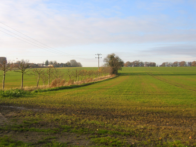
Dry Drayton is a civil parish located in the county of Cambridgeshire, England. Situated approximately 8 miles northwest of the city of Cambridge, it covers an area of around 8.5 square kilometers. As of the 2011 census, the parish had a population of 846 people.

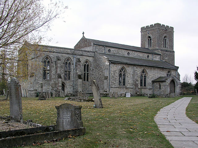
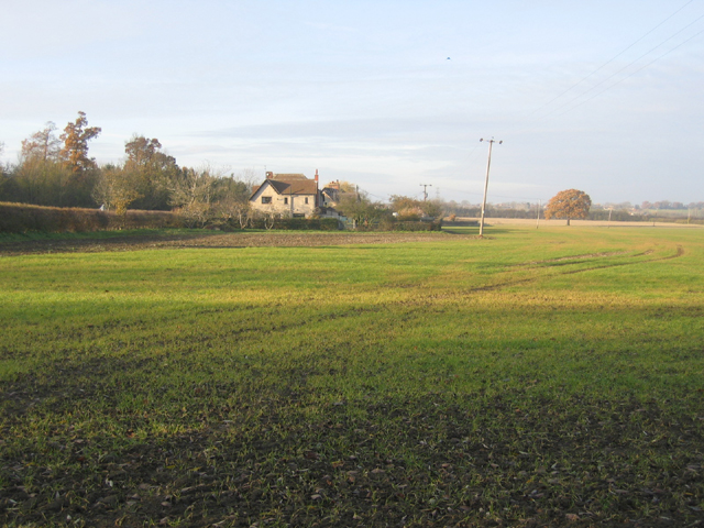
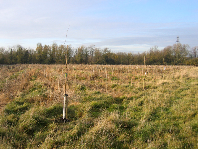
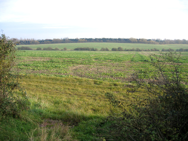
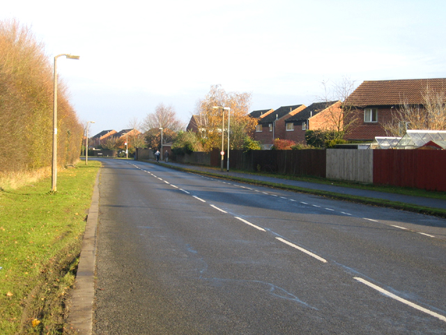
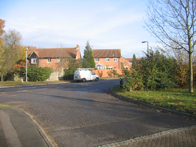
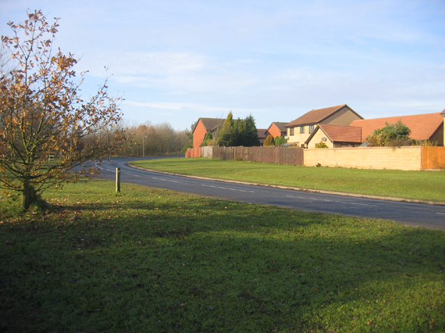
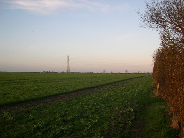
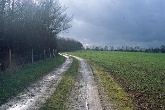
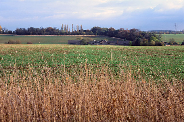
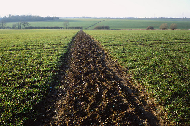
The village of Dry Drayton is known for its picturesque rural setting, surrounded by fields and farmland. It is characterized by a mix of traditional and modern buildings, with some properties dating back several centuries. The parish church, St. Peter and St. Paul, is a prominent feature of the village and dates back to the 13th century.

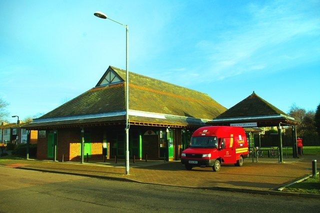
Amenities in Dry Drayton include a primary school, a village hall, and a local pub. The village also benefits from good transport links, with regular bus services connecting it to nearby towns and villages, as well as Cambridge.

The community in Dry Drayton is vibrant and close-knit, with a range of activities and events taking place throughout the year. These include annual fairs, village fetes, and community gatherings. The parish council plays an active role in the local governance and works to improve the quality of life for residents.

Overall, Dry Drayton offers a peaceful and idyllic countryside living experience, while still providing easy access to the amenities and cultural offerings of nearby Cambridge.

If you have any feedback on the listing, please let us know in the comments section below.

Dry Drayton Images

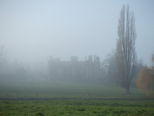
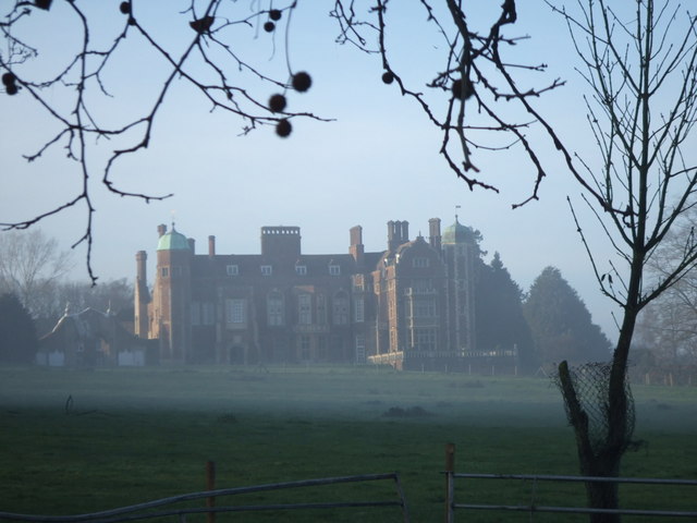
Images are sourced within 2km of 52.234358/0.015187 or Grid Reference TL3761. Thanks to Geograph Open Source API. All images are credited.

Dry Drayton, SS Peter and Paul <span class="nowrap"><a title="http://www.druidic.org/camchurch/churches/drydrayton.htm" rel="nofollow ugc noopener" href="http://www.druidic.org/camchurch/churches/drydrayton.htm">Link</a><img style="margin-left:2px;" alt="External link" title="External link - shift click to open in new window" src="https://s1.geograph.org.uk/img/external.png" width="10" height="10"/></span>
Dry Drayton, SS Peter and Paul
Scotland Farm entrance Looking west from Scotland Road, Dry Drayton. Time about 5pm.
Scotland Farm entrance
Looking west from Scotland Road, Dry Drayton. Time about 5pm.
Farmland and cottages, Madingley, Cambs – view NW, from the bridlepath, of New Farm and cottages on the Dry Drayton Road.
Farmland and cottages, Madingley, Cambs
– view NW, from the bridlepath, of New Farm and cottages on the Dry Drayton Road.
New plantation, Dry Drayton, Cambs – in neat rows, just north of Madingley Road.
New plantation, Dry Drayton, Cambs
– in neat rows, just north of Madingley Road.
Callow Brook valley, Dry Drayton, Cambs – view E across the northern edge of the square from Scotland Road.
Callow Brook valley, Dry Drayton, Cambs
– view E across the northern edge of the square from Scotland Road.
Saxon Way, Bar Hill, Cambs Saxon Way skirts the western part of the settlement, just south of the A14 road; the belt of trees (left) separates the housing estates from the open countryside and village of Lolworth.
Saxon Way, Bar Hill, Cambs
Saxon Way skirts the western part of the settlement, just south of the A14 road; the belt of trees (left) separates the housing estates from the open countryside and village of Lolworth.
Crafts Way, Bar Hill, Cambs View N of Crafts Hill and the perimeter road from Thruffle Way.
Crafts Way, Bar Hill, Cambs
View N of Crafts Hill and the perimeter road from Thruffle Way.
Saxon Way, Bar Hill, Cambs – view of the perimeter road at the southern end of the village.
Saxon Way, Bar Hill, Cambs
– view of the perimeter road at the southern end of the village.
Farmland, Dry Drayton, Cambs – view NW towards the centre of the square from the Oakington Road.
Farmland, Dry Drayton, Cambs
– view NW towards the centre of the square from the Oakington Road.
Line of the Greenwich Meridian The Greenwich Meridian intersects the bend in the footpath marked by the yellow tipped sign and passes directly under the central electricity pylon. This view is true north (and not grid north!).
Line of the Greenwich Meridian
The Greenwich Meridian intersects the bend in the footpath marked by the yellow tipped sign and passes directly under the central electricity pylon. This view is true north (and not grid north!).
Track from New Farm to Park Farm This track lies adjacent to the long shelter bed planted at the boundary of the original Madingley Hall estate.
Track from New Farm to Park Farm
This track lies adjacent to the long shelter bed planted at the boundary of the original Madingley Hall estate.
Madingley Hall in the mist
Madingley Hall,  East Front
Madingley Hall, East Front
Fields of Rectory Farm A view back towards Dry Drayton from the footpath from Dry Drayton towards Lolworth
Fields of Rectory Farm
A view back towards Dry Drayton from the footpath from Dry Drayton towards Lolworth
Bar Hill Library and Post Office The first example of a combined library and post office in the UK.  When their original post office closed, the four thousand residents of Bar Hill were left with a trek to tiny Lolworth (population 160) for the nearest alternative facilities until the library service came to the rescue by offering space for a post office counter.
Bar Hill Library and Post Office
The first example of a combined library and post office in the UK. When their original post office closed, the four thousand residents of Bar Hill were left with a trek to tiny Lolworth (population 160) for the nearest alternative facilities until the library service came to the rescue by offering space for a post office counter.
Footpath to Childerley from Dry Drayton The footpath is muddy in the winter and a battle between towering rape crops in the summer!
Footpath to Childerley from Dry Drayton
The footpath is muddy in the winter and a battle between towering rape crops in the summer!
The entrance to Searles Meadow, Dry Drayton The houses were built in 1988 on the site of farm buildings of the farmer Ben Searle.
The entrance to Searles Meadow, Dry Drayton
The houses were built in 1988 on the site of farm buildings of the farmer Ben Searle.
Bridleway from Madingley to the Huntingdon Road There are some very fine trees along the field edge.  They probably mark a boundary of the Madingley estate in former years.
Bridleway from Madingley to the Huntingdon Road
There are some very fine trees along the field edge. They probably mark a boundary of the Madingley estate in former years.
Show me another place!

Dry Drayton is located at Grid Ref: TL3761 (Lat: 52.234358, Lng: 0.015187)

Administrative County: Cambridgeshire

District: South Cambridgeshire

Police Authority: Cambridgeshire

What 3 Words

///roadways.wipe.disposal. Near Bar Hill, Cambridgeshire

Related Wikis

Dry Drayton

Dry Drayton is a village and civil parish about 5 miles (8 km) northwest of Cambridge in Cambridgeshire, England, listed as Draitone in the Domesday Book...

University of Cambridge Institute of Continuing Education

The University of Cambridge Institute of Continuing Education (ICE) is a department of the University of Cambridge dedicated to providing continuing education...
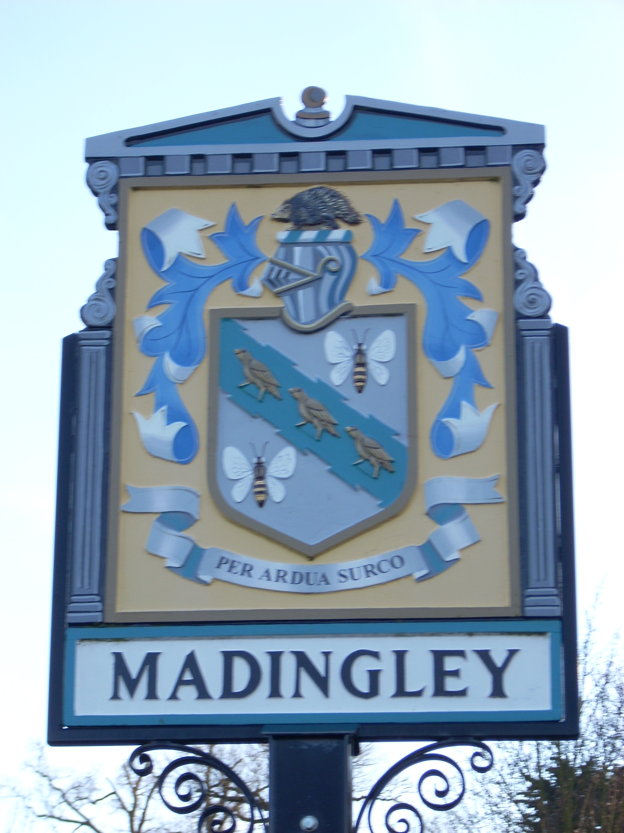
Madingley

Madingley is a small village near Cambridge, England. It is located close to the nearby villages of Coton and Dry Drayton on the western outskirts of Cambridge...

Bar Hill

Bar Hill is a purpose-built village with a population of 4,000 about 4 miles (7 km) northwest of Cambridge, England on the A14 road, just east of the Prime...

Nearby Amenities

Located within 500m of 52.234358,0.015187
Power: tower
Ref: PT 70
Source: dictaphone
Source Ref: interpolation
Lat/Long: 52.23674/0.0112949
Power: tower
Ref: PT 71
Source: dictaphone
Source Ref: interpolation
Lat/Long: 52.2359163/0.0148083
Power: tower
Ref: PT 72
Source: Bing
Source Ref: interpolation
Lat/Long: 52.234726/0.0199785
Fixme: Survey for panel type
Generator Method: photovoltaic
Generator Output Electricity: yes
Generator Source: solar
Generator Type: solar_photovoltaic_panel
Location: roof
Power: generator
Lat/Long: 52.2381346/0.0136887
Information: route_marker
Tourism: information
Lat/Long: 52.2322162/0.0110266
Information: guidepost
Tourism: information
Lat/Long: 52.2321534/0.0112314
Information: route_marker
Tourism: information
Lat/Long: 52.232147/0.0112747
Barrier: stile
Material: wood
Stile: squeezer
Lat/Long: 52.2321534/0.0112511
Information: route_marker
Tourism: information
Lat/Long: 52.2332421/0.0179453
Information: route_marker
Tourism: information
Lat/Long: 52.2332306/0.0180255
Information: guidepost
Tourism: information
Lat/Long: 52.2382952/0.0151706
The data included in this document is from www.openstreetmap.org. The data is made available under ODbL.

Have you been to Dry Drayton?

Leave your review of Dry Drayton below (or comments, questions and feedback).