Fishpond Plantation

Wood, Forest in Cambridgeshire South Cambridgeshire

England

Fishpond Plantation

Dry Drayton, SS Peter and Paul <span class="nowrap"><a title="http://www.druidic.org/camchurch/churches/drydrayton.htm" rel="nofollow ugc noopener" href="http://www.druidic.org/camchurch/churches/drydrayton.htm">Link</a><img style="margin-left:2px;" alt="External link" title="External link - shift click to open in new window" src="https://s1.geograph.org.uk/img/external.png" width="10" height="10"/></span>
Dry Drayton, SS Peter and Paul Credit: mym

Fishpond Plantation is a picturesque woodland located in the county of Cambridgeshire, England. Covering an area of approximately 100 acres, it is situated near the village of Wood, just a few miles outside of Cambridge. The plantation is a popular destination for nature enthusiasts and offers a tranquil retreat from the bustling city life.

The woodland is dominated by a variety of tree species, including oak, beech, and birch, which provide a dense canopy that filters sunlight, creating a cool and shaded environment. The forest floor is carpeted with a diverse range of flora, such as bluebells, wild garlic, and ferns, adding to the area's natural beauty.

One of the main attractions of Fishpond Plantation is the presence of several small ponds scattered throughout the woodland. These ponds are home to a rich array of aquatic wildlife, including newts, frogs, and various species of water insects. They also provide a valuable habitat for a wide range of bird species, making the plantation a haven for birdwatchers.

The plantation is crisscrossed by a network of well-maintained footpaths, allowing visitors to explore the woodland and immerse themselves in its serene surroundings. These paths provide opportunities for leisurely walks, jogging, or even cycling, making it a popular spot for outdoor activities.

In addition to its natural beauty, Fishpond Plantation also boasts a fascinating history. It is believed to have been used as a hunting ground during medieval times, and remnants of ancient boundaries and ditches can still be seen today.

Overall, Fishpond Plantation offers a unique and enchanting experience for nature lovers and history enthusiasts alike, with its diverse wildlife, stunning flora, and intriguing past.

If you have any feedback on the listing, please let us know in the comments section below.

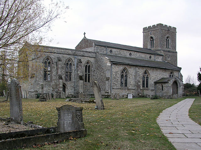
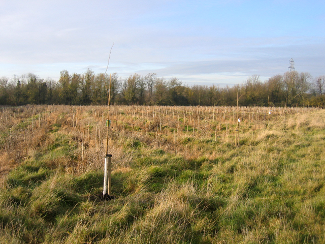
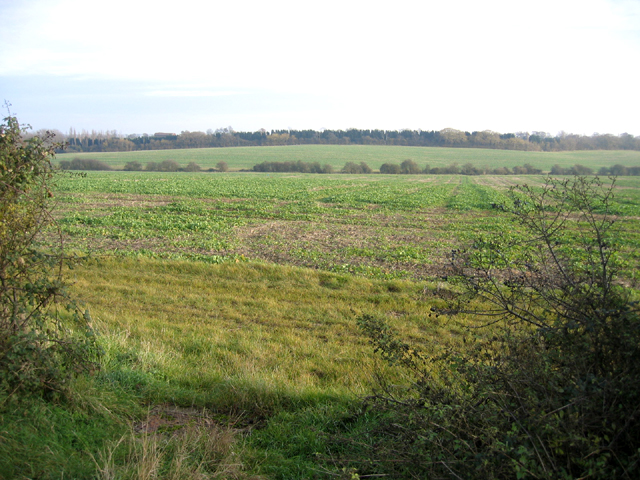
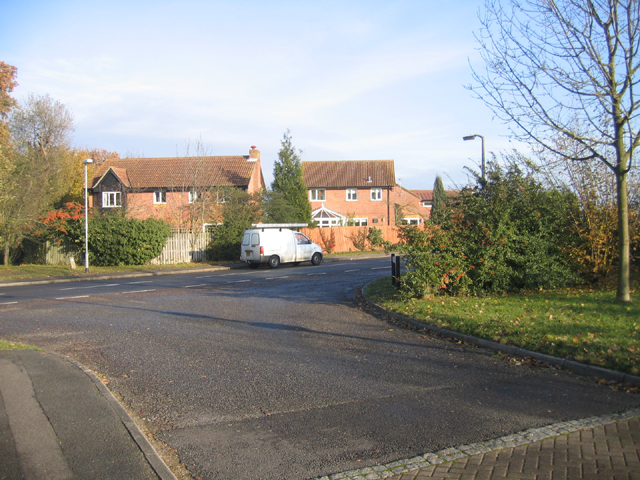
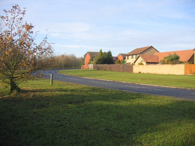
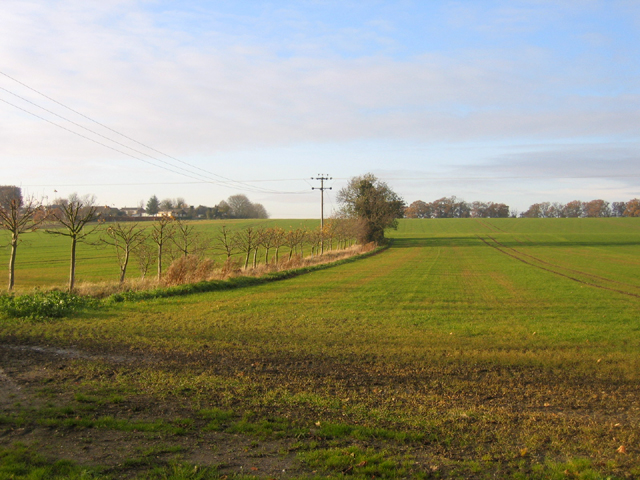
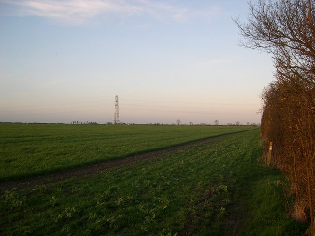
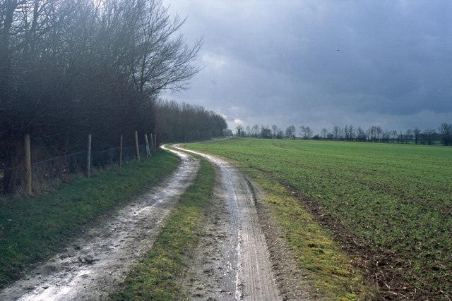
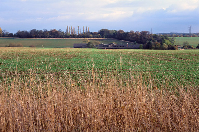
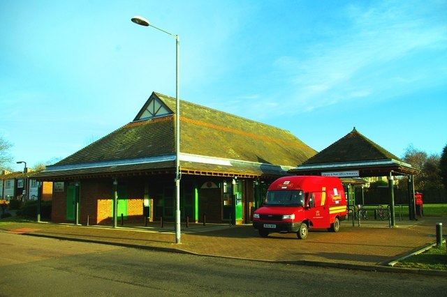
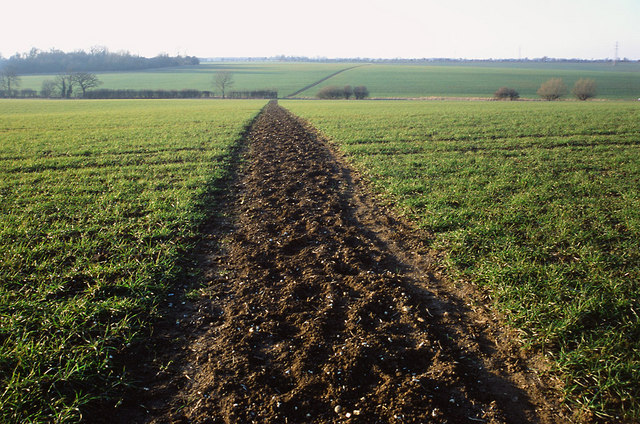
Fishpond Plantation Images

Images are sourced within 2km of 52.2372/0.007406925 or Grid Reference TL3761. Thanks to Geograph Open Source API. All images are credited.

Dry Drayton, SS Peter and Paul <span class="nowrap"><a title="http://www.druidic.org/camchurch/churches/drydrayton.htm" rel="nofollow ugc noopener" href="http://www.druidic.org/camchurch/churches/drydrayton.htm">Link</a><img style="margin-left:2px;" alt="External link" title="External link - shift click to open in new window" src="https://s1.geograph.org.uk/img/external.png" width="10" height="10"/></span>
Dry Drayton, SS Peter and Paul
Scotland Farm entrance Looking west from Scotland Road, Dry Drayton. Time about 5pm.
Scotland Farm entrance
Looking west from Scotland Road, Dry Drayton. Time about 5pm.
The chapel at Childerley Hall A private chapel, but opened for Christmas and Harvest Festival services, apparently. The rest of the hall looks interesting, but not much is visible without trespassing.
The chapel at Childerley Hall
A private chapel, but opened for Christmas and Harvest Festival services, apparently. The rest of the hall looks interesting, but not much is visible without trespassing.
LPG store, Childerley Hall farm Formerly a grain store (note the stilts designed to raise it away from the rats), this building now holds more explosive contents.
LPG store, Childerley Hall farm
Formerly a grain store (note the stilts designed to raise it away from the rats), this building now holds more explosive contents.
New plantation, Dry Drayton, Cambs – in neat rows, just north of Madingley Road.
New plantation, Dry Drayton, Cambs
– in neat rows, just north of Madingley Road.
Callow Brook valley, Dry Drayton, Cambs – view E across the northern edge of the square from Scotland Road.
Callow Brook valley, Dry Drayton, Cambs
– view E across the northern edge of the square from Scotland Road.
Saxon Way, Bar Hill, Cambs Saxon Way skirts the western part of the settlement, just south of the A14 road; the belt of trees (left) separates the housing estates from the open countryside and village of Lolworth.
Saxon Way, Bar Hill, Cambs
Saxon Way skirts the western part of the settlement, just south of the A14 road; the belt of trees (left) separates the housing estates from the open countryside and village of Lolworth.
Crafts Way, Bar Hill, Cambs View N of Crafts Hill and the perimeter road from Thruffle Way.
Crafts Way, Bar Hill, Cambs
View N of Crafts Hill and the perimeter road from Thruffle Way.
Saxon Way, Bar Hill, Cambs – view of the perimeter road at the southern end of the village.
Saxon Way, Bar Hill, Cambs
– view of the perimeter road at the southern end of the village.
Farmland, Dry Drayton, Cambs – view NW towards the centre of the square from the Oakington Road.
Farmland, Dry Drayton, Cambs
– view NW towards the centre of the square from the Oakington Road.
Line of the Greenwich Meridian The Greenwich Meridian intersects the bend in the footpath marked by the yellow tipped sign and passes directly under the central electricity pylon. This view is true north (and not grid north!).
Line of the Greenwich Meridian
The Greenwich Meridian intersects the bend in the footpath marked by the yellow tipped sign and passes directly under the central electricity pylon. This view is true north (and not grid north!).
Footpath and field boundary Quiet and unremarkable Cambridgeshire agricultural land.
Footpath and field boundary
Quiet and unremarkable Cambridgeshire agricultural land.
Track from New Farm to Park Farm This track lies adjacent to the long shelter bed planted at the boundary of the original Madingley Hall estate.
Track from New Farm to Park Farm
This track lies adjacent to the long shelter bed planted at the boundary of the original Madingley Hall estate.
Footpath to nowhere The 1:25,000 OS map shows this footpath petering out as it approaches Boxworth. It is the only right of way in TL3563 and apparently come to a dead end.
Footpath to nowhere
The 1:25,000 OS map shows this footpath petering out as it approaches Boxworth. It is the only right of way in TL3563 and apparently come to a dead end.
Fields of Rectory Farm A view back towards Dry Drayton from the footpath from Dry Drayton towards Lolworth
Fields of Rectory Farm
A view back towards Dry Drayton from the footpath from Dry Drayton towards Lolworth
Bar Hill Library and Post Office The first example of a combined library and post office in the UK.  When their original post office closed, the four thousand residents of Bar Hill were left with a trek to tiny Lolworth (population 160) for the nearest alternative facilities until the library service came to the rescue by offering space for a post office counter.
Bar Hill Library and Post Office
The first example of a combined library and post office in the UK. When their original post office closed, the four thousand residents of Bar Hill were left with a trek to tiny Lolworth (population 160) for the nearest alternative facilities until the library service came to the rescue by offering space for a post office counter.
Footpath to Childerley from Dry Drayton The footpath is muddy in the winter and a battle between towering rape crops in the summer!
Footpath to Childerley from Dry Drayton
The footpath is muddy in the winter and a battle between towering rape crops in the summer!
The entrance to Searles Meadow, Dry Drayton The houses were built in 1988 on the site of farm buildings of the farmer Ben Searle.
The entrance to Searles Meadow, Dry Drayton
The houses were built in 1988 on the site of farm buildings of the farmer Ben Searle.
Show me another place!

Fishpond Plantation is located at Grid Ref: TL3761 (Lat: 52.2372, Lng: 0.007406925)

Administrative County: Cambridgeshire

District: South Cambridgeshire

Police Authority: Cambridgeshire

What 3 Words

///universe.shackles.grit. Near Bar Hill, Cambridgeshire

Related Wikis

Dry Drayton

Dry Drayton is a village and civil parish about 5 miles (8 km) northwest of Cambridge in Cambridgeshire, England, listed as Draitone in the Domesday Book...

Childerley

Childerley, also known as Great Childerley and Little Childerly, was a small rural village in the county of Cambridgeshire in the East of England, United...

Bar Hill

Bar Hill is a purpose-built village with a population of 4,000 about 4 miles (7 km) northwest of Cambridge, England on the A14 road, just east of the Prime...

Lolworth

Lolworth is a small village and civil parish in the district of South Cambridgeshire, in the county of Cambridgeshire, England, located approximately 8...

University of Cambridge Institute of Continuing Education

The University of Cambridge Institute of Continuing Education (ICE) is a department of the University of Cambridge dedicated to providing continuing education...

Madingley

Madingley is a small village near Cambridge, England. It is located close to the nearby villages of Coton and Dry Drayton on the western outskirts of Cambridge...

Hardwick, Cambridgeshire

Hardwick is a village and civil parish in the county of Cambridgeshire, England with a large housing estate located about 6 miles (9.7 km) west of the...

Boxworth

Boxworth is a village in South Cambridgeshire, situated about eight miles to the north-west of Cambridge. It falls under the Papworth Everard and Caxton...

Nearby Amenities

Located within 500m of 52.2372,0.007406925
Power: tower
Ref: PT 70
Source: dictaphone
Source Ref: interpolation
Lat/Long: 52.23674/0.0112949
Power: tower
Ref: PT 69
Source Ref: interpolation
Lat/Long: 52.237777/0.0067917
Power: tower
Ref: PT 68
Source Ref: interpolation
Lat/Long: 52.2388688/0.0021394
Fixme: Survey for panel type
Generator Method: photovoltaic
Generator Output Electricity: yes
Generator Source: solar
Generator Type: solar_photovoltaic_panel
Location: roof
Power: generator
Lat/Long: 52.2381346/0.0136887
Information: route_marker
Tourism: information
Lat/Long: 52.238823/0.0078924
Information: route_marker
Tourism: information
Lat/Long: 52.2388582/0.0082257
Information: route_marker
Tourism: information
Lat/Long: 52.2391816/0.0120492
Information: route_marker
Tourism: information
Lat/Long: 52.239157/0.012165
The data included in this document is from www.openstreetmap.org. The data is made available under ODbL.

Have you been to Fishpond Plantation?

Leave your review of Fishpond Plantation below (or comments, questions and feedback).