Droitwich Spa
Civil Parish in Worcestershire Wychavon
England
Droitwich Spa
Droitwich Spa is a civil parish located in the county of Worcestershire, England. Situated approximately 6 miles north of Worcester, it lies in the West Midlands region and is part of the larger Wychavon district. The town is known for its rich history and natural brine springs, which have been an attraction for centuries.
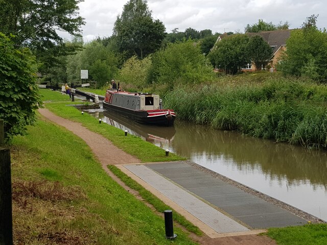
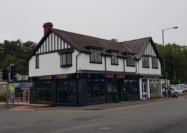
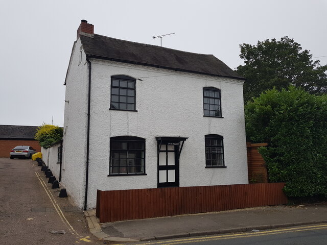
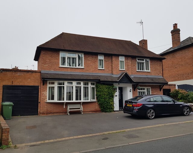
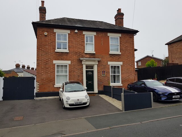
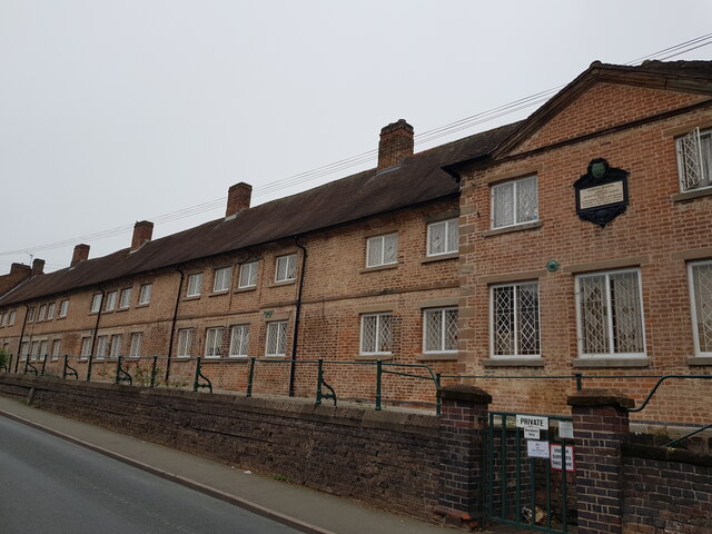
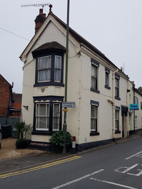
The town of Droitwich Spa has a population of around 23,000 people. It is nestled between the River Salwarpe and the Worcester and Birmingham Canal, offering picturesque views and a tranquil atmosphere. The town has a mix of architectural styles, with buildings ranging from medieval timber-framed structures to Georgian and Victorian designs.
The natural brine springs of Droitwich Spa have been utilized for their therapeutic properties since Roman times. The town's name itself reflects this, with "Spa" referring to its historical association with medicinal waters. Today, the Droitwich Spa Brine Baths Complex offers visitors the opportunity to experience the healing benefits of salt-water spa treatments.
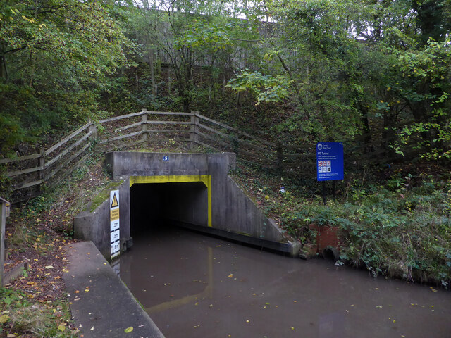
Besides its historical significance, Droitwich Spa also boasts a range of amenities and attractions. The town center features a variety of shops, restaurants, and pubs, providing a vibrant social scene. Outdoor enthusiasts can explore the nearby Droitwich Canals, which offer scenic walks and boat trips. The Chateau Impney Hotel and Hagley Hall are popular venues for events and weddings, adding to the town's charm.
Overall, Droitwich Spa is a picturesque and historically significant town with a diverse range of attractions. Whether it's exploring its ancient brine springs or enjoying the natural beauty of the surrounding area, visitors to Droitwich Spa will find a unique and memorable experience.
If you have any feedback on the listing, please let us know in the comments section below.
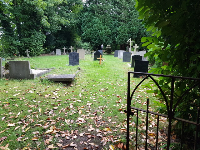
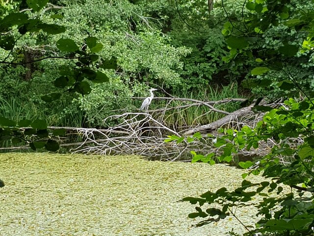
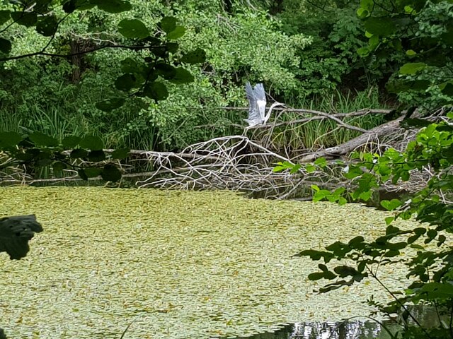
Droitwich Spa Images
Images are sourced within 2km of 52.263588/-2.154172 or Grid Reference SO8962. Thanks to Geograph Open Source API. All images are credited.


Droitwich Spa is located at Grid Ref: SO8962 (Lat: 52.263588, Lng: -2.154172)
Administrative County: Worcestershire
District: Wychavon
Police Authority: West Mercia
What 3 Words
///trio.answer.boot. Near Droitwich, Worcestershire
Nearby Locations
Related Wikis

Droitwich Spa
Droitwich Spa (often abbreviated to Droitwich ) is a historic spa town in the Wychavon district in northern Worcestershire, England, on the River Salwarpe...

Droitwich Spa railway station
Droitwich Spa railway station serves the town of Droitwich Spa in Worcestershire, England. It is located just to the south-west of Droitwich Spa Junction...

Church of the Sacred Heart and St Catherine of Alexandria
The Church of the Sacred Heart and St Catherine of Alexandria is a Catholic church situated in Droitwich Spa, Worcestershire, England, noted for its remarkable...

Old Town Hall, Droitwich Spa
The Old Town Hall is a municipal building in St Andrews Street, Droitwich Spa, Worcestershire, England. The structure, which was the headquarters of Droitwich...

Droitwich Spa Lido
The Droitwich Spa Lido is a lido in Droitwich Spa, Worcestershire, England. It is one of the few remaining inland, open-air salt-water swimming pools...

Droitwich Spa High School
Droitwich Spa High School is a secondary school and specialist Sports College with academy status in Droitwich Spa, Worcestershire, England. It serves...
RGS Dodderhill
RGS Dodderhill is a private school on the outskirts of Droitwich Spa, Worcestershire, England. Girls & Boys are educated from 2–11 years of age - most...
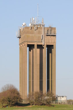
Droitwich Water Tower
The Droitwich Water Tower, also known as Yew Tree Hill Water Tower, is a structure on Yew Tree Hill in Droitwich, England, owned and operated by Severn...
Nearby Amenities
Located within 500m of 52.263588,-2.154172Have you been to Droitwich Spa?
Leave your review of Droitwich Spa below (or comments, questions and feedback).