Witton
Settlement in Worcestershire Wychavon
England
Witton
Witton is a small village located in the county of Worcestershire, England. Situated about 10 miles northwest of the city of Worcester, it is nestled in the picturesque countryside of the West Midlands region. With a population of around 500 residents, Witton is a close-knit community that offers a peaceful and idyllic setting.
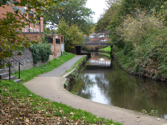
The village is surrounded by rolling hills and farmland, giving it a serene and rural atmosphere. The landscape is dotted with traditional English cottages and farmhouses, adding to the charm and character of the area. The nearby River Severn also runs through Witton, providing scenic views and recreational opportunities for locals and visitors alike.
Witton is known for its strong sense of community, with various events and activities organized throughout the year. The village hall serves as a hub for social gatherings, hosting events such as fairs, concerts, and community meetings. The local pub, The Witton Arms, is a popular spot for residents to relax and socialize.
Despite its small size, Witton benefits from its proximity to larger towns and cities. Worcester, with its historical attractions, shopping centers, and leisure facilities, is easily accessible for residents seeking a wider range of amenities. Additionally, the village is well-connected by road, with the M5 motorway just a short drive away, providing easy access to other parts of the region.
In summary, Witton is a quaint and peaceful village that offers a close-knit community, stunning countryside views, and convenient access to nearby amenities. It is an ideal destination for those seeking a tranquil and picturesque place to call home.
If you have any feedback on the listing, please let us know in the comments section below.
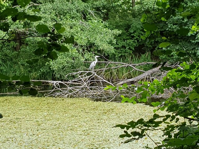
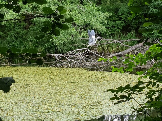
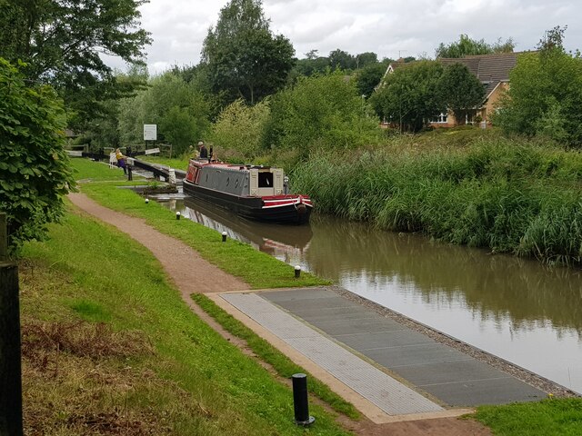
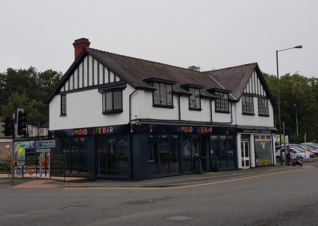
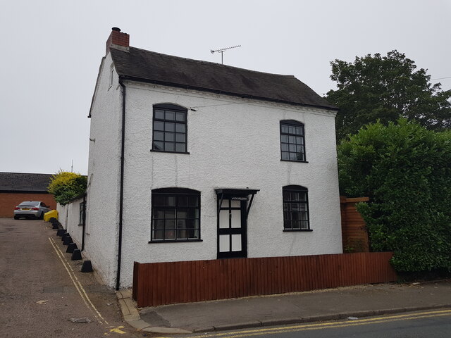
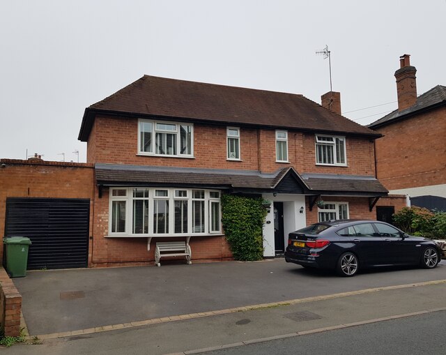
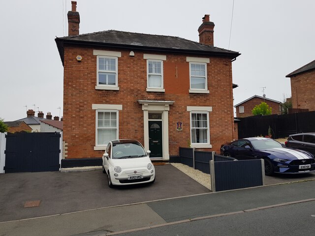
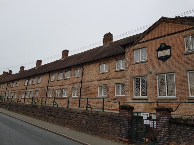
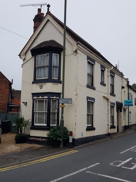
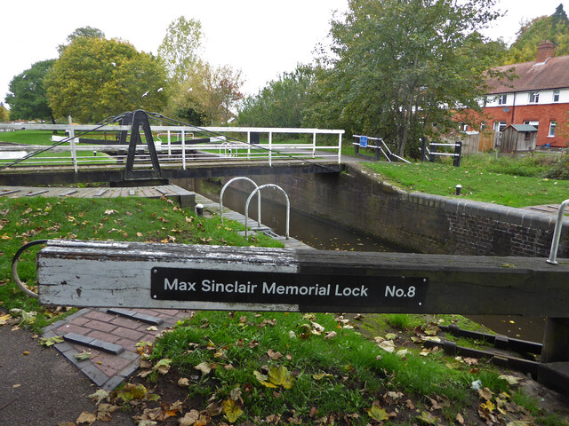
Witton Images
Images are sourced within 2km of 52.256228/-2.1573535 or Grid Reference SO8962. Thanks to Geograph Open Source API. All images are credited.


Witton is located at Grid Ref: SO8962 (Lat: 52.256228, Lng: -2.1573535)
Administrative County: Worcestershire
District: Wychavon
Police Authority: West Mercia
What 3 Words
///glad.artist.hips. Near Droitwich, Worcestershire
Nearby Locations
Related Wikis

Church of the Sacred Heart and St Catherine of Alexandria
The Church of the Sacred Heart and St Catherine of Alexandria is a Catholic church situated in Droitwich Spa, Worcestershire, England, noted for its remarkable...
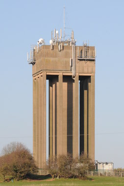
Droitwich Water Tower
The Droitwich Water Tower, also known as Yew Tree Hill Water Tower, is a structure on Yew Tree Hill in Droitwich, England, owned and operated by Severn...

Droitwich Spa
Droitwich Spa (often abbreviated to Droitwich ) is a historic spa town in the Wychavon district in northern Worcestershire, England, on the River Salwarpe...

Droitwich Spa railway station
Droitwich Spa railway station serves the town of Droitwich Spa in Worcestershire, England. It is located just to the south-west of Droitwich Spa Junction...

Droitwich Spa Lido
The Droitwich Spa Lido is a lido in Droitwich Spa, Worcestershire, England. It is one of the few remaining inland, open-air salt-water swimming pools...

Droitwich Spa High School
Droitwich Spa High School is a secondary school and specialist Sports College with academy status in Droitwich Spa, Worcestershire, England. It serves...

Old Town Hall, Droitwich Spa
The Old Town Hall is a municipal building in St Andrews Street, Droitwich Spa, Worcestershire, England. The structure, which was the headquarters of Droitwich...

Salwarpe
Salwarpe is a small village and civil parish in the Wychavon district of Worcestershire, England, less than two miles south west of Droitwich, but in open...
Nearby Amenities
Located within 500m of 52.256228,-2.1573535Have you been to Witton?
Leave your review of Witton below (or comments, questions and feedback).