Doxey
Civil Parish in Staffordshire Stafford
England
Doxey
Doxey is a civil parish located in the county of Staffordshire, England. It is situated approximately 2 miles southwest of the town of Stafford, and covers an area of about 7 square miles. The parish is predominantly rural, with a population of around 1,000 residents.
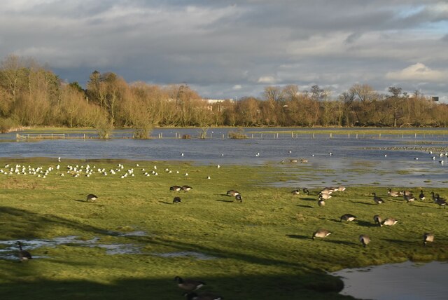
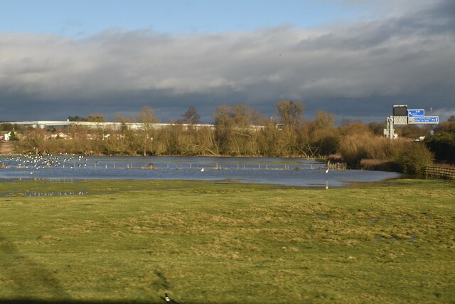
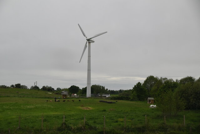
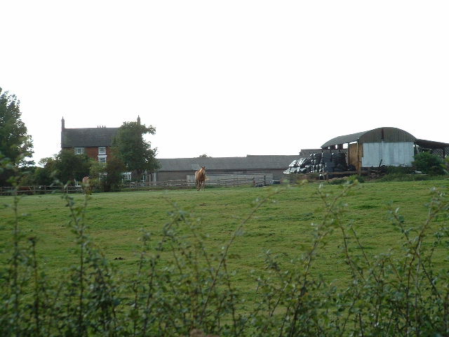
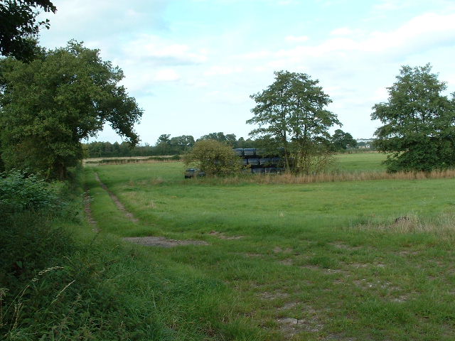
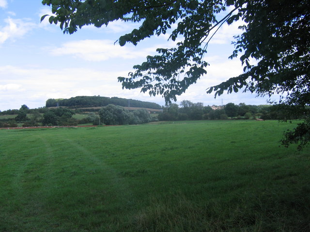
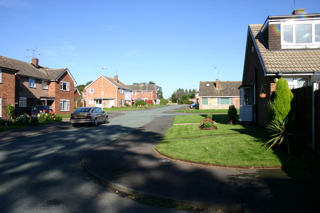
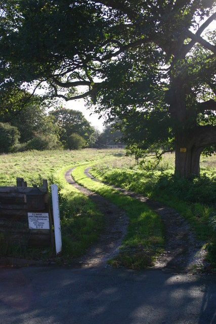
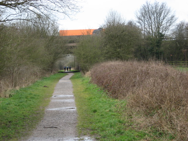
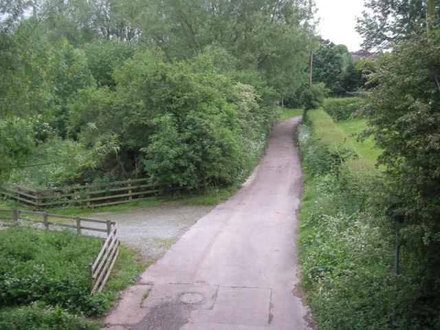
Doxey is known for its picturesque countryside and charming rural setting. The area is characterized by rolling hills, meadows, and fields, providing a tranquil and idyllic atmosphere for its residents. The parish is surrounded by beautiful natural landscapes, including the nearby Staffordshire countryside and Cannock Chase, a designated Area of Outstanding Natural Beauty.
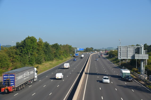
Despite its rural nature, Doxey benefits from its proximity to the town of Stafford, which offers a range of amenities and services. The town provides residents with access to schools, healthcare facilities, shopping centers, and recreational activities. The parish also has good transport links, with easy access to major roads and rail connections, making it a convenient location for commuting to nearby towns and cities.
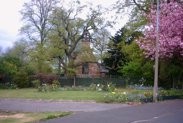
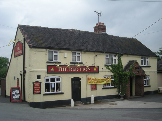
Doxey has a strong sense of community, with various local events and activities organized throughout the year. The parish has a village hall that serves as a hub for social gatherings and community events. Additionally, Doxey has a number of historic buildings and landmarks, including a 12th-century church, which adds to its cultural heritage.
Overall, Doxey offers a peaceful and rural lifestyle, combined with the convenience of nearby amenities, making it an attractive place to live for those seeking a balance between countryside living and access to urban facilities.
If you have any feedback on the listing, please let us know in the comments section below.
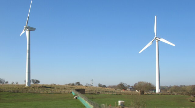
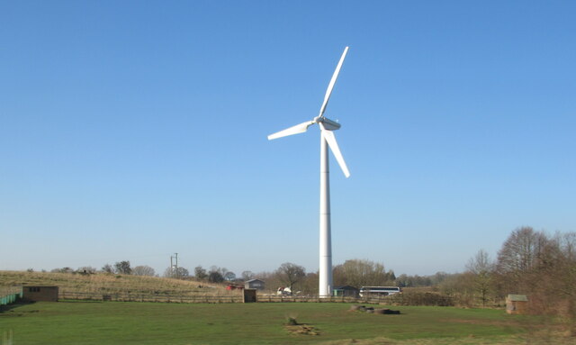
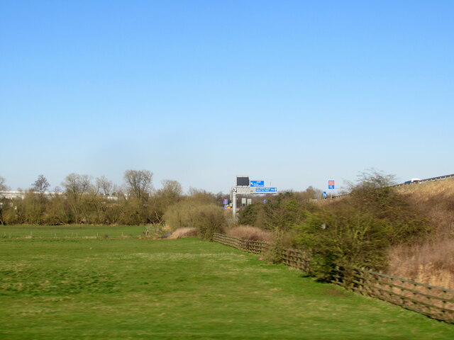
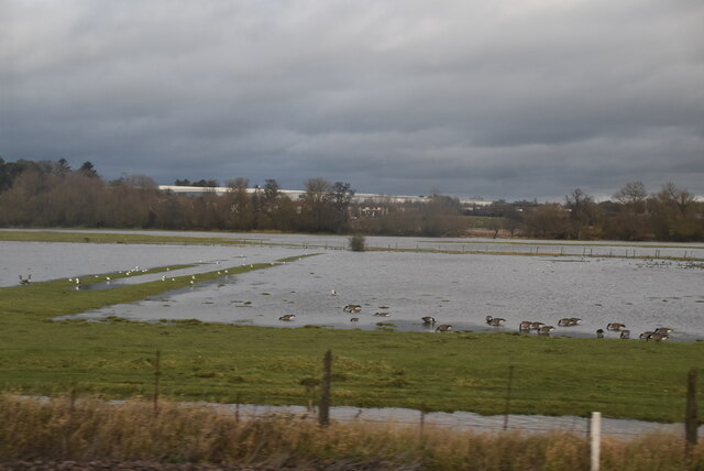
Doxey Images
Images are sourced within 2km of 52.811984/-2.145868 or Grid Reference SJ9023. Thanks to Geograph Open Source API. All images are credited.
Doxey is located at Grid Ref: SJ9023 (Lat: 52.811984, Lng: -2.145868)
Administrative County: Staffordshire
District: Stafford
Police Authority: Staffordshire
What 3 Words
///trick.bill.shovels. Near Stafford, Staffordshire
Related Wikis

Doxey
Doxey is a village and civil parish in the borough of Stafford in Staffordshire, England. It is a north-western suburb of Stafford. The village became...

Doxey Marshes
Doxey Marshes is a 150 hectares (370 acres) nature reserve located within two miles of Stafford town centre, and is managed by Staffordshire Wildlife Trust...
Holmcroft
Holmcroft is the name of a Stafford, Staffordshire, England, residential estate approximately 1½ miles north of Stafford town centre, situated in a geographic...

Stafford Castle
Stafford Castle is an ancient Grade II listed castle situated two miles west of the town of Stafford in Staffordshire, England. From the time of the Norman...
Stafford Rural District
Stafford Rural District was a rural district in the county of Staffordshire. It was created in 1894 and abolished in 1974 by virtue of the Local Government...

Aston, Stafford
Aston is a hamlet in the county of Staffordshire, England. Aston was recorded in the Domesday Book as Estone. == References ==

Tillington, Staffordshire
Tillington is an area of Stafford, in Staffordshire, England. The area lies about 1½ miles north of the town centre. Essentially, the district lies within...
Stafford power station
Stafford power station supplied electricity to the town of Stafford, England and the surrounding area from 1895 to 1958. It was initially owned and operated...
Nearby Amenities
Located within 500m of 52.811984,-2.145868Have you been to Doxey?
Leave your review of Doxey below (or comments, questions and feedback).