Dowsby

Civil Parish in Lincolnshire South Kesteven

England

Dowsby

Ford between Graby and Aslackby
Ford between Graby and Aslackby Credit: Terry Butcher

Dowsby is a civil parish located in the county of Lincolnshire, England. It is situated in the South Kesteven district, approximately 10 miles east of the town of Stamford. The parish covers an area of around 1,200 hectares and is home to a small population of approximately 300 residents.

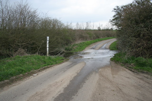
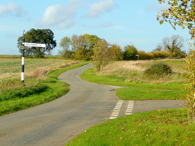
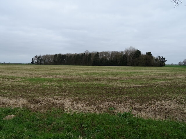
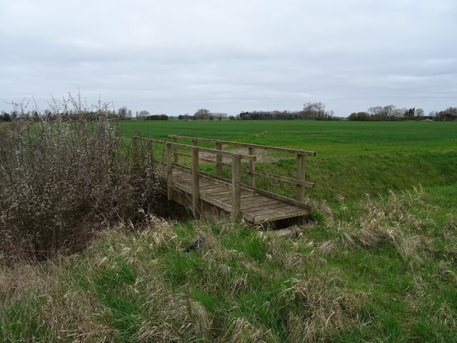
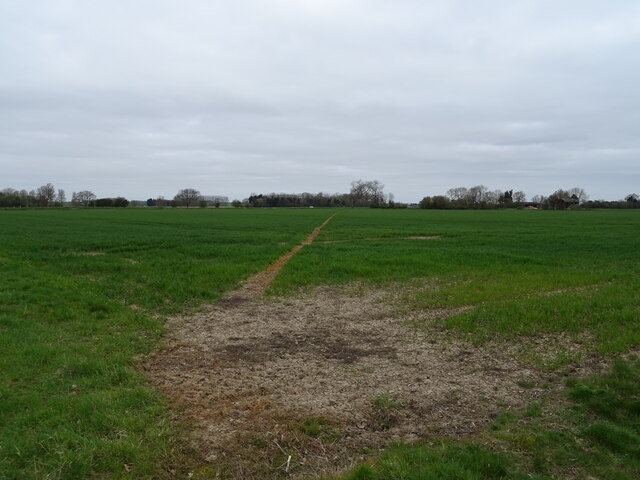
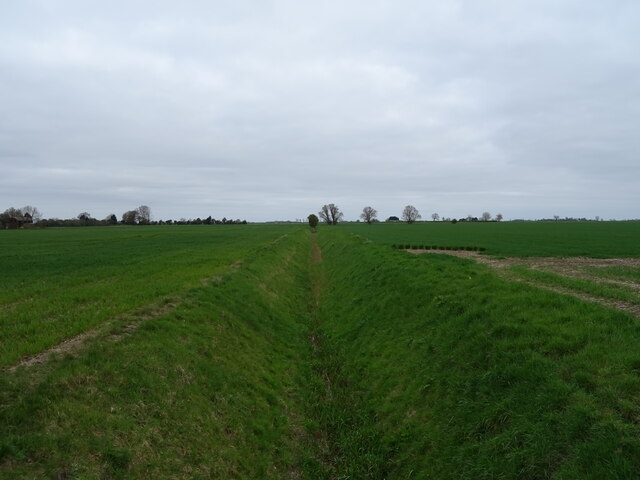
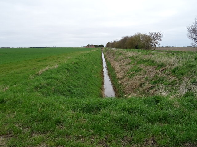
The village of Dowsby is known for its picturesque countryside and rural charm. The landscape is predominantly agricultural, with vast expanses of farmland surrounding the settlement. The area is characterized by rolling hills, open fields, and hedgerows, providing a peaceful and idyllic setting for residents and visitors alike.

The parish is predominantly residential, with a mix of traditional and modern housing. The village center features a small range of amenities, including a village hall and a local pub, serving as a social hub for the community. The parish church, St. Andrew's, is a notable landmark and dates back to the 13th century, adding historical and architectural interest to the area.

The village is well-connected to surrounding towns and cities, with good transport links to Stamford, Bourne, and Grantham. This allows residents easy access to a wider range of amenities, employment opportunities, and leisure facilities.

Dowsby offers a peaceful and close-knit community, where residents can enjoy a rural lifestyle, while still having access to nearby urban centers. Its charming countryside, historic landmarks, and friendly atmosphere make Dowsby an attractive place to live or visit in Lincolnshire.

If you have any feedback on the listing, please let us know in the comments section below.

Dowsby Images

Images are sourced within 2km of 52.853902/-0.348889 or Grid Reference TF1129. Thanks to Geograph Open Source API. All images are credited.

Ford between Graby and Aslackby
The  Mareham Lane ford The Mareham Lane ford from the south
The Mareham Lane ford
The Mareham Lane ford from the south
Ford at Mareham Lane, Graby This ford on the Roman Road called Mareham Lane on the Marse Dike.
Ford at Mareham Lane, Graby
This ford on the Roman Road called Mareham Lane on the Marse Dike.
Entering Graby A small farming community in South Lincolnshire.
Entering Graby
A small farming community in South Lincolnshire.
Footpath to Graby Old stubble land left fallow in the field.
Footpath to Graby
Old stubble land left fallow in the field.
Country lanes Two sets of fingerpost signs in rural South Lincolnshire.
Country lanes
Two sets of fingerpost signs in rural South Lincolnshire.
A ford on Mareham Lane towards Graby
Houses on Main Road, Dowsby
Bus stop and shelter on Main Road, Dowsby
Woodland near Dowsby
Track (footpath) heading north from the B1397, Dowsby
B1397 heading east from Dowsby Towards Gosberton  Clough.
B1397 heading east from Dowsby
Towards Gosberton Clough.
Footbridge over Drain
Footpath over crop field Towards Old Decoy Farm.
Footpath over crop field
Towards Old Decoy Farm.
Drain north of Fen Road, Dowsby Fen The Fens, also known as the Fenland, is a naturally marshy region in eastern England. Most of the fens were drained several centuries ago, resulting in a flat, damp, low-lying agricultural region.
A fen is the local name for an individual area of marshland or former marshland and also designates the type of marsh typical of the area, which has neutral or alkaline water chemistry and relatively large quantities of dissolved minerals, but few other plant nutrients.
Fenland primarily lies around the coast of the Wash; it reaches into four counties: Lincolnshire, Cambridgeshire, Norfolk and a small area of Suffolk, as well as the historic county of Huntingdonshire. In whole it occupies an area of nearly 1,500 sq miles.
Most of the Fenland lies within a few metres of sea level. As with similar areas in the Netherlands, much of the Fenland originally consisted of fresh- or salt-water wetlands, which have been artificially drained and continue to be protected from floods by drainage banks and pumps.
Drain north of Fen Road, Dowsby Fen
The Fens, also known as the Fenland, is a naturally marshy region in eastern England. Most of the fens were drained several centuries ago, resulting in a flat, damp, low-lying agricultural region. A fen is the local name for an individual area of marshland or former marshland and also designates the type of marsh typical of the area, which has neutral or alkaline water chemistry and relatively large quantities of dissolved minerals, but few other plant nutrients. Fenland primarily lies around the coast of the Wash; it reaches into four counties: Lincolnshire, Cambridgeshire, Norfolk and a small area of Suffolk, as well as the historic county of Huntingdonshire. In whole it occupies an area of nearly 1,500 sq miles. Most of the Fenland lies within a few metres of sea level. As with similar areas in the Netherlands, much of the Fenland originally consisted of fresh- or salt-water wetlands, which have been artificially drained and continue to be protected from floods by drainage banks and pumps.
Drain beside Fen Road, Dowsby Fen The Fens, also known as the Fenland, is a naturally marshy region in eastern England. Most of the fens were drained several centuries ago, resulting in a flat, damp, low-lying agricultural region.
A fen is the local name for an individual area of marshland or former marshland and also designates the type of marsh typical of the area, which has neutral or alkaline water chemistry and relatively large quantities of dissolved minerals, but few other plant nutrients.
Fenland primarily lies around the coast of the Wash; it reaches into four counties: Lincolnshire, Cambridgeshire, Norfolk and a small area of Suffolk, as well as the historic county of Huntingdonshire. In whole it occupies an area of nearly 1,500 sq miles.
Most of the Fenland lies within a few metres of sea level. As with similar areas in the Netherlands, much of the Fenland originally consisted of fresh- or salt-water wetlands, which have been artificially drained and continue to be protected from floods by drainage banks and pumps.
Drain beside Fen Road, Dowsby Fen
The Fens, also known as the Fenland, is a naturally marshy region in eastern England. Most of the fens were drained several centuries ago, resulting in a flat, damp, low-lying agricultural region. A fen is the local name for an individual area of marshland or former marshland and also designates the type of marsh typical of the area, which has neutral or alkaline water chemistry and relatively large quantities of dissolved minerals, but few other plant nutrients. Fenland primarily lies around the coast of the Wash; it reaches into four counties: Lincolnshire, Cambridgeshire, Norfolk and a small area of Suffolk, as well as the historic county of Huntingdonshire. In whole it occupies an area of nearly 1,500 sq miles. Most of the Fenland lies within a few metres of sea level. As with similar areas in the Netherlands, much of the Fenland originally consisted of fresh- or salt-water wetlands, which have been artificially drained and continue to be protected from floods by drainage banks and pumps.
George VI postbox on Main Road, Dowsby Postbox No. PE10 224.

See <a href="https://www.geograph.org.uk/photo/7011611">TF1129 : Houses on Main Road, Dowsby</a> for context.
George VI postbox on Main Road, Dowsby
Postbox No. PE10 224. See TF1129 : Houses on Main Road, Dowsby for context.
Houses on Main Road, Dowsby Showing position of Postbox No. PE10 224.

See <a href="https://www.geograph.org.uk/photo/7011610">TF1129 : George VI postbox on Main Road, Dowsby</a> for postbox.
Houses on Main Road, Dowsby
Showing position of Postbox No. PE10 224. See TF1129 : George VI postbox on Main Road, Dowsby for postbox.
Show me another place!

Dowsby is located at Grid Ref: TF1129 (Lat: 52.853902, Lng: -0.348889)

Administrative County: Lincolnshire

District: South Kesteven

Police Authority: Lincolnshire

What 3 Words

///groom.promoted.suspended. Near Billingborough, Lincolnshire

Nearby Locations

Dowsby Dowsby

Related Wikis

Dowsby

Dowsby is a village and civil parish in the South Kesteven district of Lincolnshire, England. It is situated on the western edge of The Fens at the junction...

Dowsby Hall

Dowsby Hall is an early 17th-century house situated in Dowsby, Lincolnshire, England, and 6 miles (10 km) to the north of Bourne. Originally a much grander...

Rippingale railway station

Rippingale railway station was a station serving the villages of Rippingale, Dowsby and Dunsby, Lincolnshire on the Great Northern Railway Bourne and Sleaford...

Pointon

Pointon is a village in the civil parish of Pointon and Sempringham, in the South Kesteven district of Lincolnshire, England. In 2021 the parish of "Pointon...

Nearby Amenities

Located within 500m of 52.853902,-0.348889
Dowsby
Is In: Lincolnshire, England, UK
Place: hamlet
Lat/Long: 52.8517971/-0.3480069
Bus Stop
St Andrew's Church
Naptan AtcoCode: 270000008732
Naptan Bearing: SE
Naptan CommonName: St Andrew's Church
Naptan Indicator: opp
Naptan Landmark: St Andrew's Church
Naptan NaptanCode: lingtpwm
Naptan Street: Main Road
Naptan Verified: no
Source: naptan_import
Lat/Long: 52.8497622/-0.347462
Bus Stop
Fen Road
Naptan AtcoCode: 270000008733
Naptan Bearing: S
Naptan CommonName: Fen Road
Naptan Indicator: adj
Naptan Landmark: Fen Road
Naptan NaptanCode: lingtpwp
Naptan Street: Main Road
Naptan Verified: no
Source: naptan_import
Toilets Wheelchair: no
Wheelchair: no
Lat/Long: 52.8522939/-0.3484946
Bus Stop
St Andrew's Church
Naptan AtcoCode: 2700LDC00426
Naptan Bearing: NW
Naptan CommonName: St Andrew's Church
Naptan Indicator: adj
Naptan Landmark: St Andrew's Church
Naptan NaptanCode: linadpgp
Naptan Street: Main Road
Naptan Verified: no
Source: naptan_import
Lat/Long: 52.8496178/-0.3475433
Bus Stop
Fen Road
Naptan AtcoCode: 2700LDTB2090
Naptan Bearing: N
Naptan CommonName: Fen Road
Naptan Indicator: opp
Naptan Landmark: Fen Road
Naptan NaptanCode: linapdwp
Naptan Street: Main Road
Naptan Verified: no
Source: naptan_import
Toilets Wheelchair: no
Wheelchair: no
Lat/Long: 52.8523326/-0.3486862
Spinney Farm
Place: farm
Source: Bing
Lat/Long: 52.8499007/-0.3467051
Power: pole
Lat/Long: 52.8511739/-0.3542363
Power: pole
Lat/Long: 52.8519973/-0.3533536
Power: pole
Lat/Long: 52.8527819/-0.3524795
Power: pole
Lat/Long: 52.8527977/-0.3517755
Power: pole
Lat/Long: 52.8528903/-0.3503008
Power: pole
Lat/Long: 52.8529354/-0.3495236
Power: pole
Lat/Long: 52.8534969/-0.3527488
Power: pole
Lat/Long: 52.8542222/-0.3530116
Power: pole
Lat/Long: 52.8550688/-0.3533301
Power: pole
Lat/Long: 52.8559515/-0.353734
Power: pole
Lat/Long: 52.8568613/-0.3541636
Post Box
Post Box Mounting: wooden_post
Post Box Type: lamp
Lat/Long: 52.8520141/-0.3486724
Defibrillator
Defibrillator Location: outside Dowsby Village Hall - to left of entrance
Emergency: defibrillator
Indoor: no
Lat/Long: 52.8513331/-0.3483332
Entrance: yes
Lat/Long: 52.8513159/-0.3483416
The data included in this document is from www.openstreetmap.org. The data is made available under ODbL.

Have you been to Dowsby?

Leave your review of Dowsby below (or comments, questions and feedback).