Doxey

Settlement in Staffordshire Stafford

England

Doxey

Wind turbines near Doxey, Staffordshire
Wind turbines near Doxey, Staffordshire Credit: Roy Hughes

Doxey is a small village located in Staffordshire, England. Situated about two miles southwest of Stafford, the village is nestled in the picturesque countryside, offering a serene and peaceful setting for its residents. With a population of around 1,000 people, Doxey maintains a close-knit community atmosphere that is characteristic of many rural English villages.

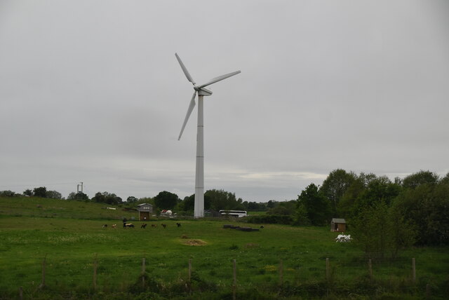
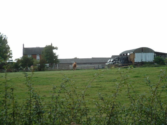
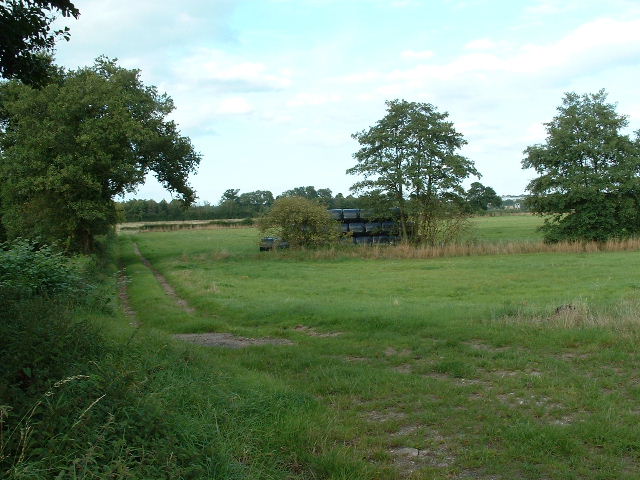
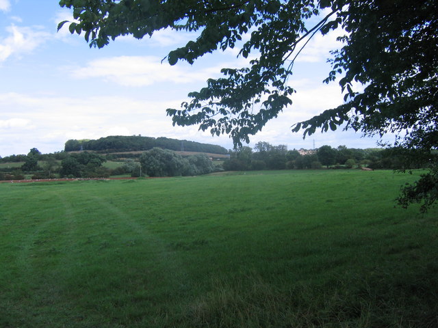
The village is known for its beautiful landscapes, with rolling hills and lush green fields surrounding the area. This makes it an ideal location for those who enjoy outdoor activities such as hiking, cycling, and horseback riding. The nearby Cannock Chase, an Area of Outstanding Natural Beauty, provides ample opportunities for nature enthusiasts to explore the local flora and fauna.

Doxey has a rich history that dates back to the 11th century when it was mentioned in the Domesday Book. Over the centuries, the village has seen various developments, but it has managed to preserve its historic charm. St. Thomas and St. Andrew's Church, a Grade II listed building, stands as a testament to Doxey's architectural heritage.

In terms of amenities, Doxey has a community center that serves as a hub for social events and gatherings. The village also boasts a primary school, ensuring that families have access to quality education for their children. While Doxey itself may not have a wide range of shops and services, the nearby town of Stafford provides residents with all the necessary amenities and conveniences.

Overall, Doxey offers a tranquil and idyllic setting for those seeking a peaceful village lifestyle, while still having easy access to larger towns and cities in Staffordshire.

If you have any feedback on the listing, please let us know in the comments section below.
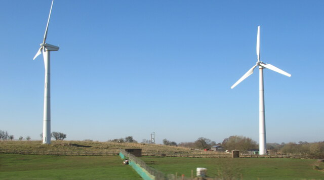
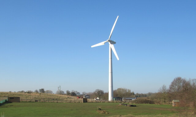
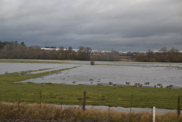
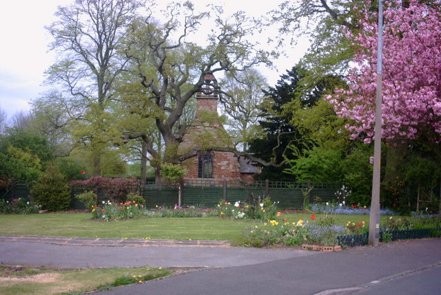
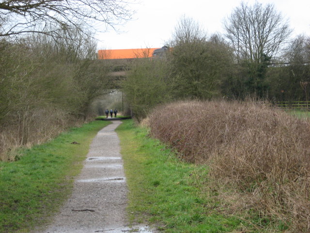
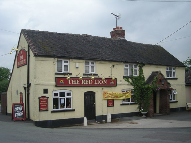
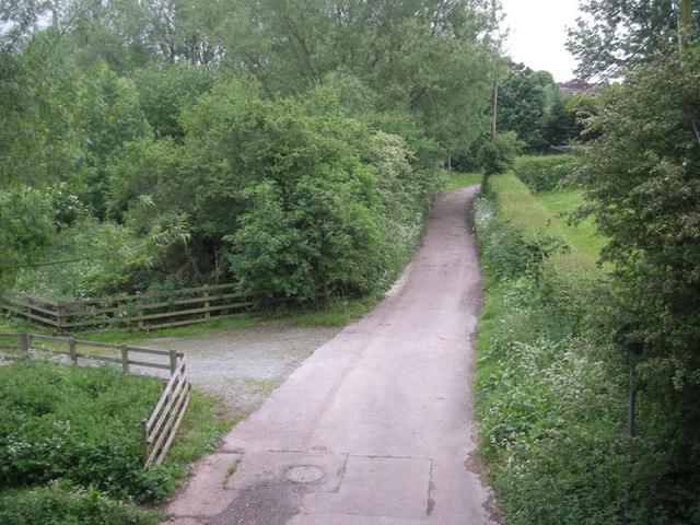
Doxey Images

Images are sourced within 2km of 52.811634/-2.145362 or Grid Reference SJ9023. Thanks to Geograph Open Source API. All images are credited.

Wind turbines near Doxey, Staffordshire
A wind turbine near Doxey, Staffordshire
Railway passing underneath the M6 Motorway south of Junction 14
Localised flooding by River Sow
Wildfowl and localised flooding
Localised flooding
Localised flooding
M6 looking north to J14 from Aston Bank bridge The M6 between junctions 13 and 15 was converted to a managed motorway which was opened in August 2022
M6 looking north to J14 from Aston Bank bridge
The M6 between junctions 13 and 15 was converted to a managed motorway which was opened in August 2022
Gantry, M6 The M6 motorway runs from junction 19 of the M1 at the Catthorpe Interchange, near Rugby to the Gretna junction (J45). Here it becomes the A74(M) and M74 which continues to Glasgow.

The M6 is the longest motorway in the United Kingdom (232 miles) and one of the busiest. It incorporates the first length of motorway opened in the UK (the Preston bypass in 1958) and forms part of a motorway "Backbone of Britain", running north-south between London and Glasgow via the industrial north of England. It is also part of the east-west route between the Midlands and the east coast ports.
Gantry, M6
The M6 motorway runs from junction 19 of the M1 at the Catthorpe Interchange, near Rugby to the Gretna junction (J45). Here it becomes the A74(M) and M74 which continues to Glasgow. The M6 is the longest motorway in the United Kingdom (232 miles) and one of the busiest. It incorporates the first length of motorway opened in the UK (the Preston bypass in 1958) and forms part of a motorway "Backbone of Britain", running north-south between London and Glasgow via the industrial north of England. It is also part of the east-west route between the Midlands and the east coast ports.
Wind turbine
Wind turbine
Aston Hill Farm Looking West
Aston Hill Farm
Looking West
Farmland Farmland  - looking NE into square
Farmland
Farmland - looking NE into square
Grassy Field Looking across fields near Derrington, across the M6 ,which is this side of the pylon line to Stafford Castle, just poking above the trees.
Grassy Field
Looking across fields near Derrington, across the M6 ,which is this side of the pylon line to Stafford Castle, just poking above the trees.
St Matthews Church, Derrington A view of St Matthews Church, Derrington, from St Matthews Drive by the junction of Church Lane. (I was at work when I spied this view, which was so 'captivating' as I drove past that I had to stop, reverse my car, and take a picture - as well as soak up the view for a few minutes!).
St Matthews Church, Derrington
A view of St Matthews Church, Derrington, from St Matthews Drive by the junction of Church Lane. (I was at work when I spied this view, which was so 'captivating' as I drove past that I had to stop, reverse my car, and take a picture - as well as soak up the view for a few minutes!).
Way for the Millennium The WFTM route goes west under the M6. This part of the route, Stafford to Gnosall, is easy walking/riding along the route of an old railway. Nearer to Newport the route is not so well maintained.
Way for the Millennium
The WFTM route goes west under the M6. This part of the route, Stafford to Gnosall, is easy walking/riding along the route of an old railway. Nearer to Newport the route is not so well maintained.
The Red Lion
The Red Lion
Viewed from a bridge
M6 south This was taken from behind a crash barrier & concrete parapet.
M6 south
This was taken from behind a crash barrier & concrete parapet.
M6 over the old railway line
Show me another place!

Doxey is located at Grid Ref: SJ9023 (Lat: 52.811634, Lng: -2.145362)

Administrative County: Staffordshire

District: Stafford

Police Authority: Staffordshire

What 3 Words

///senior.tapes.give. Near Stafford, Staffordshire

Nearby Locations

Doxey Doxey

Related Wikis

Doxey

Doxey is a village and civil parish in the borough of Stafford in Staffordshire, England. It is a north-western suburb of Stafford. The village became...
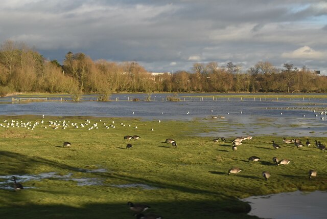
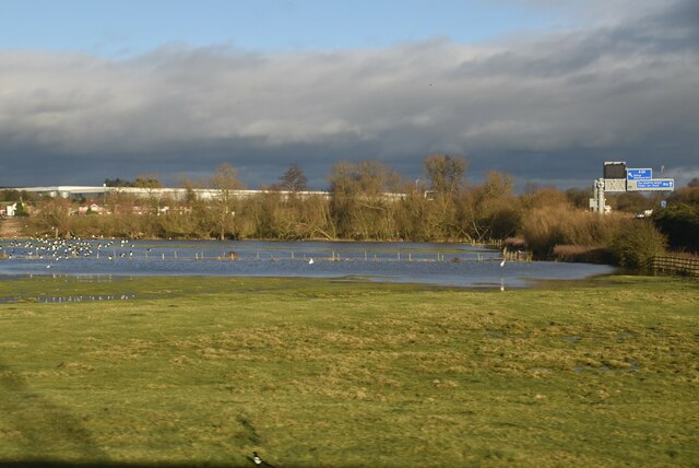
Doxey Marshes

Doxey Marshes is a 150 hectares (370 acres) nature reserve located within two miles of Stafford town centre, and is managed by Staffordshire Wildlife Trust...

Stafford Castle

Stafford Castle is an ancient Grade II listed castle situated two miles west of the town of Stafford in Staffordshire, England. From the time of the Norman...

Stafford Rural District

Stafford Rural District was a rural district in the county of Staffordshire. It was created in 1894 and abolished in 1974 by virtue of the Local Government...

Aston, Stafford

Aston is a hamlet in the county of Staffordshire, England. Aston was recorded in the Domesday Book as Estone. == References ==

Stafford power station

Stafford power station supplied electricity to the town of Stafford, England and the surrounding area from 1895 to 1958. It was initially owned and operated...

Holmcroft

Holmcroft is the name of a Stafford, Staffordshire, England, residential estate approximately 1½ miles north of Stafford town centre, situated in a geographic...
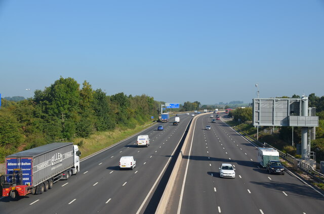
A518 road

The A518 is a road in the Midlands, United Kingdom. == Route == It runs from Uttoxeter, Staffordshire to Telford, Shropshire via Stafford and Newport....

Nearby Amenities

Located within 500m of 52.811634,-2.145362
Doxey
Note: Doxey has a Parish Council
Place: village
Wikidata: Q2717274
Lat/Long: 52.8102085/-2.1492186
Bus Stop
The Drive
Bus: yes
Naptan AtcoCode: 3800C722101
Naptan Bearing: W
Naptan CommonName: The Drive
Naptan Indicator: Adj
Naptan Landmark: The Drive
Naptan PlusbusZoneRef: STAFFRD
Naptan Street: Doxey Road
Naptan Verified: no
Public Transport: platform
Source: naptan_import
Lat/Long: 52.810777/-2.1408847
Bus Stop
The Drive
Bus: yes
Naptan AtcoCode: 3800C722102
Naptan Bearing: E
Naptan CommonName: The Drive
Naptan Indicator: Opp
Naptan Landmark: The Drive
Naptan PlusbusZoneRef: STAFFRD
Naptan Street: Doxey Road
Naptan Verified: no
Public Transport: platform
Source: naptan_import
Lat/Long: 52.8108974/-2.1410807
Bus Stop
Broad Meadow Croft
Bus: yes
Naptan AtcoCode: 3800C734901
Naptan Bearing: W
Naptan CommonName: Broad Meadow Croft
Naptan Indicator: Adj
Naptan Landmark: Broad Meadow Croft
Naptan PlusbusZoneRef: STAFFRD
Naptan Street: Conway Road
Naptan Verified: no
Public Transport: platform
Source: naptan_import
Lat/Long: 52.8122498/-2.1469262
Bus Stop
Fern Drive
Bus: yes
Naptan AtcoCode: 3800C750001
Naptan Bearing: SE
Naptan CommonName: Fern Drive
Naptan Indicator: Opp
Naptan Landmark: Fern Drive
Naptan PlusbusZoneRef: STAFFRD
Naptan Street: Greensome Lane
Naptan Verified: no
Public Transport: platform
Source: naptan_import
Lat/Long: 52.813951/-2.1451811
Bus Stop
Fern Drive
Bus: yes
Naptan AtcoCode: 3800C750002
Naptan Bearing: NW
Naptan BusStopType: CUS
Naptan CommonName: Fern Drive
Naptan Indicator: Adj
Naptan Landmark: Fern Drive
Naptan PlusbusZoneRef: STAFFRD
Naptan Street: Greensome Lane
Naptan Verified: no
Public Transport: platform
Source: naptan_import
Lat/Long: 52.8139507/-2.1454334
Bus Stop
Greensome Crescent
Bus: yes
Naptan AtcoCode: 3800C750300
Naptan Bearing: NE
Naptan CommonName: Greensome Crescent
Naptan Indicator: Adj
Naptan Landmark: Greensome Crescent
Naptan PlusbusZoneRef: STAFFRD
Naptan Street: Greensome Ln
Naptan Verified: no
Public Transport: platform
Source: naptan_import
Lat/Long: 52.8141179/-2.148342
Bus Stop
Greensome Crescent
Bus: yes
Naptan AtcoCode: 3800C750301
Naptan Bearing: SW
Naptan BusStopType: CUS
Naptan CommonName: Greensome Crescent
Naptan Indicator: Opp
Naptan Landmark: Greensome Crescent
Naptan PlusbusZoneRef: STAFFRD
Naptan Street: Greensome Ln
Naptan Verified: no
Public Transport: platform
Source: naptan_import
Lat/Long: 52.814001/-2.1483564
Bus Stop
Greensome Lane
Bus: yes
Naptan AtcoCode: 3800C792500
Naptan Bearing: E
Naptan CommonName: Greensome Lane
Naptan Indicator: Adj
Naptan Landmark: Greensome Lane
Naptan PlusbusZoneRef: STAFFRD
Naptan Street: Doxey Road
Naptan Verified: no
Public Transport: platform
Source: naptan_import
Lat/Long: 52.8112508/-2.1478723
Bus Stop
St Thomas Church
Bus: yes
Naptan AtcoCode: 3800C792501
Naptan Bearing: W
Naptan CommonName: St Thomas Church
Naptan Indicator: Adj
Naptan Landmark: St Thomas Church
Naptan PlusbusZoneRef: STAFFRD
Naptan Street: Doxey Road
Naptan Verified: no
Public Transport: platform
Source: naptan_import
Lat/Long: 52.8111343/-2.14759
Bus Stop
Three Tuns PH
Bus: yes
Naptan AtcoCode: 3800C794001
Naptan Bearing: E
Naptan CommonName: Three Tuns PH
Naptan Indicator: Adj
Naptan Landmark: Three Tuns PH
Naptan PlusbusZoneRef: STAFFRD
Naptan Street: Doxey Rd
Naptan Verified: no
Public Transport: platform
Source: naptan_import
Lat/Long: 52.8112008/-2.1446527
Bus Stop
Three Tuns PH
Bus: yes
Naptan AtcoCode: 3800C794002
Naptan Bearing: W
Naptan CommonName: Three Tuns PH
Naptan Indicator: Opp
Naptan Landmark: Three Tuns PH
Naptan PlusbusZoneRef: STAFFRD
Naptan Street: Doxey Rd
Naptan Verified: no
Public Transport: platform
Source: naptan_import
Lat/Long: 52.8111199/-2.1446673
Bus Stop
Greensome Lane
Bus: yes
Naptan AtcoCode: 3800C794101
Naptan Bearing: NW
Naptan CommonName: Greensome Lane
Naptan Indicator: Adj
Naptan Landmark: No 36
Naptan PlusbusZoneRef: STAFFRD
Naptan Street: Greensome Ln
Naptan Verified: no
Public Transport: platform
Source: naptan_import
Lat/Long: 52.8130207/-2.1487092
Bus Stop
Greensome Lane
Bus: yes
Naptan AtcoCode: 3800C794102
Naptan Bearing: SE
Naptan BusStopType: CUS
Naptan CommonName: Greensome Lane
Naptan Indicator: Adj
Naptan Landmark: No 27
Naptan PlusbusZoneRef: STAFFRD
Naptan Street: Greensome Ln
Naptan Verified: no
Public Transport: platform
Source: naptan_import
Lat/Long: 52.8131827/-2.1485762
Bus Stop
Conway Road
Bus: yes
Naptan AtcoCode: 3800C794201
Naptan Bearing: N
Naptan CommonName: Conway Road
Naptan Indicator: Opp
Naptan Landmark: Greensome Ct
Naptan PlusbusZoneRef: STAFFRD
Naptan Street: Greensome Ln
Naptan Verified: no
Public Transport: platform
Source: naptan_import
Lat/Long: 52.8121988/-2.1445225
Bus Stop
Greensome Cresent
Bus: yes
Naptan AtcoCode: 3800C794202
Naptan Bearing: N
Naptan BusStopType: CUS
Naptan CommonName: Greensome Cresent
Naptan Indicator: Adj
Naptan Landmark: Greensome Ct
Naptan PlusbusZoneRef: STAFFRD
Naptan Street: Greensome Ln
Naptan Verified: no
Public Transport: platform
Source: naptan_import
Lat/Long: 52.8128189/-2.1446729
Turning Circle
Lat/Long: 52.8128571/-2.1472423
Turning Circle
Lat/Long: 52.8138364/-2.1477947
Turning Circle
Lat/Long: 52.8127019/-2.1451421
Post Box
Post Box Type: pillar
Ref: ST16 1610
Lat/Long: 52.8115354/-2.1443695
Crossing
Crossing: uncontrolled
Crossing Ref: zebra
Lat/Long: 52.8129186/-2.1445947
Post Box
Post Box Type: pillar
Ref: ST16 1605
Royal Cypher: EIIR
Royal Cypher Wikidata: Q33102113
Lat/Long: 52.8140019/-2.1487871
Post Box
Post Box Type: lamp
Ref: ST16 57
Royal Cypher: EIIR
Royal Cypher Wikidata: Q33102113
Lat/Long: 52.8104718/-2.140024
Crossing: uncontrolled
Lat/Long: 52.8131785/-2.1446541
Doxey Stores
Addr Housenumber: 212
Addr Postcode: ST16 1EG
Addr Street: Doxey
Fhrs Id: 1195676
Shop: convenience
Source Addr: FHRS Open Data
Lat/Long: 52.8109396/-2.1411554
hair@108
Shop: hairdresser
Lat/Long: 52.8108307/-2.1412317
Fast Food
Castle Pizza
Cuisine: italian
Lat/Long: 52.8109728/-2.1412996
Power: substation
Lat/Long: 52.8117809/-2.1448579
Playground: climbingframe
Lat/Long: 52.8096131/-2.1390342
Leisure: picnic_table
Lat/Long: 52.8087364/-2.1399874
Defibrillator
Defibrillator Location: outside William Sutton Centre, Sutton Drive, Doxey
Emergency: defibrillator
Indoor: no
Lat/Long: 52.8131536/-2.1466971
The data included in this document is from www.openstreetmap.org. The data is made available under ODbL.

Have you been to Doxey?

Leave your review of Doxey below (or comments, questions and feedback).