Dorchester
Civil Parish in Oxfordshire South Oxfordshire
England
Dorchester
Dorchester is a civil parish located in Oxfordshire, England. Situated on the banks of the River Thame, it is a picturesque village with a rich historical background. The village is known for its well-preserved medieval architecture, which attracts visitors from all over.
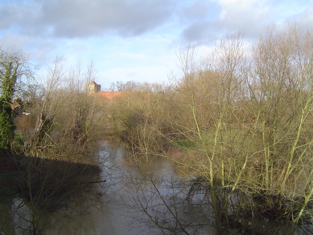
One of the main attractions in Dorchester is the Dorchester Abbey, a magnificent 12th-century church that was originally a Norman abbey. The abbey features stunning stained glass windows, intricate stone carvings, and a beautiful cloister. It is not only a place of worship but also hosts various cultural events and concerts throughout the year.
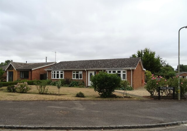
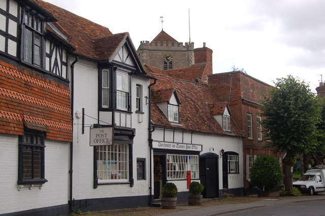
The village also boasts a number of charming thatched-roof cottages, which add to its unique character. The streets are lined with traditional buildings, some dating back to the 14th century, creating an atmosphere that transports visitors back in time.
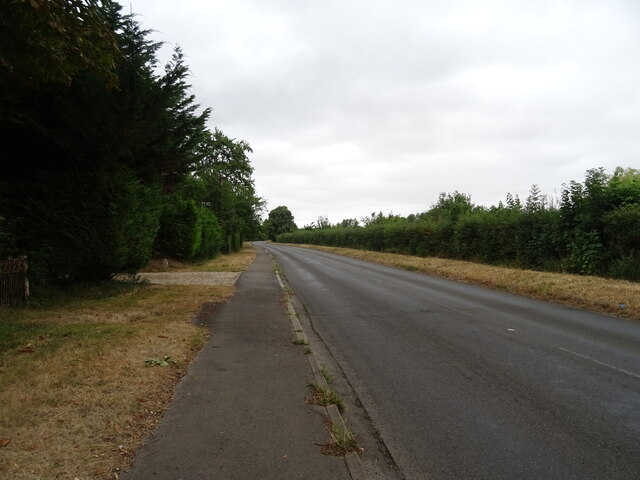
Dorchester is also known for its open spaces and natural beauty. The surrounding countryside offers picturesque walking trails, perfect for those who enjoy outdoor activities. The River Thame provides opportunities for boating and fishing, attracting locals and tourists alike.
In terms of amenities, Dorchester has a few local shops, cafes, and pubs, offering a taste of traditional English village life. The village also has a primary school, making it an attractive place for families.
Overall, Dorchester, Oxfordshire, is a charming and historic village with a strong sense of community. Its medieval architecture, stunning abbey, and beautiful natural surroundings make it a must-visit destination for history enthusiasts and nature lovers.
If you have any feedback on the listing, please let us know in the comments section below.
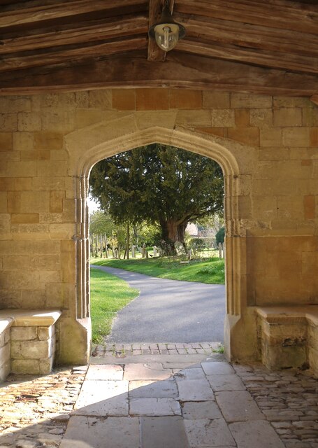
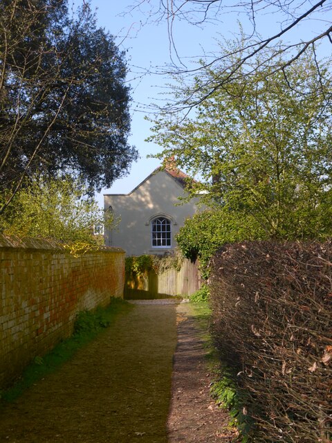
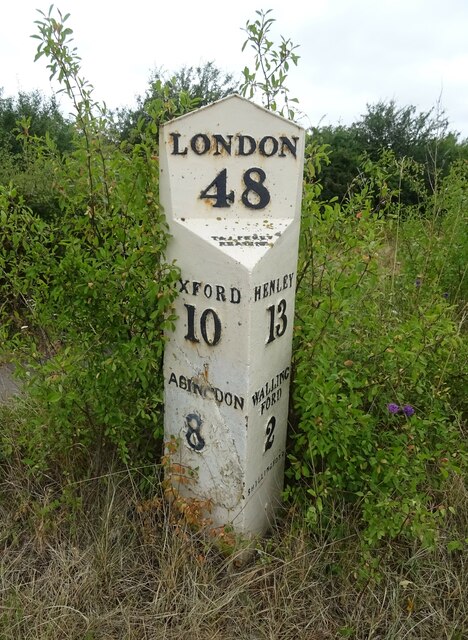
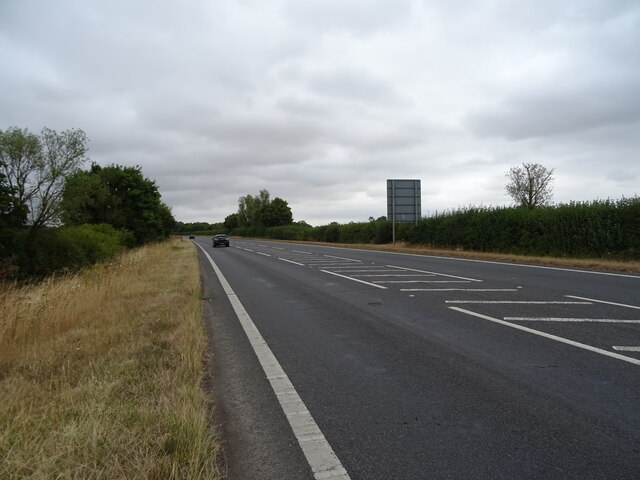
Dorchester Images
Images are sourced within 2km of 51.642634/-1.163228 or Grid Reference SU5794. Thanks to Geograph Open Source API. All images are credited.


Dorchester is located at Grid Ref: SU5794 (Lat: 51.642634, Lng: -1.163228)
Administrative County: Oxfordshire
District: South Oxfordshire
Police Authority: Thames Valley
What 3 Words
///denote.lawful.bolsters. Near Benson, Oxfordshire
Nearby Locations
Related Wikis
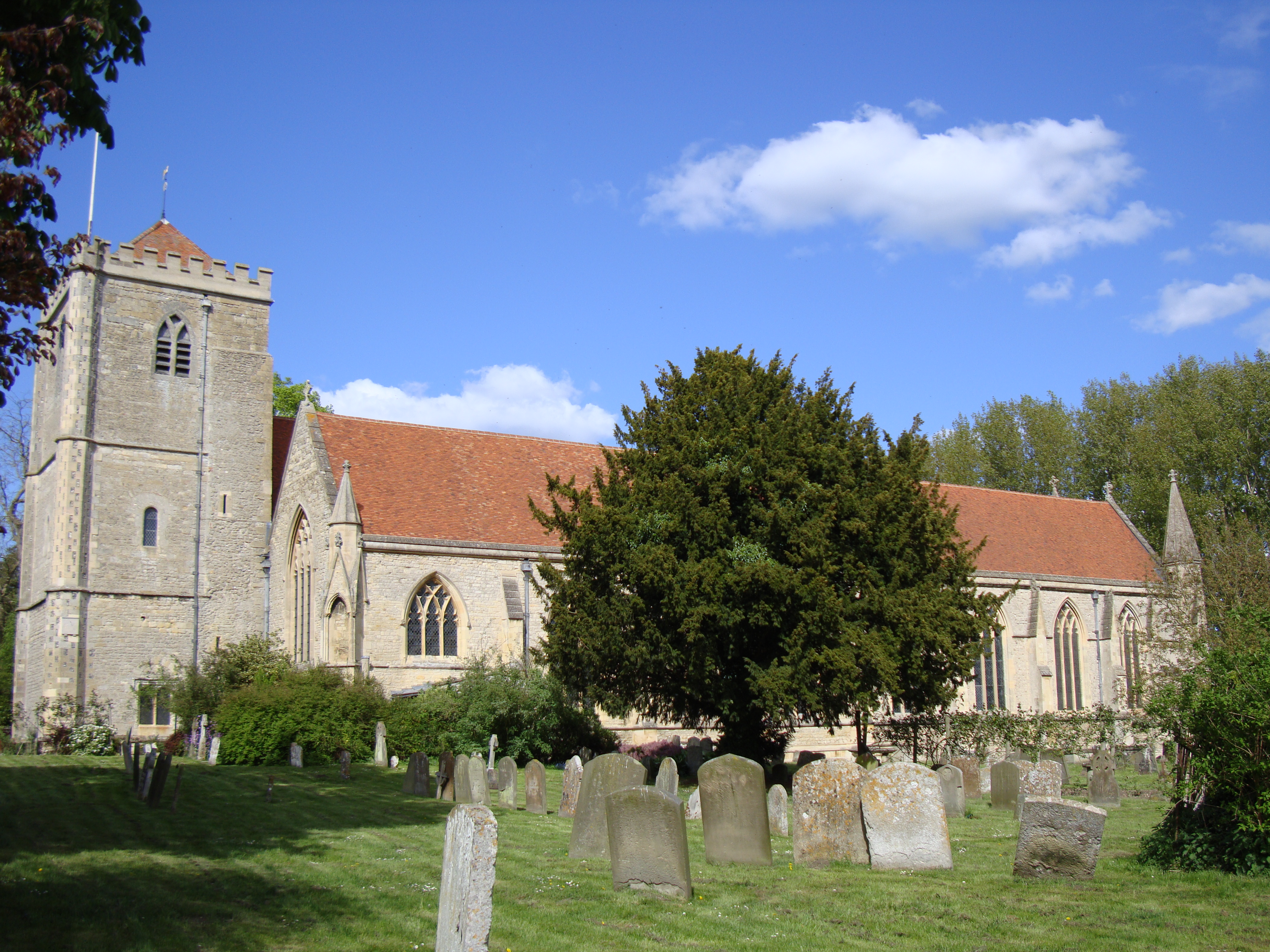
Dorchester Abbey
The Abbey Church of St Peter and St Paul, more usually called Dorchester Abbey, is a Church of England parish church in Dorchester on Thames, Oxfordshire...
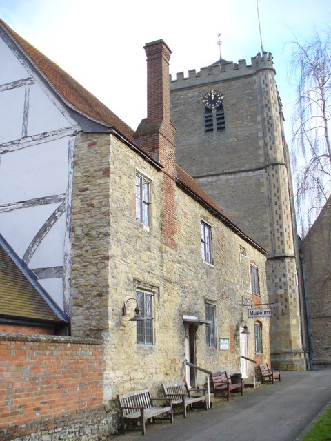
Dorchester Abbey Museum
Dorchester Abbey Museum is a local museum in the town of Dorchester, Oxfordshire, England. It is attached to Dorchester Abbey. The museum occupies two...
Dorchester on Thames
Dorchester on Thames (or Dorchester-on-Thames) is a village and civil parish in Oxfordshire, about 3 miles (5 km) northwest of Wallingford and 8 miles...

Day's Lock
Day's Lock is a lock on the River Thames near Dorchester-on-Thames, Oxfordshire, England on the Dorchester side of the river. The pound lock was built...

Little Wittenham Bridge
Little Wittenham Bridge is a footbridge across the River Thames in England near Dorchester-on-Thames, Oxfordshire. It is just downstream of Day's Lock...
River Thame
The River Thame is a river in Southern England. A tributary of the River Thames, the river runs generally south-westward for about 40 mi (64 km) from...

Little Wittenham SSSI
Little Wittenham SSSI is a 68.9-hectare (170-acre) biological Site of Special Scientific Interest north-east of Didcot in Oxfordshire. It is also a Special...

Little Wittenham
Little Wittenham is a village and civil parish on the south bank of the River Thames, northeast of Didcot in South Oxfordshire. In 1974 it was transferred...
Nearby Amenities
Located within 500m of 51.642634,-1.163228Have you been to Dorchester?
Leave your review of Dorchester below (or comments, questions and feedback).