Dorchester
Settlement in Oxfordshire South Oxfordshire
England
Dorchester
Dorchester is a small village located in the county of Oxfordshire, England. Situated on the banks of the River Thame, it is nestled within the picturesque countryside, offering a serene and peaceful environment. With a population of around 1,000 residents, it maintains a close-knit community atmosphere.
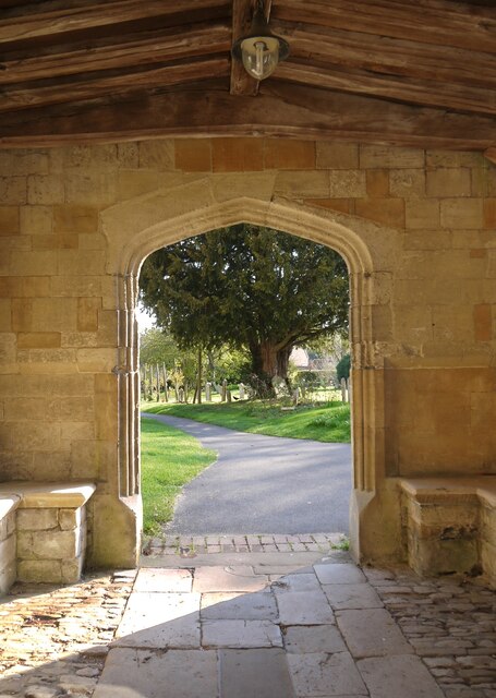
The village has a rich history, dating back to Roman times when it was an important Roman settlement known as Dorcic. Evidence of its historical significance can still be seen today in the form of the Dorchester Abbey, a magnificent medieval church that stands as a testament to its past.
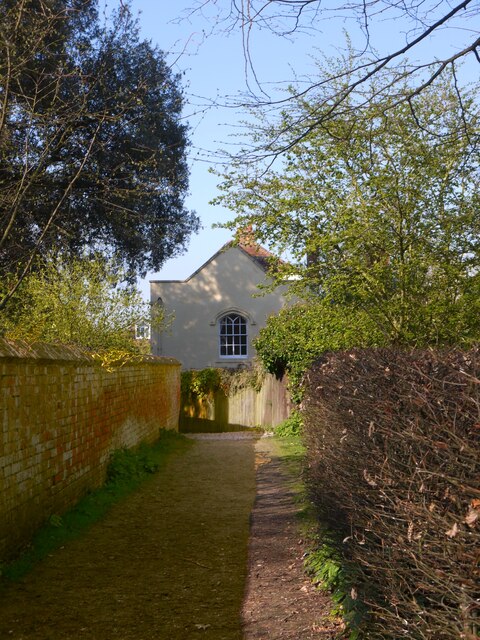
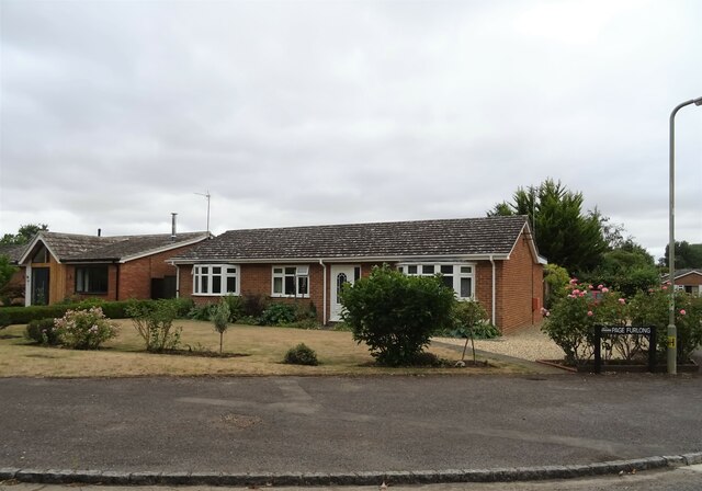
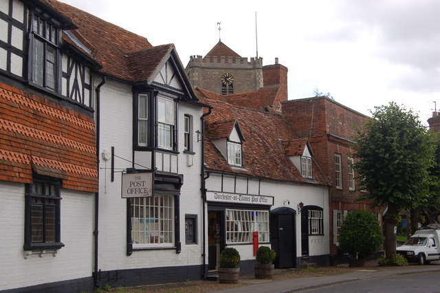
Dorchester is also renowned for its charming architecture, characterized by traditional thatched cottages and Georgian-style houses. The village center features a range of amenities, including a post office, village store, and several pubs and restaurants offering a taste of local cuisine.
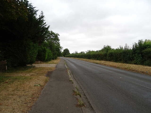
Nature enthusiasts will find plenty to explore in Dorchester, as it is surrounded by stunning landscapes and scenic walking trails. The nearby River Thame provides opportunities for fishing and boating, while the surrounding meadows offer idyllic spots for picnics and leisurely strolls.
Despite its small size, Dorchester hosts a variety of events throughout the year, including the Dorchester Festival, which showcases local talent in the fields of music, art, and theater. The village also has a strong sense of community spirit, with residents actively participating in various social and cultural activities.
Overall, Dorchester, Oxfordshire, offers a charming blend of history, natural beauty, and community spirit, making it an appealing destination for both residents and visitors alike.
If you have any feedback on the listing, please let us know in the comments section below.
Dorchester Images
Images are sourced within 2km of 51.644073/-1.165774 or Grid Reference SU5794. Thanks to Geograph Open Source API. All images are credited.


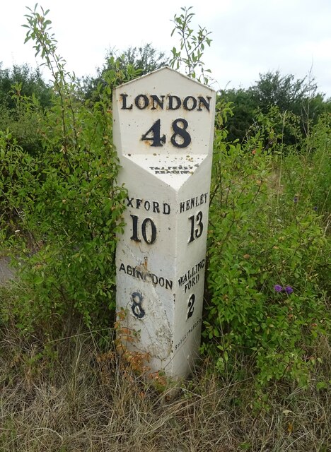


Dorchester is located at Grid Ref: SU5794 (Lat: 51.644073, Lng: -1.165774)
Administrative County: Oxfordshire
District: South Oxfordshire
Police Authority: Thames Valley
What 3 Words
///weaved.booklet.genius. Near Benson, Oxfordshire
Nearby Locations
Related Wikis
Dorchester on Thames
Dorchester on Thames (or Dorchester-on-Thames) is a village and civil parish in Oxfordshire, about 3 miles (5 km) northwest of Wallingford and 8 miles...
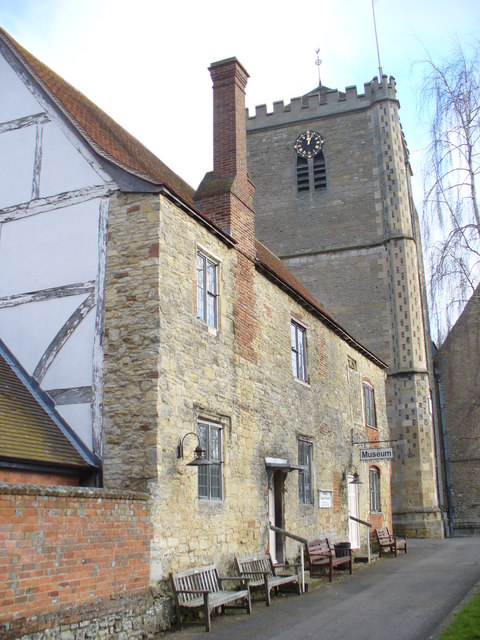
Dorchester Abbey Museum
Dorchester Abbey Museum is a local museum in the town of Dorchester, Oxfordshire, England. It is attached to Dorchester Abbey. The museum occupies two...
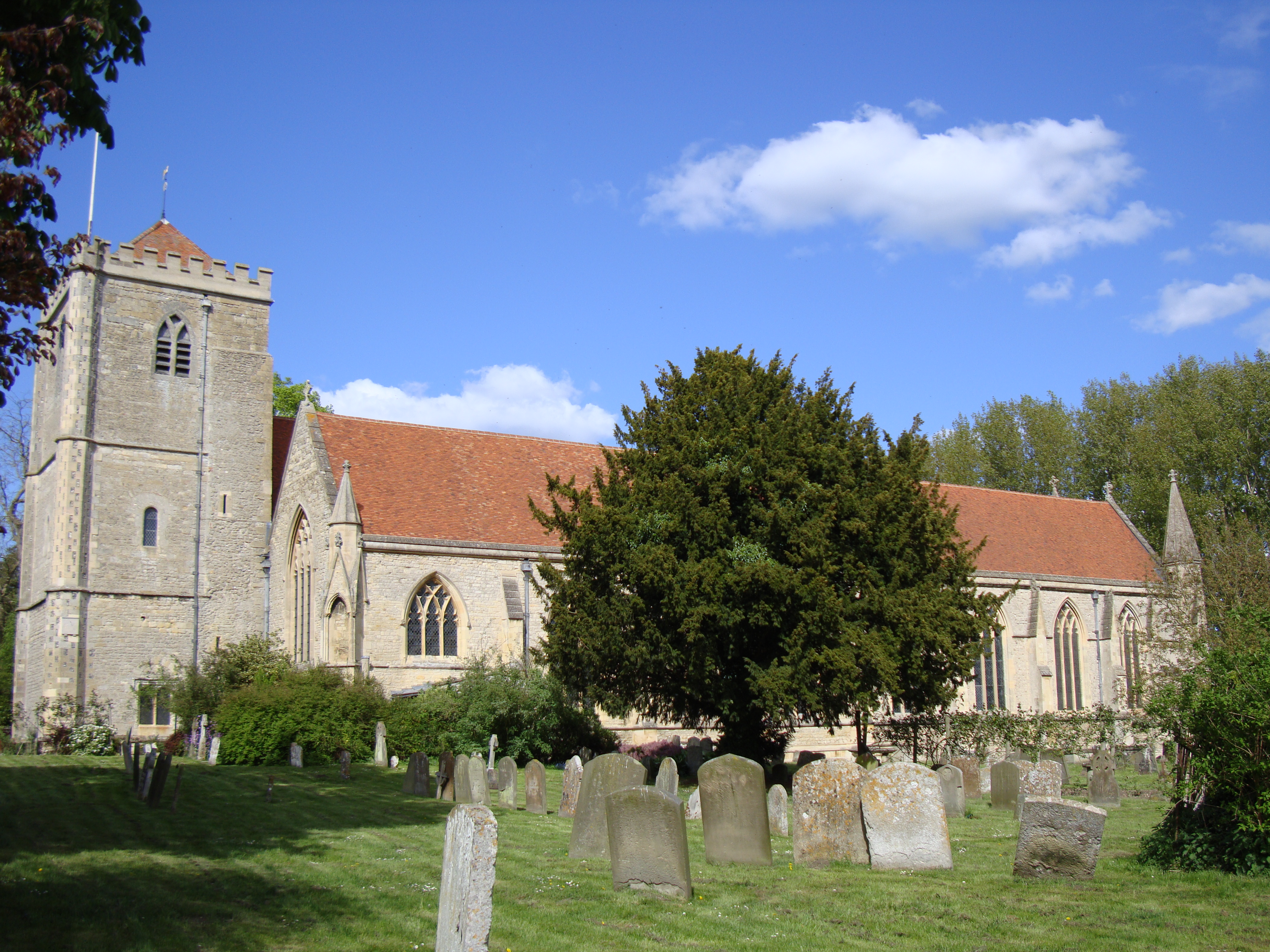
Dorchester Abbey
The Abbey Church of St Peter and St Paul, more usually called Dorchester Abbey, is a Church of England parish church in Dorchester on Thames, Oxfordshire...

Day's Lock
Day's Lock is a lock on the River Thames near Dorchester-on-Thames, Oxfordshire, England on the Dorchester side of the river. The pound lock was built...

Little Wittenham Bridge
Little Wittenham Bridge is a footbridge across the River Thames in England near Dorchester-on-Thames, Oxfordshire. It is just downstream of Day's Lock...

Little Wittenham SSSI
Little Wittenham SSSI is a 68.9-hectare (170-acre) biological Site of Special Scientific Interest north-east of Didcot in Oxfordshire. It is also a Special...
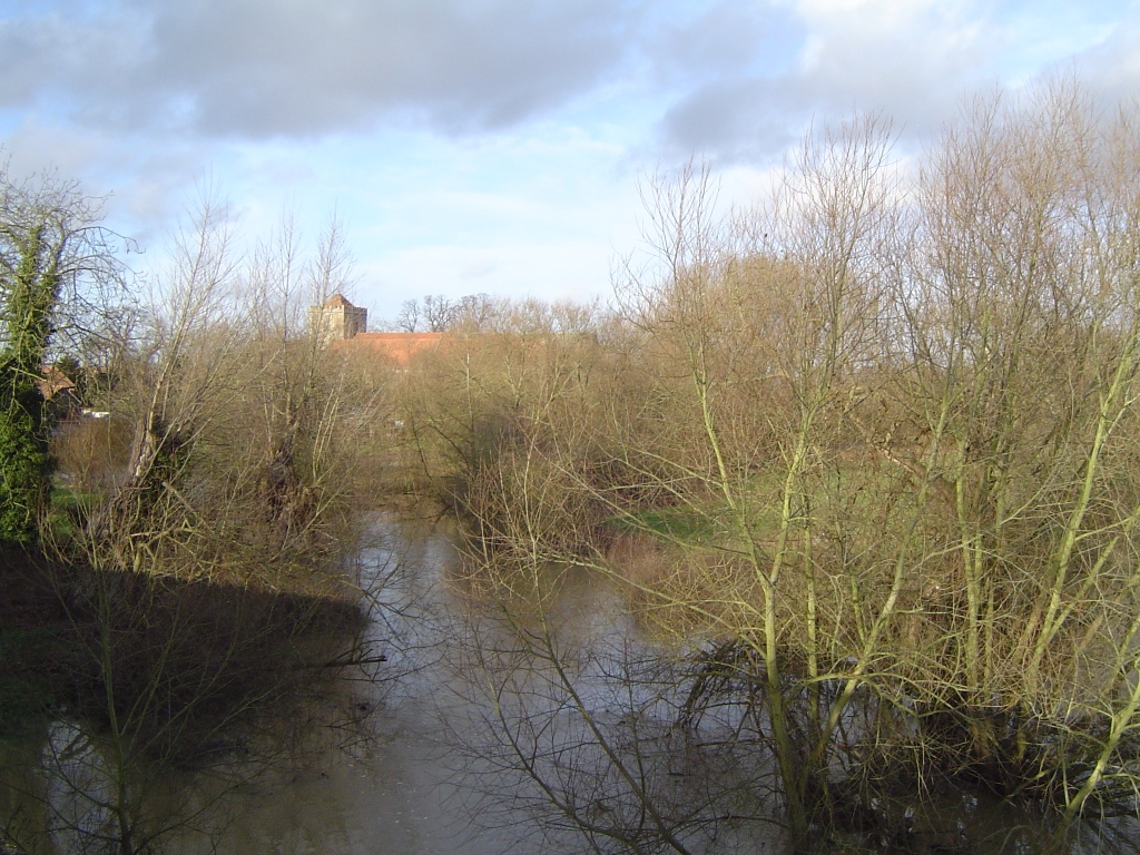
River Thame
The River Thame is a river in Southern England. A tributary of the River Thames, the river runs generally south-westward for about 40 mi (64 km) from...

Little Wittenham
Little Wittenham is a village and civil parish on the south bank of the River Thames, northeast of Didcot in South Oxfordshire. In 1974 it was transferred...
Related Videos

Camping and hiking kit for Wild camping and hiking in -9c very cold for Sourthen England in Autumn.
Filmed 15th tp 16th December 2022 with the DJI MINI 3 PRO @ https://amzn.to/3luGADE Wittenham Clumps is the name for a pair ...
Backwards Walking Uphill…. Let me explain!
Backwards walking video: https://youtu.be/zWTQ9UPsmf4.
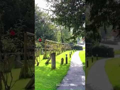
Autumn in Dorchester Abbey, Midsomer Murders film location! But no murder😜 #uk #travel #abbey
Autumn in Dorchester Abbey in Dorchester-on-Thames, UK popular TV Series "Midsomer Murders" was filmed there. #shorts ...

Nearby Amenities
Located within 500m of 51.644073,-1.165774Have you been to Dorchester?
Leave your review of Dorchester below (or comments, questions and feedback).