Dickleburgh and Rushall

Civil Parish in Norfolk South Norfolk

England

Dickleburgh and Rushall

Rushall: Cereal crop
Rushall: Cereal crop Credit: Michael Garlick

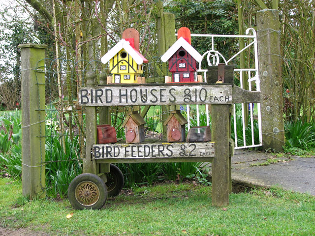
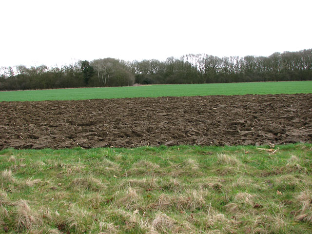
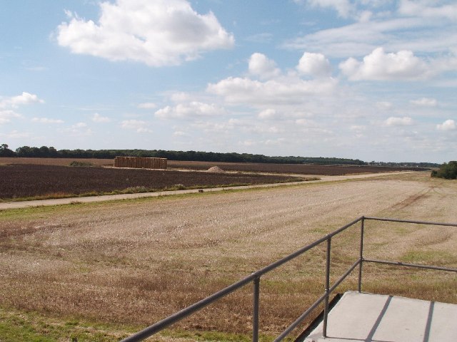
Dickleburgh and Rushall is a civil parish located in the county of Norfolk, England. It encompasses two picturesque villages, Dickleburgh and Rushall, which are situated approximately 3 miles apart. The parish is located in the South Norfolk district and is surrounded by beautiful countryside and rolling hills.

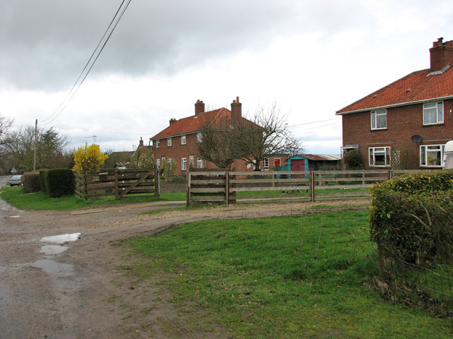
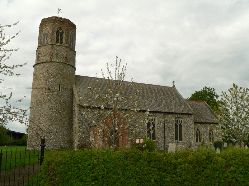
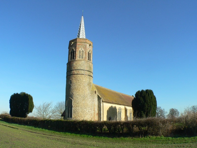
Dickleburgh is the larger of the two villages and serves as the main hub for services and amenities in the area. It has a charming village green, a primary school, a post office, a convenience store, and a number of traditional pubs. The village is known for its historic buildings, including the Grade I listed St Mary's Church, which dates back to the 12th century.

Rushall, on the other hand, is a smaller and quieter village with a more rural feel. It is renowned for its unspoiled natural beauty and offers stunning views of the surrounding countryside. The village is home to a small but close-knit community, with a village hall that hosts various social events throughout the year.

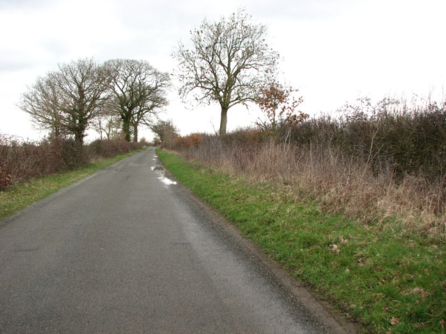
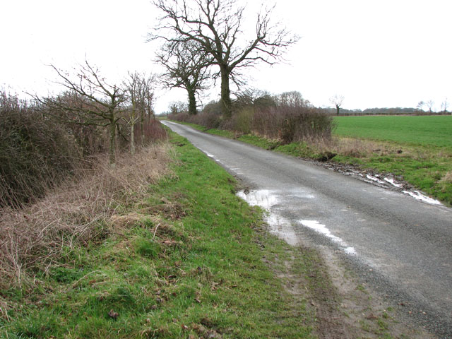
Both villages are well-connected to nearby towns and cities, with good transport links and easy access to major roads. The area is popular with walkers and nature enthusiasts due to its proximity to numerous walking trails and nature reserves.

Overall, Dickleburgh and Rushall offer a peaceful and idyllic lifestyle, with a strong sense of community and a rich heritage. The area's natural beauty and historic charm make it an attractive place to live or visit.

If you have any feedback on the listing, please let us know in the comments section below.

Dickleburgh and Rushall Images

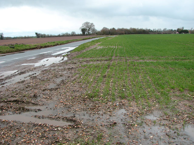
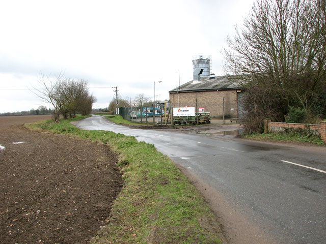
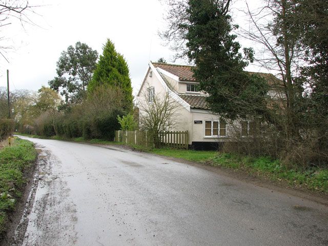
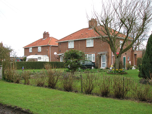
Images are sourced within 2km of 52.39756/1.211877 or Grid Reference TM1882. Thanks to Geograph Open Source API. All images are credited.

Rushall: Cereal crop
Footpath, opposite Willow Farm
Unnamed lane from South Green to Rushall
Factory north-east of Rushall A direction sign says 'Box Factory', signs at the entrance say 'mondi'. Mondi is a leading international paper and packaging group with operations across 31 countries and an average of 31,000 employees.
Factory north-east of Rushall
A direction sign says 'Box Factory', signs at the entrance say 'mondi'. Mondi is a leading international paper and packaging group with operations across 31 countries and an average of 31,000 employees.
Mondi packaging factory north-east of Rushall Mondi is a leading international paper and packaging group with operations across 31 countries and an average of 31,000 employees.
Mondi packaging factory north-east of Rushall
Mondi is a leading international paper and packaging group with operations across 31 countries and an average of 31,000 employees.
Unnamed lane past Mondi factory north-east of Rushall Mondi is a leading international paper and packaging group with operations across 31 countries and an average of 31,000 employees.
Unnamed lane past Mondi factory north-east of Rushall
Mondi is a leading international paper and packaging group with operations across 31 countries and an average of 31,000 employees.
Cottage west of Willow Farm, Rushall
Walnut Cottages in Rushall
Bird houses and feeders for sale At one of the Walnut Cottages > <a title="https://www.geograph.org.uk/photo/1779719" href="https://www.geograph.org.uk/photo/1779719">Link</a> in Rushall.
Bird houses and feeders for sale
At one of the Walnut Cottages > Link in Rushall.
Walnut Cottages in Rushall
View north along Cutting's Road
Cutting's Road east of Bethel Farm
Cultivated fields east of Cutting's Road
Remains of Thorpe Abbotts Airfield near Diss Remains of Thorpe Abbotts Airfield near Diss, from the roof of the 100th bomb group Museum in the old control tower, looking west along airfield perimeter track.
Remains of Thorpe Abbotts Airfield near Diss
Remains of Thorpe Abbotts Airfield near Diss, from the roof of the 100th bomb group Museum in the old control tower, looking west along airfield perimeter track.
Dickleburgh Village Stores Dickleburgh village stores Norfolk.
Dickleburgh Village Stores
Dickleburgh village stores Norfolk.
Old Farmhouse Old farmhouse marked on the 1:25:000 map as The Beeches near to Dickleburgh Norfolk.
Old Farmhouse
Old farmhouse marked on the 1:25:000 map as The Beeches near to Dickleburgh Norfolk.
All Saints church at Dickleburgh, Norfolk It stands at the heart of the village next to the main road, which used to be heavy with traffic travelling between Ipswich and Norwich until the bypass was built. The church is probably 14th century but it has been affected by the Victorian restorer.
All Saints church at Dickleburgh, Norfolk
It stands at the heart of the village next to the main road, which used to be heavy with traffic travelling between Ipswich and Norwich until the bypass was built. The church is probably 14th century but it has been affected by the Victorian restorer.
Footpath to Dickleburgh Moor The building on the left of the picture belongs to New Farm.
Footpath to Dickleburgh Moor
The building on the left of the picture belongs to New Farm.
Show me another place!

Dickleburgh and Rushall is located at Grid Ref: TM1882 (Lat: 52.39756, Lng: 1.211877)

Administrative County: Norfolk

District: South Norfolk

Police Authority: Norfolk

What 3 Words

///finely.object.cherished. Near Dickleburgh, Norfolk

Nearby Locations

Dickleburgh and Rushall

Related Wikis

100th Bomb Group Memorial Museum

The 100th Bomb Group Memorial Museum, located in the original control tower and other remaining buildings of the RAF Thorpe Abbotts airfield east of Diss...
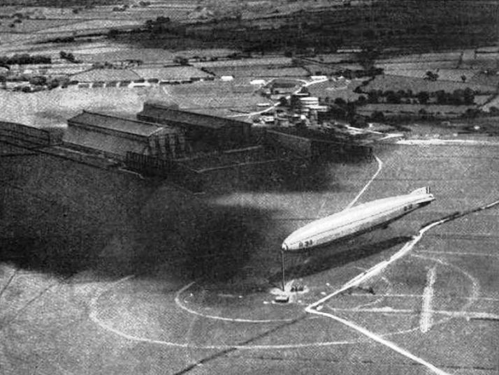
RNAS Pulham

RNAS Pulham (later RAF Pulham) was a Royal Navy Air Service (RNAS) airship station, near Pulham St Mary 18 mi (29 km) south of Norwich, UK. Though land...

Dickleburgh

Dickleburgh is a village and former civil parish, now in the parish of Dickleburgh and Rushall, in the South Norfolk district of the English county of...

Rushall, Norfolk

Rushall is a village and former civil parish, now in the parish of Dickleburgh and Rushall, in the South Norfolk district, in the county of Norfolk, England...

Thelveton

Thelveton (historically Thelton, earlier Telvetun) is a village and former civil parish, now in the parish of Scole, in the South Norfolk district, in...

Thorpe Abbotts

Thorpe Abbotts is a village and (as Thorpe Abbots) a former civil parish, now in the parish of Brockdish, in the South Norfolk district, in the county...

St George's Church, Shimpling

St George's Church is a redundant Anglican church in the village of Shimpling, Norfolk, England. It is recorded in the National Heritage List for England...

Pulham St Mary railway station

Pulham St Mary was a station in Pulham St Mary, Norfolk on the Waveney Valley Line which is now closed. The station has been demolished. == References... ==

Nearby Amenities

Located within 500m of 52.39756,1.211877
Post Box
Collection Times: Mo-Fr 09:00; Sa 07:00
Operator: Royal Mail
Post Box Type: lamp
Ref: IP21 7115D
Royal Cypher: EIIR
Royal Cypher Wikidata: Q33102113
Source: survey
Lat/Long: 52.3980668/1.2112471
The data included in this document is from www.openstreetmap.org. The data is made available under ODbL.

Have you been to Dickleburgh and Rushall?

Leave your review of Dickleburgh and Rushall below (or comments, questions and feedback).