Denton
Civil Parish in Norfolk South Norfolk
England
Denton
Denton is a civil parish located in the county of Norfolk, England. It is situated approximately 10 miles south of the city of Norwich and covers an area of around 5 square miles. The parish is part of the South Norfolk district and has a population of approximately 400 residents.
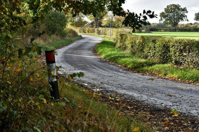
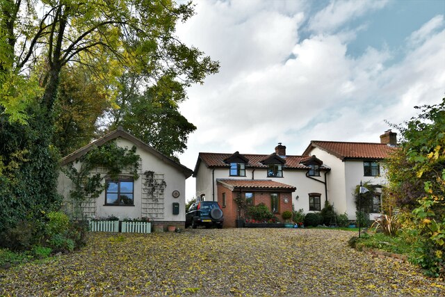
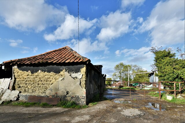
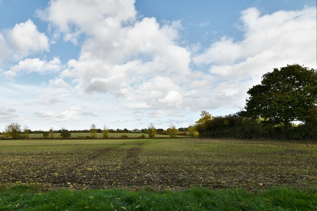
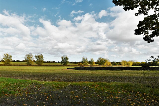
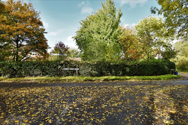
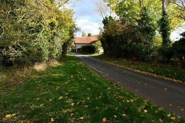
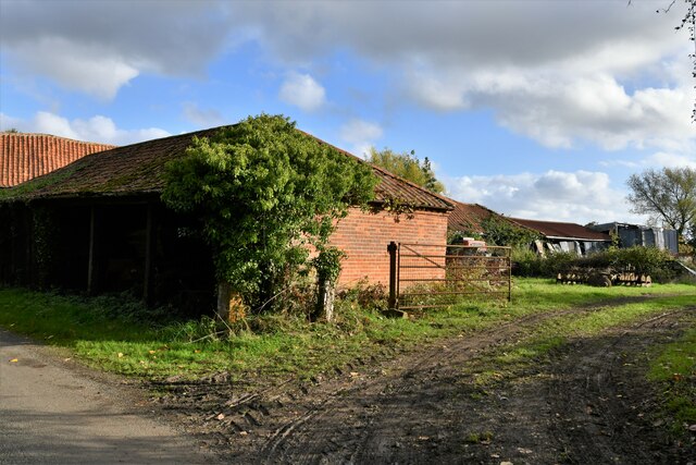
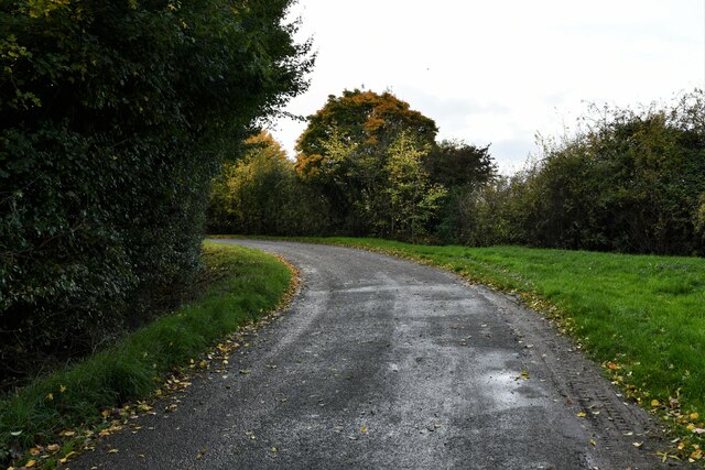
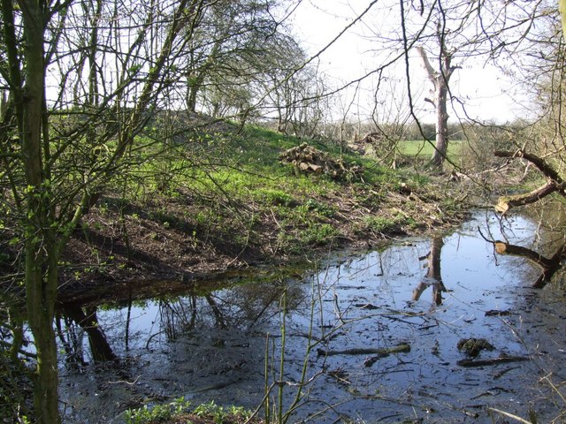
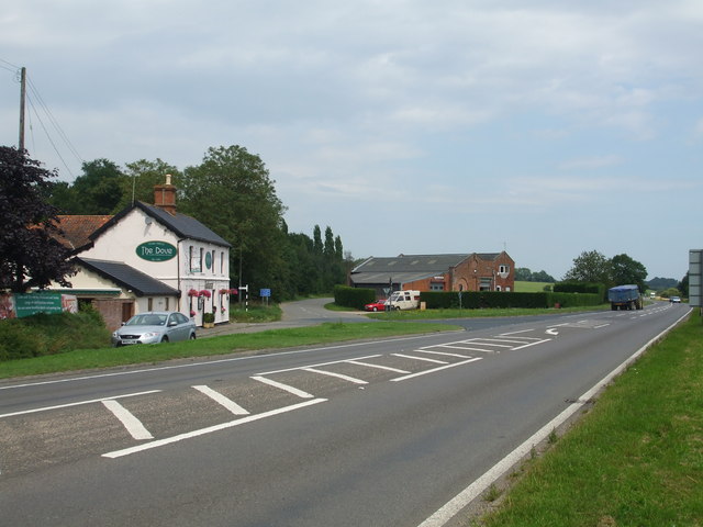
Denton is a picturesque and rural village, surrounded by beautiful countryside and farmland. The landscape is characterized by rolling hills, meandering rivers, and charming country lanes. The village itself is small, with a traditional and tight-knit community.
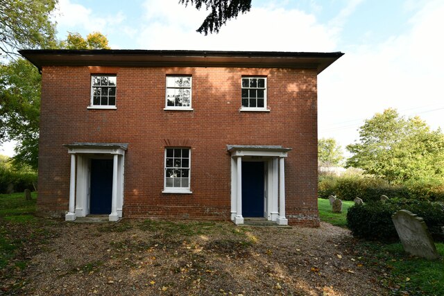
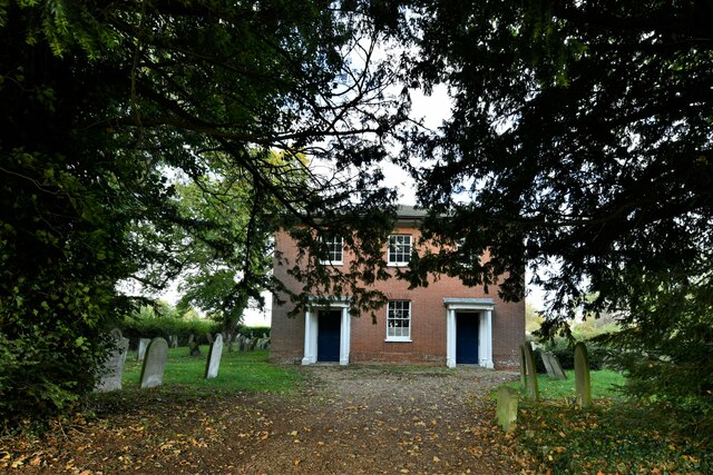
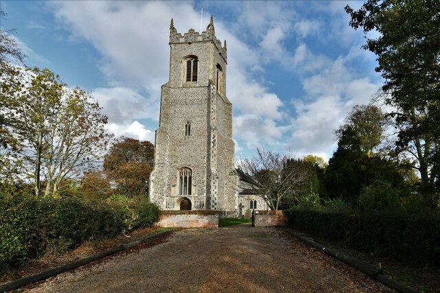
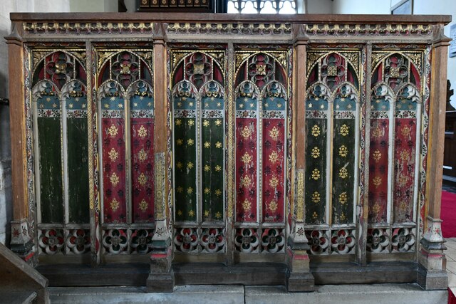
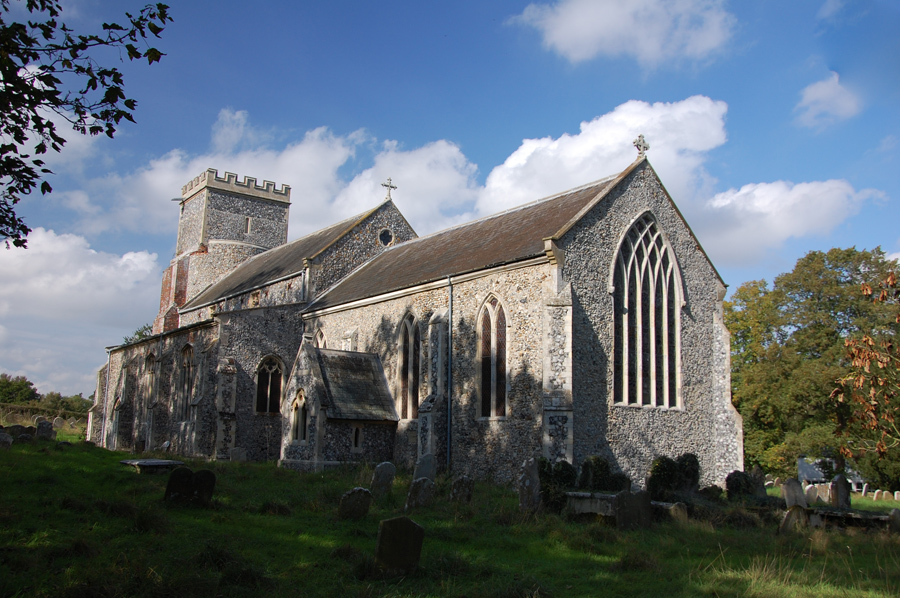
The heart of Denton is its historic church, St. Mary's, which dates back to the 14th century. The church is a prominent feature in the village, with its striking architecture and a tower that offers breathtaking views of the surrounding countryside. There are also a number of well-preserved thatched cottages and period houses scattered throughout the village, adding to its quaint and timeless charm.
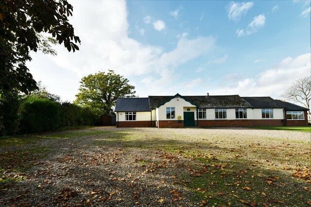
Despite its small size, Denton has a strong sense of community and offers a range of amenities for its residents. These include a village hall, a primary school, a post office, and a pub. The village also hosts various community events throughout the year, such as fairs and festivals, which bring the community together.
Denton is well-connected to nearby towns and cities, with good transport links and access to major roads. The village offers a peaceful and idyllic lifestyle, making it an attractive place to live for those seeking a rural retreat within close proximity to urban amenities.
If you have any feedback on the listing, please let us know in the comments section below.
Denton Images
Images are sourced within 2km of 52.450722/1.348293 or Grid Reference TM2788. Thanks to Geograph Open Source API. All images are credited.


Denton is located at Grid Ref: TM2788 (Lat: 52.450722, Lng: 1.348293)
Administrative County: Norfolk
District: South Norfolk
Police Authority: Norfolk
What 3 Words
///balloons.share.owned. Near Bungay, Suffolk
Related Wikis
Denton, Norfolk
Denton is a village and civil parish in the English county of Norfolk. Denton is located 3.8 miles north-east of Harleston and 13 miles south of Norwich...
Denton Castle
Denton Castle is a motte and bailey castle built in the village of Denton, Norfolk, England. == History == Denton Castle was built after 1088, following...

Alburgh
Alburgh is a village and civil parish in the English county of Norfolk. It lies about four miles (6 km) north-east of Harleston and 16 miles (26 km) south...
Homersfield railway station
Homersfield was a railway station which served the village of Homersfield in Suffolk, England, although the station was located in Alburgh, across the...
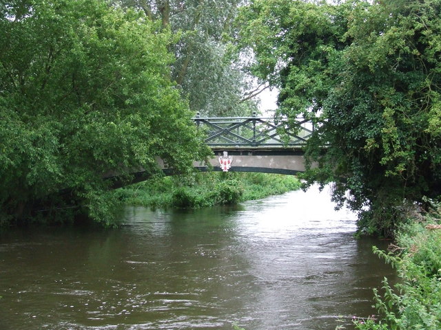
Homersfield Bridge
Homersfield Bridge is a road bridge across the River Waveney between Norfolk and Suffolk, and stands partly in the civil parishes of Alburgh and Wortwell...
Flixton Quarry
Flixton Quarry is a 0.7 hectares (1.7 acres) geological Site of Special Scientific Interest 3.75 miles (6.04 km) south-west of Bungay in the English county...
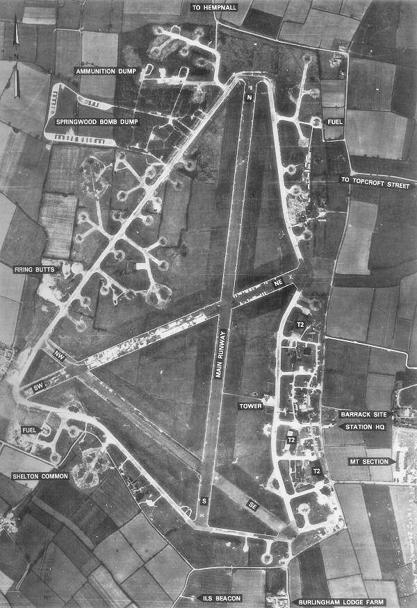
RAF Hardwick
Royal Air Force Hardwick or more simply RAF Hardwick is a former Royal Air Force station located between the Norfolk villages of Topcroft and Hardwick...

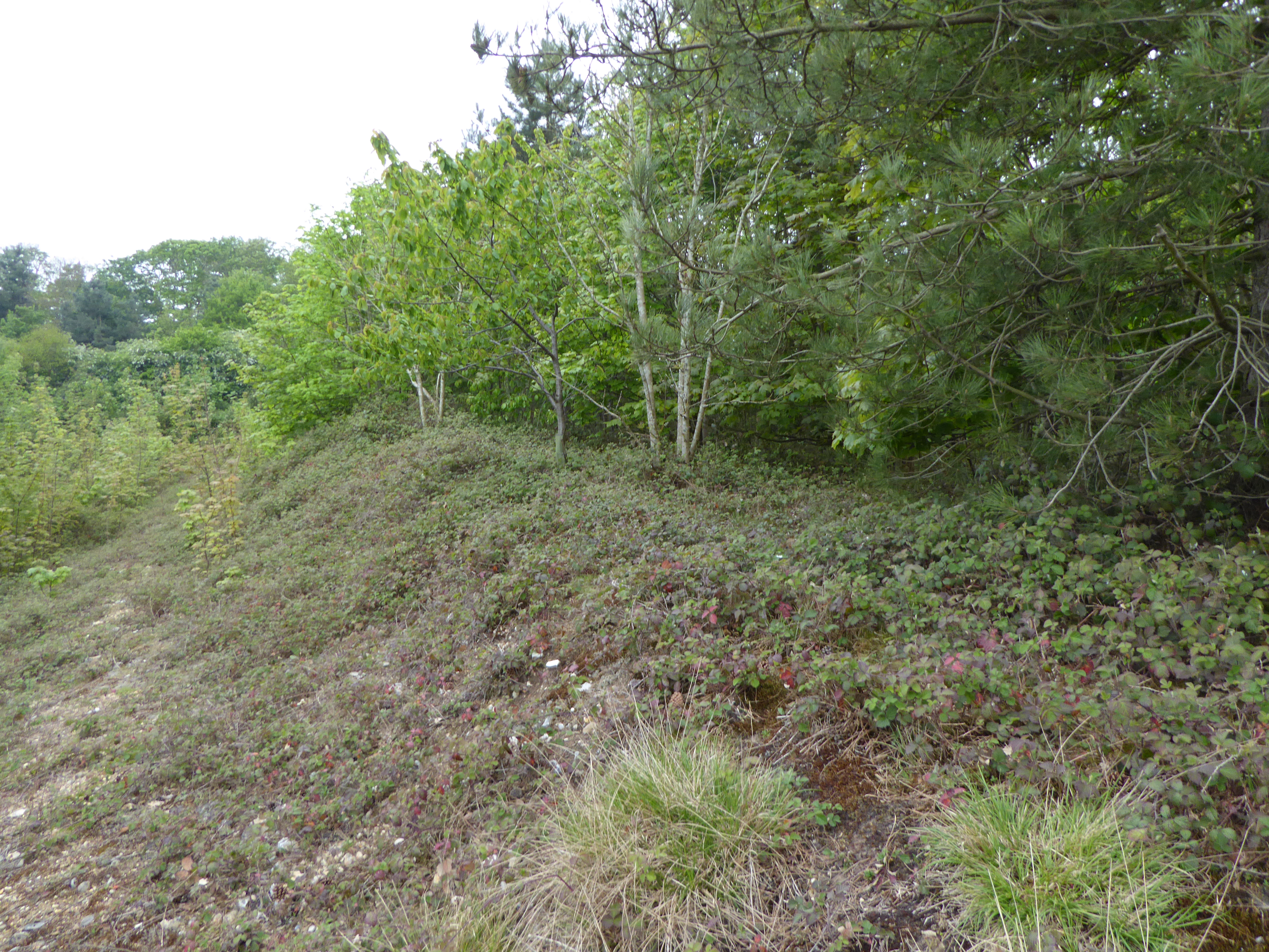
Sexton Wood
Sexton Wood is a 40-hectare (99-acre) biological Site of Special Scientific Interest north-west of Ditchingham in Norfolk. It is a Nature Conservation...
Nearby Amenities
Located within 500m of 52.450722,1.348293Have you been to Denton?
Leave your review of Denton below (or comments, questions and feedback).