Denton

Civil Parish in Lincolnshire South Kesteven

England

Denton

The Gatehouse The gatehouse for Denton Manor.  These are a grade II listed building - see <span class="nowrap"><a title="https://historicengland.org.uk/listing/the-list/list-entry/1147559" rel="nofollow ugc noopener" href="https://historicengland.org.uk/listing/the-list/list-entry/1147559">Link</a><img style="margin-left:2px;" alt="External link" title="External link - shift click to open in new window" src="https://s1.geograph.org.uk/img/external.png" width="10" height="10"/></span>
The Gatehouse Credit: Bob Harvey

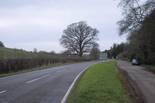
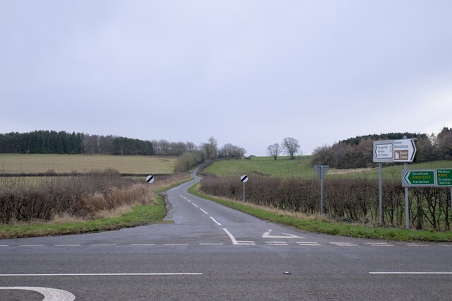
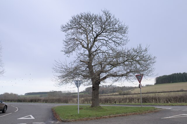
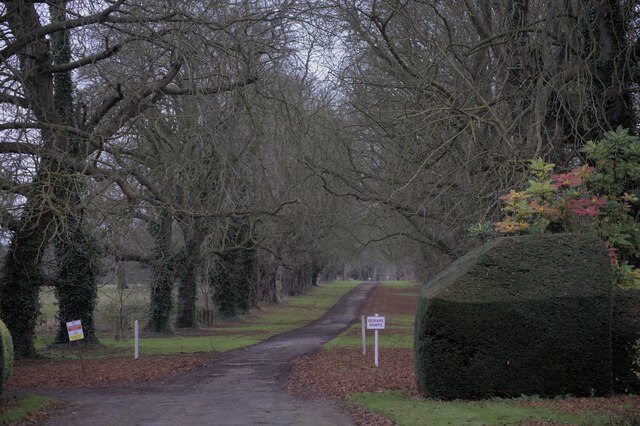
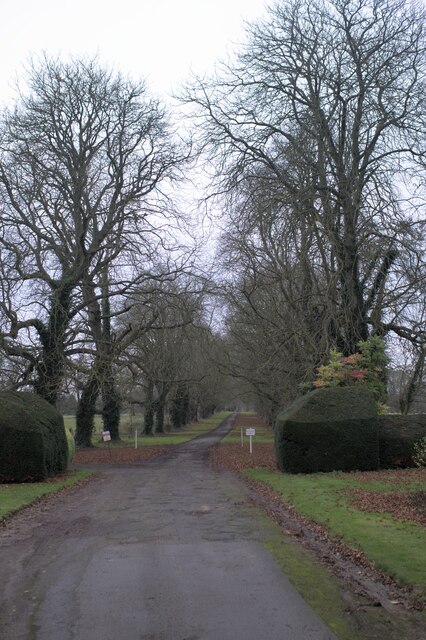
Denton is a civil parish located in the county of Lincolnshire, England. Situated approximately 6 miles south of the market town of Grantham, Denton covers an area of around 7.3 square miles. The parish is surrounded by beautiful countryside, offering picturesque views and a tranquil environment.

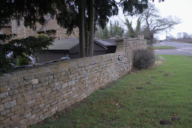
The village of Denton itself is small, with a population of around 350 residents. It is characterized by its charming, traditional stone cottages and well-maintained gardens. The local community is close-knit, and the parish holds regular social events and gatherings, fostering a strong sense of community spirit.

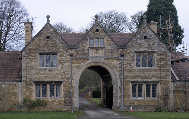
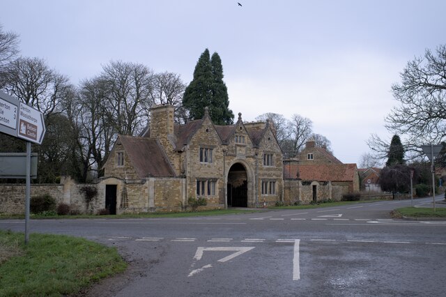
Denton is home to St. Andrew's Church, a Grade II listed building that dates back to the 12th century. The church is known for its striking architectural features and stained glass windows, attracting visitors and historians alike.

The parish also boasts several amenities and services to cater to its residents' needs. These include a village hall, a primary school, a post office, and a pub, providing essential facilities within easy reach.

The surrounding countryside offers opportunities for outdoor activities such as walking, cycling, and horse riding. Denton is well-connected to neighboring towns and cities, with regular bus services and easy access to major road networks, making it a convenient location for commuters.

Overall, Denton, Lincolnshire is a charming and peaceful civil parish that offers a rural retreat while still providing essential amenities and good transport links to nearby urban areas.

If you have any feedback on the listing, please let us know in the comments section below.
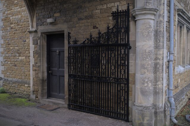
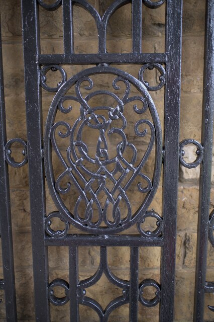
Denton Images

Images are sourced within 2km of 52.882594/-0.722478 or Grid Reference SK8632. Thanks to Geograph Open Source API. All images are credited.

The Gatehouse The gatehouse for Denton Manor.  These are a grade II listed building - see <span class="nowrap"><a title="https://historicengland.org.uk/listing/the-list/list-entry/1147559" rel="nofollow ugc noopener" href="https://historicengland.org.uk/listing/the-list/list-entry/1147559">Link</a><img style="margin-left:2px;" alt="External link" title="External link - shift click to open in new window" src="https://s1.geograph.org.uk/img/external.png" width="10" height="10"/></span>
The Gatehouse
The gatehouse for Denton Manor. These are a grade II listed building - see LinkExternal link
The gatehouse at the crossroads Under the arch is the road to Denton Manor.  A grade II listed building - see <span class="nowrap"><a title="https://historicengland.org.uk/listing/the-list/list-entry/1147559" rel="nofollow ugc noopener" href="https://historicengland.org.uk/listing/the-list/list-entry/1147559">Link</a><img style="margin-left:2px;" alt="External link" title="External link - shift click to open in new window" src="https://s1.geograph.org.uk/img/external.png" width="10" height="10"/></span>
The gatehouse at the crossroads
Under the arch is the road to Denton Manor. A grade II listed building - see LinkExternal link
The A607 road The A607 is an A road which runs for 54 miles between Leicester and Bracebridge Heath, a village on the outskirts of Lincoln. It crosses the A1 at Grantham. Beyond Grantham, the A607 forms the "villages" route between the A1 and Lincoln, not as direct as the High Dyke route (B6403) and not as fast as the Newark route (A1/A46), but is probably the most scenic of the three.
The A607 road
The A607 is an A road which runs for 54 miles between Leicester and Bracebridge Heath, a village on the outskirts of Lincoln. It crosses the A1 at Grantham. Beyond Grantham, the A607 forms the "villages" route between the A1 and Lincoln, not as direct as the High Dyke route (B6403) and not as fast as the Newark route (A1/A46), but is probably the most scenic of the three.
A Hill In the foreground is the A607, the Grantham to Melton road.  Joining it at the crossroads at Denton is country lane to Hungerton.
A Hill
In the foreground is the A607, the Grantham to Melton road. Joining it at the crossroads at Denton is country lane to Hungerton.
 Castanea sativa Sweet chestnut tree on the green triangle at Denton, on the crossroads on the A607.
Castanea sativa
Sweet chestnut tree on the green triangle at Denton, on the crossroads on the A607.
Spring in field There is a spring in this field, in a little fold in the rising ground.
Spring in field
There is a spring in this field, in a little fold in the rising ground.
The drive to the Manor Through the arch at <a href="https://www.geograph.org.uk/photo/7057862">SK8632 : The gatehouse at the crossroads</a>.
The drive to the Manor
Ashlar panel Described in the listing at <span class="nowrap"><a title="https://historicengland.org.uk/listing/the-list/list-entry/1147559" rel="nofollow ugc noopener" href="https://historicengland.org.uk/listing/the-list/list-entry/1147559">Link</a><img style="margin-left:2px;" alt="External link" title="External link - shift click to open in new window" src="https://s1.geograph.org.uk/img/external.png" width="10" height="10"/></span> as "an ashlar panel containing coat of arms and inscription "Per ignem per gladium"".  This is the motto of the Welby family  - the rather alarming "By Fire By Sword".
Ashlar panel
Described in the listing at LinkExternal link as "an ashlar panel containing coat of arms and inscription "Per ignem per gladium"". This is the motto of the Welby family - the rather alarming "By Fire By Sword".
Architectural detail Features of the gatehouse described in the listing at a grade II listed building - see <span class="nowrap"><a title="https://historicengland.org.uk/listing/the-list/list-entry/1147559" rel="nofollow ugc noopener" href="https://historicengland.org.uk/listing/the-list/list-entry/1147559">Link</a><img style="margin-left:2px;" alt="External link" title="External link - shift click to open in new window" src="https://s1.geograph.org.uk/img/external.png" width="10" height="10"/></span> . "All windows have stone ovolo moulded mullions, diamond leaded casements and cornices. In the 3 gables are small keyed oculi."
Architectural detail
Features of the gatehouse described in the listing at a grade II listed building - see LinkExternal link . "All windows have stone ovolo moulded mullions, diamond leaded casements and cornices. In the 3 gables are small keyed oculi."
One of the gates The gatehouse in <a href="https://www.geograph.org.uk/photo/7057860">SK8632 : The Gatehouse</a> has two of these, as described in the listing at a grade II listed building - see <span class="nowrap"><a title="https://historicengland.org.uk/listing/the-list/list-entry/1147559" rel="nofollow ugc noopener" href="https://historicengland.org.uk/listing/the-list/list-entry/1147559">Link</a><img style="margin-left:2px;" alt="External link" title="External link - shift click to open in new window" src="https://s1.geograph.org.uk/img/external.png" width="10" height="10"/></span> .
One of the gates
The gatehouse in SK8632 : The Gatehouse has two of these, as described in the listing at a grade II listed building - see LinkExternal link .
Knot motif At the centre of the gates seen in <a href="https://www.geograph.org.uk/photo/7057944">SK8632 : One of the gates</a> is this complex motif
Knot motif
At the centre of the gates seen in SK8632 : One of the gates is this complex motif
found art I liked the appearance of these tiles, removed during the work at <a href="https://www.geograph.org.uk/photo/7057860">SK8632 : The Gatehouse</a> which necessitates the scaffolding seen there.
found art
I liked the appearance of these tiles, removed during the work at SK8632 : The Gatehouse which necessitates the scaffolding seen there.
Tall tree A pine behind the gatehouse at Denton Manor
Tall tree
A pine behind the gatehouse at Denton Manor
The drive to the Manor
A tree-lined drive
A tree-lined drive
The Manor Wall The wall around Denton Manor
The Manor Wall
The wall around Denton Manor
Seedhead I was impressed by the skeletal beauty of this seedhead, whose function has long since passed.
Seedhead
I was impressed by the skeletal beauty of this seedhead, whose function has long since passed.
Signs on the A607 The A607 is an A road which runs for 54 miles between Leicester and Bracebridge Heath, a village on the outskirts of Lincoln. It crosses the A1 at Grantham. Beyond Grantham, the A607 forms the "villages" route between the A1 and Lincoln, not as direct as the High Dyke route (B6403) and not as fast as the Newark route (A1/A46), but is probably the most scenic of the three.
Signs on the A607
The A607 is an A road which runs for 54 miles between Leicester and Bracebridge Heath, a village on the outskirts of Lincoln. It crosses the A1 at Grantham. Beyond Grantham, the A607 forms the "villages" route between the A1 and Lincoln, not as direct as the High Dyke route (B6403) and not as fast as the Newark route (A1/A46), but is probably the most scenic of the three.
Show me another place!

Denton is located at Grid Ref: SK8632 (Lat: 52.882594, Lng: -0.722478)

Administrative County: Lincolnshire

District: South Kesteven

Police Authority: Lincolnshire

What 3 Words

///wasp.glassware.doors. Near Barrowby, Lincolnshire
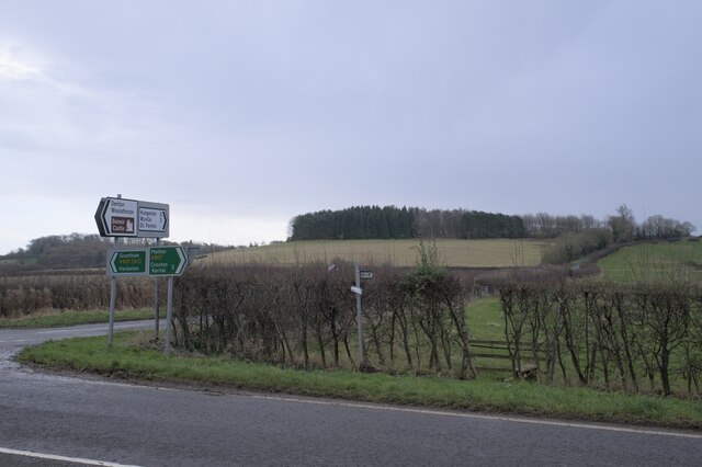
Related Wikis

Denton, Lincolnshire

Denton is a village and civil parish in the South Kesteven district of Lincolnshire, England. The population of the civil parish was 273 at the 2011 census...

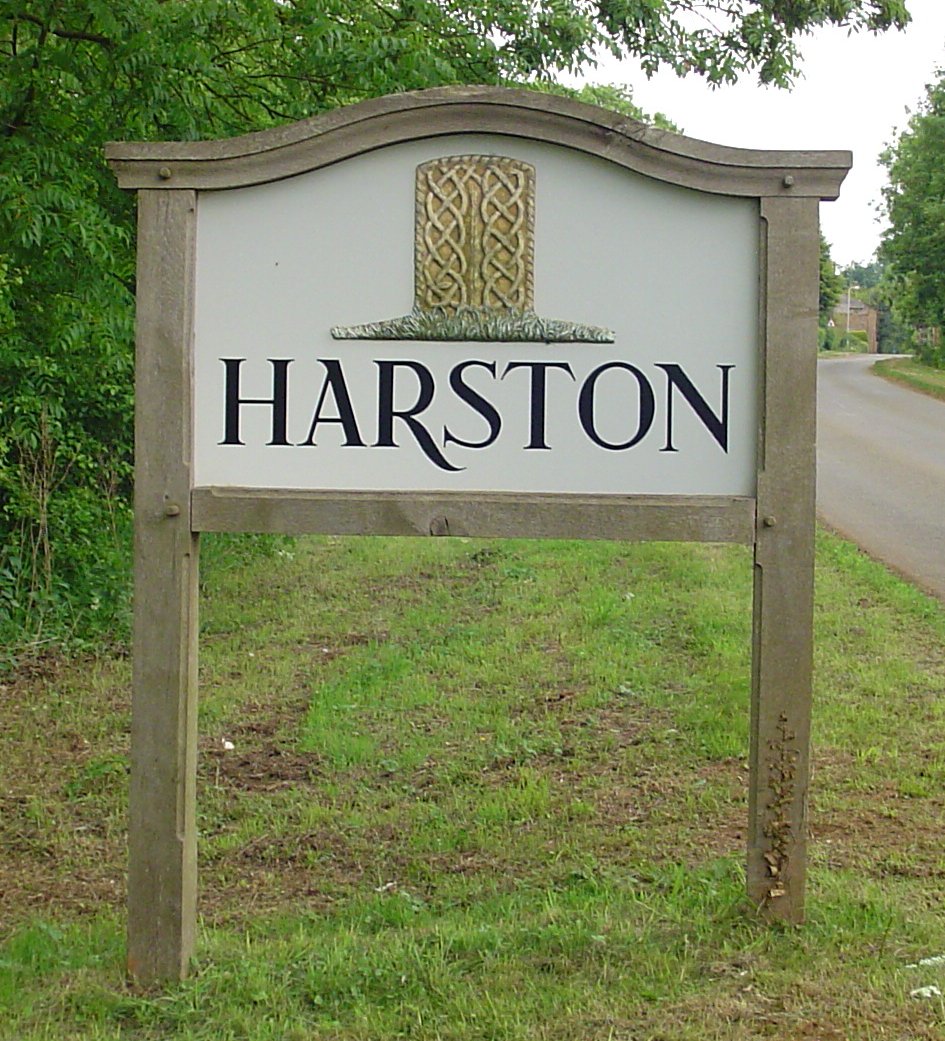
Harston, Leicestershire

Harston is a crossroads village and former civil parish, now in the parish of Belvoir, in the Melton district, in Leicestershire, England, near the border...

St Mary and St Peter's Church, Harlaxton

St Mary and St Peter's Church is a Grade I listed Church of England parish church dedicated to Saint Mary and Saint Peter in Harlaxton, Lincolnshire, England...

Harlaxton

Harlaxton is a village and civil parish in the South Kesteven district of Lincolnshire, England. It lies on the edge of the Vale of Belvoir and just off...

Woolsthorpe by Belvoir

Woolsthorpe by Belvoir, also known as Woolsthorpe is a village and civil parish in the South Kesteven district of Lincolnshire, England. The population...

Casthorpe

Casthorpe is hamlet in the civil parish of Barrowby and the South Kesteven District of Lincolnshire, England. It is 23 miles (40 km) south-southwest from...
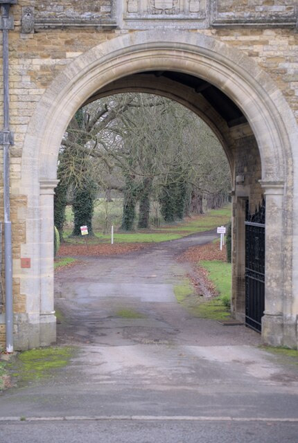
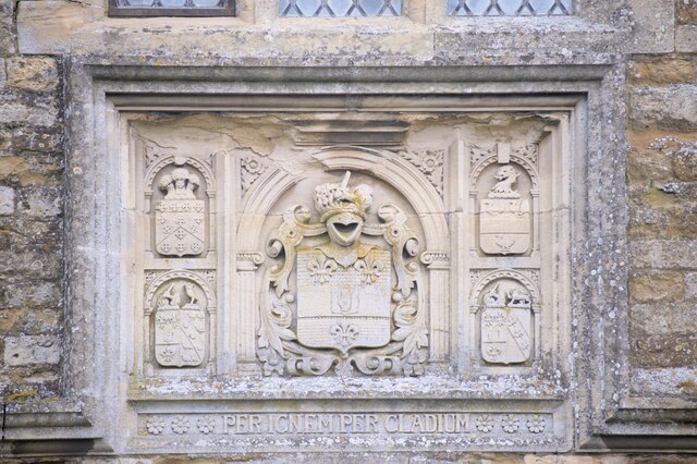
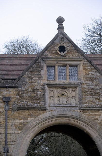
Harlaxton Manor

Harlaxton Manor is a Victorian country house in Harlaxton, Lincolnshire, England. It was built for Gregory Gregory, a local squire and businessman. Gregory...

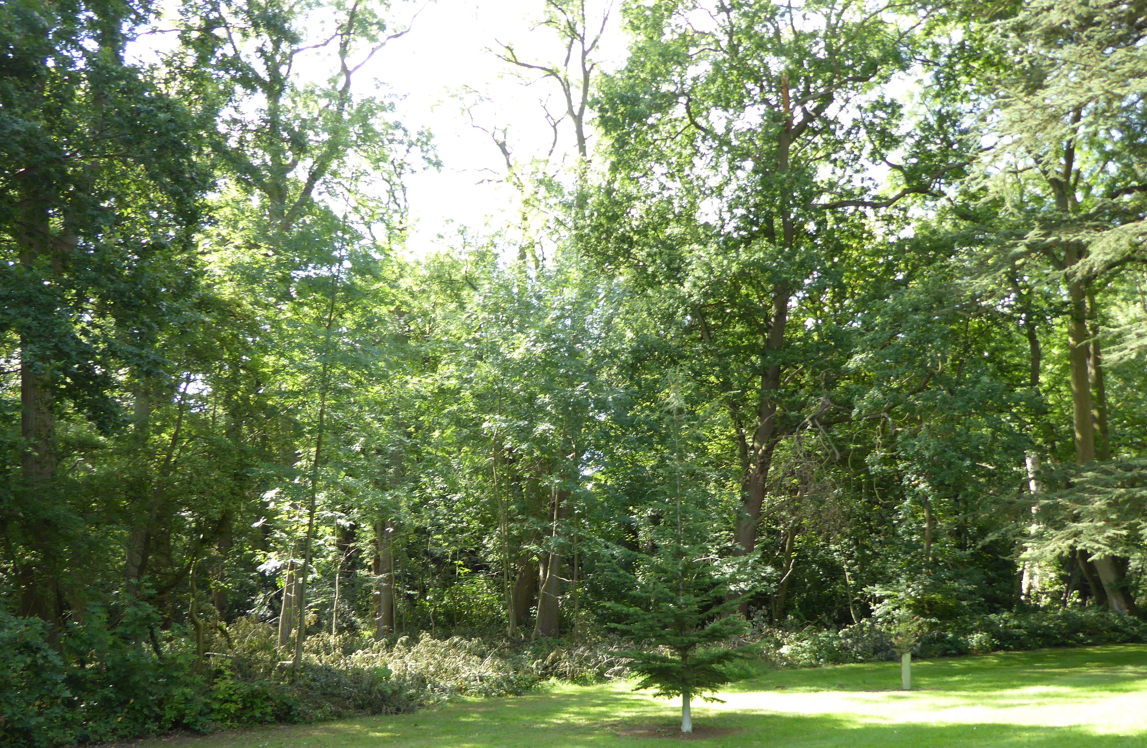
Briery Wood Heronry, Belvoir

Briery Wood Heronry is a 5.7-hectare (14-acre) biological Site of Special Scientific Interest in the grounds of Belvoir Castle in Leicestershire.This is...

Nearby Amenities

Located within 500m of 52.882594,-0.722478
Denton Manor
Place: isolated_dwelling
Source: Bing
Lat/Long: 52.8828941/-0.7211401
Power: pole
Lat/Long: 52.8851147/-0.7229003
Power: pole
Lat/Long: 52.8841679/-0.7273609
Power: pole
Lat/Long: 52.8838652/-0.7284552
Power: pole
Lat/Long: 52.8845466/-0.7261807
Power: pole
Lat/Long: 52.8857459/-0.7193625
Power: pole
Lat/Long: 52.885453/-0.7210979
Grit Bin
L.C.C. Grit
Lat/Long: 52.8829399/-0.7247435
Grit Bin
L.C.C. Grit
Lat/Long: 52.8842674/-0.7190399
Building: yes
Lat/Long: 52.8816239/-0.7231412
Building: yes
Lat/Long: 52.8834237/-0.7214246
The data included in this document is from www.openstreetmap.org. The data is made available under ODbL.

Have you been to Denton?

Leave your review of Denton below (or comments, questions and feedback).