Denton

Settlement in Lincolnshire South Kesteven

England

Denton

The Gatehouse The gatehouse for Denton Manor.  These are a grade II listed building - see <span class="nowrap"><a title="https://historicengland.org.uk/listing/the-list/list-entry/1147559" rel="nofollow ugc noopener" href="https://historicengland.org.uk/listing/the-list/list-entry/1147559">Link</a><img style="margin-left:2px;" alt="External link" title="External link - shift click to open in new window" src="https://s1.geograph.org.uk/img/external.png" width="10" height="10"/></span>
The Gatehouse Credit: Bob Harvey

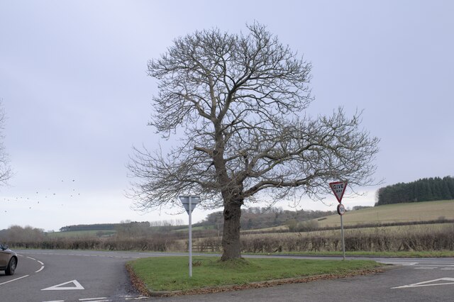
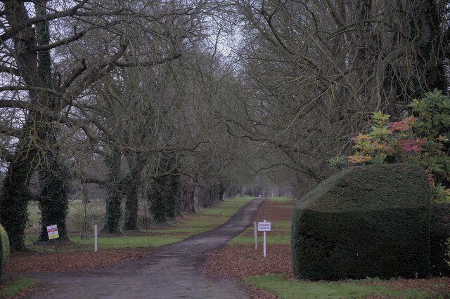
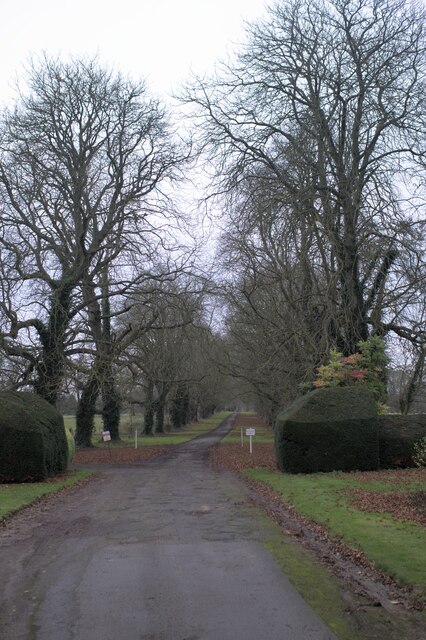
Denton is a small village located in the county of Lincolnshire, England. Situated approximately 7 miles south-east of the town of Grantham, Denton is nestled in the picturesque Vale of Belvoir. The village is surrounded by rolling hills and offers stunning views of the countryside.

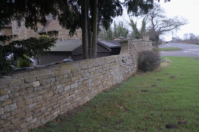
With a population of around 300 residents, Denton maintains its peaceful and rural atmosphere. The village boasts a charming mix of traditional stone cottages and modern houses, showcasing the area's rich architectural heritage.

Denton is known for its close-knit community spirit, with various social events and activities organized throughout the year. The village has a local pub, The Reindeer Inn, which serves as a hub for residents and visitors alike. Additionally, there is a village hall that hosts a range of gatherings, including community meetings and celebrations.

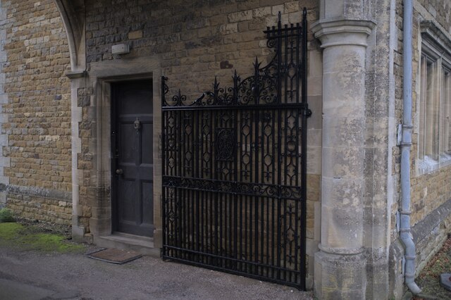
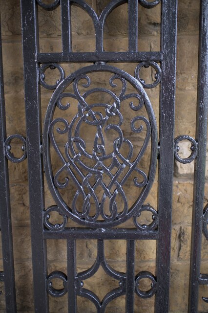
The village is also home to St. Andrew's Church, a beautiful medieval building dating back to the 13th century. The church is a focal point of Denton and holds regular services, as well as hosting weddings and other religious ceremonies.

Denton benefits from its proximity to the nearby market town of Grantham, where residents have access to a wider range of amenities, including supermarkets, schools, and healthcare facilities. The village is well-connected to surrounding areas via a network of roads, making it easily accessible by car.

Overall, Denton offers a tranquil and idyllic setting for those seeking a peaceful lifestyle amidst the natural beauty of the Lincolnshire countryside.

If you have any feedback on the listing, please let us know in the comments section below.
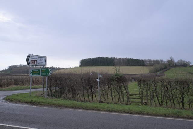
Denton Images

Images are sourced within 2km of 52.884545/-0.71447207 or Grid Reference SK8632. Thanks to Geograph Open Source API. All images are credited.

The Gatehouse The gatehouse for Denton Manor.  These are a grade II listed building - see <span class="nowrap"><a title="https://historicengland.org.uk/listing/the-list/list-entry/1147559" rel="nofollow ugc noopener" href="https://historicengland.org.uk/listing/the-list/list-entry/1147559">Link</a><img style="margin-left:2px;" alt="External link" title="External link - shift click to open in new window" src="https://s1.geograph.org.uk/img/external.png" width="10" height="10"/></span>
The Gatehouse
The gatehouse for Denton Manor. These are a grade II listed building - see LinkExternal link
The gatehouse at the crossroads Under the arch is the road to Denton Manor.  A grade II listed building - see <span class="nowrap"><a title="https://historicengland.org.uk/listing/the-list/list-entry/1147559" rel="nofollow ugc noopener" href="https://historicengland.org.uk/listing/the-list/list-entry/1147559">Link</a><img style="margin-left:2px;" alt="External link" title="External link - shift click to open in new window" src="https://s1.geograph.org.uk/img/external.png" width="10" height="10"/></span>
The gatehouse at the crossroads
Under the arch is the road to Denton Manor. A grade II listed building - see LinkExternal link
The A607 road The A607 is an A road which runs for 54 miles between Leicester and Bracebridge Heath, a village on the outskirts of Lincoln. It crosses the A1 at Grantham. Beyond Grantham, the A607 forms the "villages" route between the A1 and Lincoln, not as direct as the High Dyke route (B6403) and not as fast as the Newark route (A1/A46), but is probably the most scenic of the three.
The A607 road
The A607 is an A road which runs for 54 miles between Leicester and Bracebridge Heath, a village on the outskirts of Lincoln. It crosses the A1 at Grantham. Beyond Grantham, the A607 forms the "villages" route between the A1 and Lincoln, not as direct as the High Dyke route (B6403) and not as fast as the Newark route (A1/A46), but is probably the most scenic of the three.
A Hill In the foreground is the A607, the Grantham to Melton road.  Joining it at the crossroads at Denton is country lane to Hungerton.
A Hill
In the foreground is the A607, the Grantham to Melton road. Joining it at the crossroads at Denton is country lane to Hungerton.
 Castanea sativa Sweet chestnut tree on the green triangle at Denton, on the crossroads on the A607.
Castanea sativa
Sweet chestnut tree on the green triangle at Denton, on the crossroads on the A607.
Spring in field There is a spring in this field, in a little fold in the rising ground.
Spring in field
There is a spring in this field, in a little fold in the rising ground.
The drive to the Manor Through the arch at <a href="https://www.geograph.org.uk/photo/7057862">SK8632 : The gatehouse at the crossroads</a>.
The drive to the Manor
Ashlar panel Described in the listing at <span class="nowrap"><a title="https://historicengland.org.uk/listing/the-list/list-entry/1147559" rel="nofollow ugc noopener" href="https://historicengland.org.uk/listing/the-list/list-entry/1147559">Link</a><img style="margin-left:2px;" alt="External link" title="External link - shift click to open in new window" src="https://s1.geograph.org.uk/img/external.png" width="10" height="10"/></span> as "an ashlar panel containing coat of arms and inscription "Per ignem per gladium"".  This is the motto of the Welby family  - the rather alarming "By Fire By Sword".
Ashlar panel
Described in the listing at LinkExternal link as "an ashlar panel containing coat of arms and inscription "Per ignem per gladium"". This is the motto of the Welby family - the rather alarming "By Fire By Sword".
Architectural detail Features of the gatehouse described in the listing at a grade II listed building - see <span class="nowrap"><a title="https://historicengland.org.uk/listing/the-list/list-entry/1147559" rel="nofollow ugc noopener" href="https://historicengland.org.uk/listing/the-list/list-entry/1147559">Link</a><img style="margin-left:2px;" alt="External link" title="External link - shift click to open in new window" src="https://s1.geograph.org.uk/img/external.png" width="10" height="10"/></span> . "All windows have stone ovolo moulded mullions, diamond leaded casements and cornices. In the 3 gables are small keyed oculi."
Architectural detail
Features of the gatehouse described in the listing at a grade II listed building - see LinkExternal link . "All windows have stone ovolo moulded mullions, diamond leaded casements and cornices. In the 3 gables are small keyed oculi."
One of the gates The gatehouse in <a href="https://www.geograph.org.uk/photo/7057860">SK8632 : The Gatehouse</a> has two of these, as described in the listing at a grade II listed building - see <span class="nowrap"><a title="https://historicengland.org.uk/listing/the-list/list-entry/1147559" rel="nofollow ugc noopener" href="https://historicengland.org.uk/listing/the-list/list-entry/1147559">Link</a><img style="margin-left:2px;" alt="External link" title="External link - shift click to open in new window" src="https://s1.geograph.org.uk/img/external.png" width="10" height="10"/></span> .
One of the gates
The gatehouse in SK8632 : The Gatehouse has two of these, as described in the listing at a grade II listed building - see LinkExternal link .
Knot motif At the centre of the gates seen in <a href="https://www.geograph.org.uk/photo/7057944">SK8632 : One of the gates</a> is this complex motif
Knot motif
At the centre of the gates seen in SK8632 : One of the gates is this complex motif
found art I liked the appearance of these tiles, removed during the work at <a href="https://www.geograph.org.uk/photo/7057860">SK8632 : The Gatehouse</a> which necessitates the scaffolding seen there.
found art
I liked the appearance of these tiles, removed during the work at SK8632 : The Gatehouse which necessitates the scaffolding seen there.
Tall tree A pine behind the gatehouse at Denton Manor
Tall tree
A pine behind the gatehouse at Denton Manor
The drive to the Manor
A tree-lined drive
A tree-lined drive
The Manor Wall The wall around Denton Manor
The Manor Wall
The wall around Denton Manor
Seedhead I was impressed by the skeletal beauty of this seedhead, whose function has long since passed.
Seedhead
I was impressed by the skeletal beauty of this seedhead, whose function has long since passed.
Signs on the A607 The A607 is an A road which runs for 54 miles between Leicester and Bracebridge Heath, a village on the outskirts of Lincoln. It crosses the A1 at Grantham. Beyond Grantham, the A607 forms the "villages" route between the A1 and Lincoln, not as direct as the High Dyke route (B6403) and not as fast as the Newark route (A1/A46), but is probably the most scenic of the three.
Signs on the A607
The A607 is an A road which runs for 54 miles between Leicester and Bracebridge Heath, a village on the outskirts of Lincoln. It crosses the A1 at Grantham. Beyond Grantham, the A607 forms the "villages" route between the A1 and Lincoln, not as direct as the High Dyke route (B6403) and not as fast as the Newark route (A1/A46), but is probably the most scenic of the three.
Show me another place!

Denton is located at Grid Ref: SK8632 (Lat: 52.884545, Lng: -0.71447207)

Division: Parts of Kesteven

Administrative County: Lincolnshire

District: South Kesteven

Police Authority: Lincolnshire

What 3 Words

///jump.presuming.mashing. Near Barrowby, Lincolnshire

Related Wikis

Denton, Lincolnshire

Denton is a village and civil parish in the South Kesteven district of Lincolnshire, England. The population of the civil parish was 273 at the 2011 census...

St Mary and St Peter's Church, Harlaxton

St Mary and St Peter's Church is a Grade I listed Church of England parish church dedicated to Saint Mary and Saint Peter in Harlaxton, Lincolnshire, England...

Harlaxton

Harlaxton is a village and civil parish in the South Kesteven district of Lincolnshire, England. It lies on the edge of the Vale of Belvoir and just off...

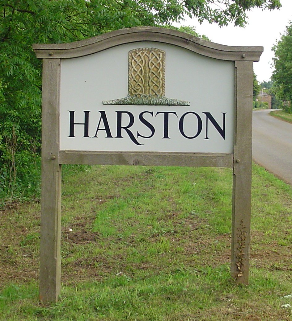
Harston, Leicestershire

Harston is a crossroads village and former civil parish, now in the parish of Belvoir, in the Melton district, in Leicestershire, England, near the border...

Casthorpe

Casthorpe is hamlet in the civil parish of Barrowby and the South Kesteven District of Lincolnshire, England. It is 23 miles (40 km) south-southwest from...
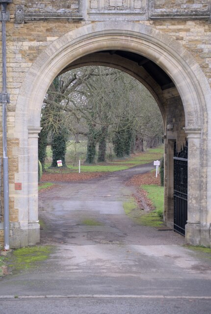
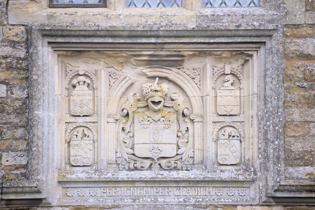
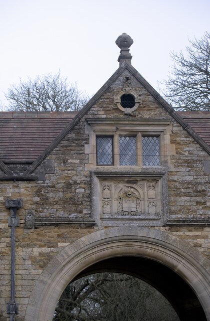
Harlaxton Manor

Harlaxton Manor is a Victorian country house in Harlaxton, Lincolnshire, England. It was built for Gregory Gregory, a local squire and businessman. Gregory...

Woolsthorpe by Belvoir

Woolsthorpe by Belvoir, also known as Woolsthorpe is a village and civil parish in the South Kesteven district of Lincolnshire, England. The population...

Ponton Heath Barrow Cemetery

The Ponton Heath Barrow Cemetery is a group of at least eleven Middle Bronze Age round barrows south of Grantham, in the South Kesteven district of Lincolnshire...

Nearby Amenities

Located within 500m of 52.884545,-0.71447207
Denton
Is In: Lincolnshire, England, UK
Place: village
Lat/Long: 52.8835894/-0.711023
Bus Stop
Hungate Road
Bus: yes
Naptan AtcoCode: 270000008551
Naptan Bearing: NW
Naptan CommonName: Hungate Road
Naptan Indicator: adj
Naptan Landmark: Hungate Road
Naptan NaptanCode: lingtgdt
Naptan Street: Main Street
Naptan Verified: no
Public Transport: platform
Source: naptan_import
Lat/Long: 52.8830709/-0.7101814
Bus Stop
Hungate Road
Bus: yes
Naptan AtcoCode: 270000008552
Naptan Bearing: SE
Naptan CommonName: Hungate Road
Naptan Indicator: opp
Naptan Landmark: Hungate Road
Naptan NaptanCode: lingtgdw
Naptan Street: Main Street
Naptan Verified: no
Public Transport: platform
Source: naptan_import
Lat/Long: 52.8832323/-0.7101469
Denton Manor
Place: isolated_dwelling
Source: Bing
Lat/Long: 52.8828941/-0.7211401
Glebe Farm
Place: farm
Source: Bing
Lat/Long: 52.8846812/-0.7113806
Power: pole
Lat/Long: 52.8860858/-0.7175976
Power: pole
Lat/Long: 52.8857459/-0.7193625
Power: pole
Lat/Long: 52.885453/-0.7210979
Denton Parish Council
Board Type: notice
Information: board
Tourism: information
Lat/Long: 52.8832412/-0.7104537
Grit Bin
L.C.C. Grit
Lat/Long: 52.8842674/-0.7190399
Grit Bin
L.C.C. Grit
Lat/Long: 52.8845677/-0.7151568
Grit Bin
LCC Grit
Lat/Long: 52.8830477/-0.713273
Grit Bin
LCC Grit
Lat/Long: 52.8831248/-0.7148005
Grit Bin
LCC Grit
Lat/Long: 52.8832091/-0.7104841
Barrier: stile
Material: wood
Step Count: 2
Stile: stepover
Lat/Long: 52.8823566/-0.7080065
Post Box
Brand: Royal Mail
Brand Wikidata: Q638098
Brand Wikipedia: en:Royal Mail
Collection Times: Mo-Fr 17:00; Sa 11:15
Operator: Royal Mail
Operator Wikidata: Q638098
Post Box Mounting: pier
Post Box Type: lamp
Ref: NG32 111
Royal Cypher: EIIR
Royal Cypher Wikidata: Q33102113
Lat/Long: 52.883217/-0.7104555
Waste Basket
Lat/Long: 52.8832383/-0.7104185
Telephone
Defibrillator
Booth: K6
Covered: booth
Defibrillator Location: inside old red phone box, Main Street, Denton
Emergency: defibrillator
Man Made: telephone_box
Old Phone: +44 1476 870371
Lat/Long: 52.8832534/-0.7104138
Waste Basket
Lat/Long: 52.8859024/-0.7115838
Building: yes
Lat/Long: 52.8834237/-0.7214246
Place: farm
Lat/Long: 52.8862075/-0.7079062
Generator Method: photovoltaic
Generator Output Electricity: yes
Generator Source: solar
Generator Type: solar_photovoltaic_panel
Location: roof
Power: generator
Lat/Long: 52.883194/-0.7120777
The data included in this document is from www.openstreetmap.org. The data is made available under ODbL.

Have you been to Denton?

Leave your review of Denton below (or comments, questions and feedback).