Denby Dale
Civil Parish in Yorkshire Kirklees
England
Denby Dale
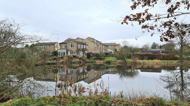
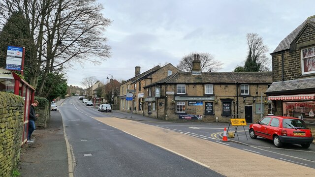
Denby Dale is a picturesque civil parish located in the metropolitan borough of Kirklees, West Yorkshire, England. It is situated in the historic county of Yorkshire and covers an area of approximately 16 square kilometers. The village of Denby Dale serves as the main settlement within the parish.
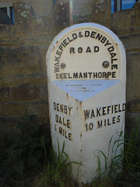
Denby Dale is renowned for its beautiful countryside, offering residents and visitors stunning views of rolling hills, lush green fields, and charming woodlands. The village is surrounded by several small hamlets, including Birdsedge, Upper and Lower Cumberworth, Upper and Lower Denby, and Skelmanthorpe.
The area has a rich history, with evidence of human habitation dating back to the Neolithic period. Denby Dale is known for its involvement in the textile industry during the Industrial Revolution, particularly in the production of woollen cloth. The village was home to numerous mills and factories, which played a significant role in shaping its economy and character.
Today, Denby Dale is a thriving community with a population of around 14,000 people. The village offers a range of amenities, including shops, pubs, restaurants, and schools, making it an attractive place to live. The local economy is diverse, with sectors such as agriculture, manufacturing, and services contributing to its prosperity.
Denby Dale is also famous for its annual Pie Festival, which attracts visitors from far and wide. The festival celebrates the village's culinary heritage, with various pie competitions, tastings, and entertainment for all ages.
In summary, Denby Dale is a picturesque civil parish in Yorkshire, known for its stunning countryside, rich history, and vibrant community.
If you have any feedback on the listing, please let us know in the comments section below.
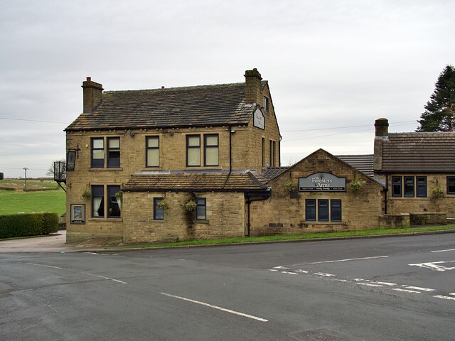
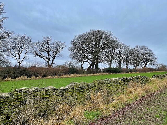
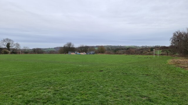
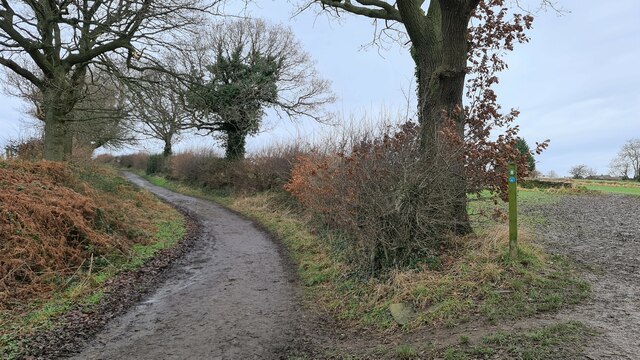
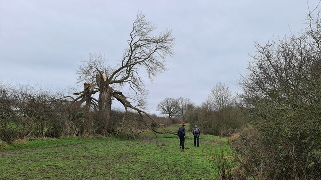
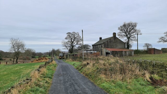
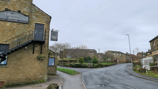
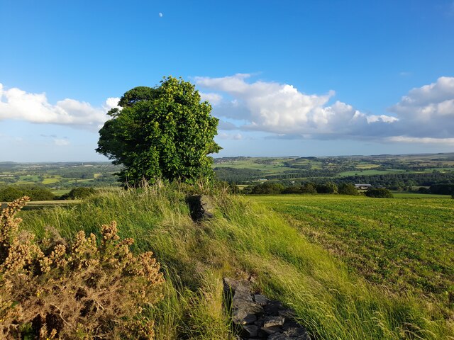
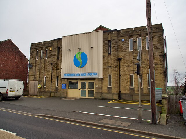
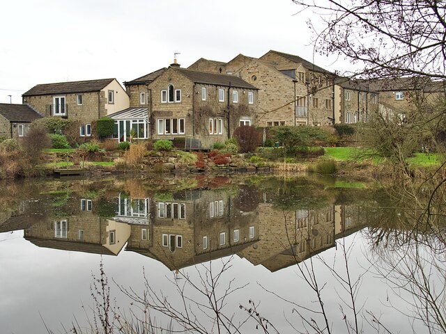
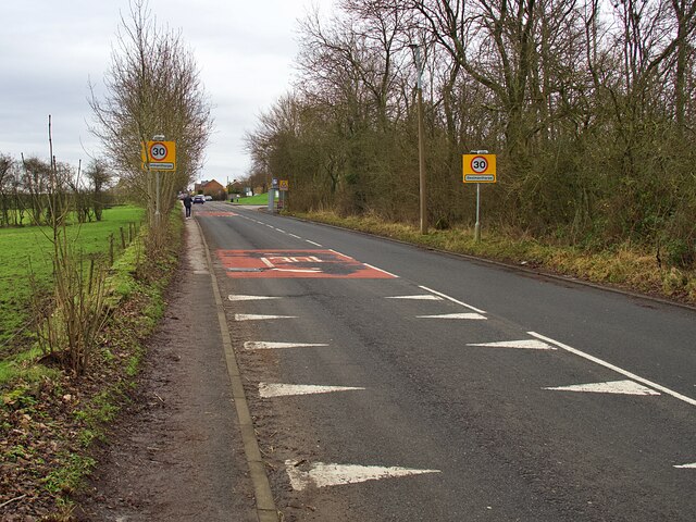
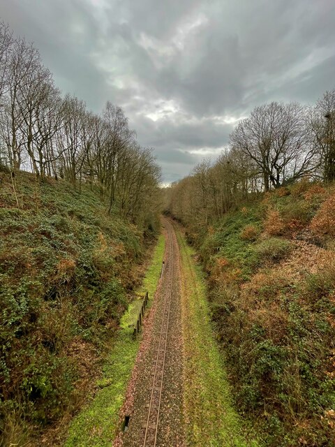
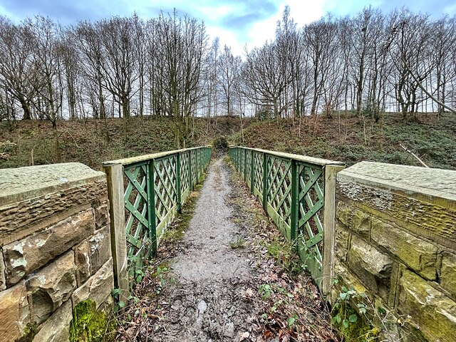
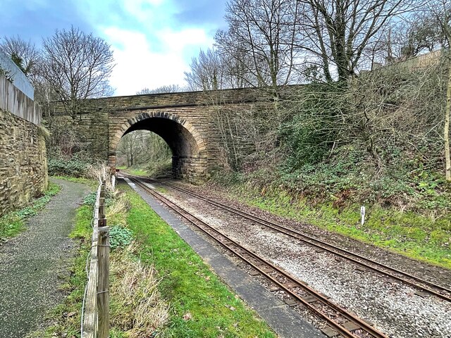
Denby Dale Images
Images are sourced within 2km of 53.58968/-1.643766 or Grid Reference SE2310. Thanks to Geograph Open Source API. All images are credited.
Denby Dale is located at Grid Ref: SE2310 (Lat: 53.58968, Lng: -1.643766)
Division: West Riding
Administrative County: West Yorkshire
District: Kirklees
Police Authority: West Yorkshire
What 3 Words
///pave.grid.dive. Near Denby Dale, West Yorkshire
Nearby Locations
Related Wikis
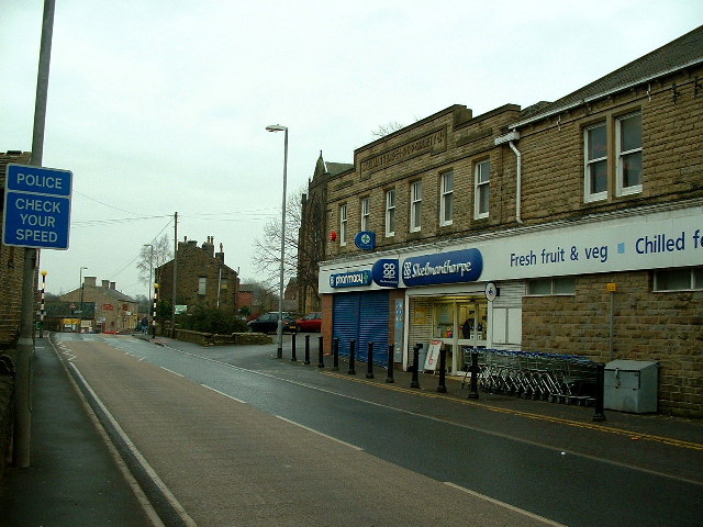
Skelmanthorpe
Skelmanthorpe is a village in the Denby Dale civil parish, in the metropolitan borough of Kirklees, in West Yorkshire, England. It is 8 miles (13 km)...

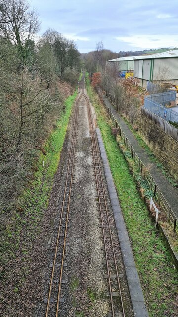
Clayton West branch line
The Clayton West branch line was a standard gauge passenger and freight railway near Huddersfield, in West Yorkshire, England. The line was built by the...

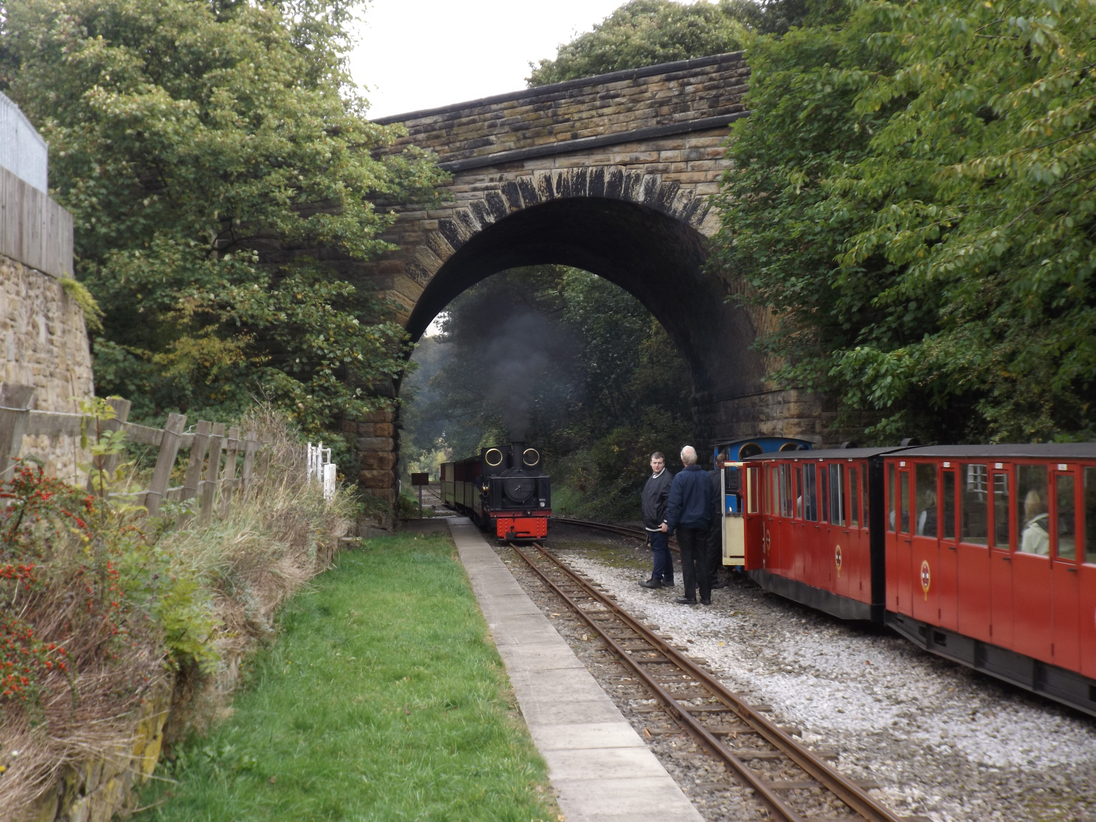
Cuckoos Nest railway station
Cuckoos Nest railway station is a station/halt on the Minimum Gauge Whistlestop Valley in West Yorkshire, Northern England. It also serves the village...
Skelmanthorpe railway station
Skelmanthorpe railway station is a station in West Yorkshire, England, that was previously part of the national rail network, and is now a station on the...
Related Videos

A walk around Denby Dale - Walks Around Britain Shorts
A quick look at a great walk around the West Yorkshire village of Denby Dale - direct from the railway station. To see the map ...
Upper Denby and Whisky tasting on a Motorhome Adventure
What's it like working shifts and living in a Van? Well after years of practice and a bit of preparation , not too bad! Going to bed ...
Return Journey // Riding the Trans Pennine Trail In Just 4 Days
It's good to get out your comfort zone and riding the Trans Pennine Trail for me was exactly that. With little to no off-road riding ...
ARRIVING AT DENBY DALE
Hello Jamie here and with another video. Arriving at Denby Dale, someone else got off with me, thats it. But that other person, got ...
Nearby Amenities
Located within 500m of 53.58968,-1.643766Have you been to Denby Dale?
Leave your review of Denby Dale below (or comments, questions and feedback).