Denby
Civil Parish in Derbyshire Amber Valley
England
Denby

Denby is a civil parish located in the county of Derbyshire, England. Situated within the Amber Valley district, the parish covers an area of approximately 4.5 square miles. The village of Denby itself is located about 8 miles northeast of Derby, the county town.
Denby is a rural area with a population of around 1,500 residents. The village is known for its long history of pottery production, dating back to the early 19th century. The famous Denby Pottery, established in 1809, is still in operation today and is a major employer in the area. The pottery is renowned for its high-quality stoneware and is a popular attraction for visitors.
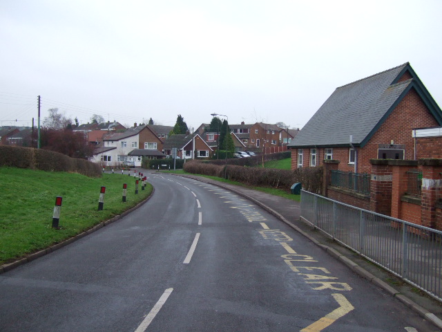
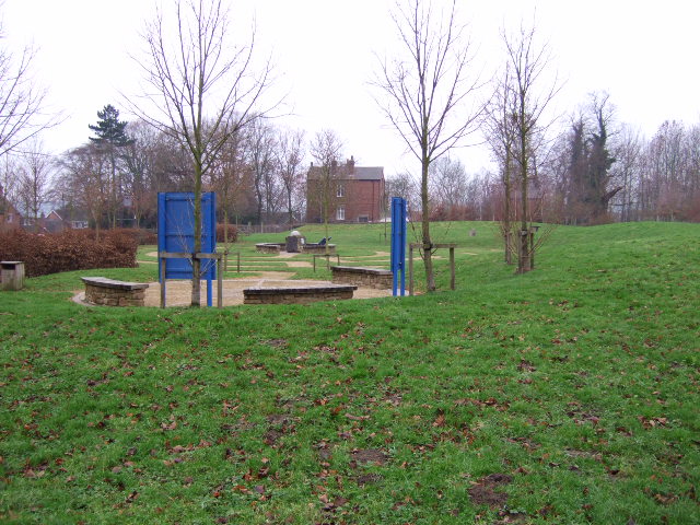
The village of Denby offers a range of amenities for its residents. These include a primary school, village hall, local shops, and a pub. The area is surrounded by picturesque countryside, making it an attractive place for outdoor enthusiasts. There are several walking and cycling routes in the vicinity, allowing residents and visitors to enjoy the natural beauty of the area.
Transport links in Denby are well-connected, with regular bus services providing easy access to nearby towns and cities. The A38 road runs close to the village, connecting it to the wider road network.
Overall, Denby is a charming rural village with a rich history in pottery production. With its range of amenities and beautiful countryside surroundings, it offers a peaceful and idyllic setting for residents and visitors alike.
If you have any feedback on the listing, please let us know in the comments section below.
Denby Images
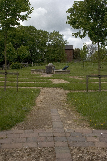
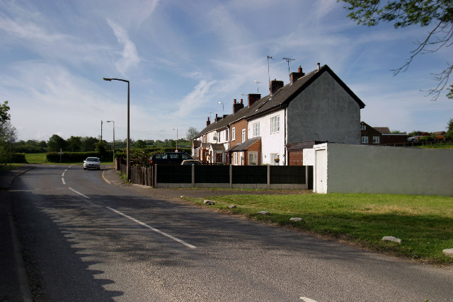
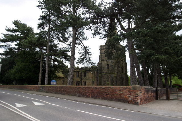
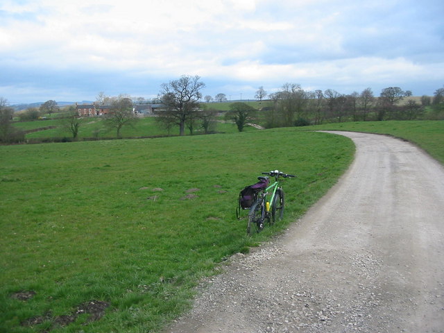
Images are sourced within 2km of 53.019749/-1.411506 or Grid Reference SK3947. Thanks to Geograph Open Source API. All images are credited.


Denby is located at Grid Ref: SK3947 (Lat: 53.019749, Lng: -1.411506)
Administrative County: Derbyshire
District: Amber Valley
Police Authority: Derbyshire
What 3 Words
///crystals.backdrop.signified. Near Ripley, Derbyshire
Nearby Locations
Related Wikis

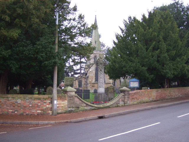
St Mary the Virgin's Church, Denby
St Mary the Virgin's Church, Denby is a Grade I listed parish church in the Church of England in Denby, Derbyshire. == History == The church dates from...
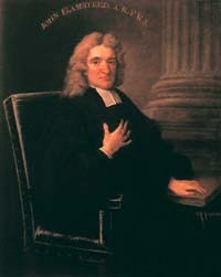
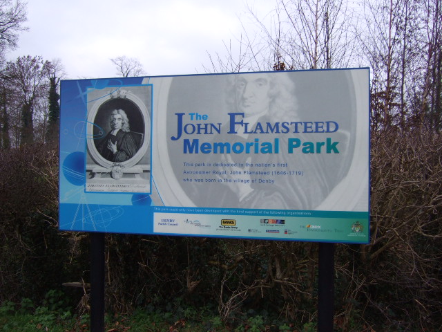
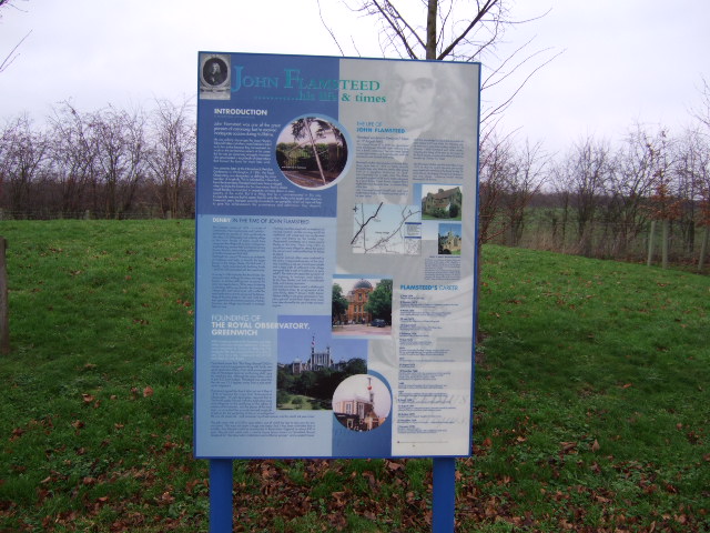
John Flamsteed Community School
John Flamsteed Community School is an 11–16 mixed secondary school with academy status in Denby, Derbyshire, England. It is named after Sir John Flamsteed...

Denby
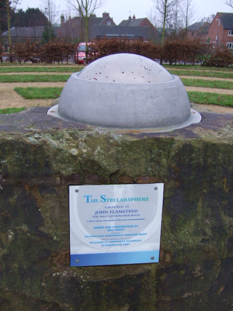
Denby is a village in the English county of Derbyshire that is notable as the birthplace of John Flamsteed, England's first Astronomer Royal, and the location...
Denby railway station
Denby railway station was a railway station which served the village of Denby in Derbyshire, England. It was opened in 1856 as Smithy Houses by the Midland...
Nearby Amenities
Located within 500m of 53.019749,-1.411506Have you been to Denby?
Leave your review of Denby below (or comments, questions and feedback).