Skelmanthorpe
Settlement in Yorkshire
England
Skelmanthorpe
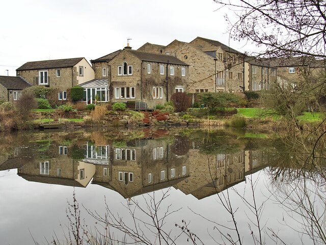
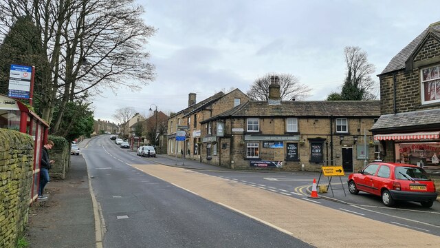
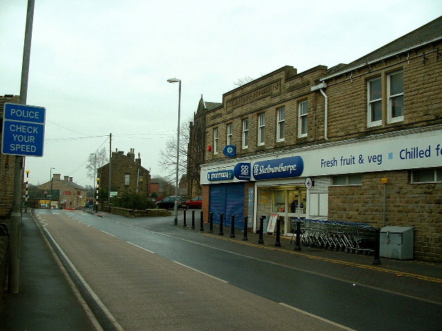
Skelmanthorpe is a village located in the metropolitan borough of Kirklees in West Yorkshire, England. It is situated approximately six miles south-east of Huddersfield and has a population of around 4,000 residents. The village is known for its strong sense of community and picturesque surroundings, with rolling hills and countryside providing a peaceful backdrop.
Skelmanthorpe has a rich history, with evidence of human settlement dating back to the Bronze Age. The village grew in prominence during the Industrial Revolution, with coal mining and textile manufacturing playing a significant role in its economy. Today, Skelmanthorpe is a predominantly residential area, with a mix of traditional stone cottages and modern housing developments.
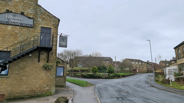
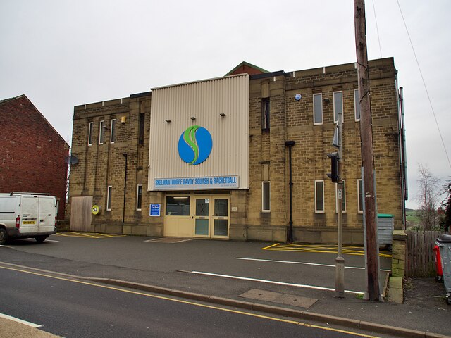
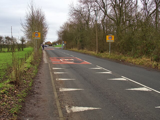
The village is home to a range of amenities, including shops, pubs, and schools. It also has a strong sporting community, with local football and cricket teams competing in various leagues. Skelmanthorpe is well-connected by road, with the M1 motorway just a short drive away, providing easy access to nearby cities such as Leeds and Sheffield.
If you have any feedback on the listing, please let us know in the comments section below.
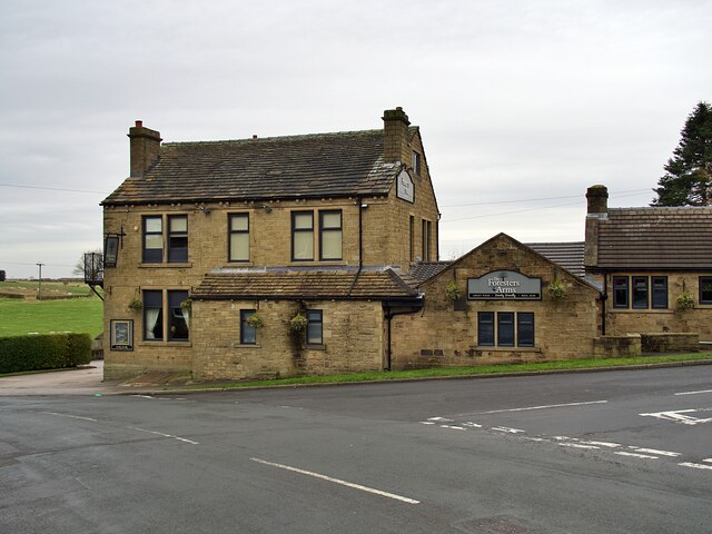
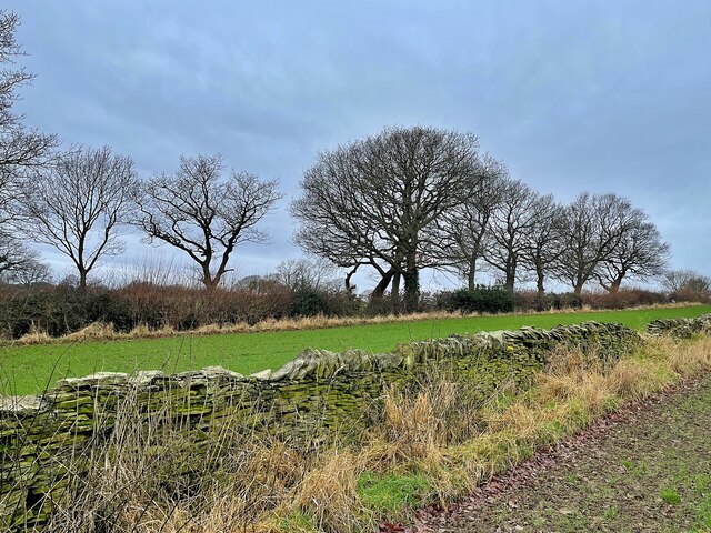
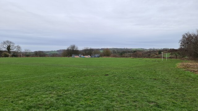
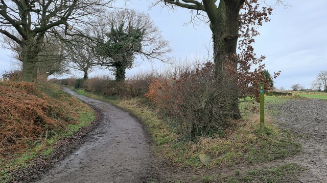
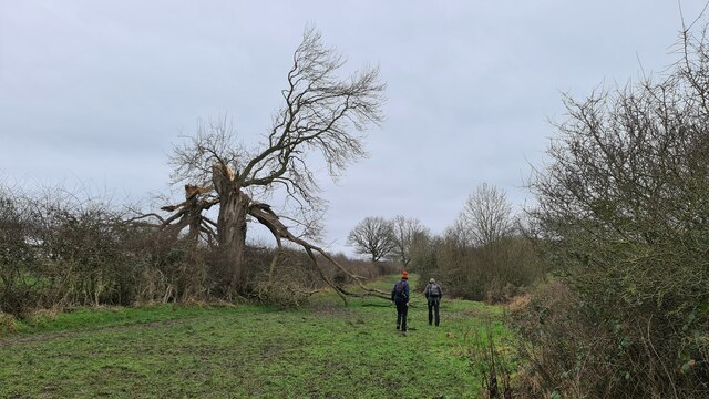
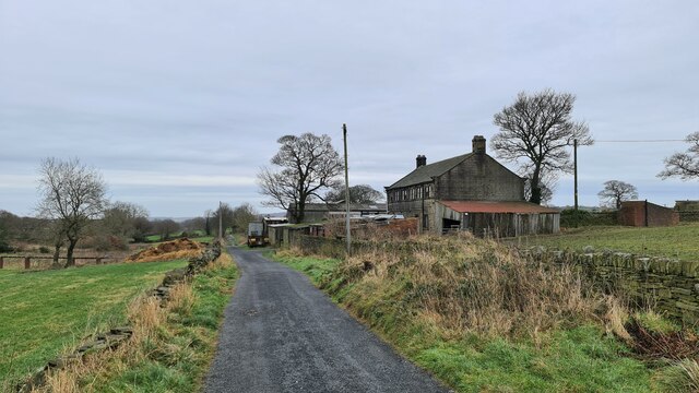
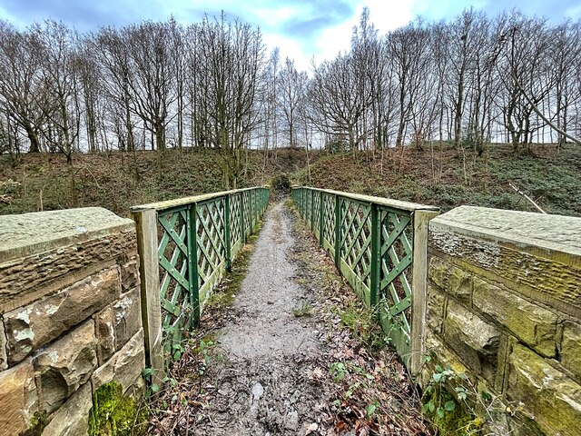
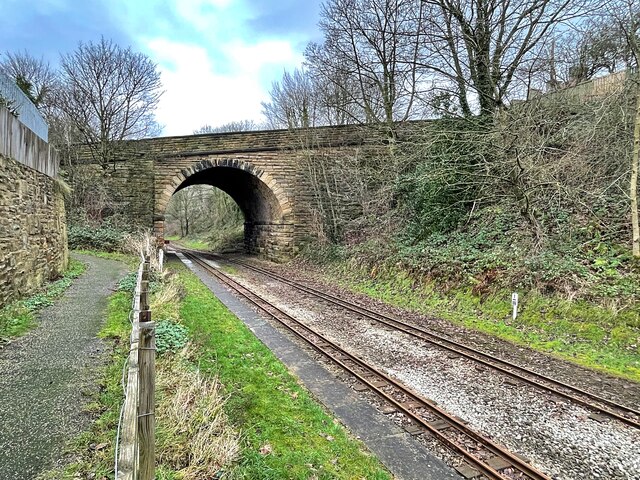
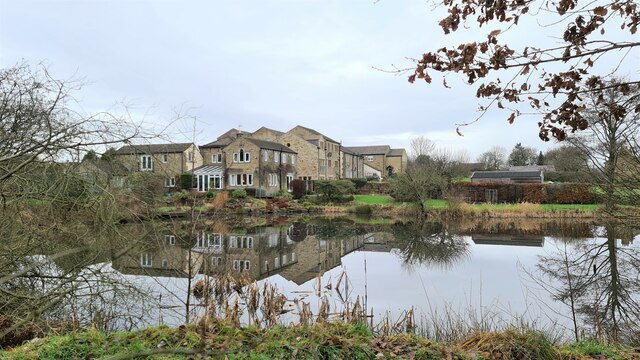
Skelmanthorpe Images
Images are sourced within 2km of 53.590991/-1.643422 or Grid Reference SE2310. Thanks to Geograph Open Source API. All images are credited.
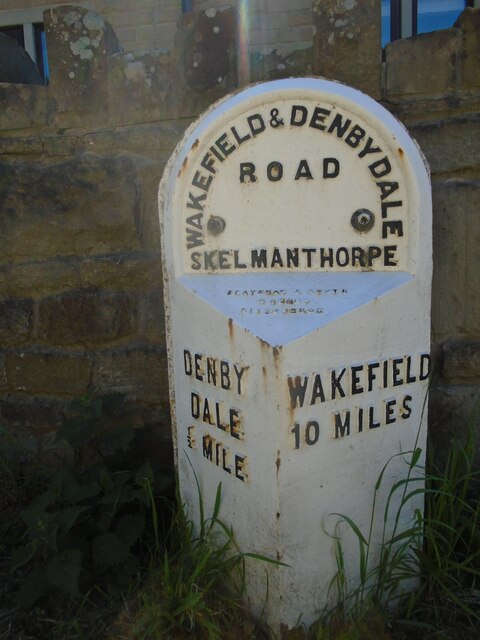

Skelmanthorpe is located at Grid Ref: SE2310 (Lat: 53.590991, Lng: -1.643422)
Division: West Riding
Unitary Authority: Kirklees
Police Authority: West Yorkshire
What 3 Words
///expires.dynasties.bats. Near Clayton West, West Yorkshire
Nearby Locations
Related Wikis
Skelmanthorpe
Skelmanthorpe is a village in the Denby Dale civil parish, in the metropolitan borough of Kirklees, in West Yorkshire, England. It is 8 miles (13 km)...

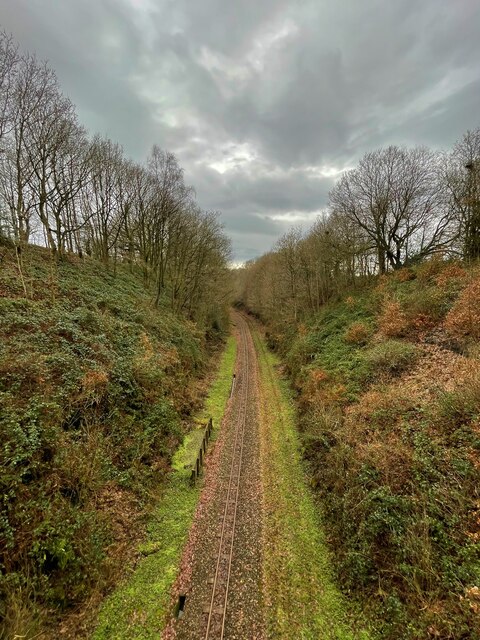
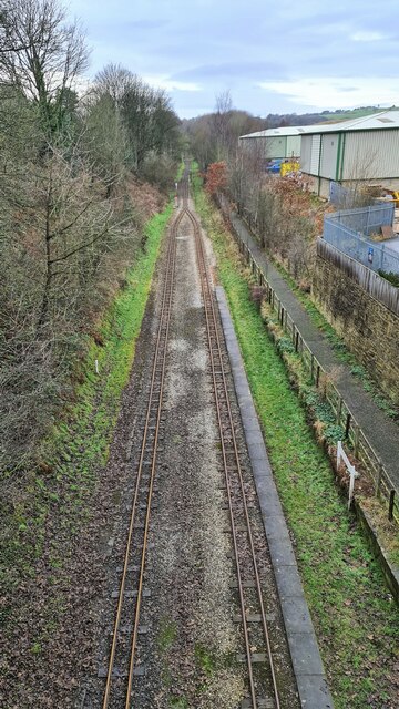
Clayton West branch line
The Clayton West branch line was a standard gauge passenger and freight railway near Huddersfield, in West Yorkshire, England. The line was built by the...

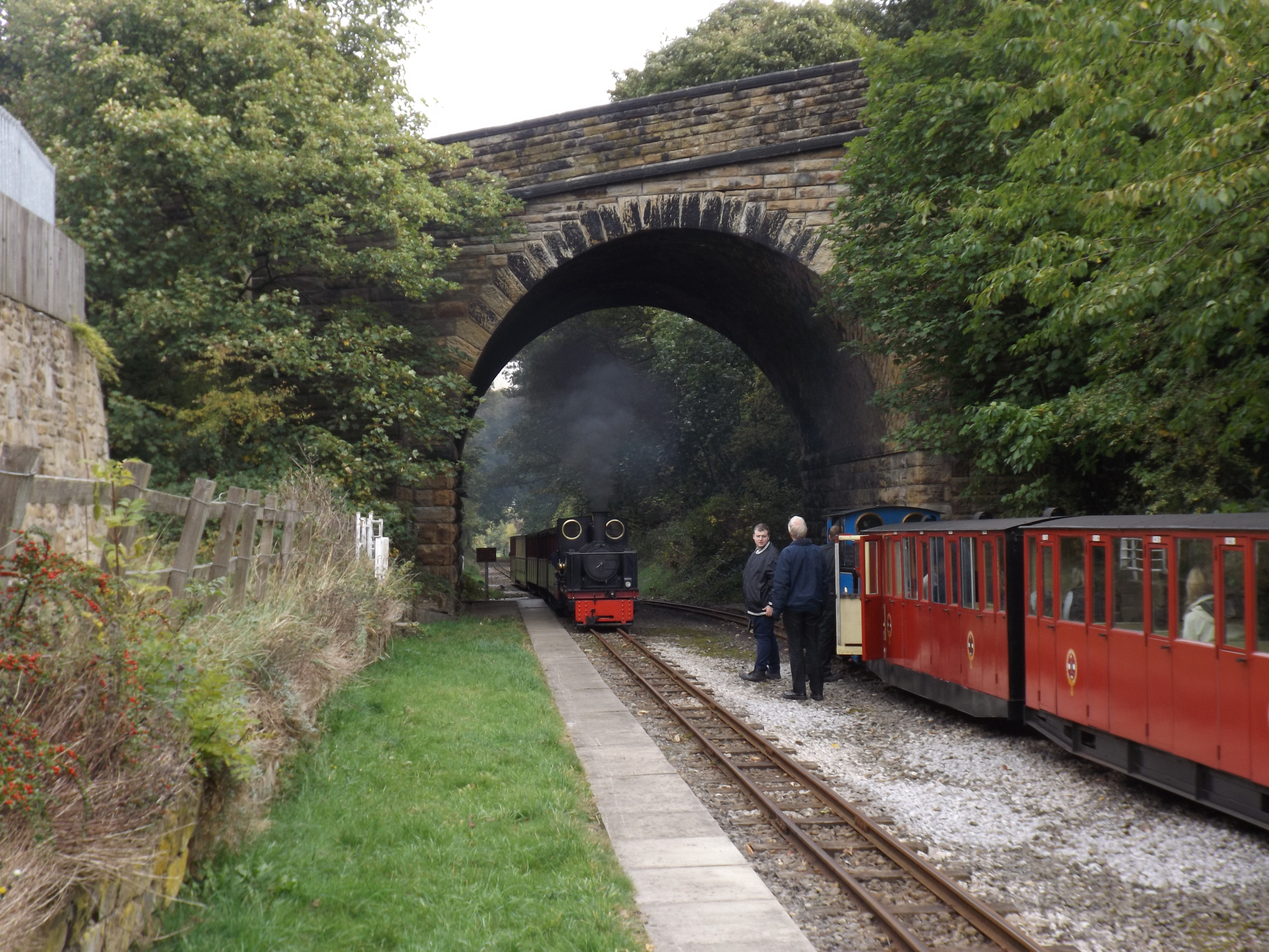
Cuckoos Nest railway station
Cuckoos Nest railway station is a station/halt on the Minimum Gauge Whistlestop Valley in West Yorkshire, Northern England. It also serves the village...
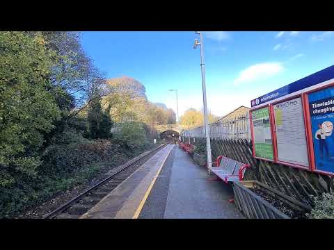
Skelmanthorpe railway station
Skelmanthorpe railway station is a station in West Yorkshire, England, that was previously part of the national rail network, and is now a station on the...
Related Videos

A walk around Denby Dale - Walks Around Britain Shorts
A quick look at a great walk around the West Yorkshire village of Denby Dale - direct from the railway station. To see the map ...

Upper Denby and Whisky tasting on a Motorhome Adventure
What's it like working shifts and living in a Van? Well after years of practice and a bit of preparation , not too bad! Going to bed ...
Return Journey // Riding the Trans Pennine Trail In Just 4 Days
It's good to get out your comfort zone and riding the Trans Pennine Trail for me was exactly that. With little to no off-road riding ...
ARRIVING AT DENBY DALE
Hello Jamie here and with another video. Arriving at Denby Dale, someone else got off with me, thats it. But that other person, got ...
Nearby Amenities
Located within 500m of 53.590991,-1.643422Have you been to Skelmanthorpe?
Leave your review of Skelmanthorpe below (or comments, questions and feedback).