Debach
Civil Parish in Suffolk East Suffolk
England
Debach

Debach is a civil parish located in the county of Suffolk, England. Situated approximately 8 miles northeast of Ipswich, Debach covers an area of about 4 square miles. The parish is bordered by the nearby villages of Clopton, Boulge, and Great Bealings.
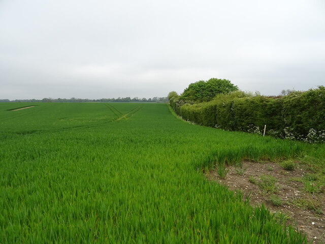
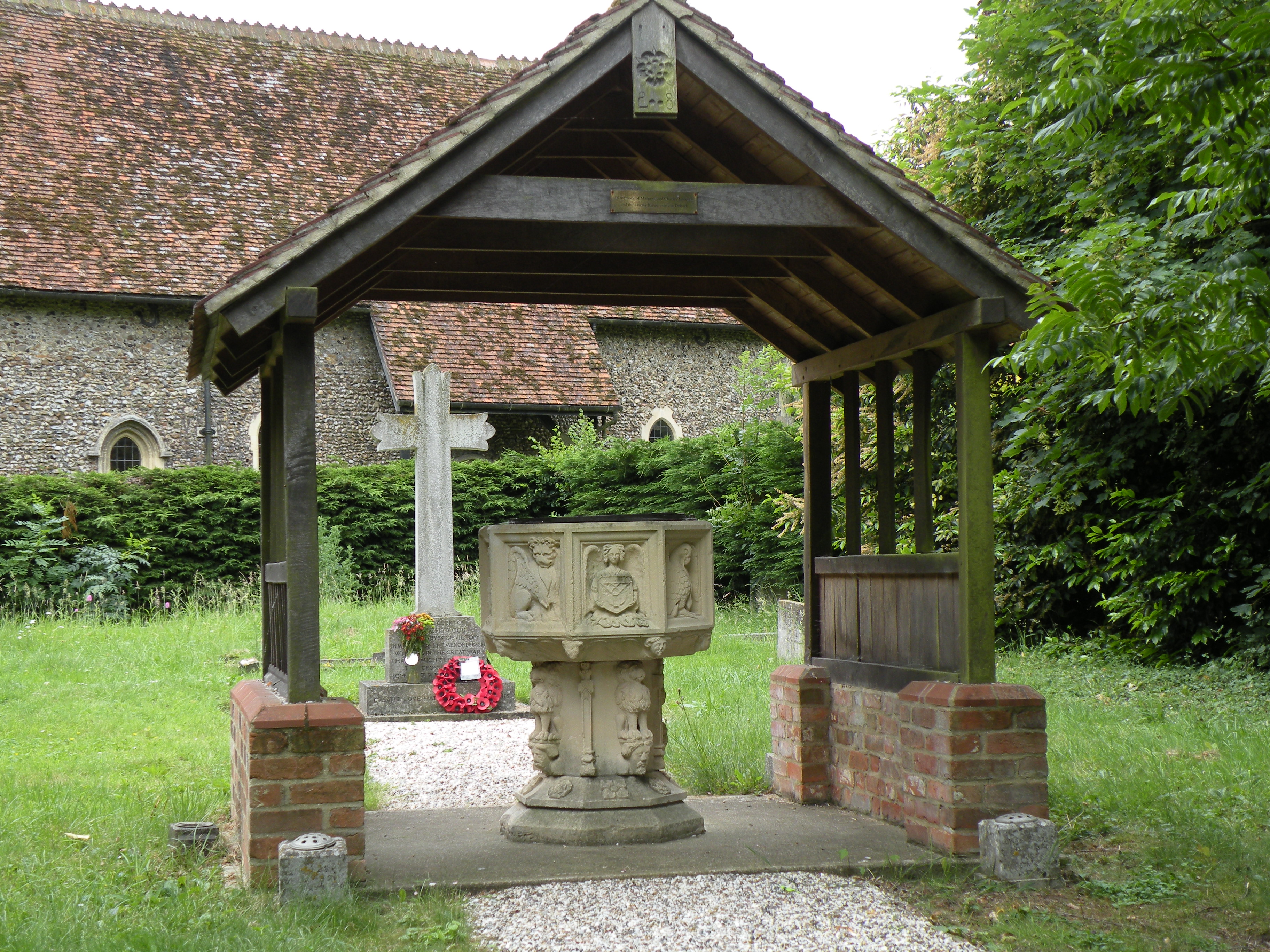
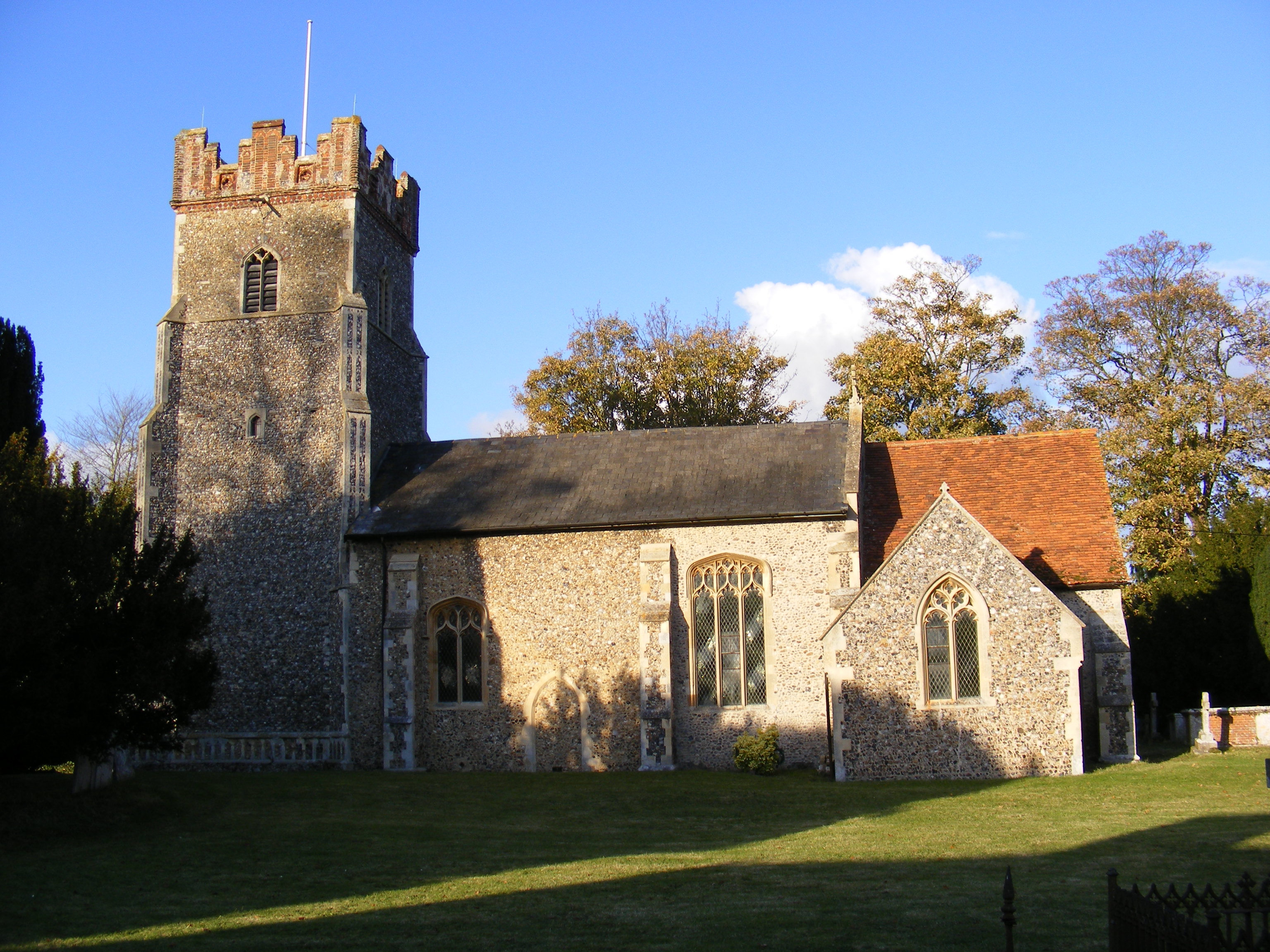
Debach is a relatively small parish with a population of around 200 residents. The area is known for its picturesque rural setting, characterized by rolling countryside, farmland, and scattered woodlands. The village itself consists of a small cluster of houses and buildings, including the notable St. Mary's Church, which dates back to the 13th century.
Historically, Debach was part of the Deben Hundred, an administrative division in Suffolk. The village has a rich history, and evidence of human settlement in the area can be traced back to prehistoric times. During the medieval period, Debach was primarily an agricultural community, with farming being the main source of livelihood for its residents.
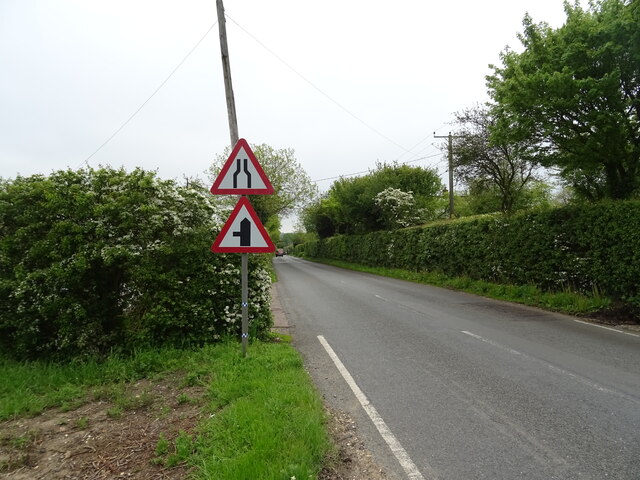
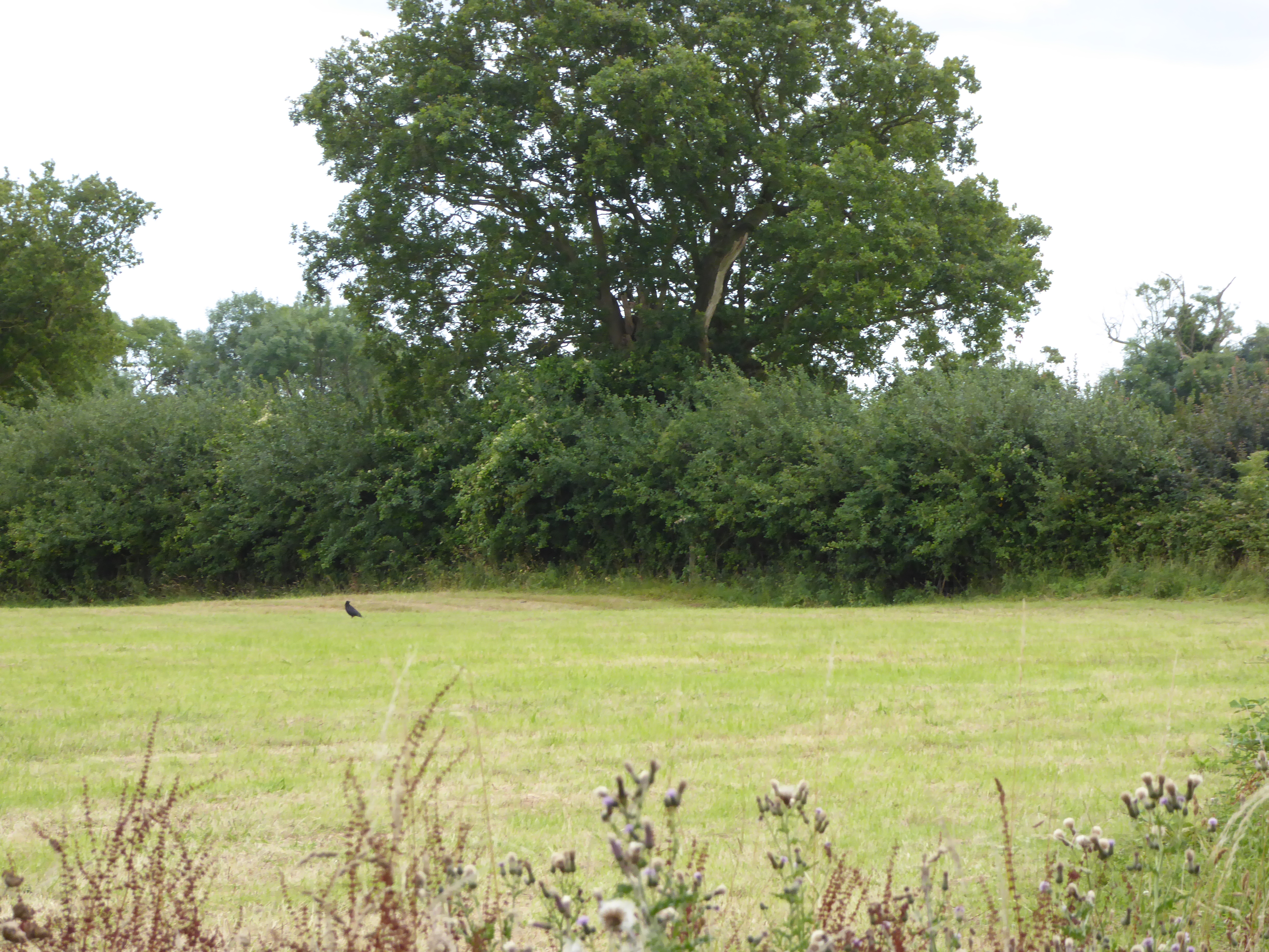
Today, Debach remains a predominantly rural area, with agriculture still playing a significant role in the local economy. The village offers a peaceful and idyllic setting, making it an attractive place for those seeking a quiet countryside lifestyle. The surrounding natural beauty also makes Debach a popular destination for outdoor enthusiasts, with ample opportunities for walking, cycling, and enjoying the scenic landscapes.
In summary, Debach is a small civil parish in Suffolk, known for its rural charm, agricultural heritage, and scenic countryside.
If you have any feedback on the listing, please let us know in the comments section below.
Debach Images
Images are sourced within 2km of 52.144824/1.28057 or Grid Reference TM2454. Thanks to Geograph Open Source API. All images are credited.


Debach is located at Grid Ref: TM2454 (Lat: 52.144824, Lng: 1.28057)
Administrative County: Suffolk
District: East Suffolk
Police Authority: Suffolk
What 3 Words
///jiffy.salaried.frizz. Near Grundisburgh, Suffolk
Related Wikis
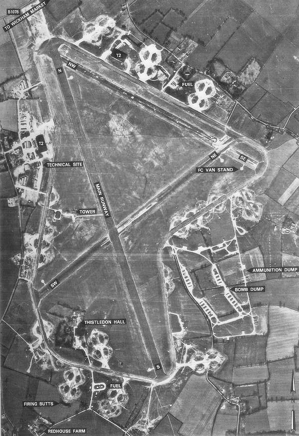
RAF Debach
Royal Air Force Debach or more simply RAF Debach is a former Royal Air Force station located at Debach, 3 miles (4.8 km) northwest of Woodbridge, Suffolk...
Debach
Debach is a small village about four miles northwest of Woodbridge, Suffolk, UK. == History == At the time of the Domesday Book, 1086, it was called Debenbeis...

Charsfield
Charsfield is a small Suffolk village of 342 residents, 3 miles (4.8 km) from Wickham Market, 7 miles (11 km) from Woodbridge and 12 miles (19 km) from...

Dallinghoo
Dallinghoo is a village about three miles (5 km) north of Woodbridge, Suffolk, England. == Location == Dallinghoo is formed from Church Road to the west...

Boulge
Boulge is a hamlet and civil parish in the East Suffolk district of Suffolk, England. It is about 3 miles (5 km) north of Woodbridge. The population remained...
Bredfield
Bredfield is a small village and civil parish in the English county of Suffolk. It is situated just off the A12, two miles north of Woodbridge. Another...
Moat Farm Meadows
Moat Farm Meadows is a 3.3-hectare (8.2-acre) biological Site of Special Scientific Interest north-east of Otley in Suffolk.These calcareous meadows are...

Martins' Meadows
Monewden Meadows is a 3.7-hectare (9.1-acre) biological Site of Special Scientific Interest south-west of Monewden in Suffolk. It is a Nature Conservation...
Nearby Amenities
Located within 500m of 52.144824,1.28057Have you been to Debach?
Leave your review of Debach below (or comments, questions and feedback).