Debach
Settlement in Suffolk East Suffolk
England
Debach

Debach is a small village located in the county of Suffolk, England. Situated approximately 5 miles east of the town of Woodbridge, it falls within the district of East Suffolk. With its picturesque countryside surroundings and close proximity to the River Deben, Debach offers a tranquil and idyllic setting for its residents.
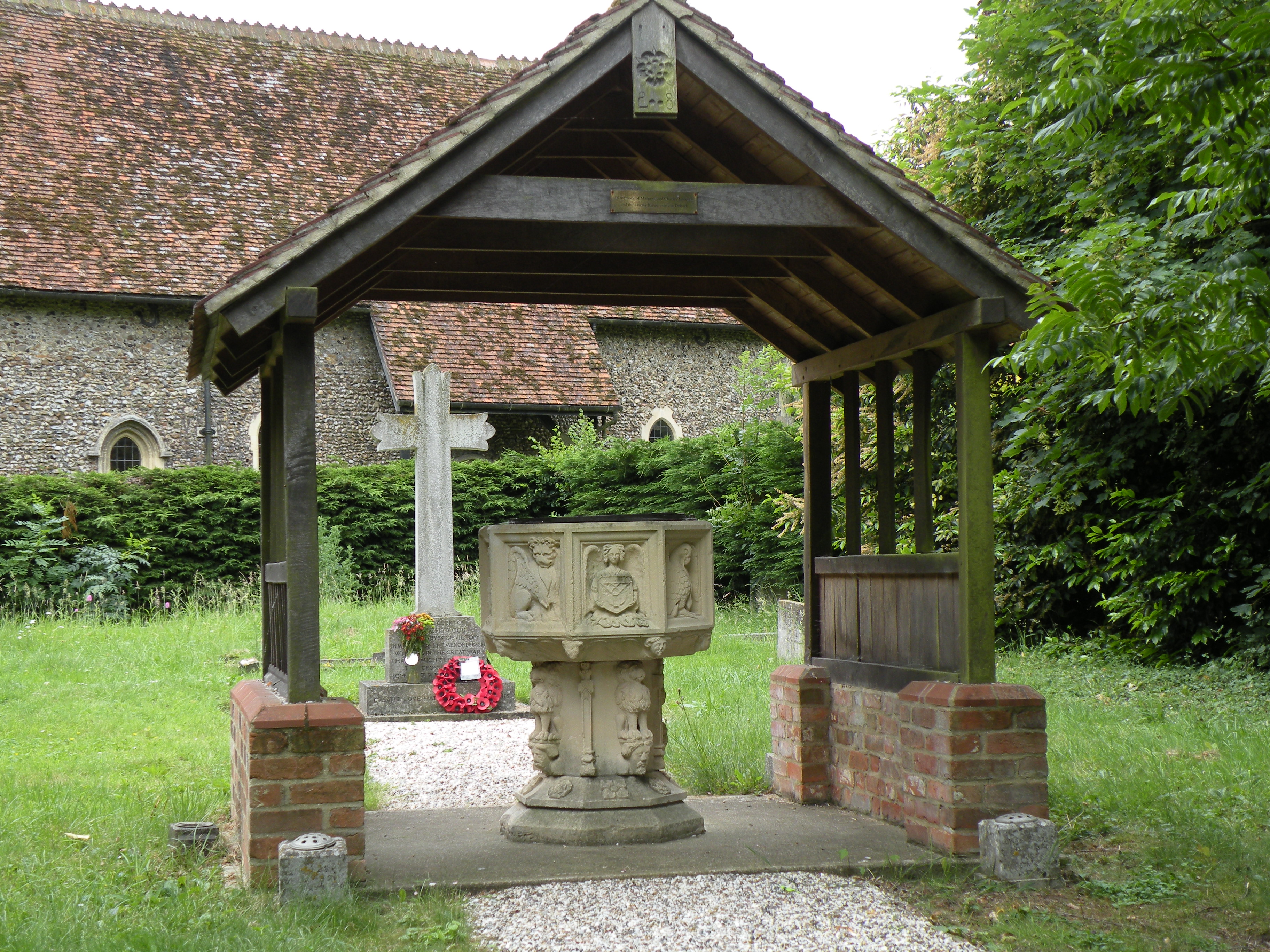
The village is home to a relatively small population, with a tight-knit community feel. Most of the houses in Debach are traditional, characterful cottages, adding to the charm of the area. The village is known for its peaceful atmosphere and friendly locals.
Despite its small size, Debach has a rich history. The nearby Debach Airfield served as a key base for the United States Army Air Forces during World War II. Today, the airfield is still in use, albeit on a smaller scale, and is primarily used for private aviation purposes.
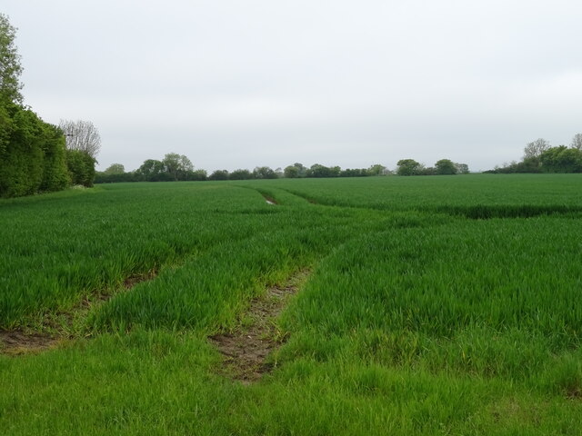
Debach is surrounded by beautiful countryside, perfect for those who enjoy outdoor activities such as walking, cycling, and horse riding. The nearby River Deben offers opportunities for boating and fishing enthusiasts. The village also benefits from its close proximity to the Suffolk Coast and Heaths Area of Outstanding Natural Beauty, providing residents with access to stunning coastal landscapes and wildlife.
While Debach may lack some amenities typically found in larger towns or cities, the nearby town of Woodbridge offers a range of shops, schools, and other essential services. Additionally, the village benefits from good transport links, with easy access to major roads and nearby train stations.
In summary, Debach is a peaceful and charming village in Suffolk, offering a picturesque countryside setting, a close-knit community, and easy access to nearby amenities and natural beauty.
If you have any feedback on the listing, please let us know in the comments section below.
Debach Images
Images are sourced within 2km of 52.140388/1.279283 or Grid Reference TM2454. Thanks to Geograph Open Source API. All images are credited.


Debach is located at Grid Ref: TM2454 (Lat: 52.140388, Lng: 1.279283)
Administrative County: Suffolk
District: East Suffolk
Police Authority: Suffolk
What 3 Words
///clever.opposites.debut. Near Grundisburgh, Suffolk
Related Wikis
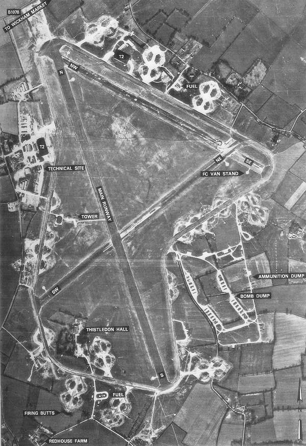
RAF Debach
Royal Air Force Debach or more simply RAF Debach is a former Royal Air Force station located at Debach, 3 miles (4.8 km) northwest of Woodbridge, Suffolk...
Debach
Debach is a small village about four miles northwest of Woodbridge, Suffolk, UK. == History == At the time of the Domesday Book, 1086, it was called Debenbeis...

Dallinghoo Wield
Dallinghoo Wield is a former civil parish 1 mile (1.6 km) from Dallinghoo village, now in the parish of Dallinghoo, in the East Suffolk district, in the...

Boulge
Boulge is a hamlet and civil parish in the East Suffolk district of Suffolk, England. It is about 3 miles (5 km) north of Woodbridge. The population remained...
Nearby Amenities
Located within 500m of 52.140388,1.279283Have you been to Debach?
Leave your review of Debach below (or comments, questions and feedback).