Debden

Civil Parish in Essex Uttlesford

England

Debden

Country Lane near Debden Green, Essex This lane leads up to Monk's Farm.
Country Lane near Debden Green, Essex Credit: Robert Edwards

Debden is a civil parish located in the district of Uttlesford in the county of Essex, England. It is situated approximately 30 miles northeast of London and is part of the larger Debden urban area, which includes Debden, Loughton, and Theydon Bois. The civil parish covers an area of around 4.5 square miles and has a population of roughly 4,500 residents.

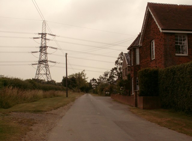
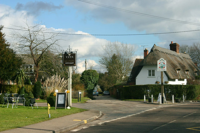
Debden is primarily a residential area, with a mix of housing types ranging from modern developments to historic properties. The town offers a range of amenities and services to its residents, including shops, schools, and recreational facilities. It is also well-connected to other parts of Essex and London, with good transport links provided by the M11 motorway and the Central Line of the London Underground.

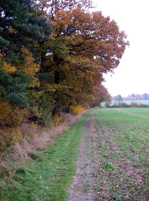
The area is known for its natural beauty, with several parks and green spaces nearby. Epping Forest, a large ancient woodland, is just a short distance away and offers opportunities for outdoor activities such as walking, cycling, and horse riding. Additionally, the nearby Roding Valley Nature Reserve provides a haven for local wildlife and is a popular spot for birdwatching.

Debden has a rich history, with archaeological evidence suggesting that the area has been inhabited since Roman times. The town has a number of historic buildings, including St. Mary's Church, which dates back to the 12th century. Overall, Debden offers a peaceful and picturesque setting for its residents, with a range of amenities and access to both urban and natural attractions.

If you have any feedback on the listing, please let us know in the comments section below.
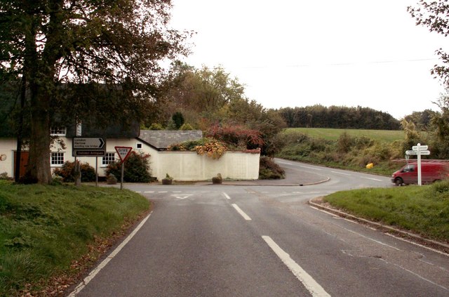
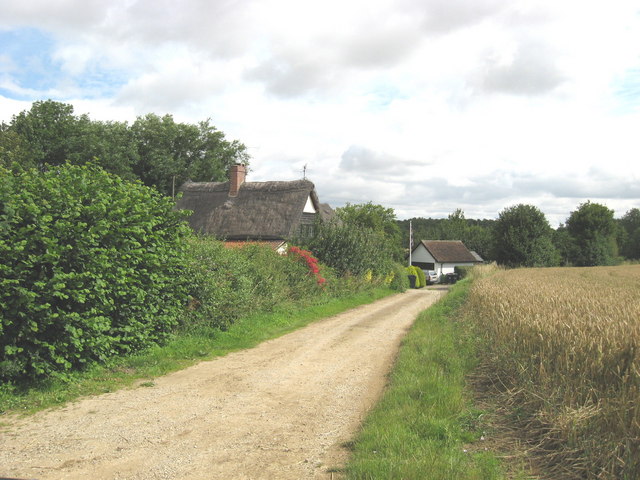
Debden Images

Images are sourced within 2km of 51.972123/0.270511 or Grid Reference TL5632. Thanks to Geograph Open Source API. All images are credited.

Country Lane near Debden Green, Essex This lane leads up to Monk's Farm.
Country Lane near Debden Green, Essex
This lane leads up to Monk's Farm.
Wieldbarns Farm, Debden Green, Essex
Smiths Green Farm, Debden, Essex
'White Hart' inn, Debden, Essex
Brick House Farm approach, near Debden, Essex
Carver Barracks nee RAF Debden This is Carver Barracks it occupies the site of the former RAF Debden. It became operational in April of 1937. It was a sector airfield of 12 Group during the Battle of Britain and was home to one of the "Eagle Squadrons" of American volunteer RAF pilots. The RAF vacated and USAAF took up residence in 1942. The base remained in RAF service until 1975. As can be guessed from the photo the 33rd Engineer Regiment now in residence are concerned with bomb disposal. To go to the next field in an alphabetical tour of Essex WW2 airfields click on <a href="https://www.geograph.org.uk/photo/149989">TL8427 : Earls Colne Airfield</a>. Much information was gleaned from Graham Smith’s book “Essex Airfields In The Second World War”.
<span class="nowrap"><a title="https://books.google.co.uk/books/about/Essex_Airfields_in_the_Second_World_War.html?id=u3atAAAACAAJ&redir_esc=y" rel="nofollow ugc noopener" href="https://books.google.co.uk/books/about/Essex_Airfields_in_the_Second_World_War.html?id=u3atAAAACAAJ&redir_esc=y">Link</a><img style="margin-left:2px;" alt="External link" title="External link - shift click to open in new window" src="https://s1.geograph.org.uk/img/external.png" width="10" height="10"/></span>
Carver Barracks nee RAF Debden
This is Carver Barracks it occupies the site of the former RAF Debden. It became operational in April of 1937. It was a sector airfield of 12 Group during the Battle of Britain and was home to one of the "Eagle Squadrons" of American volunteer RAF pilots. The RAF vacated and USAAF took up residence in 1942. The base remained in RAF service until 1975. As can be guessed from the photo the 33rd Engineer Regiment now in residence are concerned with bomb disposal. To go to the next field in an alphabetical tour of Essex WW2 airfields click on TL8427 : Earls Colne Airfield. Much information was gleaned from Graham Smith’s book “Essex Airfields In The Second World War”. LinkExternal link
Junction where Debden Road meets Water Lane
Sampson's Lane - Rook End A byway open to all traffic running from Rook End to Hamperden End. Recently cleared by Essex Land Rover Club and resurfaced by Essex County Council.
Sampson's Lane - Rook End
A byway open to all traffic running from Rook End to Hamperden End. Recently cleared by Essex Land Rover Club and resurfaced by Essex County Council.
Debden Radar A site chosen to dominate the local landscape - and it does!
Debden Radar
A site chosen to dominate the local landscape - and it does!
Rowney wood - the centre Eight radially arranged rides meet at this point beside a pond.
Rowney wood - the centre
Eight radially arranged rides meet at this point beside a pond.
Where arable and woodland meet. This edge of Rowney wood is deceptive, though the trees are old, this area of the wood is secondary woodland (most of the rest is ancient).
Where arable and woodland meet.
This edge of Rowney wood is deceptive, though the trees are old, this area of the wood is secondary woodland (most of the rest is ancient).
Menorahesque Some tree
Menorahesque
Some tree
Rook End Cottages at Rook End, near Debden, Essex
Rook End
Cottages at Rook End, near Debden, Essex
Pylon over Littley Wood East and Grove Spring The edge of nearer wood (Littley Wood East) is hard to make out: it is just about in line with the pylon
Pylon over Littley Wood East and Grove Spring
The edge of nearer wood (Littley Wood East) is hard to make out: it is just about in line with the pylon
The churchyard at St Mary the Virgin & All Saints, Debden
St. Mary the Virgin and All Saints church, Debden
Open countryside near Debden Taken from the Harcamlow Way footpath
Open countryside near Debden
Taken from the Harcamlow Way footpath
Debden
Debden
Show me another place!

Debden is located at Grid Ref: TL5632 (Lat: 51.972123, Lng: 0.270511)

Administrative County: Essex

District: Uttlesford

Police Authority: Essex

What 3 Words

///trip.grief.craftsman. Near Thaxted, Essex

Nearby Locations

Debden

Related Wikis

Debden, Uttlesford

Debden is a small rural village in the Uttlesford district of Essex in the East of England. It is located 4 miles (6 km) from Saffron Walden and 17 miles...

Debden Windmill

Debden Windmill is a grade II listed Tower mill at Debden, Essex, England which has been converted to residential use. == History == Debden Windmill was...

Rook End

Rook End is a hamlet near the village of Widdington, in the Uttlesford district, in the county of Essex, England. Rook End contains three listed buildings...

Debden Hall, Uttlesford

There was another Debden Hall in Essex, in Epping ForestDebden Hall was a country house in the north-west of the county of Essex, in England. It was demolished...

Nearby Amenities

Located within 500m of 51.972123,0.270511
Bus Stop
Rook End Lane
Bus: yes
Naptan AtcoCode: 150018021009
Naptan Bearing: NW
Naptan BusStopType: CUS
Naptan CommonName: Rook End Lane
Naptan Crossing: Rook End Lane
Naptan Indicator: Adj
Naptan Landmark: Rook End Lane
Naptan NaptanCode: esxdapga
Naptan Street: Thaxted Road
Naptan Verified: no
Public Transport: platform
Source: naptan_import
Lat/Long: 51.9739544/0.269293
Bus Stop
Highfields
Bus: yes
Naptan AtcoCode: 150018021010
Naptan Bearing: N
Naptan BusStopType: CUS
Naptan CommonName: Highfields
Naptan Crossing: Highfields
Naptan Indicator: Adj
Naptan Landmark: Highfields
Naptan NaptanCode: esxdgawd
Naptan Street: Thaxted Road
Naptan Verified: no
Public Transport: platform
Source: naptan_import
Lat/Long: 51.9757652/0.2681905
Bus Stop
Highfields
Bus: yes
Naptan AtcoCode: 1500180210Y0
Naptan Bearing: S
Naptan BusStopType: CUS
Naptan CommonName: Highfields
Naptan Crossing: Highfields
Naptan Indicator: Opp
Naptan Landmark: Highfields
Naptan NaptanCode: esxgtapw
Naptan Street: Thaxted Road
Naptan Verified: no
Public Transport: platform
Source: naptan_import
Lat/Long: 51.9757814/0.2682787
Bus Stop
Rook End Lane
Bus: yes
Naptan AtcoCode: 1500180210Y9
Naptan Bearing: SE
Naptan BusStopType: CUS
Naptan CommonName: Rook End Lane
Naptan Crossing: Rook End Lane
Naptan Indicator: Opp
Naptan Landmark: Rook End Lane
Naptan NaptanCode: esxgtata
Naptan Street: Thaxted Road
Naptan Verified: no
Public Transport: platform
Source: naptan_import
Lat/Long: 51.9739707/0.2693812
Post Box
Brand: Royal Mail
Brand Wikidata: Q638098
Brand Wikipedia: en:Royal Mail
Collection Times: Mo-Fr 09:00; Sa 07:00
Operator: Royal Mail
Operator Wikidata: Q638098
Post Box Type: lamp
Ref: CB11 45
Royal Cypher: EIIR
Royal Cypher Wikidata: Q33102113
Source: survey
Lat/Long: 51.9741718/0.2693226
Booth: K6
Covered: booth
Disused Amenity: telephone
Man Made: telephone_box
Lat/Long: 51.9760175/0.268035
The data included in this document is from www.openstreetmap.org. The data is made available under ODbL.

Have you been to Debden?

Leave your review of Debden below (or comments, questions and feedback).