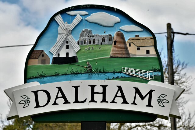
Dalham
Civil Parish in Suffolk West Suffolk
England
Dalham
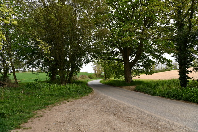
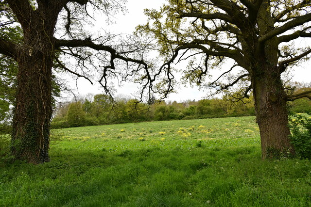
Dalham is a civil parish located in the county of Suffolk, England. It is situated about 9 miles northeast of the town of Newmarket and covers an area of approximately 3.5 square miles. The parish is predominantly rural, characterized by picturesque countryside and agricultural land.
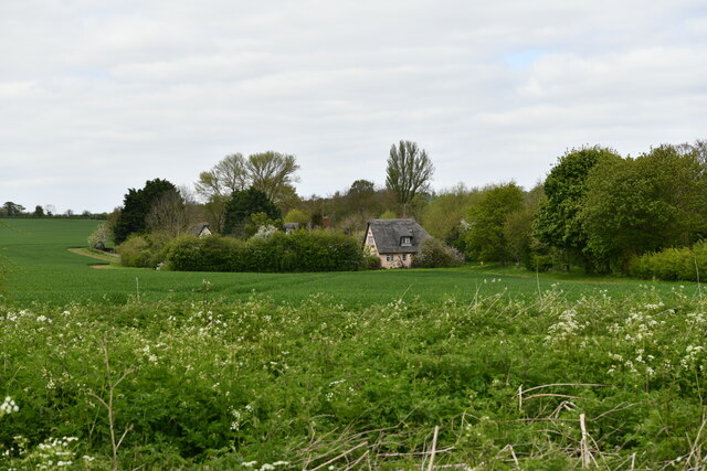
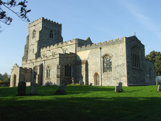
The village of Dalham itself is a small and charming settlement with a population of around 200 residents. It is known for its quaint and traditional English village atmosphere, with a scattering of historic cottages and buildings. The centerpiece of the village is the St. Mary's Church, which dates back to the 13th century and features an impressive tower and stained glass windows.
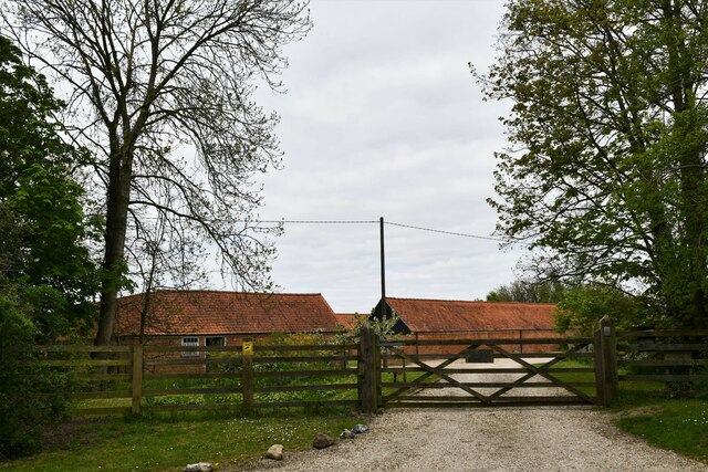
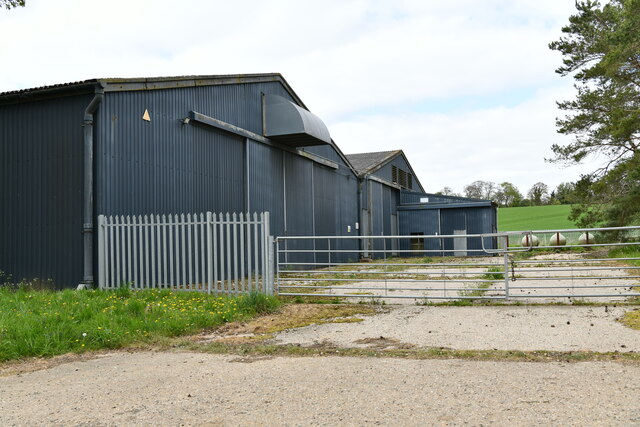
The economy of Dalham is primarily centered around agriculture, with many farms and estates dotting the landscape. The fertile soil and favorable climate make it an ideal location for cultivating crops and rearing livestock. The village is surrounded by open fields and pastures, offering stunning views of the Suffolk countryside.
Dalham is also renowned for its horse racing connections. The village is home to the prestigious Dalham Hall Stud, which is owned by Godolphin, a prominent thoroughbred racing and breeding operation. The stud has produced numerous champion racehorses over the years and adds to the area's equestrian heritage.
Overall, Dalham is a delightful and tranquil civil parish that offers a peaceful retreat for both residents and visitors. Its idyllic setting, rich history, and strong ties to agriculture and horse racing make it a unique and charming destination in Suffolk.
If you have any feedback on the listing, please let us know in the comments section below.
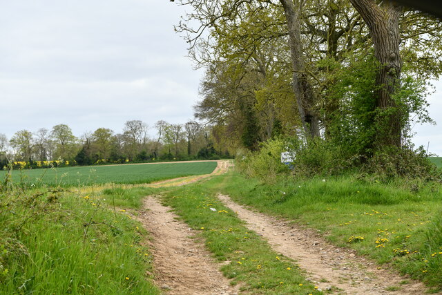
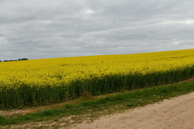
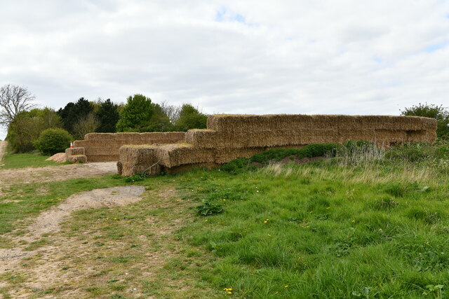
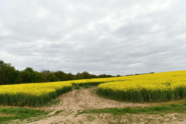
Dalham Images
Images are sourced within 2km of 52.226699/0.529539 or Grid Reference TL7261. Thanks to Geograph Open Source API. All images are credited.


Dalham is located at Grid Ref: TL7261 (Lat: 52.226699, Lng: 0.529539)
Administrative County: Suffolk
District: West Suffolk
Police Authority: Suffolk
What 3 Words
///touched.squish.strutting. Near Newmarket, Suffolk
Nearby Locations
Related Wikis
Dalham
Dalham is a village and civil parish in the West Suffolk district of Suffolk, England. The name, meaning 'homestead/village in a valley' is of Old English...
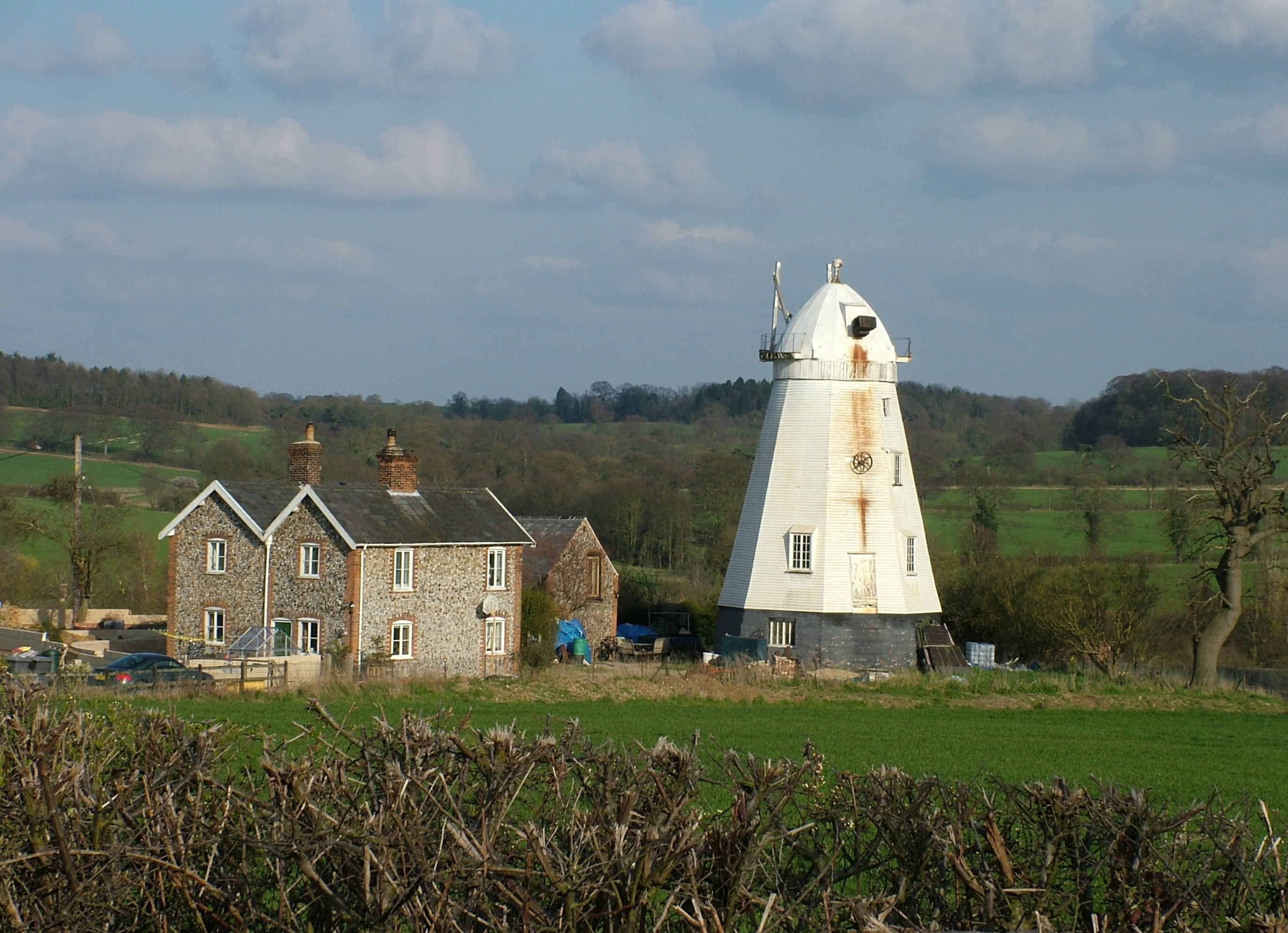
Lower Mill, Dalham
Lower Mill or Opposition Mill is a Grade II* listed smock mill at Dalham, Suffolk, England which has been preserved. == History == Lower Mill or Opposition...

Dalham Hall
Dalham Hall is a country house and 3,300-acre (13 km2) estate, located in the village of Dalham, Suffolk, near Newmarket, and 13 kilometres (8 mi) west...

Desning Hall
Desning Hall was a manor house in Risbridge Hundred, in Suffolk, England, dating from Anglo-Saxon times. Desning Hall's last resident was Sidney Arthur...

Denham Castle
Denham Castle, also known as Castle Holes, is a medieval motte and bailey castle near the village of Gazeley, Suffolk, England. The castle was also known...

Gazeley
Gazeley is a village and civil parish in the West Suffolk district of Suffolk in eastern England and is part of the West Suffolk UK Parliament constituency...

Moulton Rural District
Moulton was a rural district in Suffolk, England from 1894 to 1935. It covered the area to the east of the town of Newmarket. The district was created...

Ousden
Ousden is a village and civil parish in the West Suffolk district of Suffolk in eastern England. It is located around six miles west of Bury St Edmunds...
Nearby Amenities
Located within 500m of 52.226699,0.529539Have you been to Dalham?
Leave your review of Dalham below (or comments, questions and feedback).