Chapelfield Belt
Wood, Forest in Suffolk West Suffolk
England
Chapelfield Belt
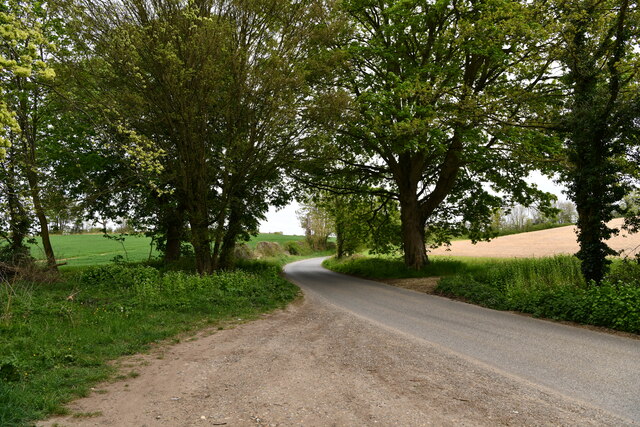
Chapelfield Belt, located in Suffolk, England, is a picturesque wood or forest spanning approximately 200 acres. Situated near the village of Chapelfield, this natural haven offers a serene and tranquil escape from the hustle and bustle of everyday life.
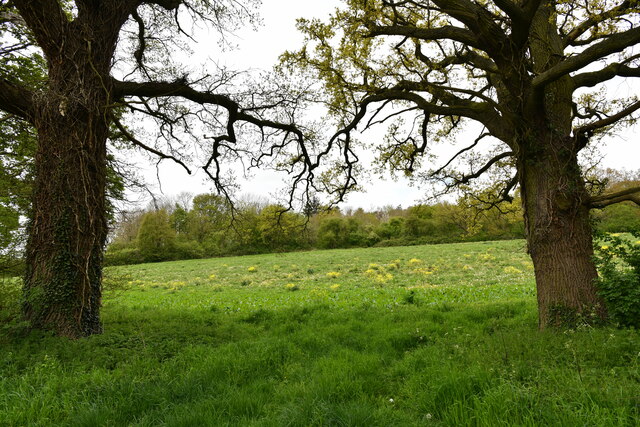
The woodland is primarily composed of native tree species such as oak, birch, and beech, which create a dense canopy overhead. The forest floor is carpeted with a rich diversity of flora, including bluebells, wild garlic, and ferns, which add to the enchanting ambiance of the area. The presence of these plants also attracts a variety of wildlife, making Chapelfield Belt a popular spot for nature enthusiasts and birdwatchers.
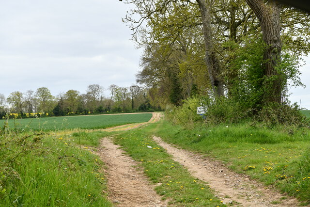
Visitors to Chapelfield Belt can explore the woodland through a network of well-maintained footpaths, allowing for leisurely strolls or more vigorous hikes. These paths meander through the forest, leading visitors past babbling brooks, ancient trees, and secluded clearings. Along the way, interpretive signs provide information about the local flora and fauna, enhancing the educational experience.
Chapelfield Belt is also home to several picnic areas, providing an opportunity for visitors to relax and enjoy a meal amidst the natural beauty. Additionally, the forest offers various recreational activities such as orienteering and geocaching, adding an element of adventure and fun for visitors of all ages.
Overall, Chapelfield Belt in Suffolk is a captivating woodland, offering a peaceful retreat and a chance to reconnect with nature. Its diverse ecosystem, well-maintained trails, and recreational opportunities make it a must-visit destination for nature lovers and those seeking a break from urban life.
If you have any feedback on the listing, please let us know in the comments section below.
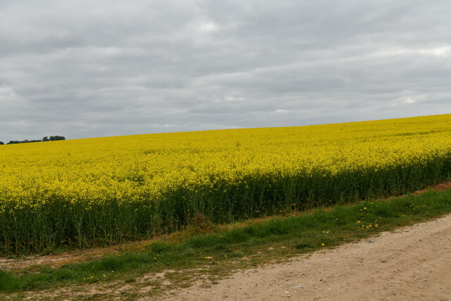
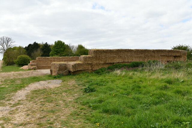
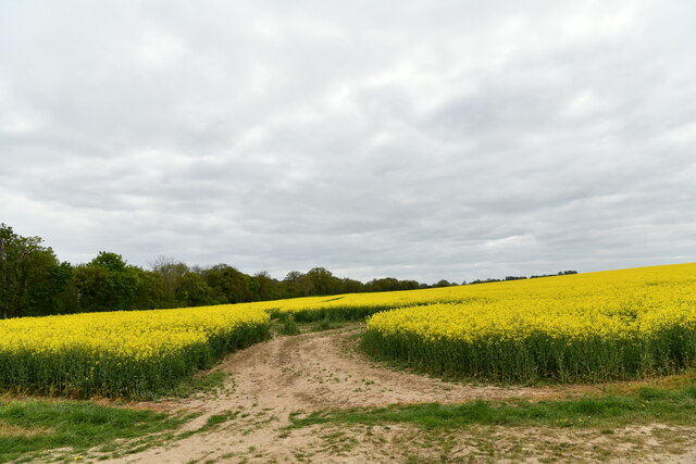
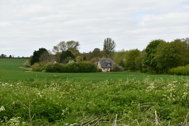
Chapelfield Belt Images
Images are sourced within 2km of 52.228217/0.52769642 or Grid Reference TL7261. Thanks to Geograph Open Source API. All images are credited.


Chapelfield Belt is located at Grid Ref: TL7261 (Lat: 52.228217, Lng: 0.52769642)
Administrative County: Suffolk
District: West Suffolk
Police Authority: Suffolk
What 3 Words
///february.aspect.repayment. Near Newmarket, Suffolk
Nearby Locations
Related Wikis
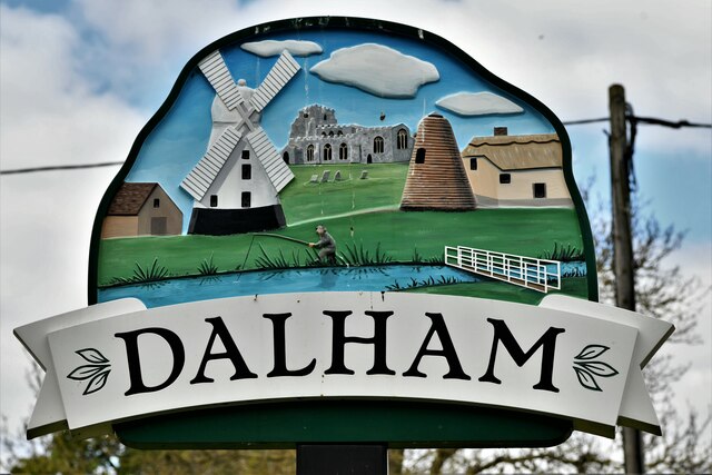
Dalham
Dalham is a village and civil parish in the West Suffolk district of Suffolk, England. The name, meaning 'homestead/village in a valley' is of Old English...
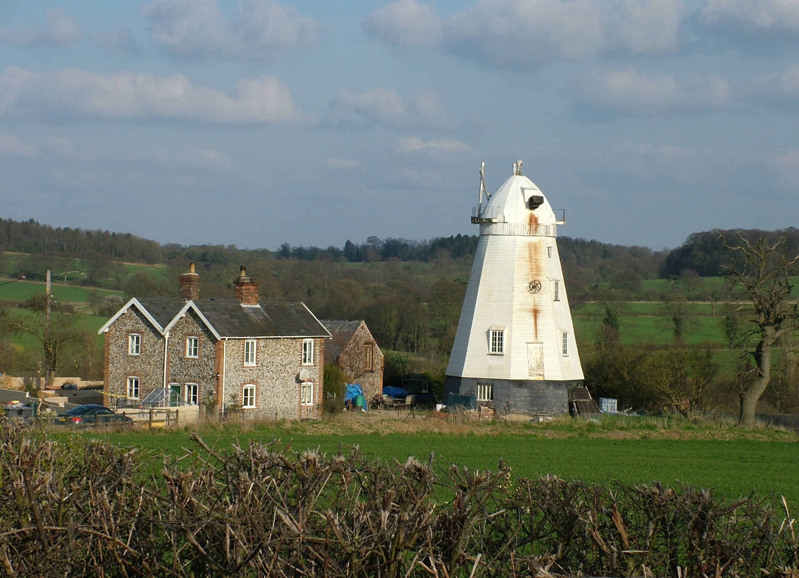
Lower Mill, Dalham
Lower Mill or Opposition Mill is a Grade II* listed smock mill at Dalham, Suffolk, England which has been preserved. == History == Lower Mill or Opposition...

Dalham Hall
Dalham Hall is a country house and 3,300-acre (13 km2) estate, located in the village of Dalham, Suffolk, near Newmarket, and 13 kilometres (8 mi) west...

Desning Hall
Desning Hall was a manor house in Risbridge Hundred, in Suffolk, England, dating from Anglo-Saxon times. Desning Hall's last resident was Sidney Arthur...

Denham Castle
Denham Castle, also known as Castle Holes, is a medieval motte and bailey castle near the village of Gazeley, Suffolk, England. The castle was also known...

Gazeley
Gazeley is a village and civil parish in the West Suffolk district of Suffolk in eastern England and is part of the West Suffolk UK Parliament constituency...

Moulton Rural District
Moulton was a rural district in Suffolk, England from 1894 to 1935. It covered the area to the east of the town of Newmarket. The district was created...

Ousden
Ousden is a village and civil parish in the West Suffolk district of Suffolk in eastern England. It is located around six miles west of Bury St Edmunds...
Nearby Amenities
Located within 500m of 52.228217,0.52769642Have you been to Chapelfield Belt?
Leave your review of Chapelfield Belt below (or comments, questions and feedback).