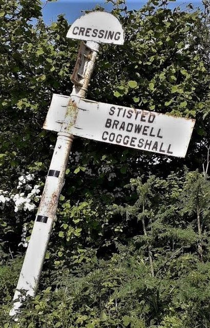
Cressing
Civil Parish in Essex Braintree
England
Cressing
Cressing is a civil parish located in the county of Essex, England. It is situated approximately 50 miles northeast of London and covers an area of around 6 square miles. The parish is primarily rural, with a population of around 2,500 people.
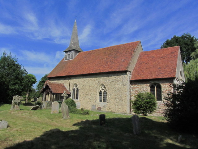
The village of Cressing itself is located near the River Brain and is known for its historical significance. It boasts two notable landmarks, Cressing Temple and Cressing Temple Barns. Cressing Temple is a former Templar preceptory founded in the 13th century, and it is one of the best-preserved medieval Templar sites in England. The site includes a moated manor house, a granary, and a chapel. Cressing Temple Barns, on the other hand, are medieval timber-framed barns that have been converted into event venues and are popular for weddings and other functions.
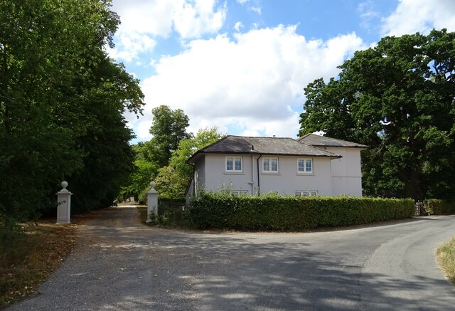
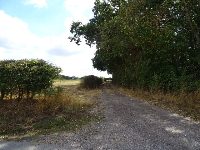
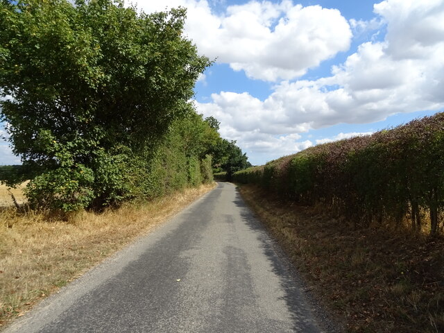
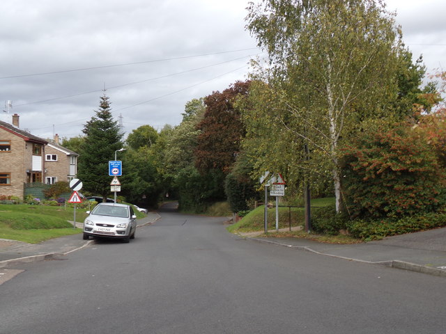
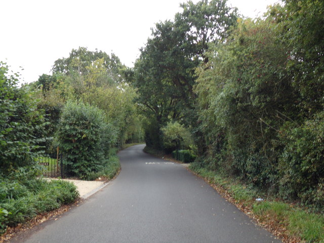
Apart from its historical attractions, Cressing offers a range of amenities to its residents. The village has a primary school, a village hall, and a local pub. It is well-connected to nearby towns and cities through regular bus services. The parish is surrounded by picturesque countryside, offering ample opportunities for outdoor activities like walking and cycling.
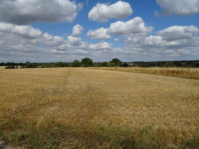
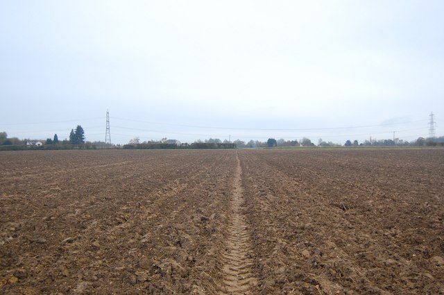
Cressing is also known for its agricultural heritage, with several farms located in the area. The fertile land supports a variety of crops and livestock, contributing to the local economy.
Overall, Cressing is a charming and historically significant civil parish in Essex, offering a blend of rural tranquility and historical interest to its residents and visitors.
If you have any feedback on the listing, please let us know in the comments section below.
Cressing Images
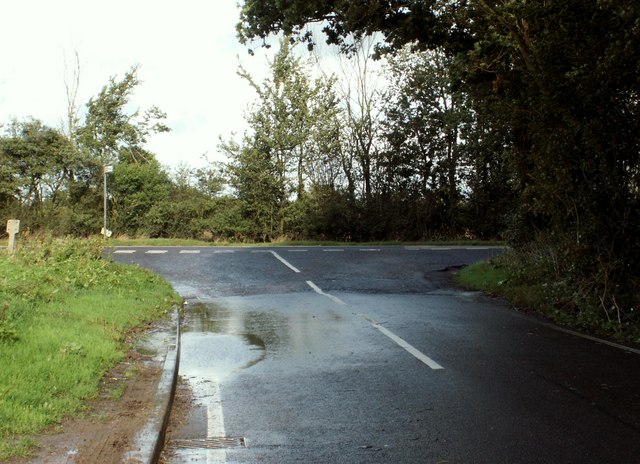
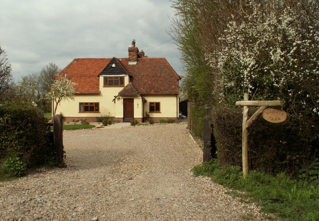
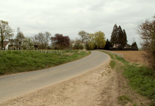
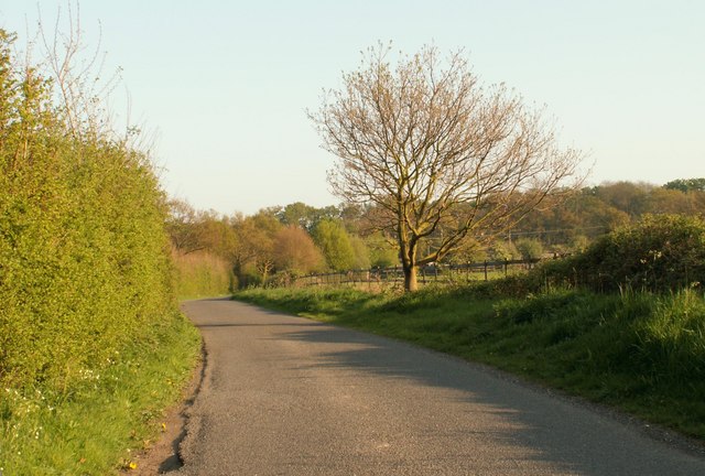
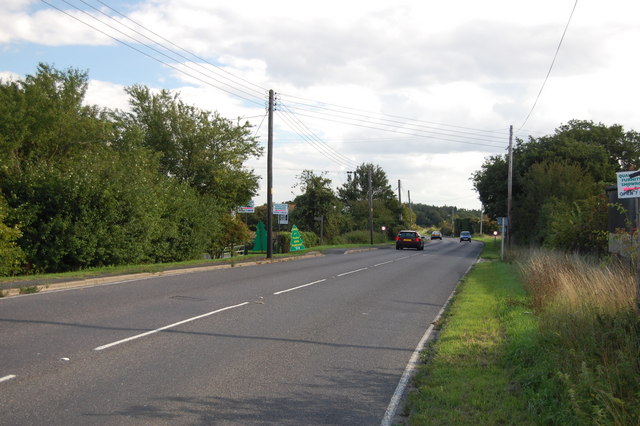
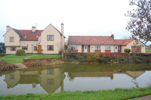
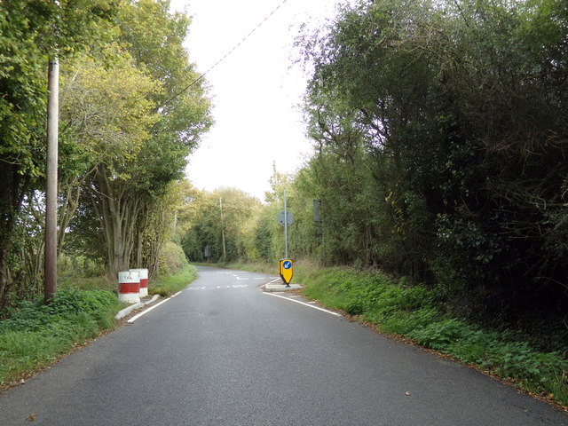
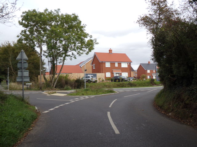
Images are sourced within 2km of 51.859937/0.596503 or Grid Reference TL7821. Thanks to Geograph Open Source API. All images are credited.
Cressing is located at Grid Ref: TL7821 (Lat: 51.859937, Lng: 0.596503)
Administrative County: Essex
District: Braintree
Police Authority: Essex
What 3 Words
///grass.sedative.goose. Near Rayne, Essex
Nearby Locations
Related Wikis

Cressing
Cressing is a village and civil parish in the Braintree district of Essex, England. Within the parish is the village of Tye Green and the hamlet of Hawbush...

Tye Green
Tye Green is a village in the civil parish of Cressing and the Braintree district of Essex, England. In 2018, it had an estimated population of 1,114....

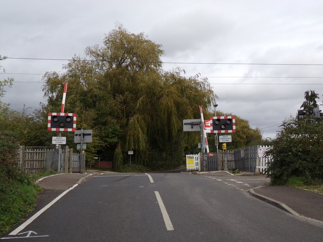
Cressing railway station
Cressing railway station is on the Braintree Branch Line in the East of England, serving the villages of Cressing and Black Notley, Essex. It is 42 miles...
Alec Hunter Academy
Alec Hunter Academy (formerly The Alec Hunter County Secondary School for Boys and Girls, Alec Hunter Comprehensive School, Alec Hunter High School and...
Nearby Amenities
Located within 500m of 51.859937,0.596503Have you been to Cressing?
Leave your review of Cressing below (or comments, questions and feedback).