Alderton
Settlement in Wiltshire
England
Alderton
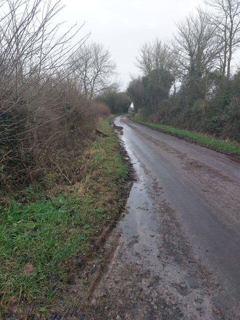
Alderton is a small village located in the county of Wiltshire, England. Situated approximately 6 miles northwest of the town of Chippenham, it falls within the North Wiltshire district. The village is surrounded by beautiful countryside, offering a peaceful and picturesque setting for its residents.
Alderton has a modest population of around 500 people, residing in a mix of traditional stone-built cottages and more modern housing developments. The village boasts a close-knit community, with various social events and activities organized throughout the year, fostering a strong sense of belonging among its residents.
The heart of Alderton revolves around its local pub, The White Hart Inn, which serves as a meeting point for locals and visitors alike. The village also features a small primary school, providing education for the children within the community.
While Alderton may be small in size, it benefits from its proximity to larger towns and cities. Chippenham, with its wider range of amenities, including shops, supermarkets, and leisure facilities, is easily accessible by car or public transport. Additionally, the village benefits from excellent transport links, with the M4 motorway just a short drive away, connecting Alderton to major cities such as Bristol and London.
In summary, Alderton offers a tranquil and tight-knit community within the idyllic Wiltshire countryside, making it an attractive place to live for those seeking a peaceful and scenic lifestyle with the convenience of nearby amenities.
If you have any feedback on the listing, please let us know in the comments section below.
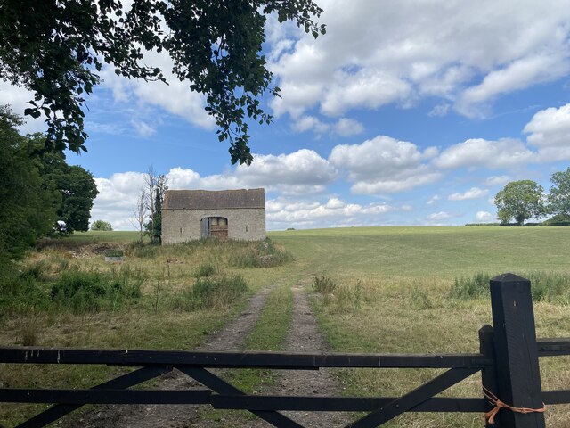
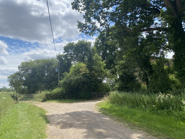
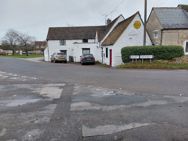
Alderton Images
Images are sourced within 2km of 51.545071/-2.234593 or Grid Reference ST8382. Thanks to Geograph Open Source API. All images are credited.
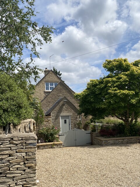
![Luckington houses [3] Whitehouse, Sherston Road, is a former farmhouse. Built in the 18th century of rendered rubble stone under a stone slate roof. There is a 19th century porch and a later rear wing. Listed, grade II, with details at: <span class="nowrap"><a title="https://historicengland.org.uk/listing/the-list/list-entry/1199810" rel="nofollow ugc noopener" href="https://historicengland.org.uk/listing/the-list/list-entry/1199810">Link</a><img style="margin-left:2px;" alt="External link" title="External link - shift click to open in new window" src="https://s1.geograph.org.uk/img/external.png" width="10" height="10"/></span>
Luckington is a village in northwest Wiltshire, close to the border with Gloucestershire, some 6½ miles southwest of Malmesbury and about 8½ miles northwest of Chippenham. The village is mentioned in the Domesday Book as Lochintone. Five roads meet at Luckington, including the former main Oxford to Bristol road via Malmesbury and Sherston.](https://s1.geograph.org.uk/geophotos/07/54/01/7540121_65938d25.jpg)
![Luckington houses [4] Rose Cottage, Sherston Road, was formerly two cottages, now one. Built circa 1800 and mid 19th century of rubble stone, with roofs partly of stone slate and partly of Bridgwater tiles. Listed, for group value, grade II, with details at: <span class="nowrap"><a title="https://historicengland.org.uk/listing/the-list/list-entry/1022380" rel="nofollow ugc noopener" href="https://historicengland.org.uk/listing/the-list/list-entry/1022380">Link</a><img style="margin-left:2px;" alt="External link" title="External link - shift click to open in new window" src="https://s1.geograph.org.uk/img/external.png" width="10" height="10"/></span>
Luckington is a village in northwest Wiltshire, close to the border with Gloucestershire, some 6½ miles southwest of Malmesbury and about 8½ miles northwest of Chippenham. The village is mentioned in the Domesday Book as Lochintone. Five roads meet at Luckington, including the former main Oxford to Bristol road via Malmesbury and Sherston.](https://s3.geograph.org.uk/geophotos/07/54/01/7540123_f1de2f74.jpg)
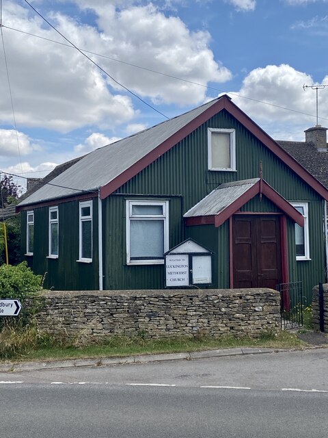
![Luckington buildings [7] This Primitive Methodist chapel was opened in 1903. Built of corrugated iron in tin tabernacle style.
Luckington is a village in northwest Wiltshire, close to the border with Gloucestershire, some 6½ miles southwest of Malmesbury and about 8½ miles northwest of Chippenham. The village is mentioned in the Domesday Book as Lochintone. Five roads meet at Luckington, including the former main Oxford to Bristol road via Malmesbury and Sherston.](https://s2.geograph.org.uk/geophotos/07/54/01/7540126_04f27934.jpg)
![Luckington buildings [8] This school was built as a National School in 1874. It later became Luckington Primary School and was renamed Luckington Community School in 2010. Constructed of rendered brick under a slate roof.
Luckington is a village in northwest Wiltshire, close to the border with Gloucestershire, some 6½ miles southwest of Malmesbury and about 8½ miles northwest of Chippenham. The village is mentioned in the Domesday Book as Lochintone. Five roads meet at Luckington, including the former main Oxford to Bristol road via Malmesbury and Sherston.](https://s2.geograph.org.uk/geophotos/07/54/01/7540130_0fc2d88c.jpg)
Alderton is located at Grid Ref: ST8382 (Lat: 51.545071, Lng: -2.234593)
Unitary Authority: Wiltshire
Police Authority: Wiltshire
What 3 Words
///bearable.cabin.reshape. Near Luckington, Wiltshire
Nearby Locations
Related Wikis
Alderton, Wiltshire
Alderton is a village and former civil parish, now in the parish of Luckington, in Wiltshire, England, 6 miles (9.7 km) southwest of Malmesbury. In 1931...

Alderton Tunnel
The Alderton Tunnel sits on the South Wales Main Line in England, on a stretch of line between Swindon and Bristol Parkway. The tunnel, which is 506 yards...

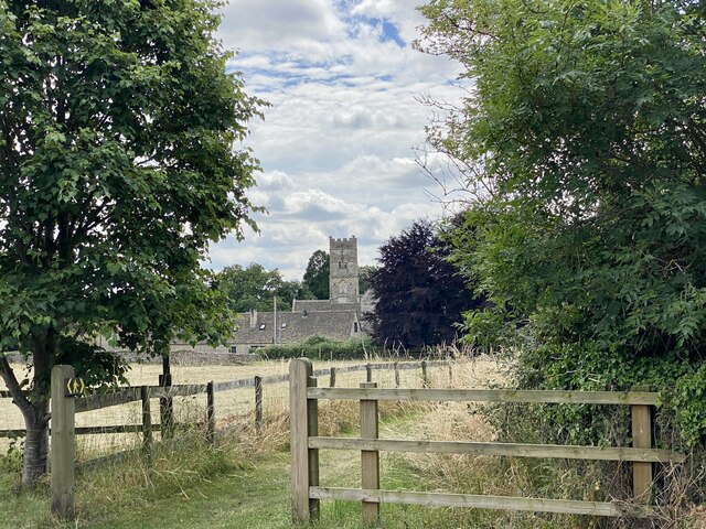
Luckington
Luckington is a village and civil parish in the southern Cotswolds, in north-west Wiltshire, England, about 6+1⁄2 miles (10 km) west of Malmesbury. The...

St Michael and All Angels Church, Badminton
St Michael and All Angels is a Grade I listed church on the estate of the Duke of Beaufort in the village of Great Badminton, Gloucestershire, England...

Badminton House
Badminton House is a large country house and Grade I Listed Building in Badminton, Gloucestershire, England, which has been the principal seat of the Dukes...

Badminton railway station
Badminton railway station is a closed railway station in Gloucestershire, England on the line between Wootton Bassett to the east, and Patchway and Filton...

Sherston, Wiltshire
Sherston is a village and civil parish about 5 miles (8 km) west of Malmesbury in Wiltshire, England. The parish is bounded to the north by the county...

Church of the Holy Cross, Sherston
The Church of the Holy Cross is the Grade I listed Anglican parish church in the village of Sherston, Wiltshire, England. It has Norman origins and contains...
Related Videos

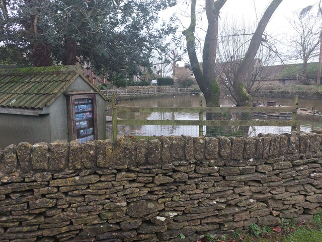
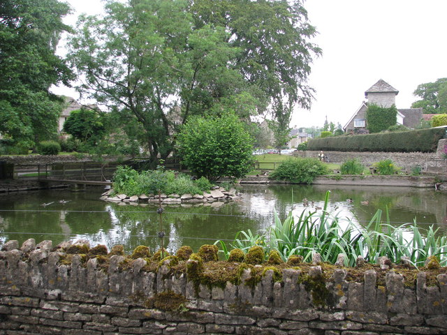
Alderton Duck Pond 🦆🦆 Exploring the White Walls Way #shorts #hikingadventures
Visiting the Duck Pond at Alderton in Wiltshire, along the White Walls Way walk. #shorts #hiking #walking #explore.
A Morning Walk in a Quiet Cotswold Village
So, today we are out and about walking in the Cotswold village and civil parish of Sopworth, which is located in northwest ...

Sources of UK rivers • River Avon (Bristol Avon) • Luckington, Wiltshire
Come with us as we look for the source of the River Avon (Bristol Avon), the UK's 19th longest river. We're very familiar with the ...
Nearby Amenities
Located within 500m of 51.545071,-2.234593Have you been to Alderton?
Leave your review of Alderton below (or comments, questions and feedback).