Alderton
Settlement in Northamptonshire
England
Alderton
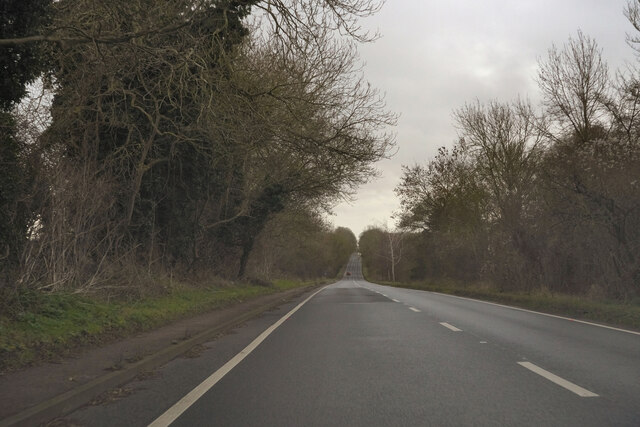
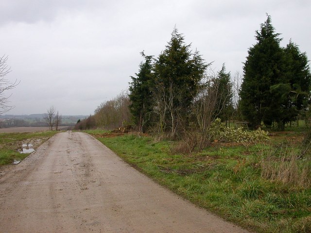
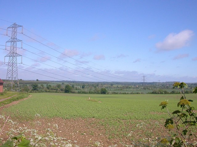
Alderton is a small village located in the county of Northamptonshire, England. Situated approximately 7 miles south of Northampton, it falls within the district of Daventry. The village is nestled within a picturesque rural landscape, surrounded by rolling hills and open countryside.
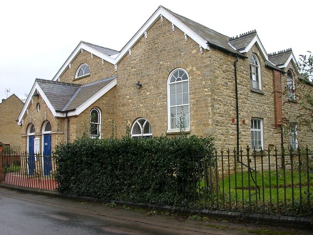
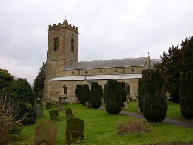
With a population of around 400 people, Alderton maintains a close-knit and friendly community atmosphere. The village is characterized by its charming old stone houses and traditional architecture, which adds to its timeless appeal. It also boasts a well-preserved church, St. Margaret's, which dates back to the 13th century and serves as a focal point for the community.
Despite its small size, Alderton offers a range of amenities to its residents. These include a village hall, which serves as a venue for various community events and gatherings, a post office, a pub, and a primary school. The village is also well-connected, with regular bus services providing easy access to neighboring towns and villages.
Alderton benefits from its proximity to the beautiful Northamptonshire countryside, making it an attractive place for outdoor enthusiasts. The surrounding area offers ample opportunities for walking, cycling, and exploring nature trails. Additionally, the village is within easy reach of popular local attractions, such as the historic Althorp Estate and the Silverstone Circuit, home to the British Grand Prix.
Overall, Alderton offers a tranquil and idyllic setting for those seeking a peaceful village lifestyle, while still providing convenient access to nearby amenities and attractions.
If you have any feedback on the listing, please let us know in the comments section below.
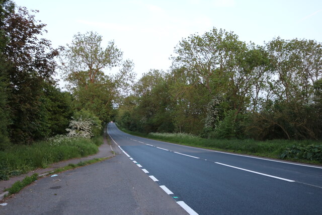
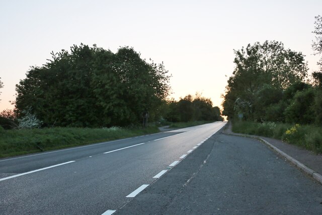
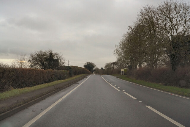
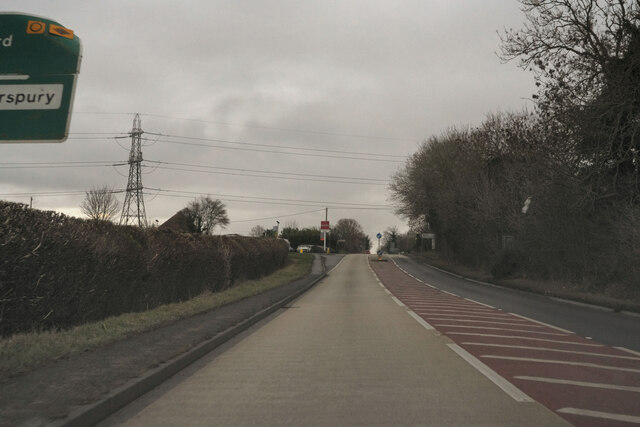
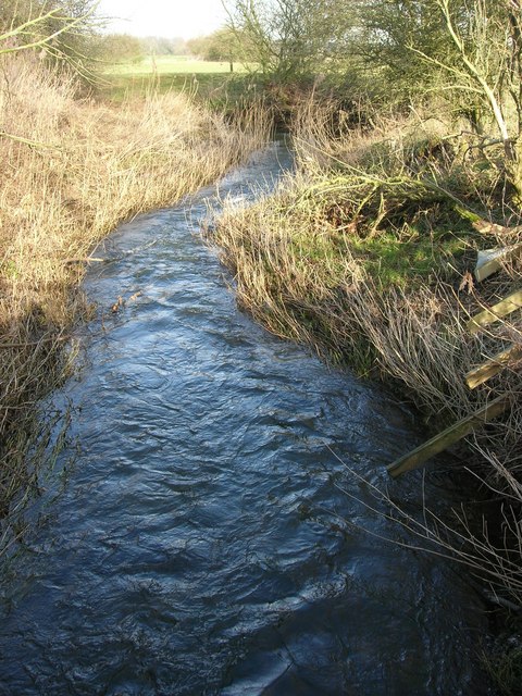
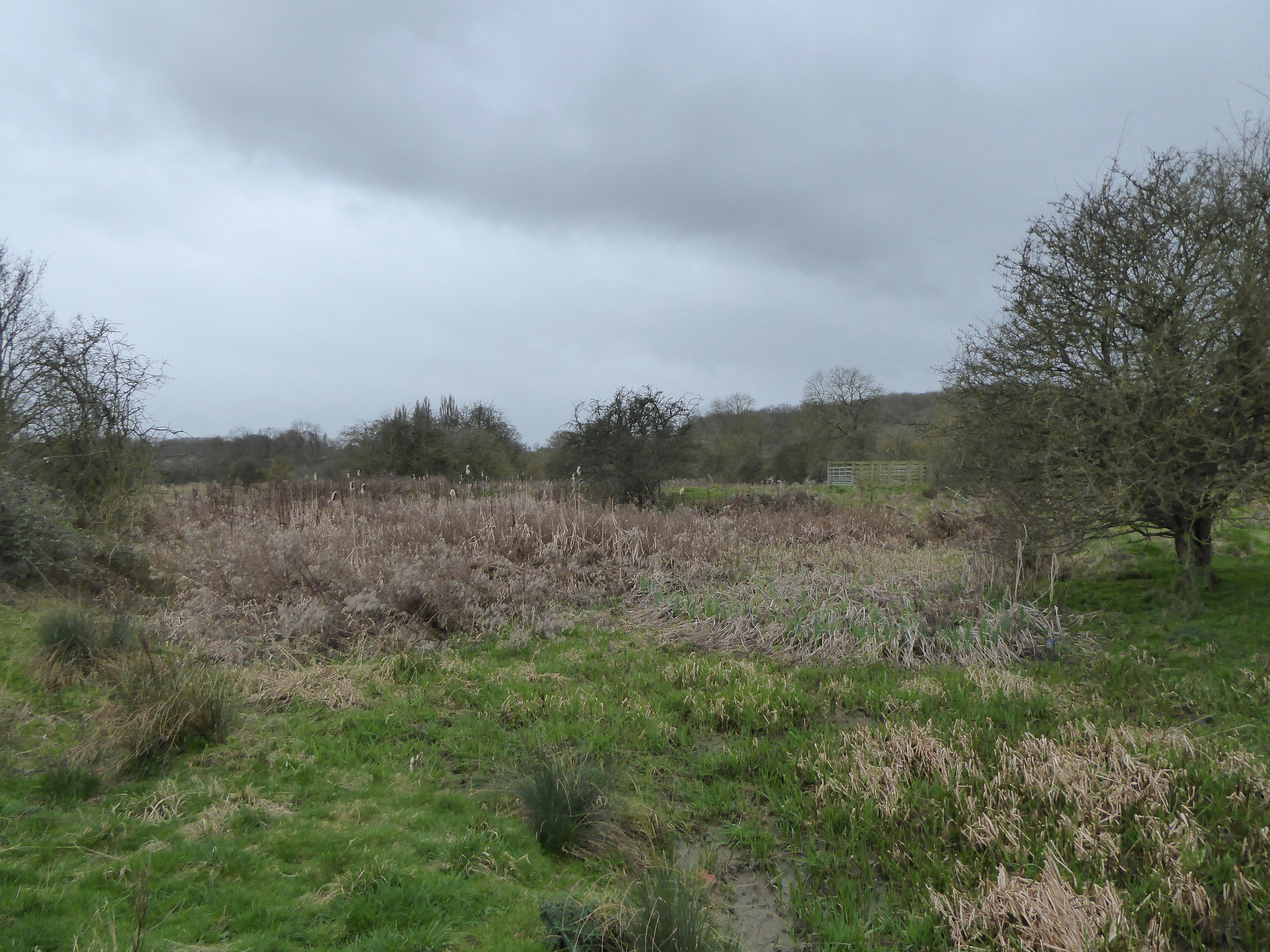
Alderton Images
Images are sourced within 2km of 52.115217/-0.925834 or Grid Reference SP7346. Thanks to Geograph Open Source API. All images are credited.


Alderton is located at Grid Ref: SP7346 (Lat: 52.115217, Lng: -0.925834)
Unitary Authority: West Northamptonshire
Police Authority: Northamptonshire
What 3 Words
///country.crafted.expel. Near Potterspury, Northamptonshire
Nearby Locations
Related Wikis

Alderton, Northamptonshire
Alderton is a small English village and civil parish about 9 miles (14 km) south of Northampton, and 10 miles (16 km) north of Milton Keynes, along a road...

Stoke Park Pavilions
Stoke Park Pavilions are all that remain of the stately house and grounds of Stoke Park near the village of Stoke Bruerne, Northamptonshire, England, approximately...

Grafton Regis
Grafton Regis is a village and civil parish in the south of the English county of Northamptonshire. The population of the civil parish (including Alderton...
River Tove
The River Tove is a river in England, a tributary of the River Great Ouse. Rising in Northamptonshire about a mile north of Greatworth, it flows for about...
Potterspury Lodge School
Potterspury Lodge School is a Cambian Group school in Northamptonshire, England. It is an Independent School that caters to children with ASD [autism spectrum...
Paulerspury
Paulerspury is a civil parish and small village in West Northamptonshire, England. It is approximately 3 miles (5 km) south of Towcester and 8 miles (13...
Stoke Bruerne Brick Pits
Stoke Bruerne Brick Pits is a six hectare nature reserve in Stoke Bruerne in Northamptonshire. It is managed by the Wildlife Trust for Bedfordshire, Cambridgeshire...

Grafton Regis Meadow
Grafton Regis Meadow is a 2-hectare (4.9-acre) nature reserve east of Grafton Regis in Northamptonshire. It is managed by the Wildlife Trust for Bedfordshire...
Nearby Amenities
Located within 500m of 52.115217,-0.925834Have you been to Alderton?
Leave your review of Alderton below (or comments, questions and feedback).