Broadfield
Settlement in Lancashire South Ribble
England
Broadfield
Broadfield is a charming village located in the county of Lancashire, England. Situated in the borough of Hyndburn, it is nestled in the picturesque rolling hills of the East Lancashire Pennines. With a population of around 2,500 residents, Broadfield offers a close-knit community feel and a peaceful rural atmosphere.
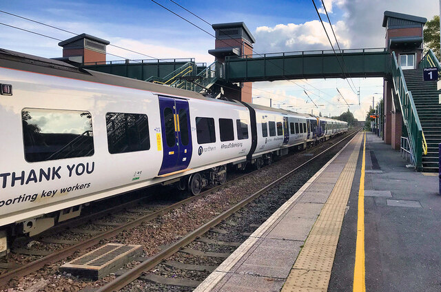
The village is well-connected to nearby towns and cities, with the M65 motorway just a short drive away, providing easy access to destinations such as Blackburn and Burnley. Broadfield is also served by regular bus services, making it convenient for both local commuters and visitors.
Broadfield boasts a range of amenities to cater to the needs of its residents. The village is home to a primary school, providing education for the younger members of the community. Additionally, there are several local shops, including a convenience store and a post office, ensuring that residents have access to everyday necessities.
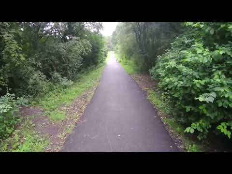
Nature lovers will appreciate the beautiful countryside that surrounds Broadfield. The village is surrounded by vast open fields, offering breathtaking views and providing ample opportunities for outdoor activities such as hiking, cycling, and picnicking.
For those interested in history, Broadfield is steeped in heritage. The village is home to several historical landmarks, including a centuries-old church and traditional stone-built cottages that showcase the architectural style of the region.
Overall, Broadfield is a delightful village that offers a peaceful and idyllic lifestyle, making it an appealing place to reside for those seeking a rural retreat within easy reach of urban amenities.
If you have any feedback on the listing, please let us know in the comments section below.
Broadfield Images
Images are sourced within 2km of 53.694497/-2.7082163 or Grid Reference SD5322. Thanks to Geograph Open Source API. All images are credited.

Broadfield is located at Grid Ref: SD5322 (Lat: 53.694497, Lng: -2.7082163)
Administrative County: Lancashire
District: South Ribble
Police Authority: Lancashire
What 3 Words
///toast.plots.scale. Near Leyland, Lancashire
Nearby Locations
Related Wikis

Academy@Worden
Worden Academy is a coeducational secondary school with academy status, located in Leyland, in the South Ribble district of Lancashire, England. It opened...

Wellfield Academy
Wellfield Academy (formerly Wellfield High School) is a coeducational secondary school located in Leyland in the English county of Lancashire.Wellfield...

Leyland, Lancashire
Leyland ( LAY-lənd) is a town in South Ribble, Lancashire, England, 6 miles (10 km) south of Preston. The population was 35,578 at the 2011 Census.The...

County Ground (Leyland)
The County Ground is a football stadium in Leyland, Lancashire, England, which is owned and operated by Lancashire County Football Association (Lancashire...
Occleshaw House
Occleshaw House, also known by its address as 2 Worden Lane, is a Grade II listed building in Leyland, Lancashire. The building has been described as the...

St Mary's Catholic High School, Leyland
St Mary's Catholic High School is a coeducational secondary school located in Leyland in the English county of Lancashire.It is a voluntary aided school...

St Andrew's Church, Leyland
St Andrew's Church is an Anglican church in Leyland, Lancashire, England. It is an active Anglican parish church in the Diocese of Blackburn and the archdeaconry...
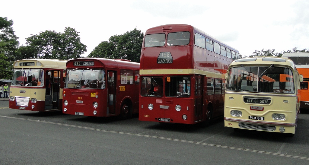
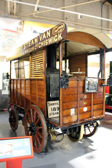
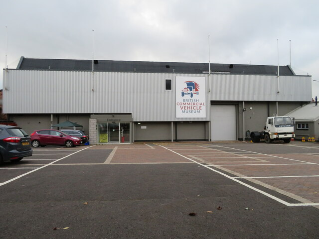
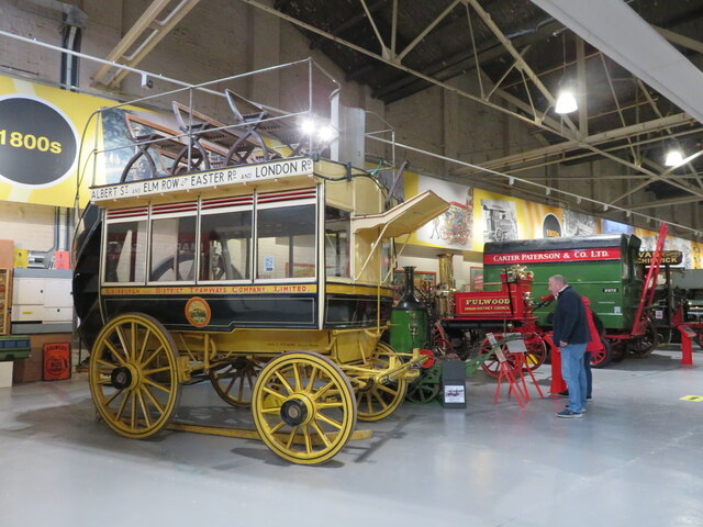
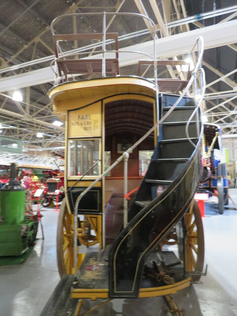
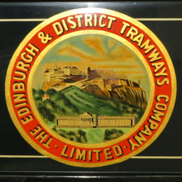
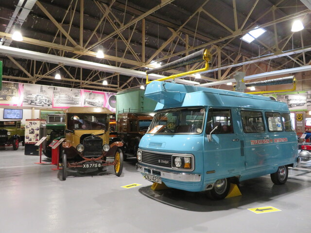
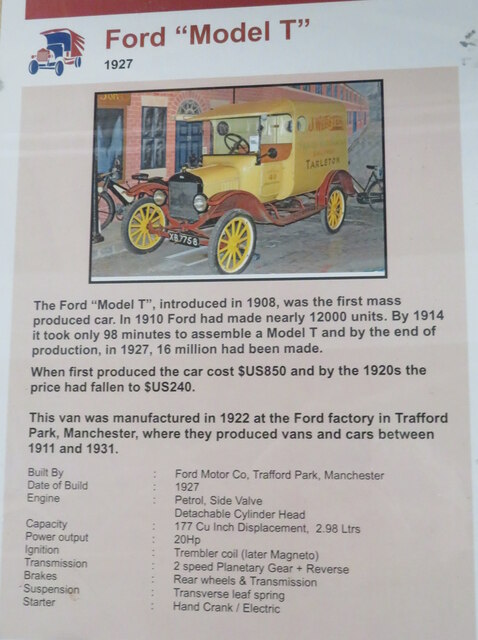
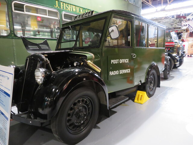
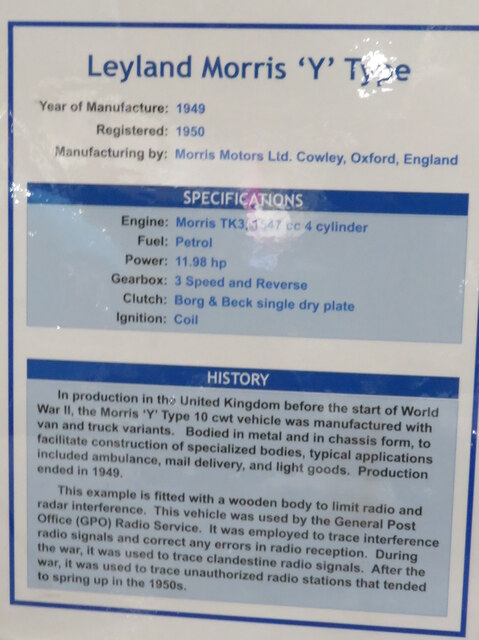
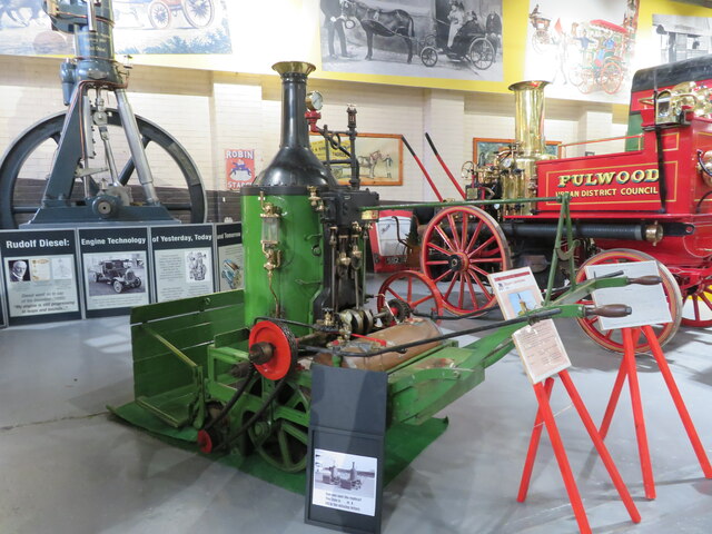
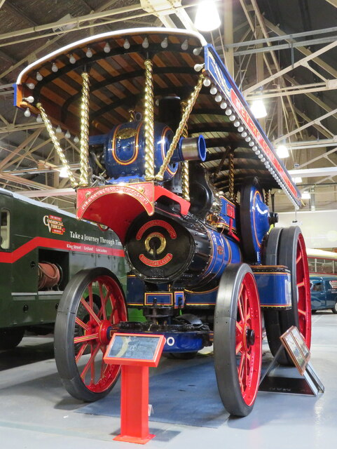
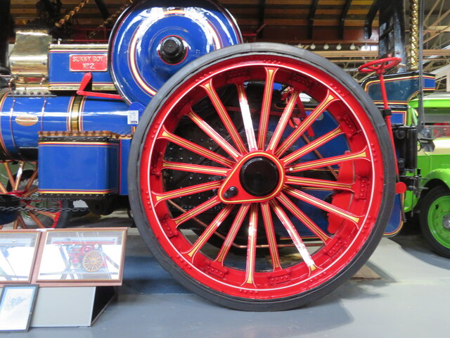
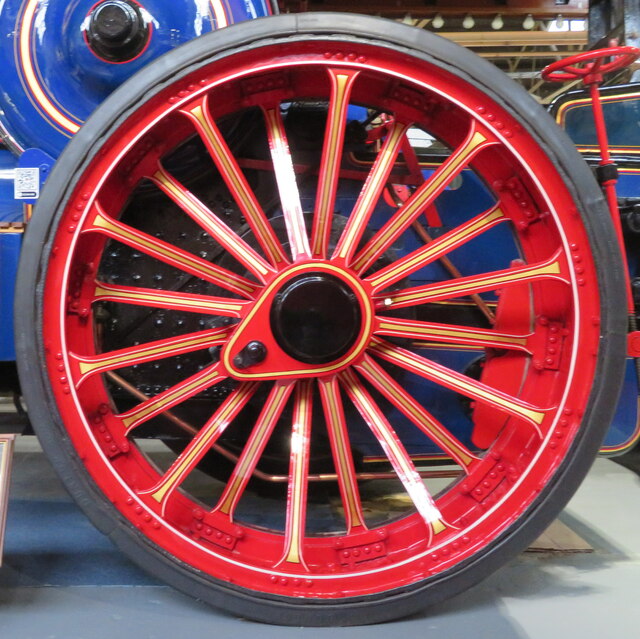
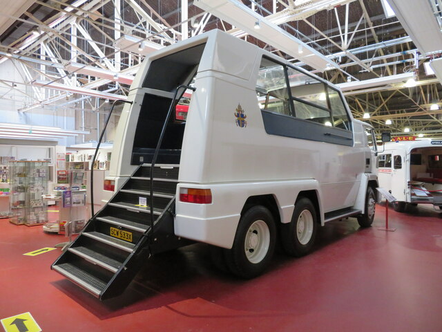
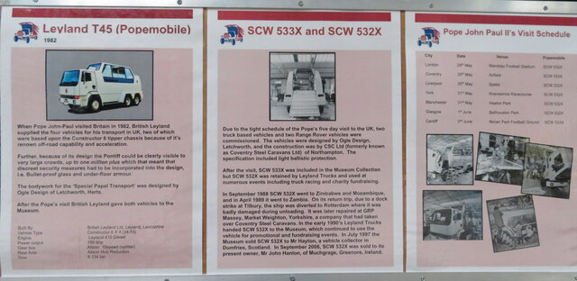
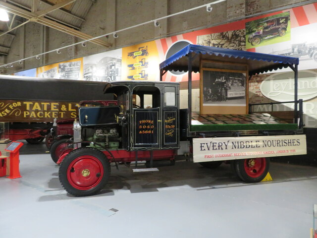
British Commercial Vehicle Museum
The British Commercial Vehicle Museum displays antiquarian buses, early fire engines and other historical and commercial vehicles produced by the British...
Related Videos
August Bank Holiday Morning walk 2023
Potensic Atom SE Drone.

August Bank Holiday 2023
Potensic Atom SE Drone Footage.
Mark Walks LEJOG - Day 30: Wigan to Farington
I am walking from Land's End to John O'Groats in aid of MacMillan Cancer Support. Full details on my website ...
Nearby Amenities
Located within 500m of 53.694497,-2.7082163Have you been to Broadfield?
Leave your review of Broadfield below (or comments, questions and feedback).