Broadfield
Settlement in Lancashire Hyndburn
England
Broadfield
Broadfield is a small village located in the county of Lancashire, in the northwest region of England. Situated approximately 5 miles southwest of the city of Preston, Broadfield is part of the South Ribble district. The village is nestled amidst the picturesque countryside, surrounded by lush green fields and rolling hills.
With a population of around 1,000 residents, Broadfield maintains a close-knit community atmosphere. The village is primarily residential, consisting of charming cottages and modern houses. It offers a peaceful and tranquil environment, away from the hustle and bustle of city life.
Broadfield benefits from its proximity to nearby amenities and services. The village has a small convenience store for daily needs, and a local pub that serves as a popular gathering spot for locals. For further amenities, residents can easily access the nearby town of Leyland, which offers a wider range of shops, restaurants, and leisure facilities.
Nature enthusiasts will find plenty to explore in and around Broadfield. The village is surrounded by beautiful walking trails and cycling routes, providing opportunities to enjoy the stunning Lancashire countryside. Additionally, nearby parks and green spaces offer recreational activities for families and individuals alike.
Transportation in Broadfield is primarily reliant on private vehicles, although there is a regular bus service that connects the village to nearby towns and cities. The village enjoys good road links, with the nearby M6 motorway providing easy access to other parts of Lancashire and beyond.
Overall, Broadfield offers a peaceful rural lifestyle amidst scenic surroundings, making it an attractive place to live for those seeking a tranquil retreat within close proximity to urban amenities.
If you have any feedback on the listing, please let us know in the comments section below.
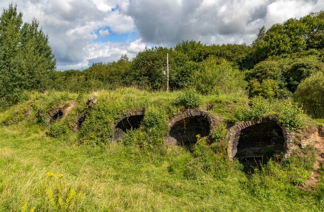
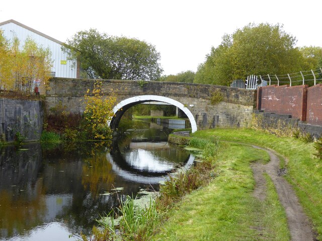
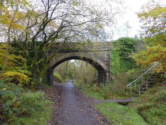
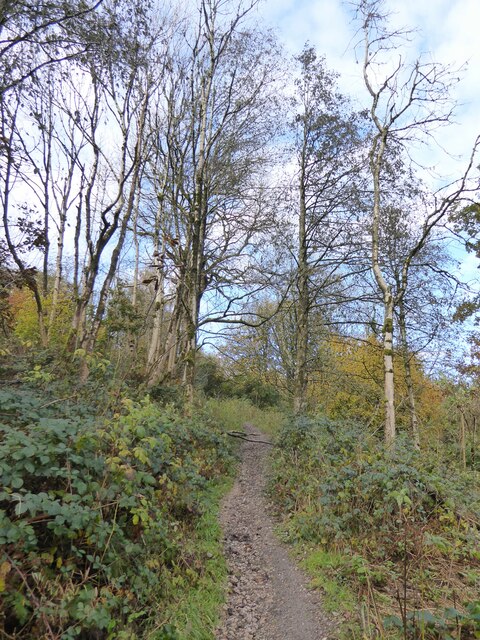
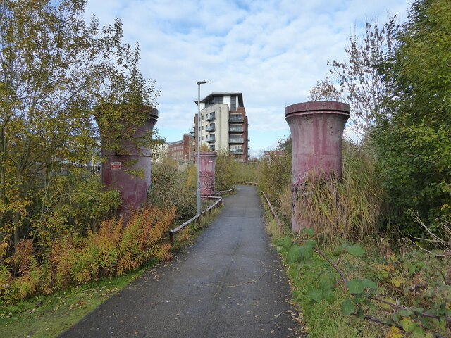
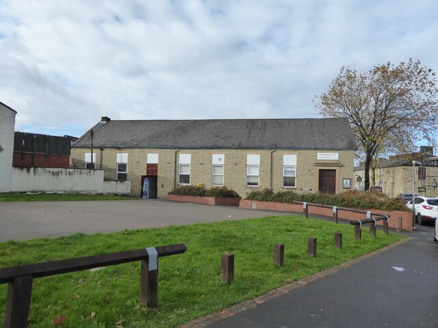
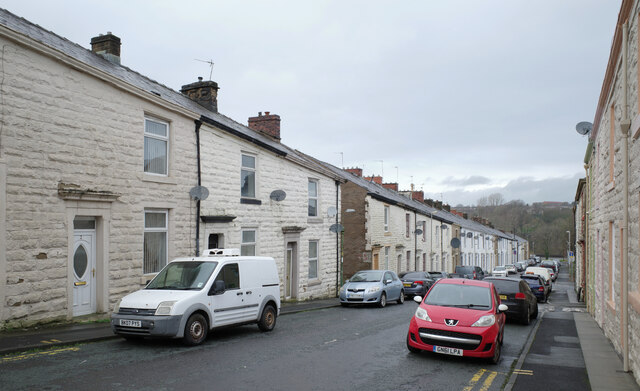
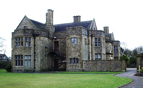
Broadfield Images
Images are sourced within 2km of 53.7371/-2.38381 or Grid Reference SD7426. Thanks to Geograph Open Source API. All images are credited.


Broadfield is located at Grid Ref: SD7426 (Lat: 53.7371, Lng: -2.38381)
Administrative County: Lancashire
District: Hyndburn
Police Authority: Lancashire
What 3 Words
///booms.skid.used. Near Church, Lancashire
Nearby Locations
Related Wikis

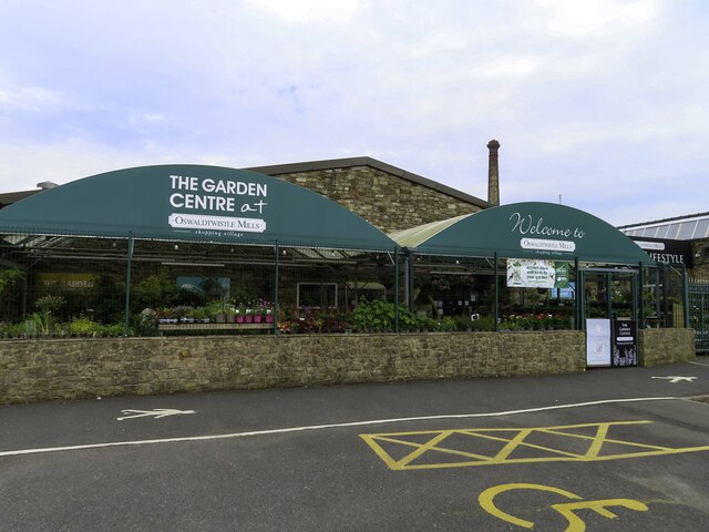
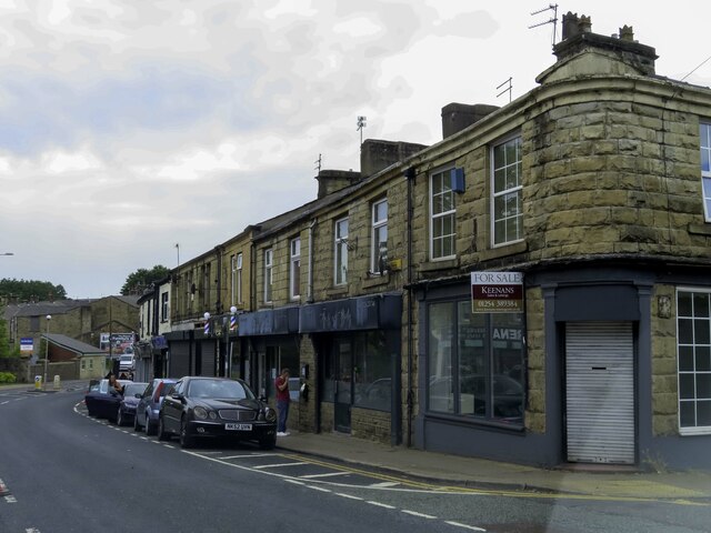
Oswaldtwistle
Oswaldtwistle ( "ozzel twizzel") is a town in the Hyndburn borough of Lancashire, England, 3 miles (5 km) southeast of Blackburn, contiguous with Accrington...

Mount Carmel Roman Catholic High School
Mount Carmel Roman Catholic High School is a coeducational Roman Catholic secondary school located in Accrington, a town located in the county of Lancashire...
Rhyddings
Rhyddings (formerly Rhyddings High School and then Rhyddings Business and Enterprise School) is a mixed secondary school located in Oswaldtwistle in the...

Immanuel Church, Oswaldtwistle
Immanuel Church is an Anglican church in Oswaldtwistle, Lancashire, England. It is an active parish church in the Diocese of Blackburn and the archdeaconry...

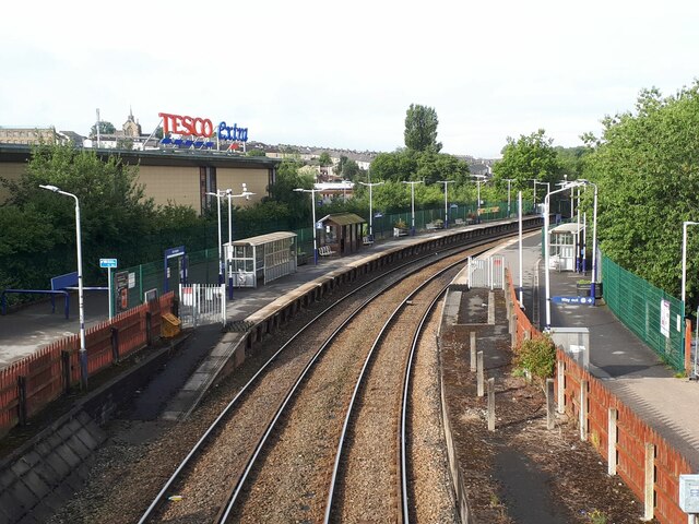
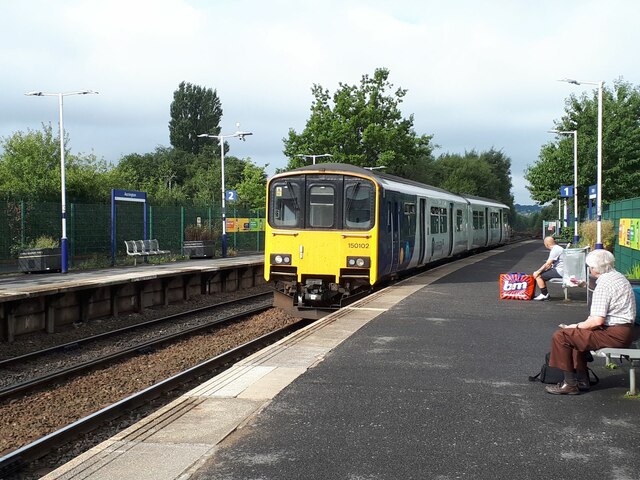
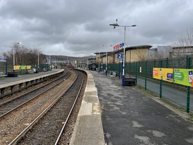
Church & Oswaldtwistle railway station
Church & Oswaldtwistle railway station serves both the village of Church and the town of Oswaldtwistle, in Lancashire, England. The station is 5+1⁄3 miles...

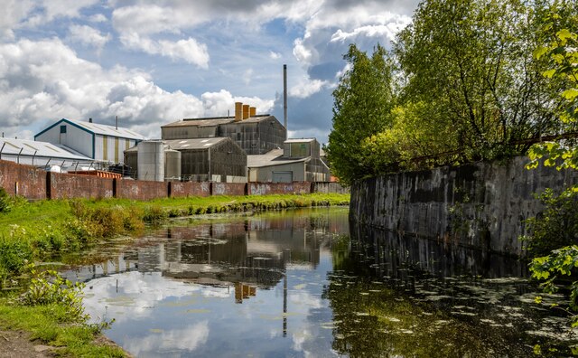
Globe Works, Accrington
The Globe Works is a former industrial works in Accrington, Lancashire, England, that following refurbishment contains rented offices and conference rooms...

The Hollins
The Hollins (formerly known as The Hollins Technology College until 2017) is a coeducational secondary school located in Accrington in the English county...
Haworth Art Gallery
The Haworth Art Gallery is a public art gallery located in Accrington, Lancashire, northwest England, and is the home of the largest collection in Europe...
Nearby Amenities
Located within 500m of 53.7371,-2.38381Have you been to Broadfield?
Leave your review of Broadfield below (or comments, questions and feedback).